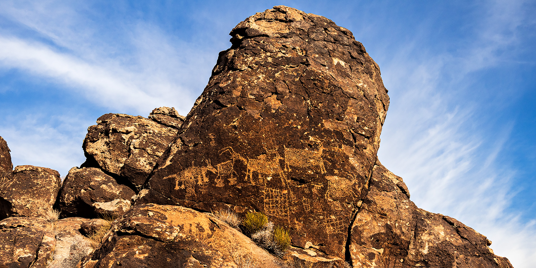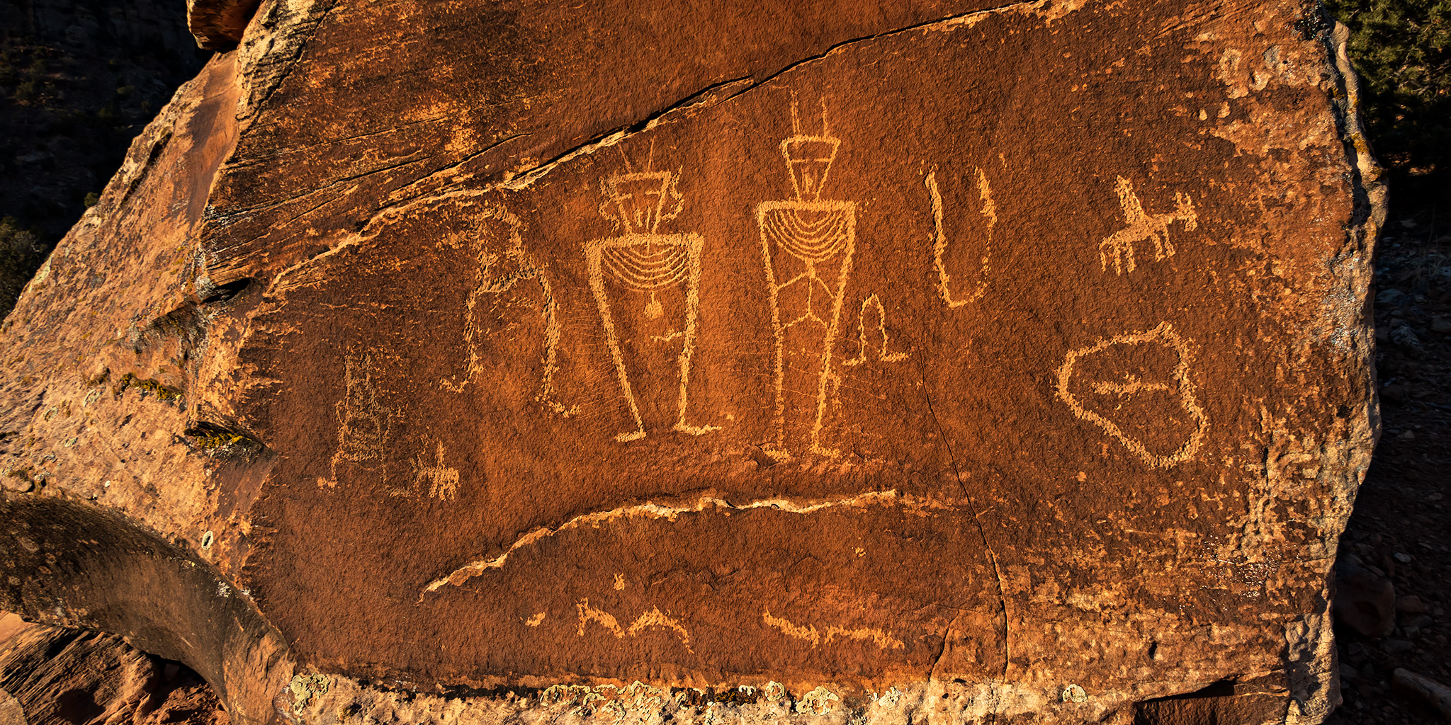
Return to Saguaro National Park & Petroglyphs of the Tucson Area
Arizona Winter Loop | Wednesday – Thursday, February 1-2, 2023
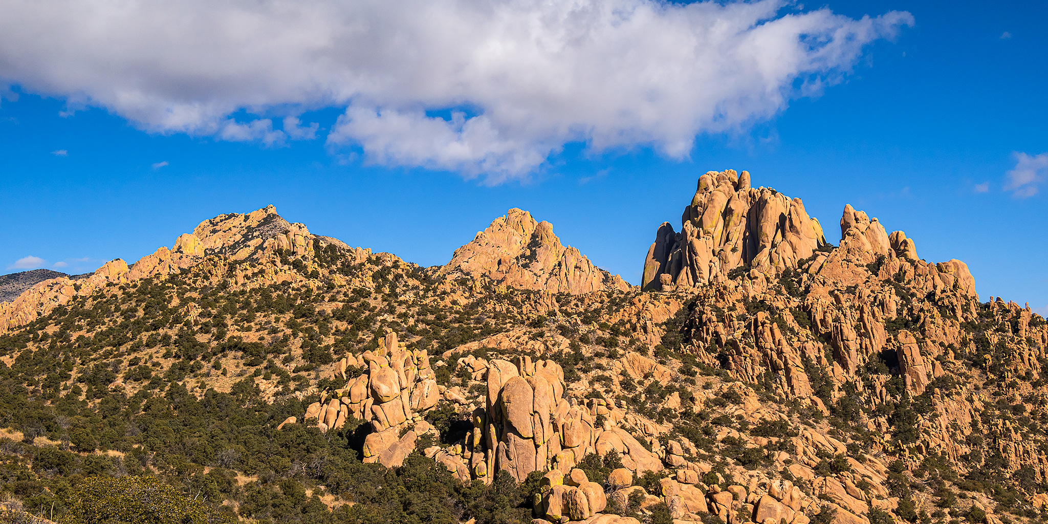
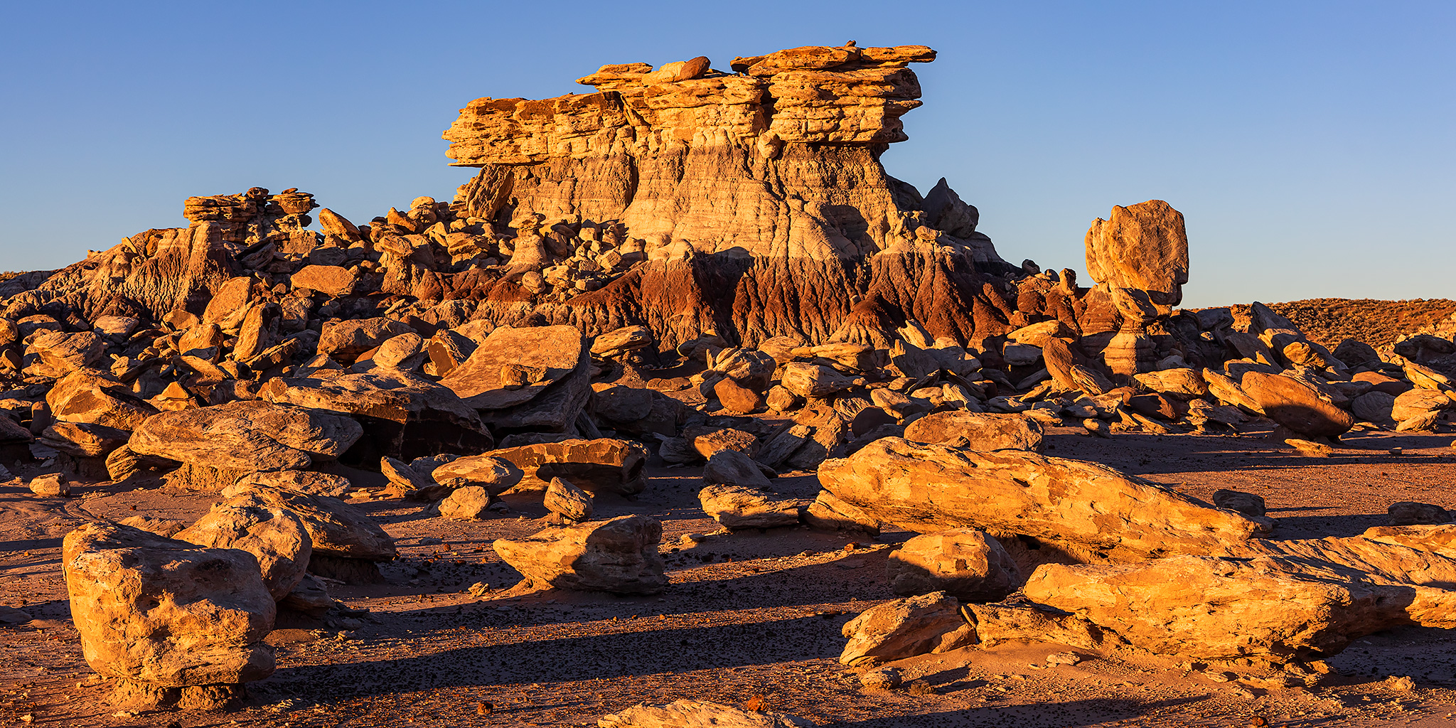
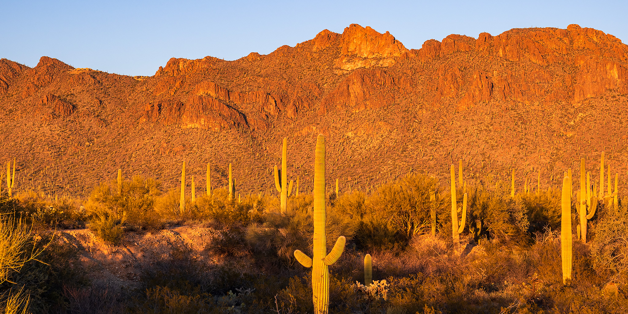
After leaving the Sky Islands late on Wednesday afternoon we headed northwest into the Sonoran Desert near Tucson so we could spend the next day hiking in the Tucson Mountain District of Saguaro National Park, which we had not been back to since our Honeymoon Adventure in 2017. During that previous visit we really only had time to tour the park roads and go on a short hike to the petroglyphs of Signal Hill, so I was looking forward to hiking a little deeper into the park this time. After grabbing dinner in Tucson, we drove around the southern end of the Tucson Mountains in the late evening as we made our way over to the Gilbert Ray Campground in the Tucson Mountain Park. We arrived just in time to get our tent setup before it got dark out.
Leave a Comment