Press "Enter" to skip to content

Tag: monument mesa

Fallen Rock Fall Colors

Monday, November 2, 2015

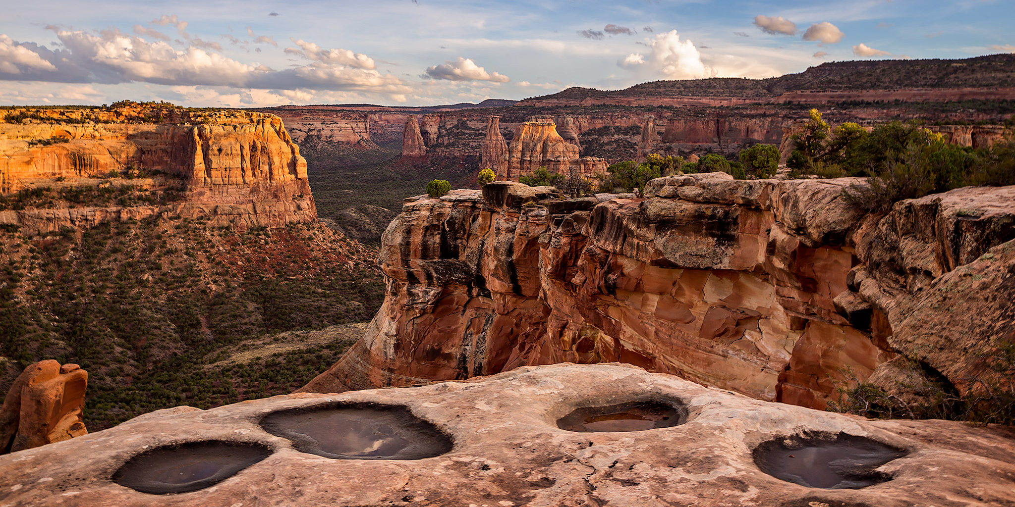
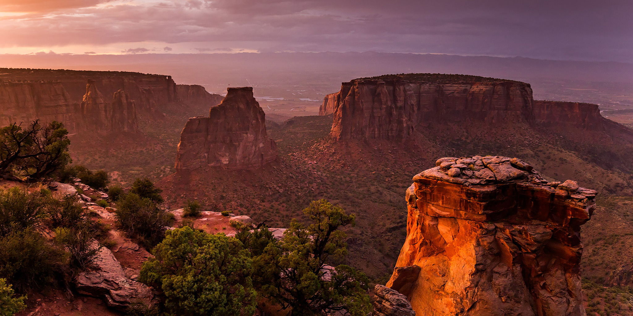
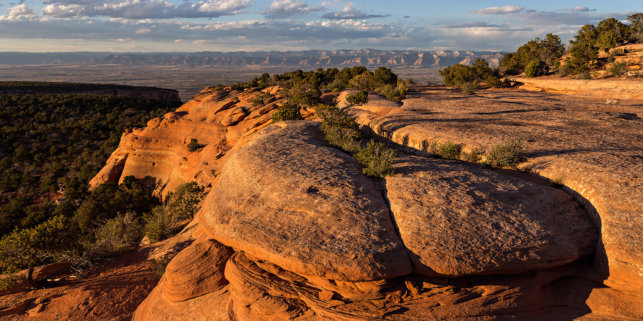
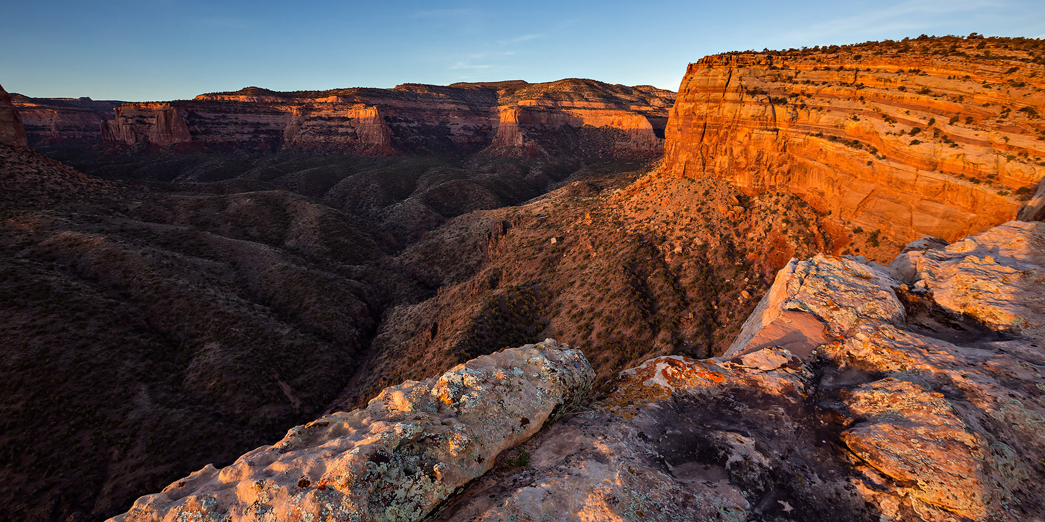
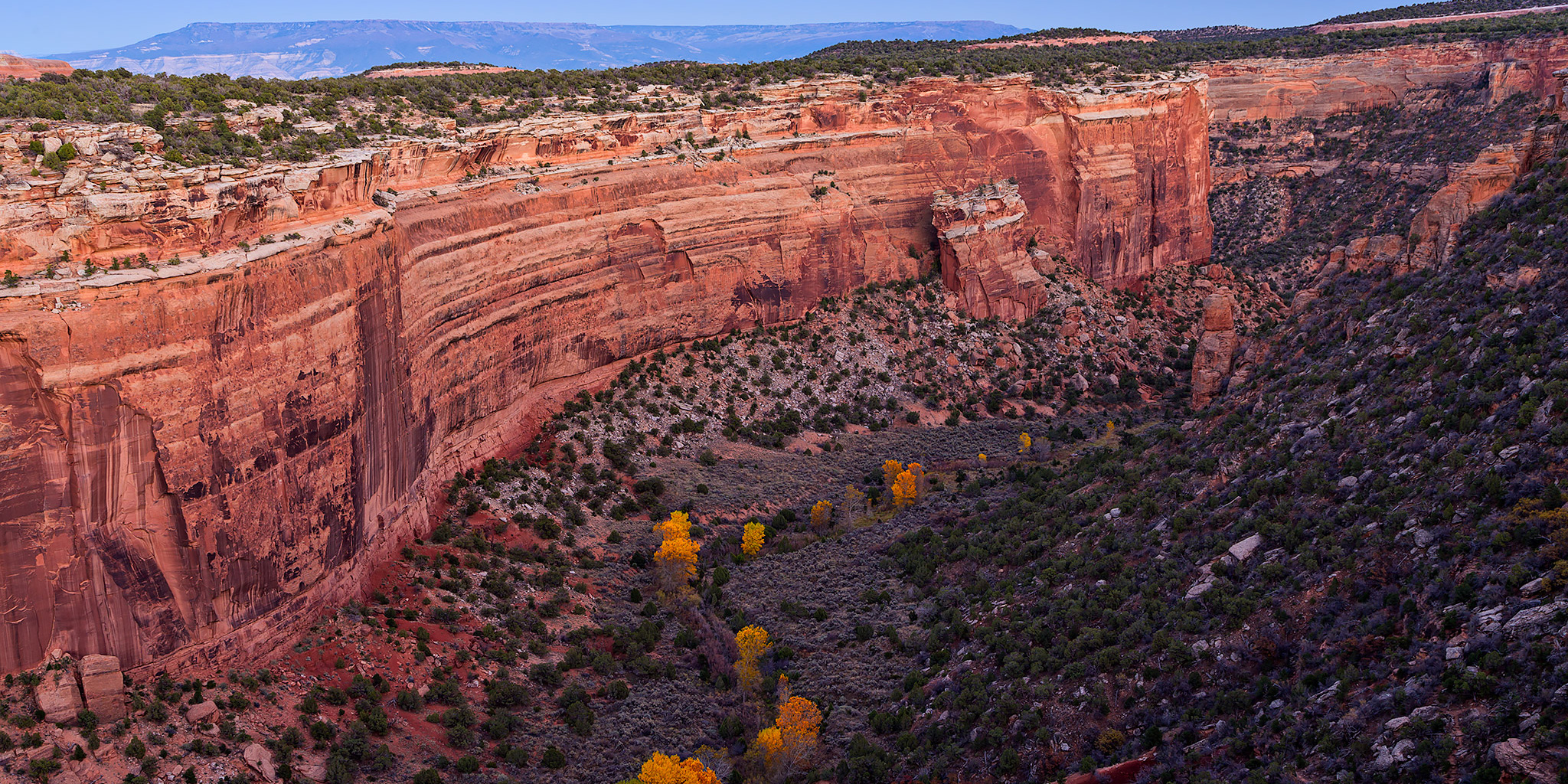
After returning home from Denver this afternoon, I decided to drive up to the Colorado National Monument about an hour before sunset to see if the cottonwoods in upper Ute Canyon had changed colors yet. I had checked on them a few times over the past two weeks and found them to be mostly green, but this time many of them had changed to a nice golden yellow. After taking a quick hike over to Suction Point, I watched the sun set from near the Fallen Rock Overlook and took a few photos after the sun was down. On my way back down from the overlook I also stopped for a quick photo over Red Canyon towards the city lights of Grand Junction in the distance.

Leave a Comment

Rim Rock Drive

Sunday, October 18, 2015

For most of the day we had an overcast sky with the occasional light rain shower here in the Grand Valley, but as it got later in the afternoon the clouds started to break up a bit and the chances of a nice sunset were looking good. I decided to head out with my camera and take a drive through the Colorado National Monument on Rim Rock Drive so I could take a few photos from the overlooks until sunset. The late afternoon light breaking through the clouds turned out to be pretty nice at times. When I reached the Book Cliffs View near the Visitor’s Center and campground I decided to finally climb to the summit of Saddlehorn (5,770) nearby. It was a short and easy climb, but it’s something I’ve wanted to do for a long time and am happy that I can finally cross it off my list. Here are a few photos from my evening along Rim Rock Drive.

2 Comments

Monument Rain

Wednesday, July 8, 2015

On a whim, I decided to drive through the Colorado National Monument this evening to try and catch a nice sunset. The last few days we’ve had quite a few thunderstorms move through the Grand Valley and I was hoping that tonight’s storms might create some nice conditions.

Leave a Comment

Colorado National Monument Traverse II

The Monument from Top to Bottom | Black Ridge Loop
Saturday & Sunday, March 28-29, 2015

After completing a traverse across the face of the Colorado National Monument last year I decided that I wanted to put together a longer loop through the Monument to hike this year. The route I strung together begins at the Kodels Canyon trailhead outside of the Monument near Fruita and climbs up the historic Fruita Dugway trail where it connects with the Black Ridge Trail. The Black Ridge trail is the highest trail in the Colorado National Monument topping out at just over 6,700 feet. Since the trailhead is at about 4,700 feet, this route ascends over 2,000 feet of elevation gain while climbing from the lower part of the Monument to the higher part. After following the Black Ridge Trail to it’s end at the Upper Liberty Cap trailhead we would then follow the entire Liberty Cap trail back down to the Wildwood trailhead. Since this route is about 18 miles in length, I thought it would make a nice overnight backpacking trip so that we could take our time and spend a night in the Monument. I stopped by the Visitor’s Center on Friday and picked up a backcountry camping permit so that we could start the hike bright and early on Saturday morning.

Leave a Comment

Return to The Island

Sunday, March 15, 2015

On Sunday morning Diane and I headed into the Colorado National Monument for a short and steep sunrise hike. Recently Diane had mentioned to me that she wanted to climb to the top of The Island which is between Monument Canyon and Wedding Canyon. It had been a few years since I was up there and I was definitely interested in hiking it again, especially since we were going to catch a sunrise on the way. We made it to the Lower Monument Canyon Trailhead about 45 minutes before sunrise and were the first vehicle in the parking lot. We started hiking in the dark and followed the rim on the southeast side of The Island over Monument Canyon so we would have a good view as the sun came up.

2 Comments