Press "Enter" to skip to content

Tag: hells hole

The Arizona Strip: Peaks, Plateaus & Highpoints

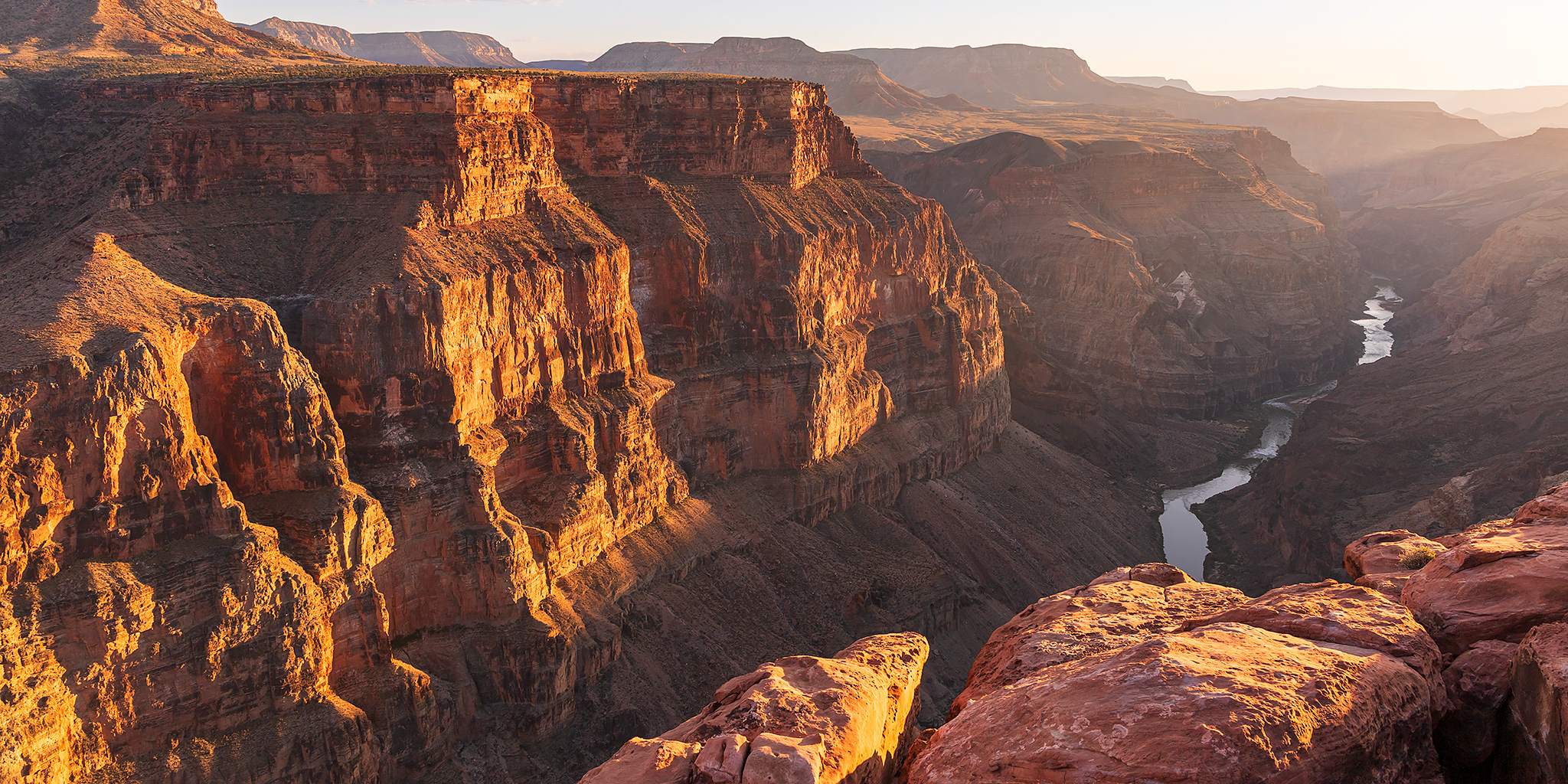
Last year while I was reading A Canyon Voyage by Frederick S. Dellenbaugh about the second Powell Expedition that went down the Green and Colorado Rivers in 1871 and 1872, the text also spoke of their time spent reconnoitering and triangulating throughout the strip of land that is found north of the Grand Canyon and south of Utah state line, which is what motivated me to return to the Arizona Strip this year so I could could explore some of the peaks, plateaus and highpoints of this expansive region for myself. I also figured that this would make for a great extension of my exploration of the High Plateaus of Utah by continuing south through the Grand Staircase to the plateaus of the Grand Canyon District. So after leaving the Kaibab Plateau behind, Jared and I took off south across the Kanab Plateau from Fredonia on Monday afternoon and set out to spend the rest of the week making our way across the Arizona Strip. However, with temperatures much warmer than usual for this time of the year all over the southwest, we ended up taking it easy, relaxing in the shade at higher elevations as much as possible and having to cancel some of our hiking plans that it was just too hot for. Still, this was a great introduction of the plateaus of the Grand Canyon and I look forward to returning in the future to finish the hikes we couldn’t do this time around.

Leave a Comment
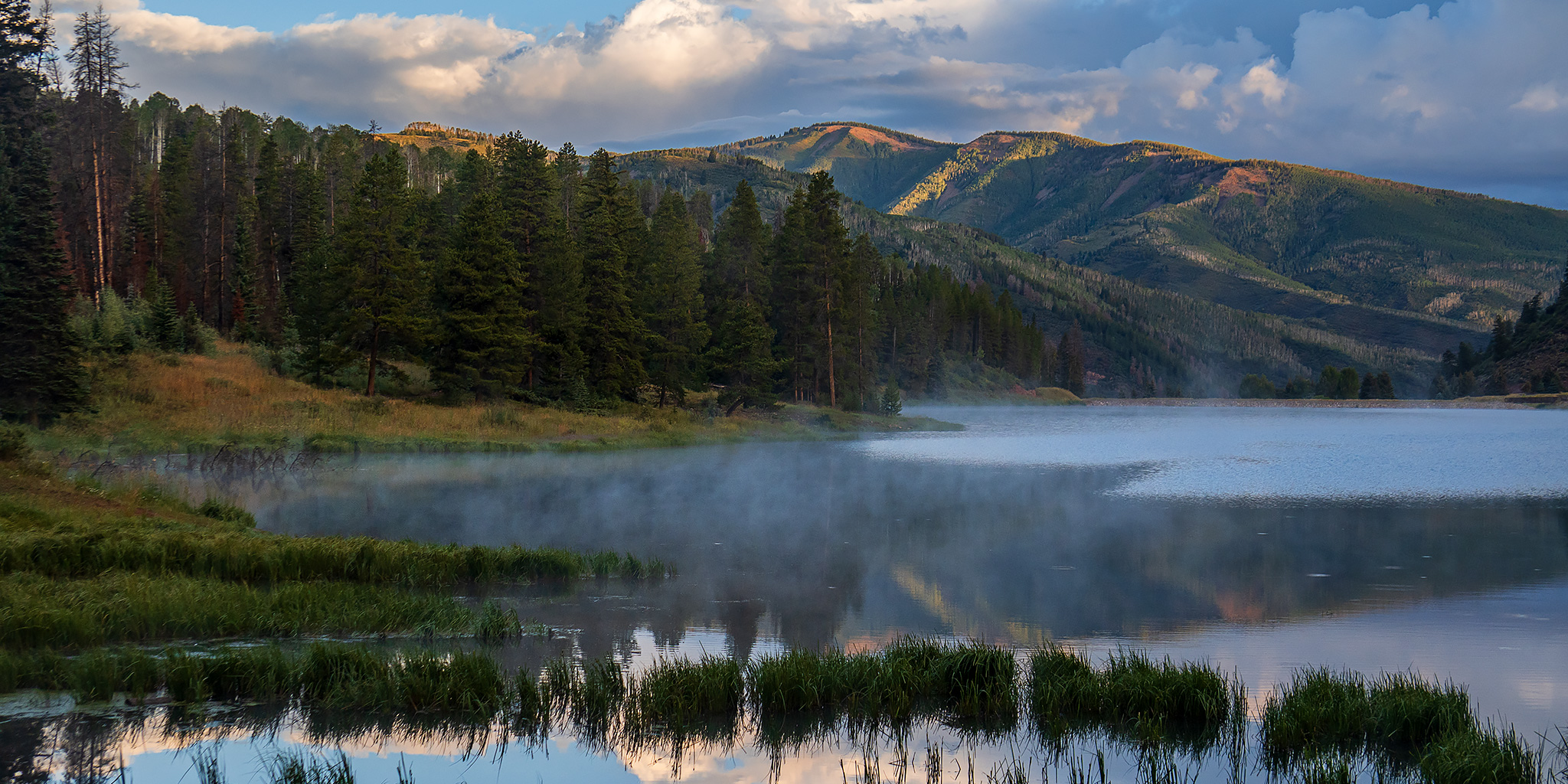
Sylvan Lake: Hardscrabble Mountain to Fulford Cave

Wednesday – Friday, August 14-16, 2024

This week I left after work on Wednesday afternoon and headed east on I-70 towards Eagle so I could spend Thursday and Friday attending the annual GIS Colorado Summer Meetup, which was being held at the Sylvan Lake State Park campground this year. I exited from the interstate at Gypsum and followed the road along Gypsum Creek around Hardscrabble Mountain below the edge of the Red Table Mountain as I hoped to take the backroads to Sylvan Lake, but when I was only a few miles away I ran into wet roads that were slick with mud and had to turn back and go around the long way through Eagle. I haven’t had good luck with the slick muddy roads in this area in the past, so I didn’t want to take any chances! Here are some photos from a few days spent at the Elk Run Campground next to Sylvan Lake.

Leave a Comment

Third Flats: Saddle Up & Pony Tail to Horse Mesa

After Work Adventures | Tuesday & Wednesday, May 14 & 15, 2024

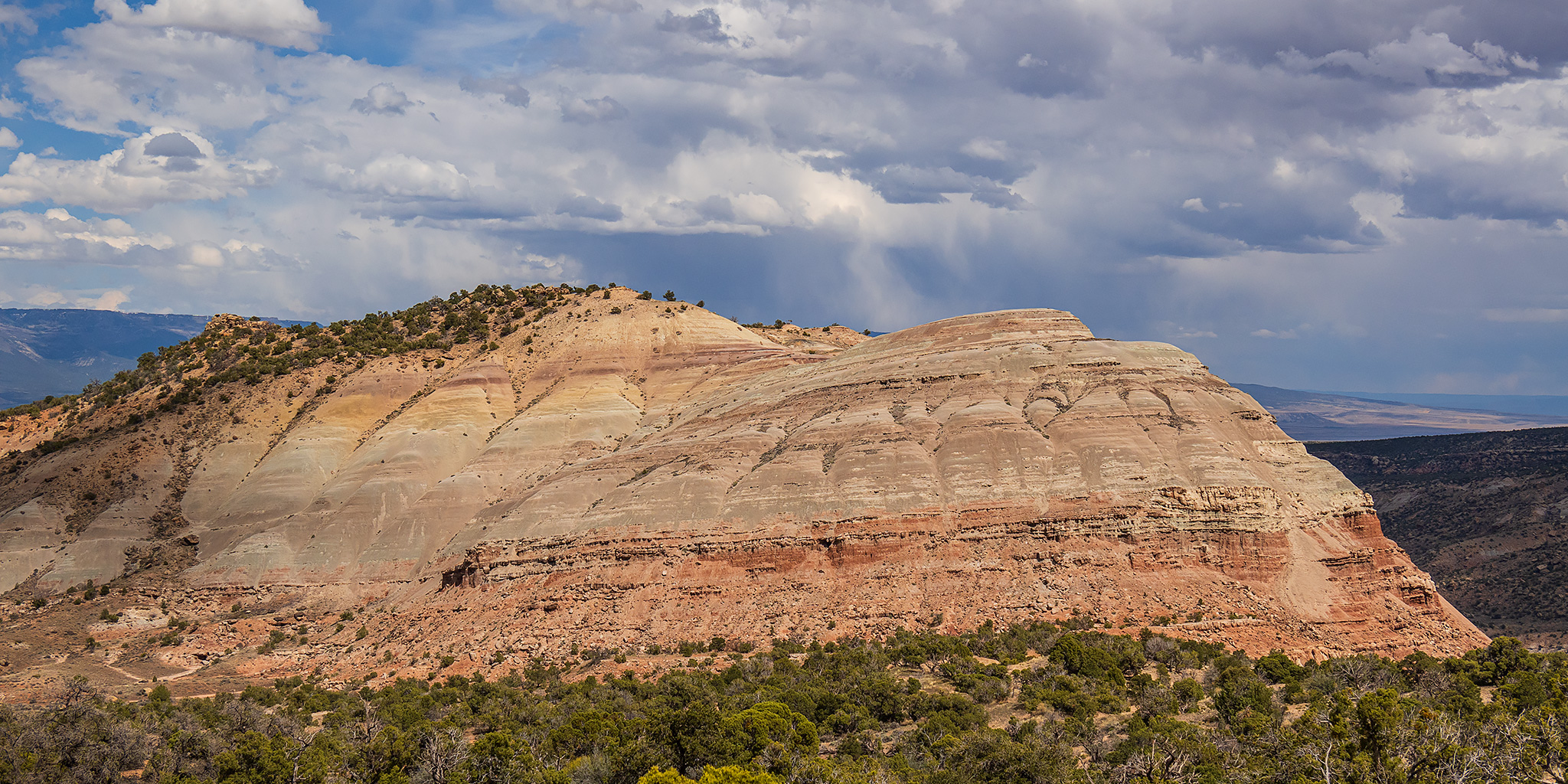
On Tuesday afternoon I left work with the intention of hiking a pair of trails in the Third Flats area to the highpoint of Horse Mesa. Although there were storms in the area, it seemed like they were going to miss the Grand Valley so I didn’t worry too much about them at the time. I drove up Little Park Road into the Bangs Canyon Recreation Area and then followed the Billings Canyon Road to the start of the Saddle Up Trail and started hiking. However, as soon as I made it a short distance up the trail the storm I wasn’t initially worried about moved into the area with strong gusts of wind and rain, so after looking at the weather radar map again I decided it would be best to turn around and come back the following day. Normally, a little rain wouldn’t scare me off from a hike, but I had driven across a lot of clay areas on the road to reach the trailhead and was a little worried about how slick those sections could get if they got wet.

Leave a Comment

Bangs Canyon: Rough Canyon Loop

After Work Adventures | Tuesday, April 23, 2024

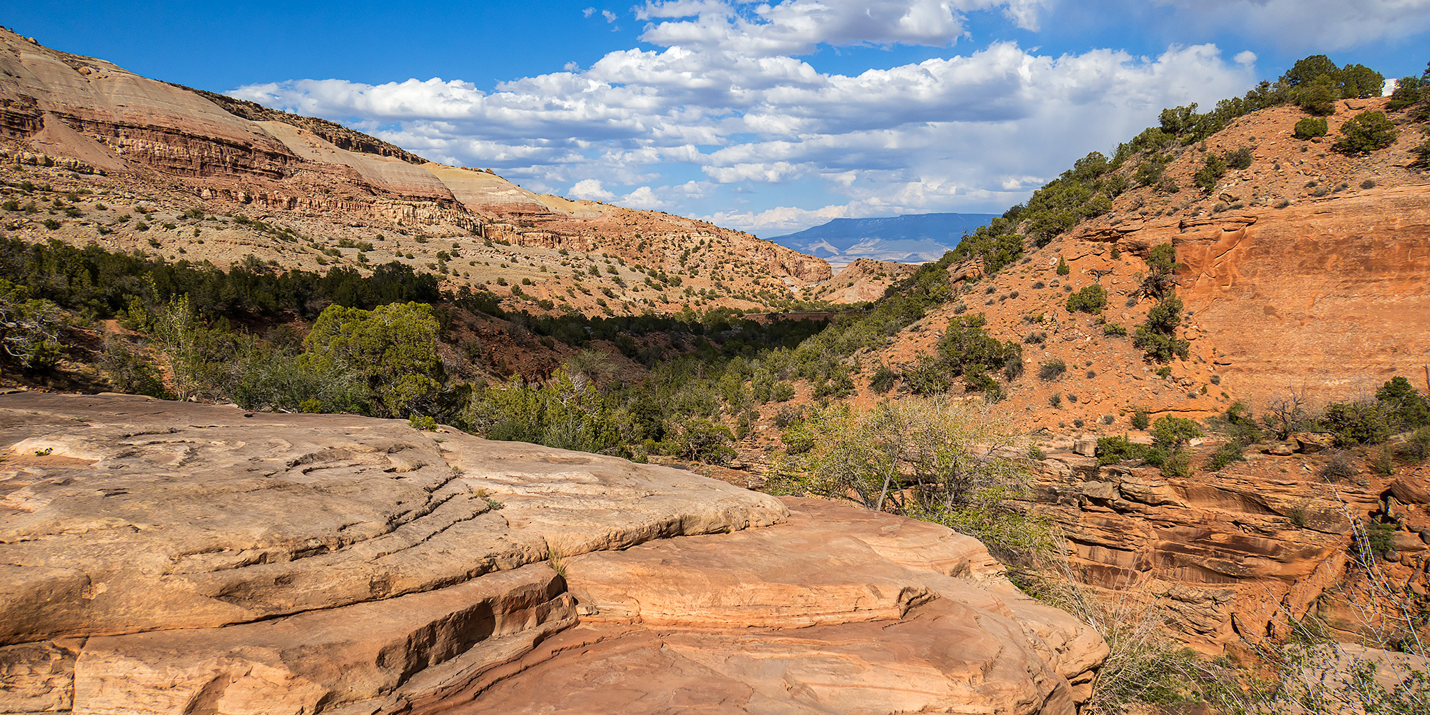
As I’ve been trying to hike more local trails during the week, I realized that I had not hiked much of Rough Canyon within the Bangs Canyon Recreation Area and thought it was finally time to remedy that oversight after work today. So this afternoon I drove up to the Bangs Canyon Trailhead and started hiking down Rough Canyon from where it splits off from the more popular Mica Mine Trail. I mistakenly thought this was going to be an easy hike along a good trail the entire way, but there turned out to be a bit more scrambling and route-finding along the way than I was expecting. It was nothing too difficult, but I had just assumed there would be a well-used trail down the canyon since it’s in a popular area close to town. I followed the the canyon downstream until it opened up near the mouth of Cross Canyon and then met up with the Tabeguache Trail which I followed back up to the trailhead to complete a loop. It turned out to be a nice loop through a rugged canyon that’s pretty close to home.

1 Comment

Rainbow Bridge: Circumnavigation of Navajo Mountain

The Canyons of Navajo Mountain & Rainbow Bridge National Monument
Wednesday – Monday, March 15-20, 2023

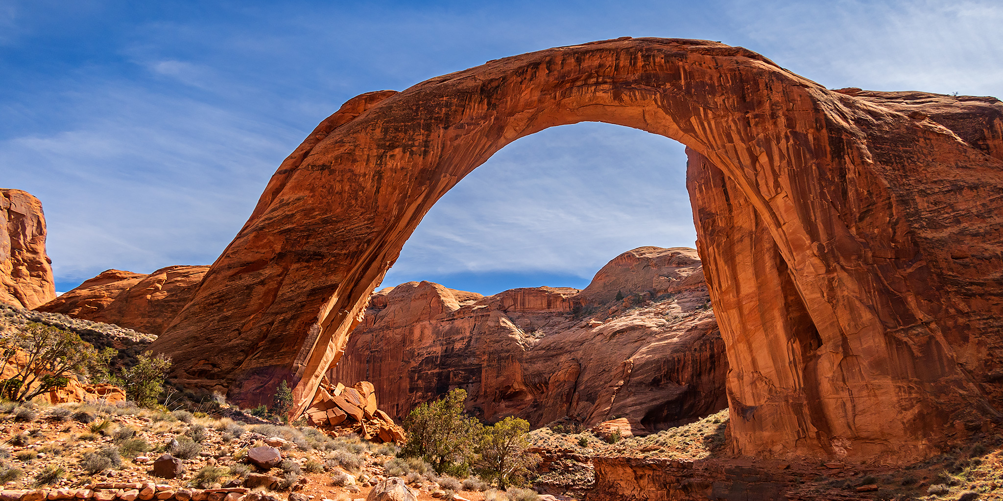
This year for our annual spring backpacking trip, Jared, Dave and I were planning to spend an easy four days and three nights hiking down Paria Canyon from the White House Trailhead to Lees Ferry. It’s a trip we have all wanted to do for a long time and were looking forward to, but back in December when I reserved the permit we had no idea what the atmospheric river would have in store for us this winter! A couple of days before our trip was set to begin there was a large flash flood in Buckskin Gulch and the Paria River that unfortunately killed two hikers and resulted in the rescue of about a dozen more. With reports of deep cold water crossings and continued precipitation and cold air temperatures in the forecast, we decided that this was probably not the right time for this hike and started considering different options. Since I try to be prepared, I already had a backup plan to hike around Navajo Mountain to Rainbow Bridge ready to go in case the weather did not cooperate with us on this Paria Canyon hike, so we decided to try that one instead.

6 Comments