Press "Enter" to skip to content

Tag: google map

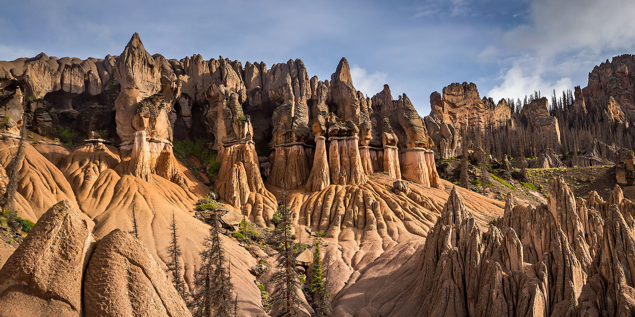
Wheeler Geologic Area in the La Garita Wilderness

Saturday – Sunday, July 29-30, 2017

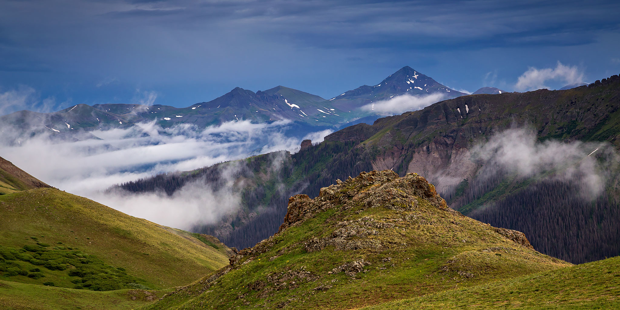
After our hike to the summit of Culebra Peak in the morning, Diane and I started our drive back home from the San Luis Valley. However, we did not plan to arrive back home until Sunday afternoon since I hoped to finally try and visit the Wheeler Geologic Area in the La Garita Wilderness between South Fork and Creede. This location has been on my to-do list for a very long time, but since I never seem to get down this way often, especially with extra free time, I’ve never been able to make it happen before. This time I was determined to get there and spend the night nearby.

6 Comments
Carson Saddle Peaks: Bent Peak & Carson Peak

Saturday & Sunday, July 22-23, 2017

Next weekend Diane and I are scheduled to climb our first 14er of the year, so this weekend we decided to head down to the Continental Divide near Lake City so we could hike a couple of 13ers to help us prepare. The weather on Saturday was predicted to be wet and stormy early but Sunday morning was looking good, so we planned to hike the 13ers early Sunday and tried to find something a little lower and in the trees for Saturday.

Leave a Comment

Little Cimarron River

Saturday & Sunday, July 15-16, 2017

Last Labor Day weekend, Diane and I had set off to complete a three day loop in the Uncompahgre Wilderness connecting the Fall Creek Trail and the Little Cimarron Trail. Unfortunately, stormy weather prevented us from crossing over the high ridge into the Little Cimarron River valley, so we had to cut our trip short and returned the way we had come. This weekend we decided to go on an overnight trip along the Little Cimarron River to make up for it since I’ve been itching to get back into the Uncompahgre Wilderness, which is one of my favorite, and often overlooked, wilderness areas close to home.

4 Comments

Rico – Silverton Trail

Saturday & Sunday, July 8-9, 2017

Diane and I spent the past weekend in the San Juan Mountains near Silverton getting in a little high elevation hiking. We left home early on Saturday morning and drove all the way to the end of the Bandora Mine Road in the South Fork of Mineral Creek and found a campsite shortly before arriving at the trailhead. We quickly setup camp and then started hiking up the Rico – Silverton Trail to it’s intersection with The Colorado Trail. There were a lot of wildflowers along the trail, especially in South Park along with some patches of snow over parts of The Colorado Trail, including a big drift across Rolling Mountain Pass. When we reached the high point of the trail I climbed to the summit of an unnamed 12er that offered great views of Engineer Mountain, Jura Knob and the surrounding area.

6 Comments

Last Dollar Peaks of the Sneffels Range

Whipple Mountain & Last Dollar Mountain
Independence Day | Tuesday, July 4, 2017

This year for Independence Day Diane and I woke up early and drove down to the west end of the Sneffels Range near Telluride to climb a couple of mountains just off the Last Dollar Road. We started out by hiking up the Whipple Trail to the summit of Whipple Mountain (11,922) which was about 1.5 miles in length with 1,500 feet of elevation gain. It was mostly up an easy trail lined with wildflowers and then the last section from the saddle to the summit was on a faint track through a forest where the mosquitoes were pretty terrible. We enjoyed the view from the summit over toward Wilson Peak, El Diente Peak, and Lizard Head for a little bit and then hiked back down to the trailhead.

Leave a Comment