Press "Enter" to skip to content

Tag: book cliffs

Tour de Swell

Saturday & Sunday, March 29-30, 2014

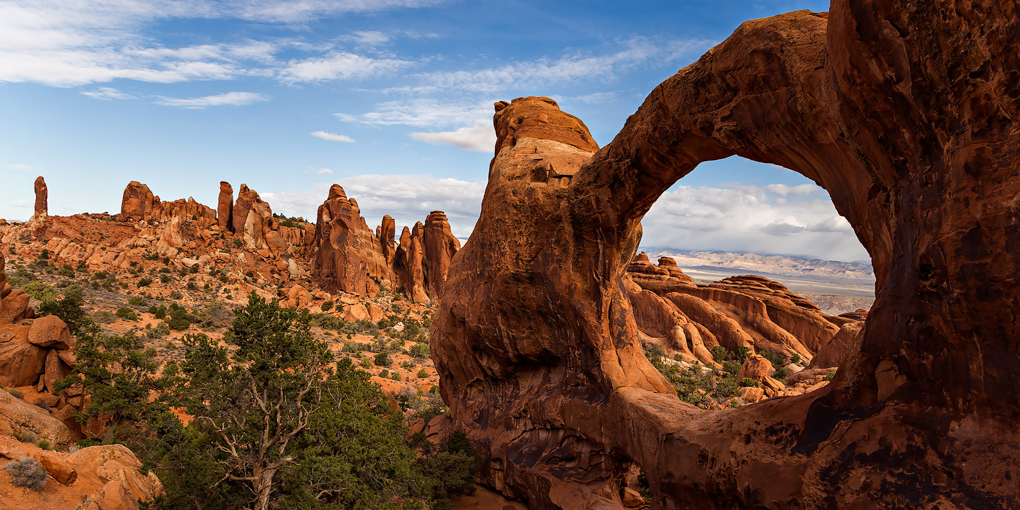
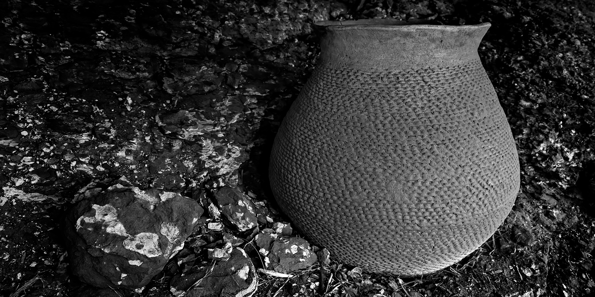
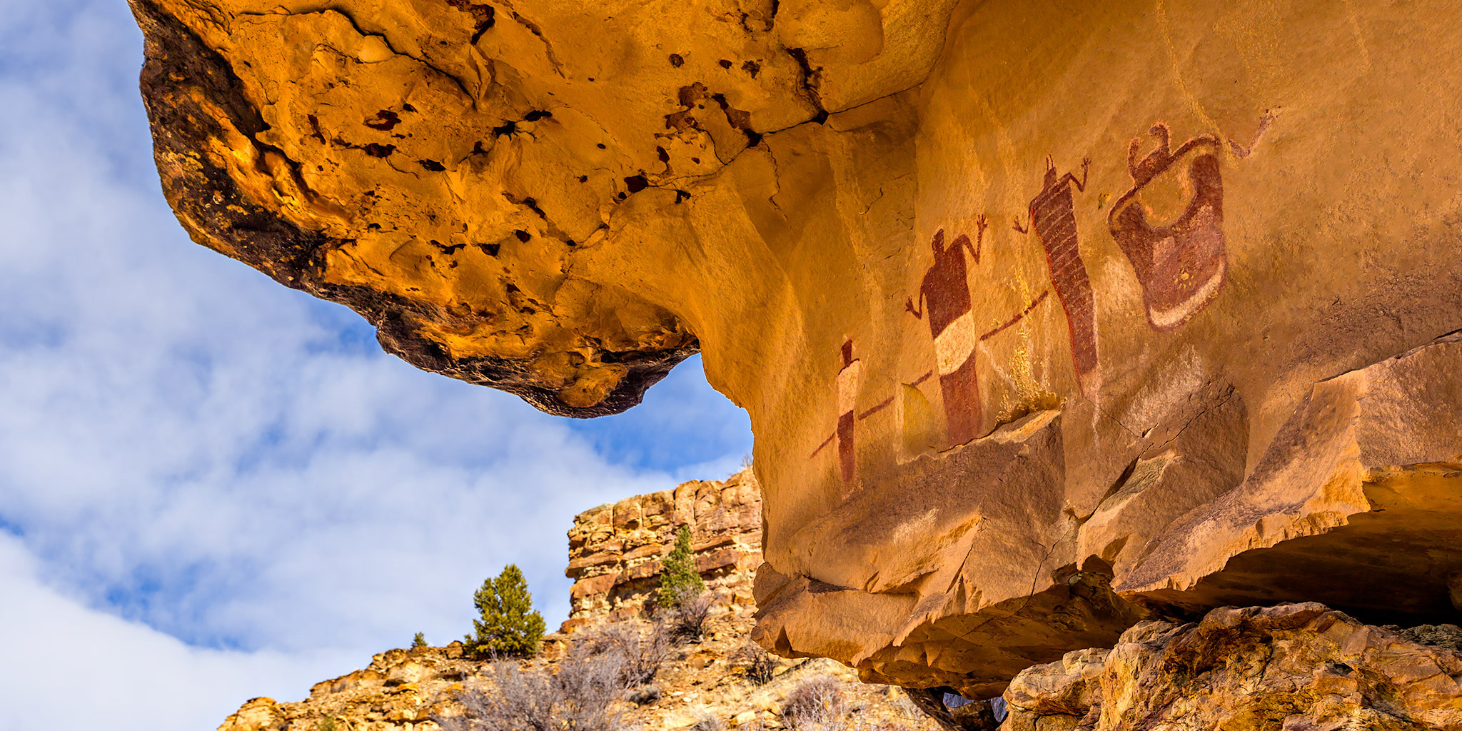
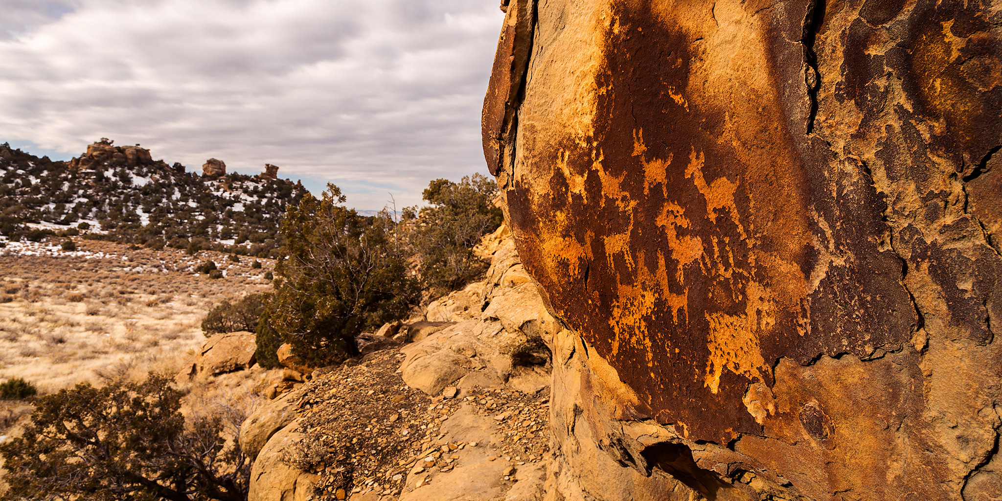
I recently realized that I hadn’t been out to the San Rafael Swell in quite some time and felt it was time to get back again. Diane had never been to the Swell before so I thought it would be nice to give her an overview tour of the northern Swell this weekend. She would get to see some new sights and I would get to revisit and rephotograph some sites I have been to in the past. We left Grand Junction early on Saturday morning and made our way west through Green River before passing through the San Rafael Reef and climbing onto the San Rafael Swell.

Leave a Comment

Gold Star Canyon Loop

Thursday, March 27, 2014

After work this evening, Diane and I met up for another short hike in the Colorado National Monument. We started from the White Rocks trailhead and then hiked the steep trail beside Gold Star Canyon up onto the Precambrian Bench. We followed the trail towards Monument Canyon and then turned around when we reached Mushroom Rock. Next we followed a wash down into Monument Canyon and hiked back to White Rocks by circling around the Little Island. It was a nice evening hike. I don’t usually carry my camera on these short after-work hikes but the clouds in the sky were pretty nice from the passing storms so I decided to bring it with me. I’m glad I did!

Leave a Comment

Canyon Rim Trail

Monday, March 10, 2014

This evening Diane and I went on a short last-minute hike after work in the Colorado National Monument since the weather was so nice out. We ended up along the Canyon Rim Trail and enjoyed the views across Wedding Canyon as the sun sunk low in the sky behind a thin layer of clouds. Here’s a few photos I took along the way…

Leave a Comment

The Sandstone Bowl

Saturday, March 1, 2014

When Diane and I woke up Saturday morning we had no plans for the day. We wanted to do something outsite but the weather was calling for rain all day. In the end we decided to ignore the weather reports since it looked nice outside and took a last minute trip just over the stateline into Utah so I could check on a geocache that I had placed a few years back. It’s in a remote area that sees little traffic so very few people have actually found it. It had been a while since I had been out that way and I was looking forward to hiking around the area. After getting off the pavement onto the Yellow Cat Road we ran into some pretty muddy conditions that slowed down driving, but nothing too bad. After leaving the Yellow Cat Road we pretty much drove on sandy roads the rest of the day and didn’t have to deal with any more slippery mud. Although, a lot of the two-track roads we drove were filled with tumbleweeds, so we had to deal with those instead. It appears that we were the first vehicle on some of these roads this season. Even though there were storms all around us for most of the day we managed to miss most of the rain. It was a bit windy out all day, but the scattered clouds made for some excellent photography conditions with the changing light and shadows. My favorite kind of day!

3 Comments

Cowboy Hat Tower

Monday, February 24, 2014

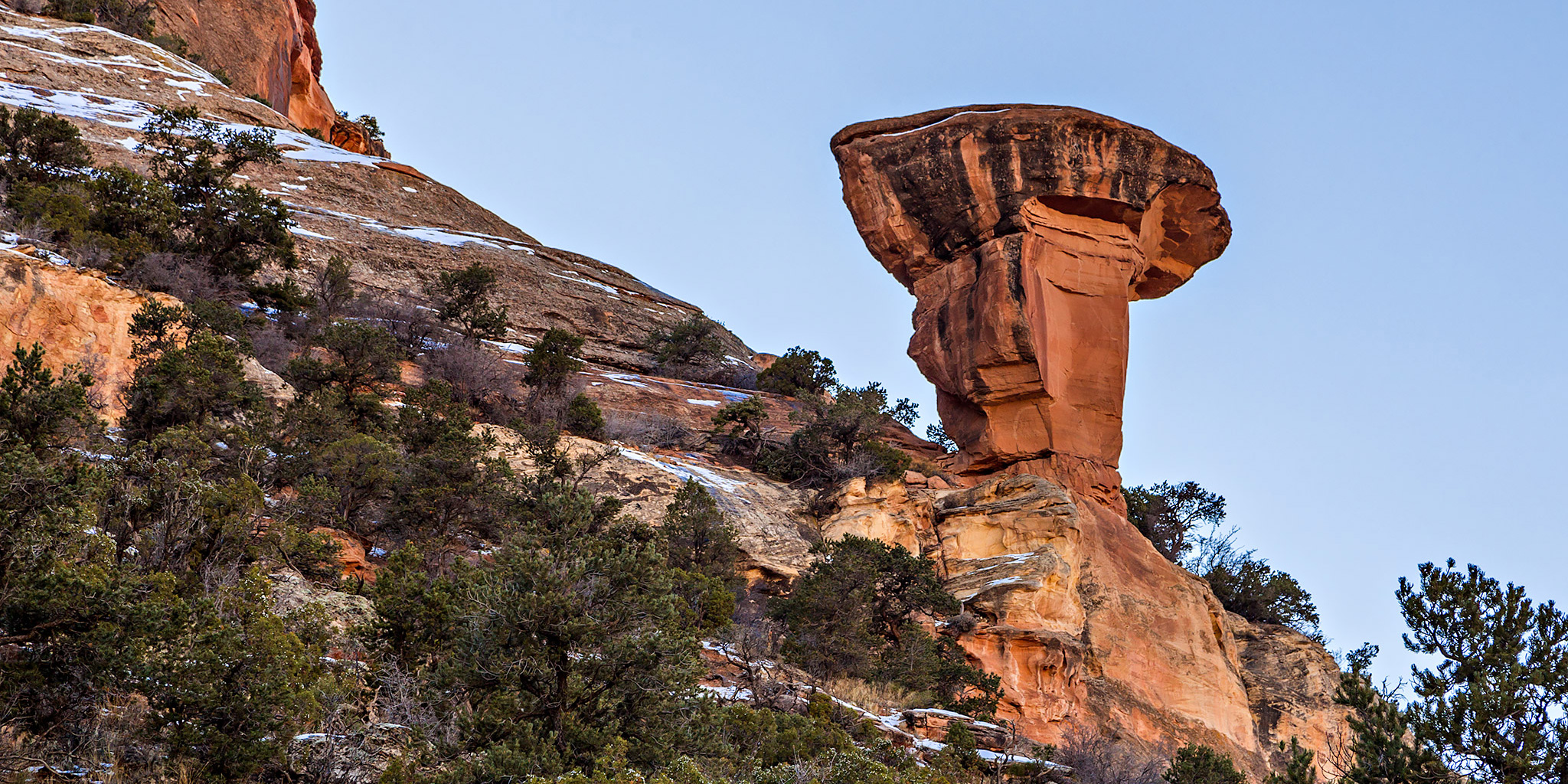
Here’s a mini trip report from a quick hike Diane and I took after work to visit the Cowboy Hat Tower near Fruita in the Devil’s Canyon Area. The temperatures have been pretty warm here lately so we wanted to get in a short local hike before the sun went down. I can’t wait for longer days to arrive so I can get some longer hikes in after work! These are just a few snapshots I took with my little Canon S110 as the sun was going down for the day.

Leave a Comment