Friday, November 3, 2017
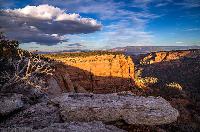
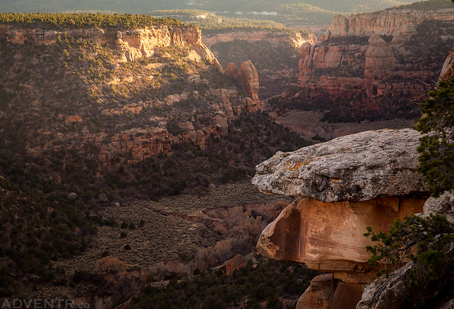
Sunset view from the West Rim of No Thoroughfare Canyon in the Colorado National Monument.
This evening I wanted to squeeze in one more hike after work before the Daylight Savings Time change occurs this weekend and it will start getting dark too early for after-work hikes. I decided to head up to the Colorado National Monument so I could explore the West Rim of No Thoroughfare Canyon. Since I had hiked part of the East Rim last weekend, I wanted to see if a trail that is shown on the National Geographic Trails Illustrated Map of the area actually exists on the West Rim. I’ve looked into this trail before and never seen any mention of it on other maps, so I was curious to finally get on the ground in the area and see what I could find.
Welcome to the Colorado National Monument.
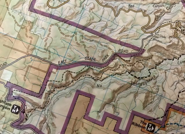
Here is a photo of the Trails Illustrated map (Colorado National Monument & McInnis Canyons NCA #208) that shows the trail sandwiched between No Thoroughfare Canyon and East Glade Park Road that I set out to see if it actually exists.
After leaving the paved road I started out following an old road that seemed to follow the trail shown on the map, but as soon as I reached a wash crossing where it looks like an old bridge had been washed out, it pretty much disappeared after that. I was unable to find even a faint trail in the area, so I followed as close to the rim of the canyon as I could for a few miles. About thirty minutes before sunset I hiked cross-country back over to Ds Road and followed it back to my Jeep. Though there is no real trail like is shown on the map, this is definitely a nice area to explore with good views over No Thoroughfare Canyon to the Grand Mesa. I was even able to look down on the spot I camped at when I did a short overnight backpacking trip through No Thoroughfare Canyon a few years back.
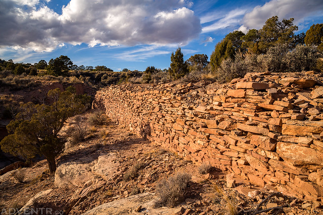
This is part of the old road I was following at the beginning just before it disappeared on the other side of the wash.
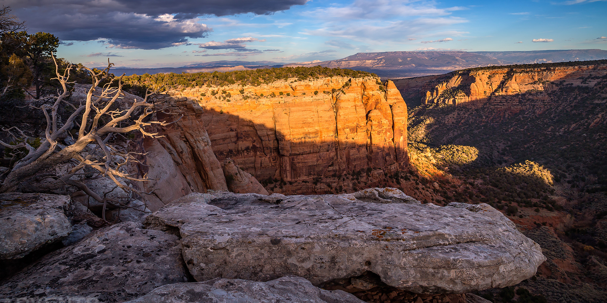
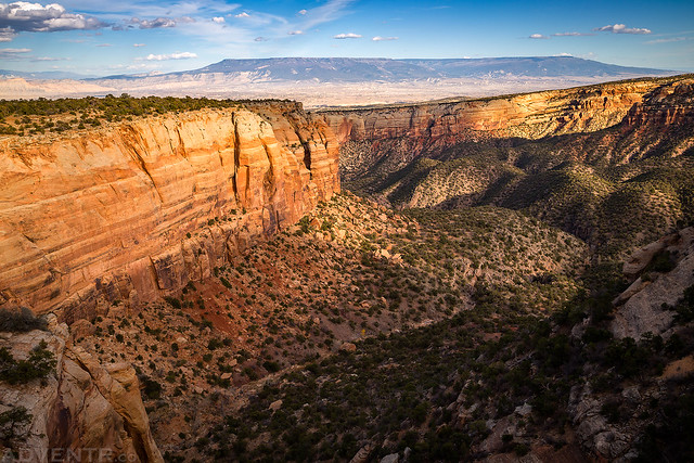
A great view over No Thoroughfare Canyon to the Grand Mesa on the horizon.
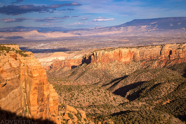
Looking down No Thoroughfare Canyon to the Grand Valley and Mount Garfield with Battlement Mesa and Chalk Mountain in the distance.
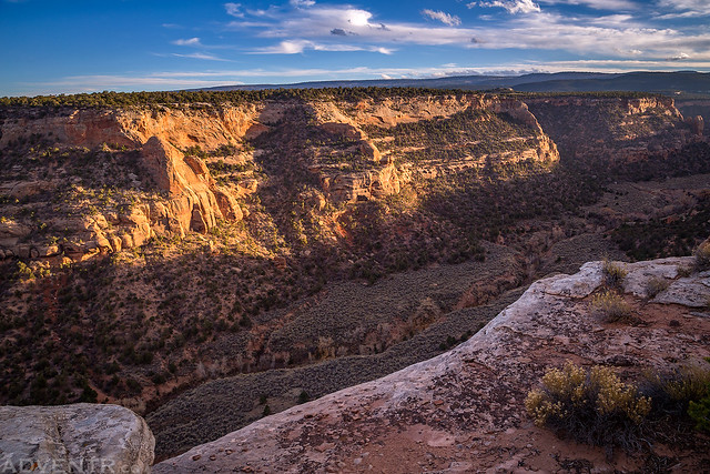
Arroyo cutting is visible down below in upper No Thoroughfare Canyon.
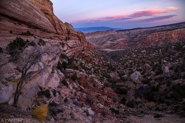
A late evening view up the canyon.
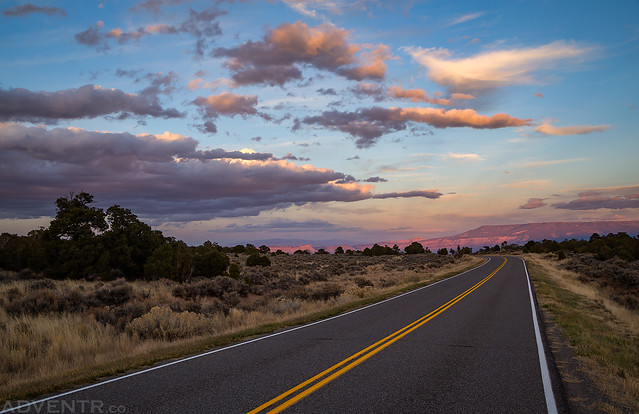
Following Ds Road back to my Jeep at sunset. If you look closely you can see the very top of Mount Garfield and the Grand Mesa lit up with magenta light.
Looking down toward Devils Kitchen from near the tunnel on Rim Rock Drive as I headed back out of the park.
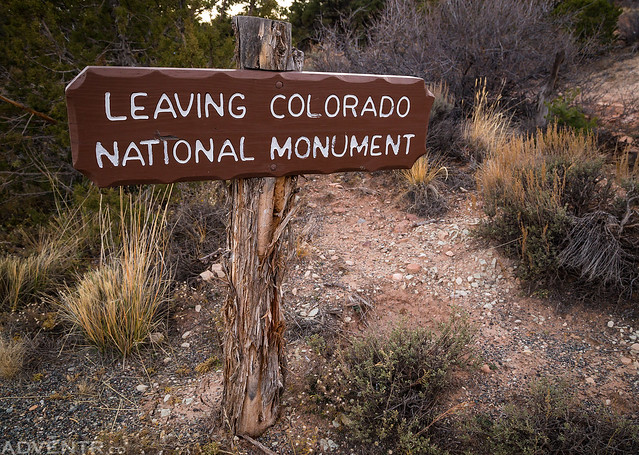
Leaving Colorado National Monument
Thanks for the write up on this and what you found (or didn’t find). I’ve seen that trail on the same map as well and have been wanting to get up there to explore it also. I was planning to start farther down though. On the last corner going up before Cold Shivers point there is a small pull off area and you can see on Google Earth what looks like a trail leading off from it. It looks like it goes pretty far up but becomes hard to make out after a while. I wonder if the old road was the original one John Otto help build?
Thanks Bill. I didn’t have time to explore the whole trail after work, so I’m going to go back again and try some of the other parts, too.