Saturday, January 23, 2016
Late this morning Diane and I headed back to the mouth of Devil’s Canyon just outside of Fruita so I could finish hiking a few of the trail segments that I had not been on before. We ended up making a big loop that was about 6.5 miles in length with a stop at a nice overlook into Devil’s Canyon. While most of the trails were still snow-covered, especially higher and on the north side of the cliffs, there were other sections that had melted off entirely. Early in our hike those sections were frozen, but on our way back to the trailhead we encountered a few muddy areas that had started melting in the sun and the above-freezing temperature.
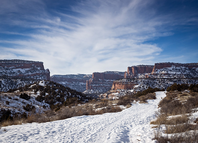
Hiking up the well-used D1 Trail towards the mouth of Devil’s Canyon.
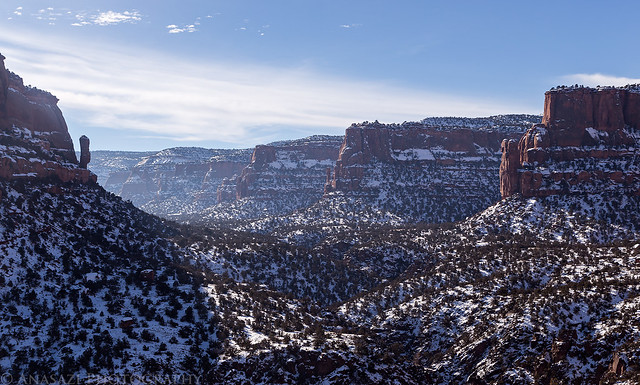
View from a nice overlook into Devil’s Canyon.
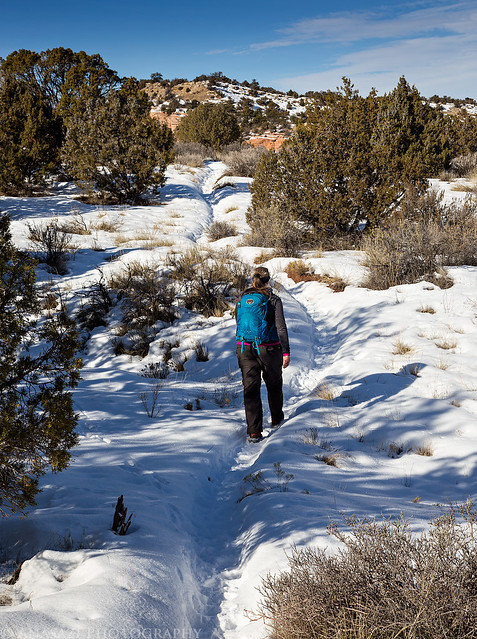
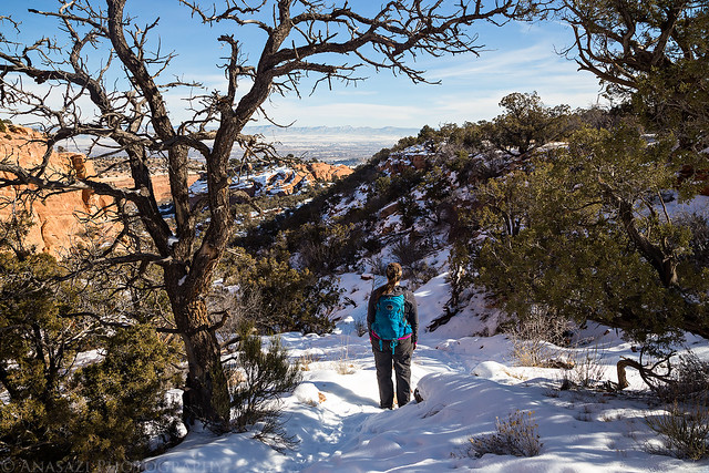
Diane follows the trench in the snow on the bench.
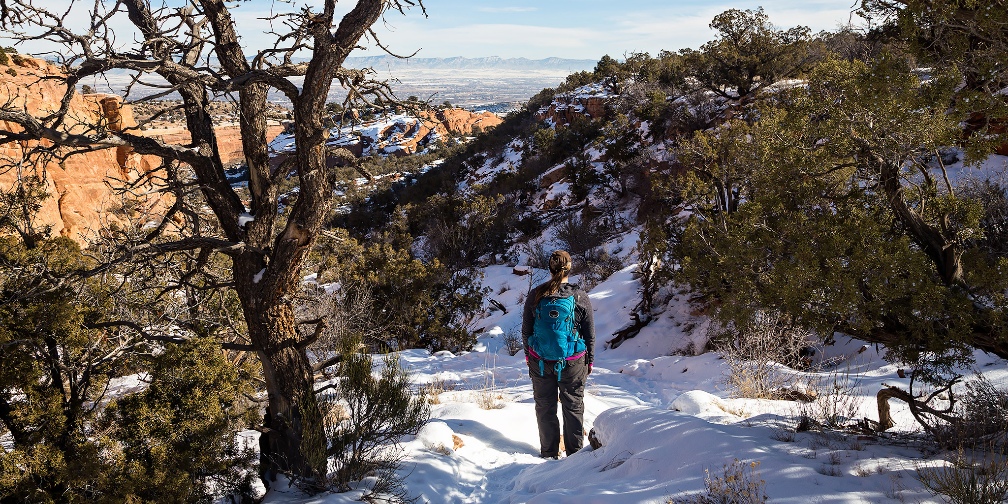
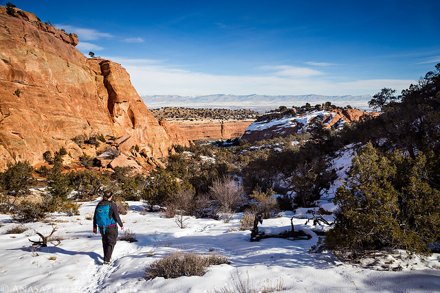
Starting the descent back down into the canyon.
Following the D6 Trail.
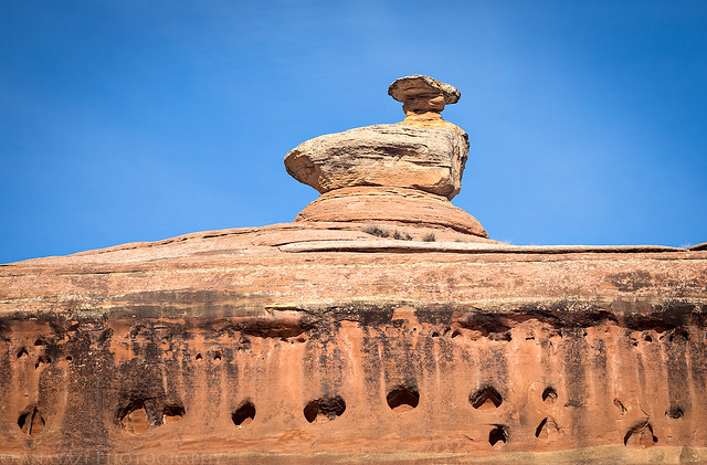
An interesting rock formation above the trail that I thought it looked like a sitting bird.
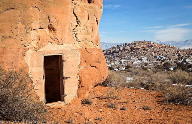
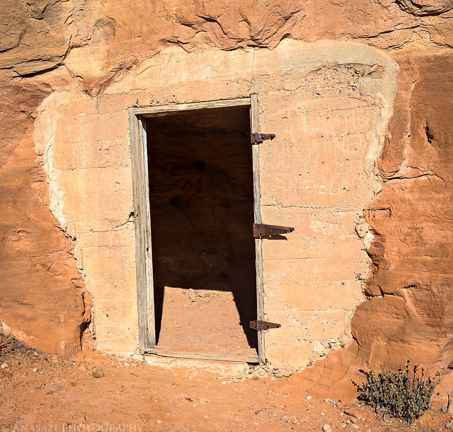
We passed this small doorway that opened up into a small room blasted into the side of the cliff.
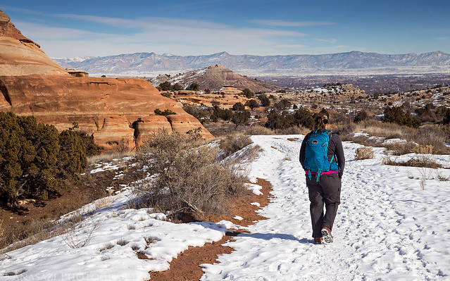
Diane hiking back to the trailhead.
Now that I’ve finally finished hiking all of the front-country trails within the Devil’s Canyon section of the McInnis Canyons National Conservation Area, I have created the map below of them.
Hi Randy,
What kind od hardware & software are you using for GPS trails and tracking? I am looking at GaiaGPS? Expensive! But maybe worth it?
Maybe you can give some tips? I am thru your are from Chicago to Moab in a week or two.
Thanks – Bob
I use a Garmin Oregon GPS and have for about 8 years now. I prefer a standalone GPS device over using my phone.