Saturday & Sunday, July 26-27, 2014
After staying up late on Friday night to catch a concert in Grand Junction, we slept in a little later on Saturday morning before driving down to Ouray to get some hiking in for the weekend. The plan was to hike two trails that have been on my list for a number of years. I have planned to hike both of these trails on previous occasions, but something has always come up and prevented me from doing so. We started out by hiking the Bear Creek Trail just outside of Ouray along the Million Dollar Highway. I did manage to hike a short section of this trail a few years back, but was short on time and didn’t get very far. This time we were planning on hiking to the Grizzly Bear Mine and back since we started later in the morning and knew the afternoon storms would be moving in soon.
The trailhead along the Million Dollar Highway.
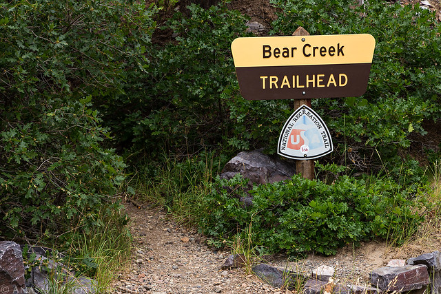
Bear Creek Trailhead by IntrepidXJ, on Flickr
The trail quickly climbs up the side of the mountain on a series of steep switchbacks.
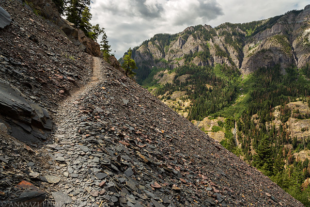
Climb by IntrepidXJ, on Flickr
A view from the trail high above Bear Creek looking back towards the Uncompahgre Gorge.
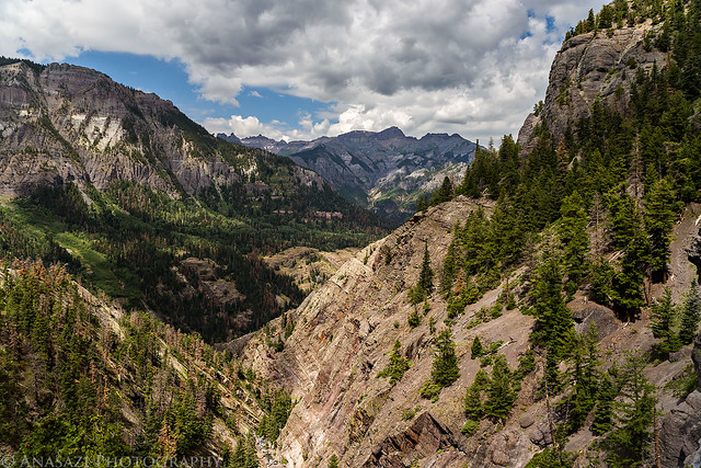
Bear Creek View by IntrepidXJ, on Flickr
The narrow trail on a ledge above Bear Creek.
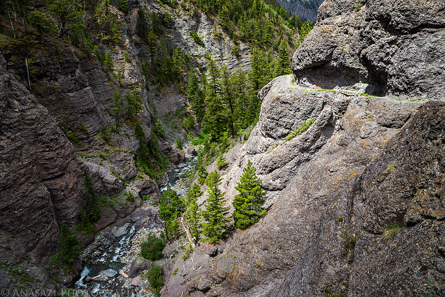
Narrow Trail by IntrepidXJ, on Flickr
Old mining relics left behind at the Grizzly Bear Mine.
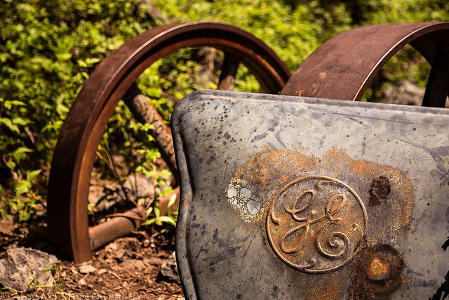
GE by IntrepidXJ, on Flickr
Descending back down the trail with great views over Ouray.
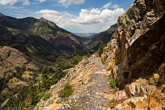
Descending by IntrepidXJ, on Flickr
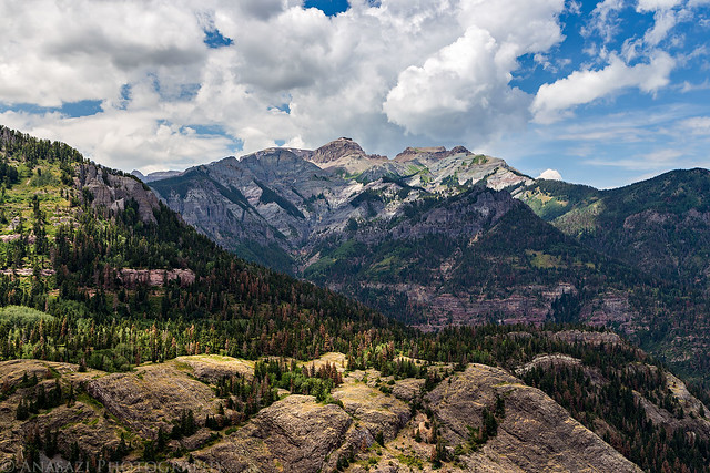
Descending View by IntrepidXJ, on Flickr
After the hike we found a place to camp for the night near Mineral Basin before driving back down to Ouray for an early dinner. We had some delicious burgers from Maggie’s Kitchen and sat on the porch while it rained hard in town. While we were in town we took a short hike up to Lower Cascade Falls in the rain since Diane had not been here before, yet she had already been to the Upper Falls when we hiked there a few weeks ago.
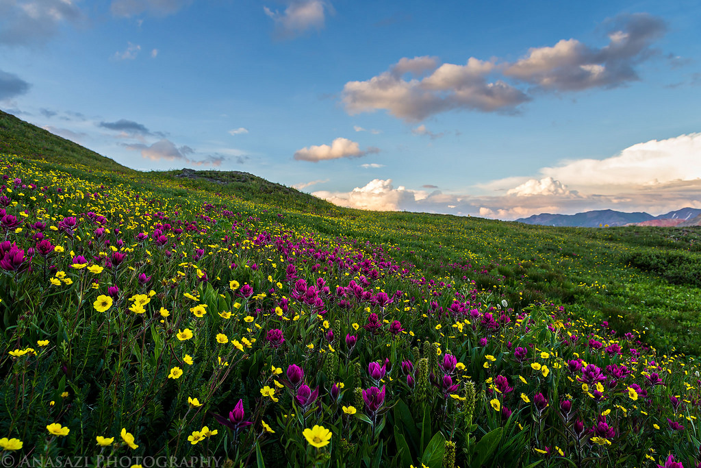
We finished off the evening by heading back near our campsite in Mineral Basin and photographing nearby wildflowers.
There was a nice field of flowers near our campsite.
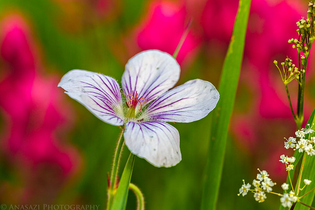
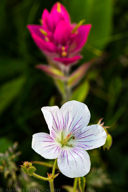
Richardson’s Geranium by IntrepidXJ, on Flickr
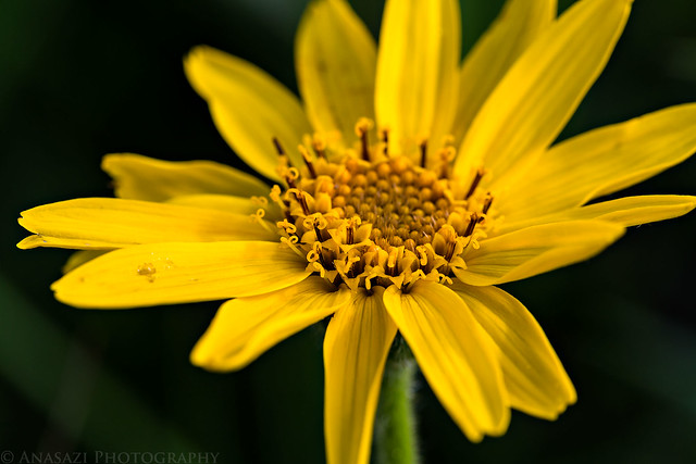
Close by IntrepidXJ, on Flickr
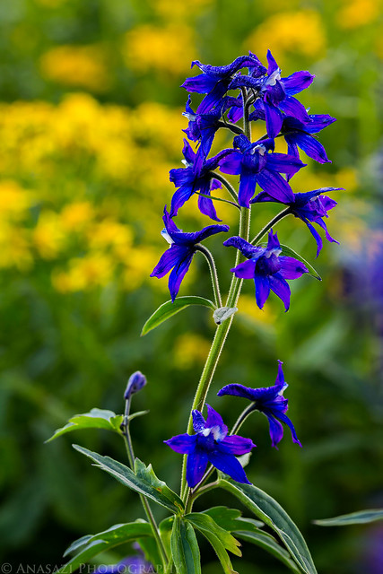
Purple & Yellow by IntrepidXJ, on Flickr
Wildflowers along Mineral Creek.
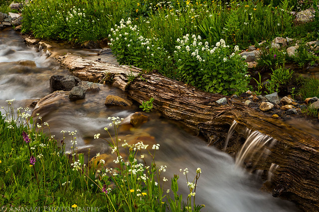
Log in the Creek by IntrepidXJ, on Flickr
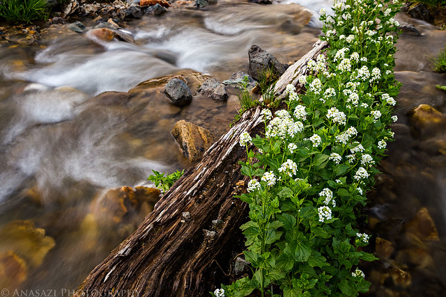
Island by IntrepidXJ, on Flickr
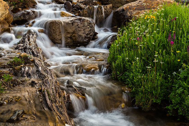
Cascades by IntrepidXJ, on Flickr
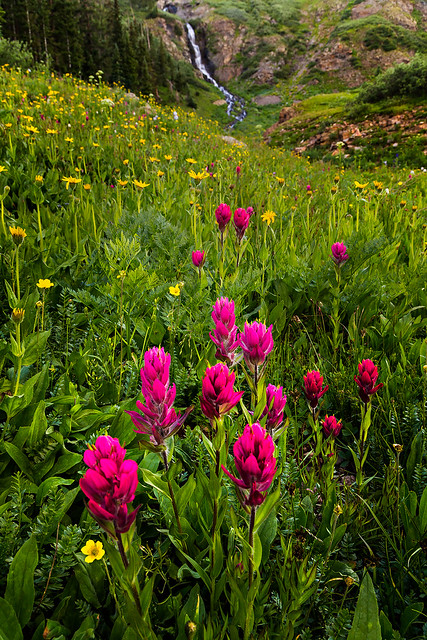
Mineral Creek Wildflowers by IntrepidXJ, on Flickr
While I was taking photos of the flowers along the creek, Diane took my other camera and took a few more photos of her own.
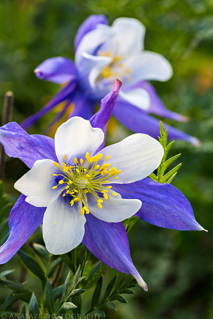
Two Columbines by Diane, on Flickr
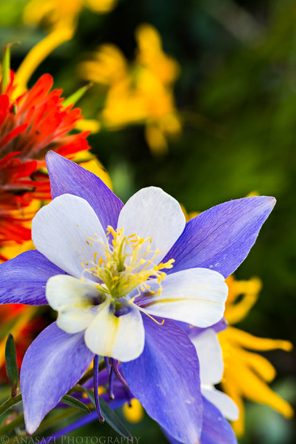
Columbine Colors by Diane, on Flickr
I liked the back-lighting on this sunflower.
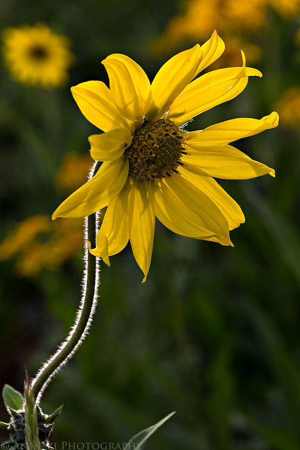
Backlight by IntrepidXJ, on Flickr
As sunset was approaching, we took a quick drive up to Black Bear Pass for another view down into Ingram Basin.
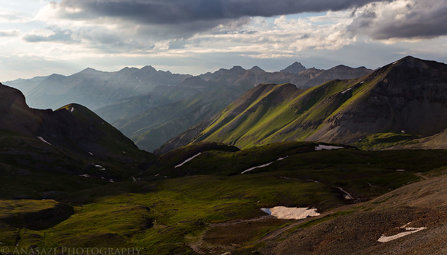
From the Pass by IntrepidXJ, on Flickr
Evening light on Trico Peak, which we had climbed just the weekend before.
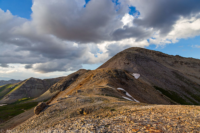
Trico Peak by IntrepidXJ, on Flickr
Nice light on the Red Mountains as we drove back down from the pass.
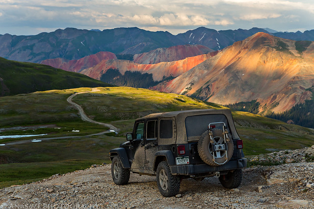
Driving Down by IntrepidXJ, on Flickr
I pulled out my long lens and took a few photos of the distant peaks from this high vantage point.
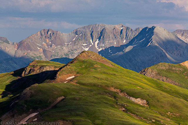
Evening Tundra by IntrepidXJ, on Flickr
The Grenadier Range in the distance.
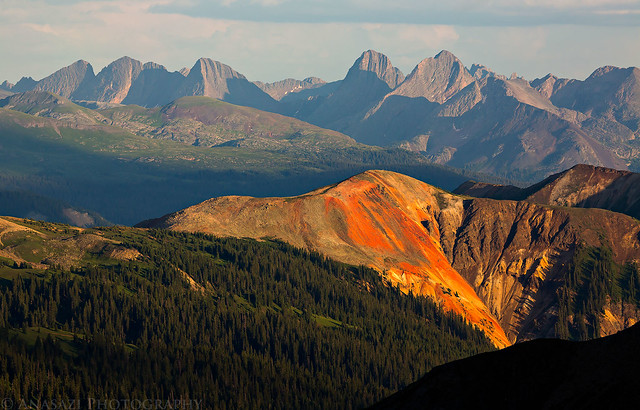
Peaks by IntrepidXJ, on Flickr
Ohio Peak in the foreground.
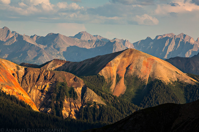
Ohio Peak by IntrepidXJ, on Flickr
Arrow Peak and Vestal Peak just left of center.
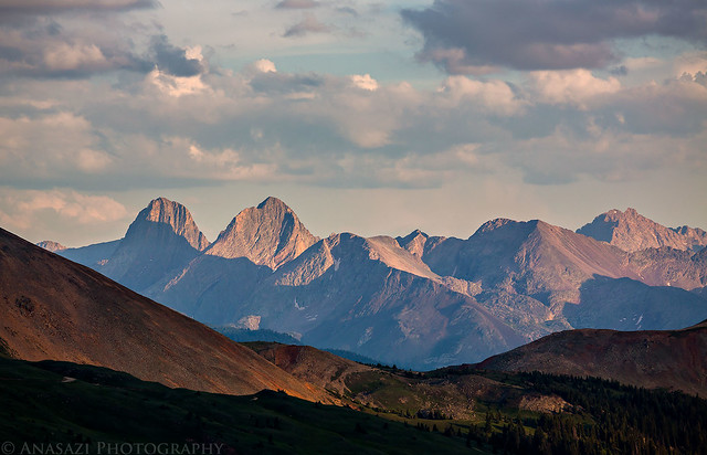
In the Distance by IntrepidXJ, on Flickr
Before heading back to camp for the night we made on last stop at this small unnamed tarn with a nice view over the Red Mountains.
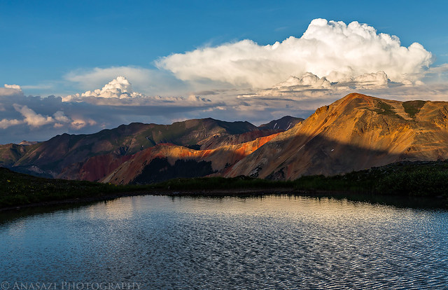
Red Mountain Sunset by IntrepidXJ, on Flickr
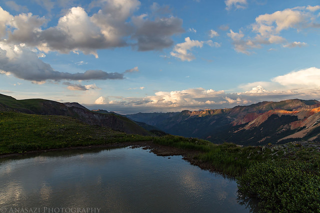
Tarn on the Edge by IntrepidXJ, on Flickr
There was a nice field of flowers right next to it, too.
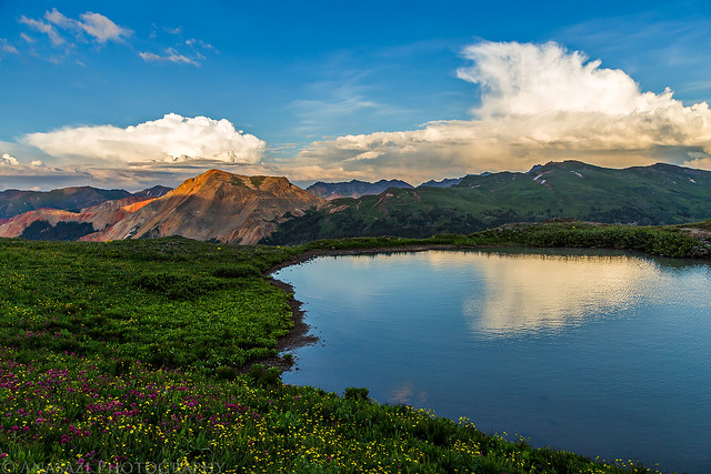
High Tarn by IntrepidXJ, on Flickr
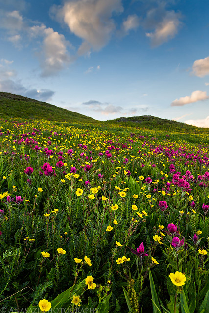
Field of Flowers by IntrepidXJ, on Flickr
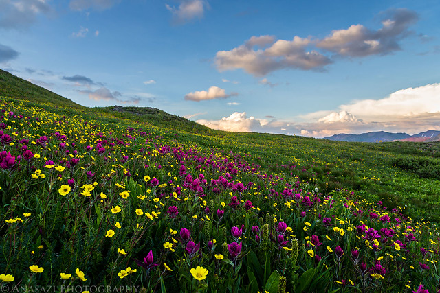
Flowerful Sunset by IntrepidXJ, on Flickr
We made it back to camp shortly before dark and were quickly asleep in our warm sleeping bags.
On Sunday morning we were up early and had our tent taken down before the sun had even come up. There was a beautiful sunrise this morning, and I managed to stop for a few quick photos before driving back down to Ouray.
Sunrise over Mineral Creek.
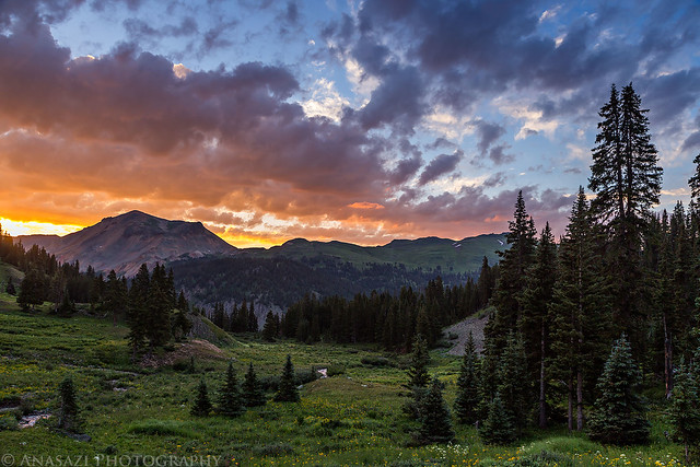
Sunday Sunrise by IntrepidXJ, on Flickr
The peak above catching the early morning light.
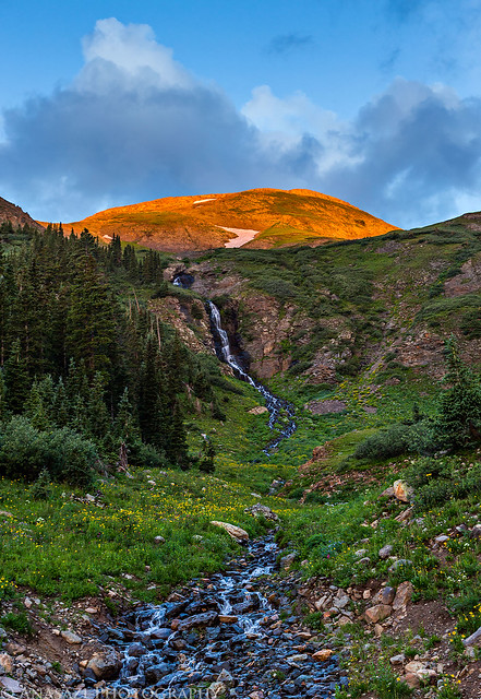
Morning Light by IntrepidXJ, on Flickr
Beautiful views in all directions.
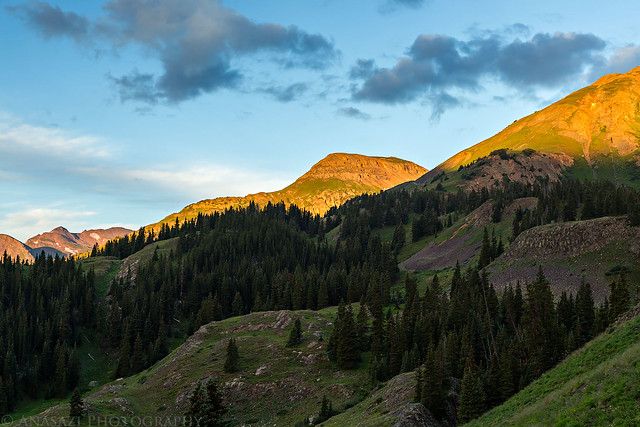
Good Morning by IntrepidXJ, on Flickr
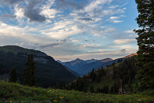
Morning Clouds by IntrepidXJ, on Flickr
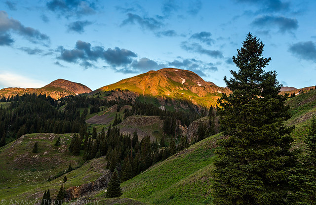
Mineral Basin Sunrise by IntrepidXJ, on Flickr
From Ouray, we took the Dexter Creek Road up to the Wedge Mine so we could begin our hike on the Horsethief Trail which would take us up to the Bridge of Heaven. I was actually planning on hiking this trail by myself on the 4th of July weekend, but my plans were changed when I came down with a bad cold and was stuck at home. The trail started out on some easy switchbacks through the trees until it met up with the Old Horsethief Trail on the ridge above town. From this point on the scenery was better without the trees obstructing our views, but the trail also became steeper, too.
Start of the trail near the Wedge Mine through a large grove of aspen trees. This might be a nice hike in the fall.
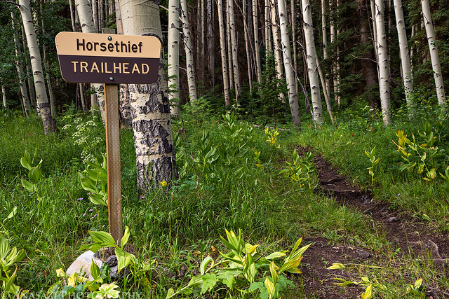
Horsethief Trailhead by IntrepidXJ, on Flickr
Distant view of Red Mountain #1 and Brown Mountain when we broke free of the trees.
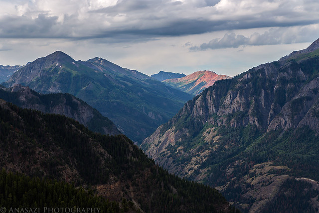
Brown & Red Mountains by IntrepidXJ, on Flickr
Ouray below (hidden by the trees), with the Sneffels Range across the way.
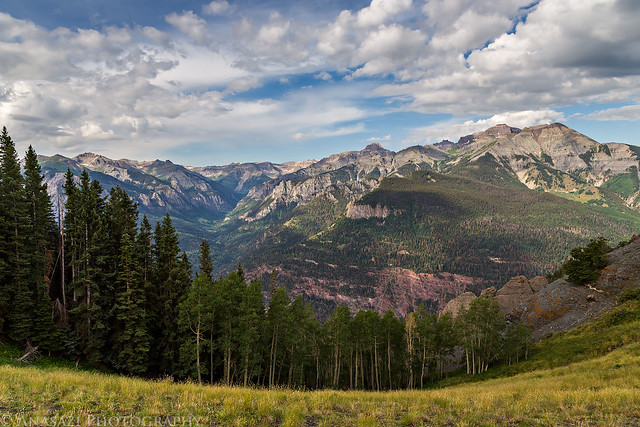
Horsethief Trail View by IntrepidXJ, on Flickr
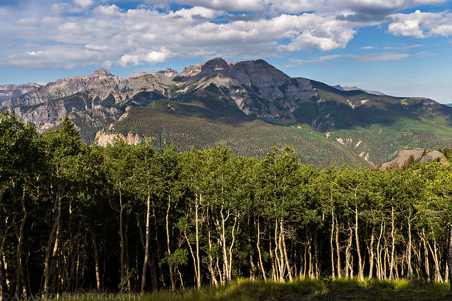
Over Aspen by IntrepidXJ, on Flickr
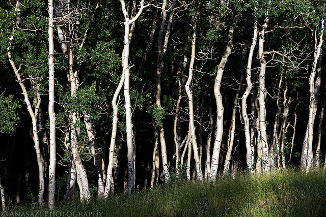
Crooked Aspen by IntrepidXJ, on Flickr
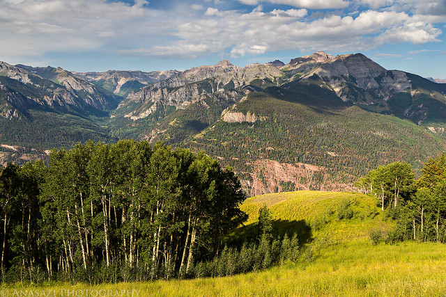
Above Ouray by IntrepidXJ, on Flickr
There are a lot of diagonal lines in this scene.
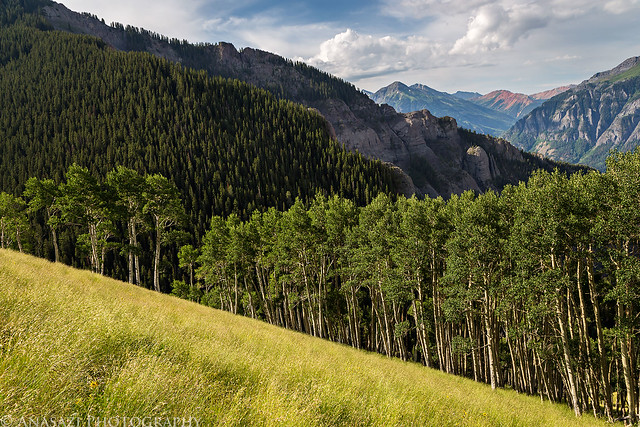
Diagonals by IntrepidXJ, on Flickr
One of the upper switchbacks shortly before reaching the top.
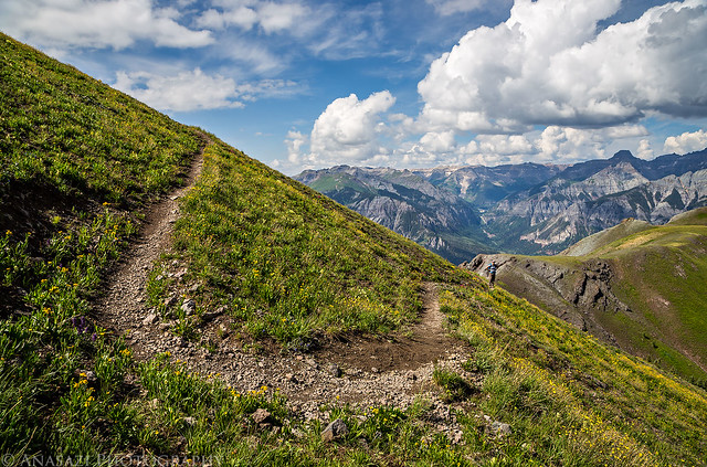
Switchback by IntrepidXJ, on Flickr
Finally at the Bridge of Heaven, where the trail briefly reaches this high ridge and offers great views of the Cimmarron Range. The trail was about 4 miles long to reach this point and it climbed around 3,000 feet. You can see Courthouse Mountain (12,152 feet) just below the sign to the left.
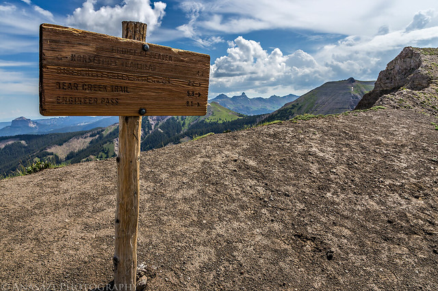
Bridge of Heaven by IntrepidXJ, on Flickr
After making it to the Bridge of Heaven, we walked over to an adjacent peak before starting back down the way we came. On the way back, I took a short side trip over to the top of Cascade Mountain since it was so close while Diane waited for me.
Looking down on Cascade Mountain below us and across to the Sneffels Range.
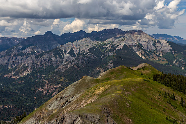
Cascade Mountain Below by IntrepidXJ, on Flickr
I hiked over to the high peak in the middle in the shadow in this photo.
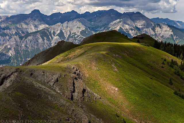
Cascade Light by IntrepidXJ, on Flickr
As I was returning to the trail to meet back up with Diane, we heard the first clap of thunder of the afternoon. Some storms had built up over the Sneffels Range and appeared to be moving our way. We ended up moving pretty quickly to get back down below tree line, even jogging at some points. The sound of thunder was getting closer and knew we needed to get down off the ridge and into the trees quickly. Needless to say, we made great time getting back down the trail!
I did take a few quick photos along the trail and we quickly made our way back down.
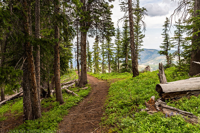
Horsethief Trail by IntrepidXJ, on Flickr
Light strikes the ridge the trail follows as the storm gets closer.
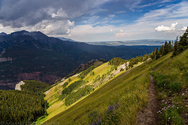
Trail Light by IntrepidXJ, on Flickr
Rain over Ouray and moving our way.
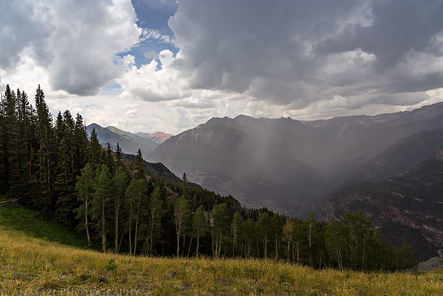
Here Comes the Rain by IntrepidXJ, on Flickr
It drizzled on us a little bit, but nothing that got us very wet. It’s a good thing we had got an early start! We made it back to the Jeep without any issues and then started our drive back home. It was another great weekend of hiking in the San Juan Mountains!
I stumbled across your site while searching for places to explore and possibly camp near Ouray, Colorado. We are not experienced hikers like you and are definitely not used to the altitude. We are looking for any recommendations on places to camp from or near the car and take easy hikes. Any suggestions?