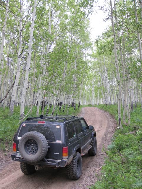
Saturday, June 13, 2009
Another 12 hour day in the books. This time with Amanda. I figured that since I have now driven the Kokopelli and the Tabeguache, I would just finish off the Grand Loop and find a 4×4 route of the Paradox Trail.
We got an early start this morning and headed towards Gateway, CO where I topped off my tank before heading up John Brown Canyon and the Gateway-Castleton Road to the start of the Paradox Trail. I won’t get into the details of the trail in this post, but I will say that the first half of the trail (50ish miles) went very smoothly. However, the second half of the trail did not, as I ran into some washed out sections of trail that I could not drive and then had to backtrack quite a ways. I am going to have to try to find some different routes for the second half of the trail in the future.
Here’s some photos from the day.
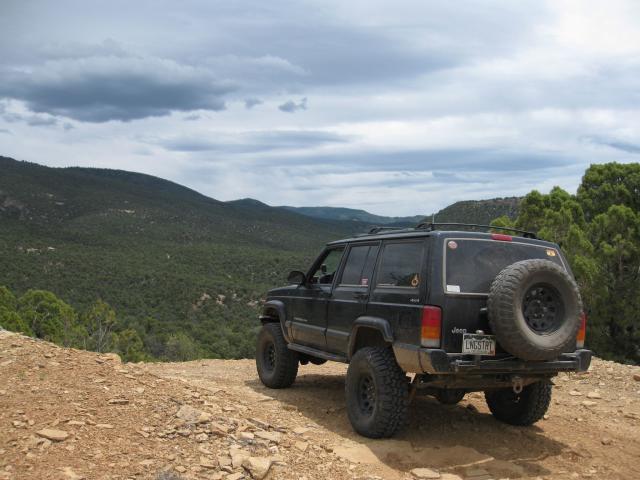
The start
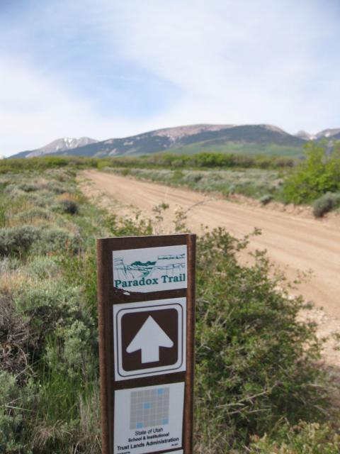
Taylor Flat
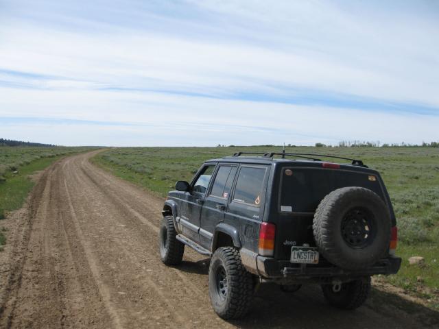
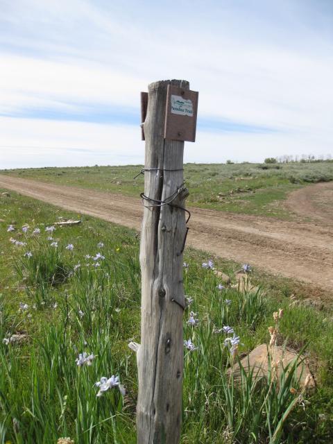
Keep an eye out for the trail markers
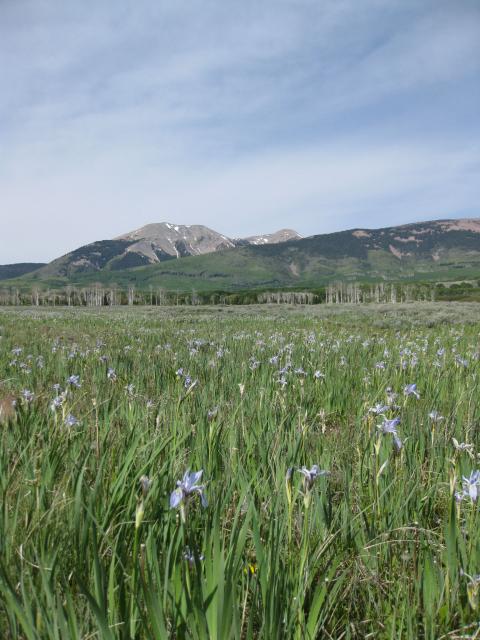
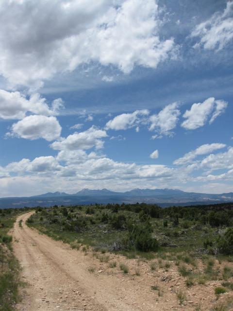
La Sals
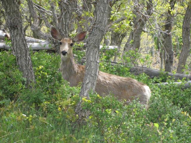
The wildlife was abundant near the La Sals
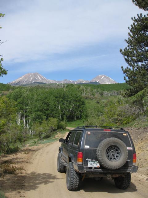
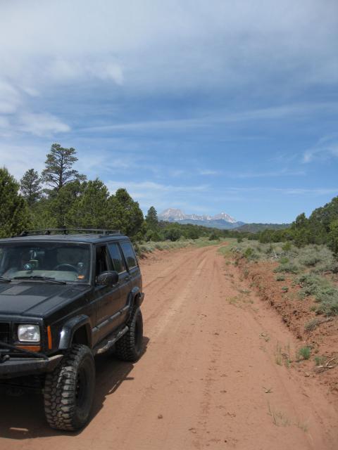
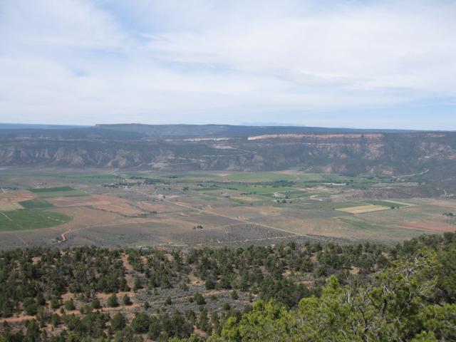
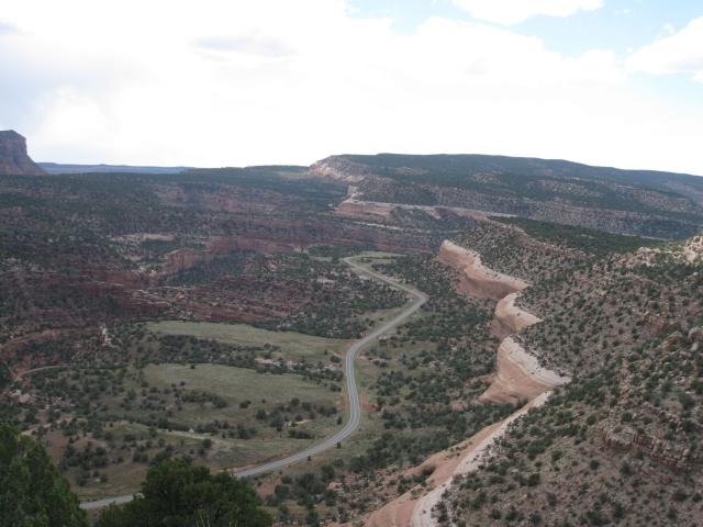
View down into Paradox Valley from Carpenter Ridge
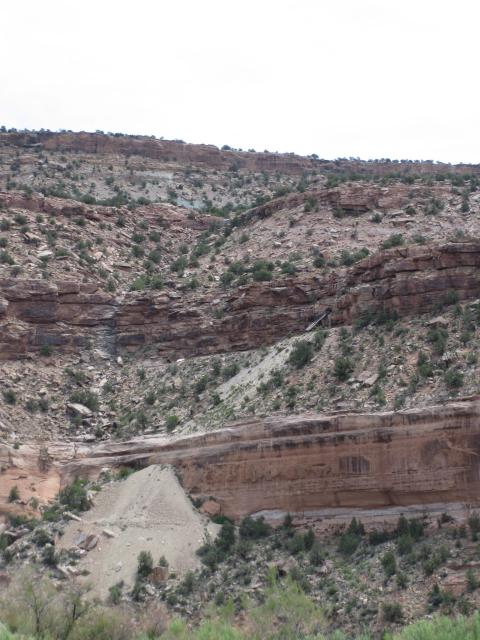
Drove past a lot of active and abandoned mines
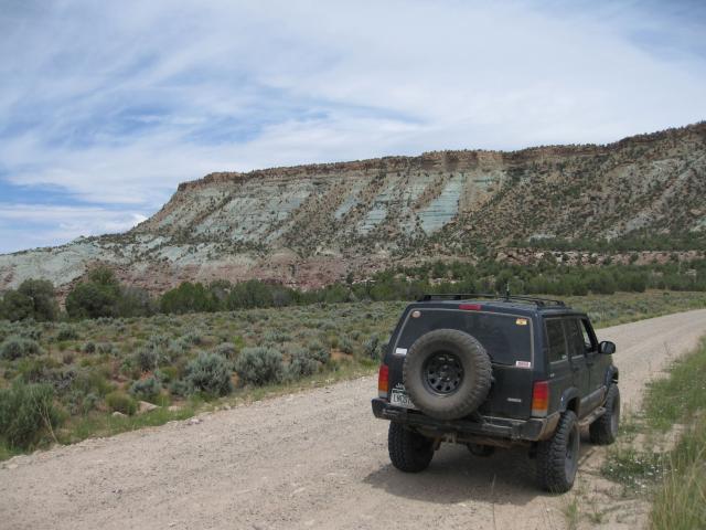
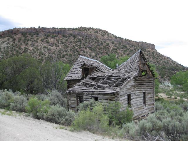
Back on the Uncompahgre
