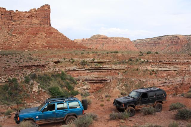
Sunday, May 24, 2009
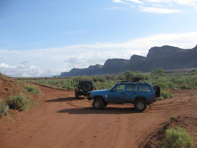
On Sunday we woke up early again and headed South along Comb Ridge until we reached Snow Flat Road, which would take us up onto Cedar Mesa.
Crossing Comb Wash
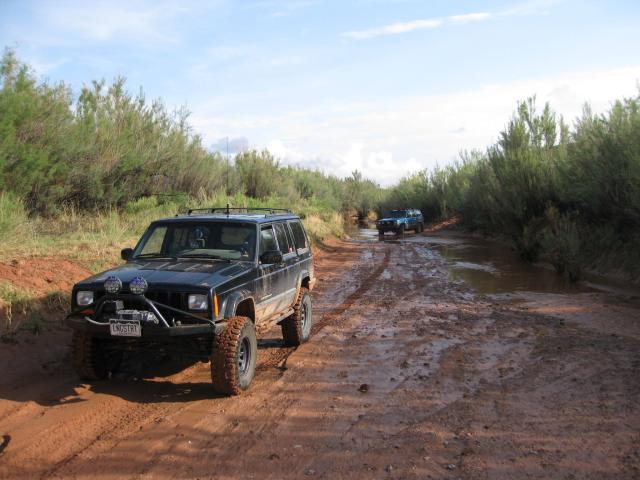
At Snow Flat Road getting our hiking permits with Comb Ridge in the background
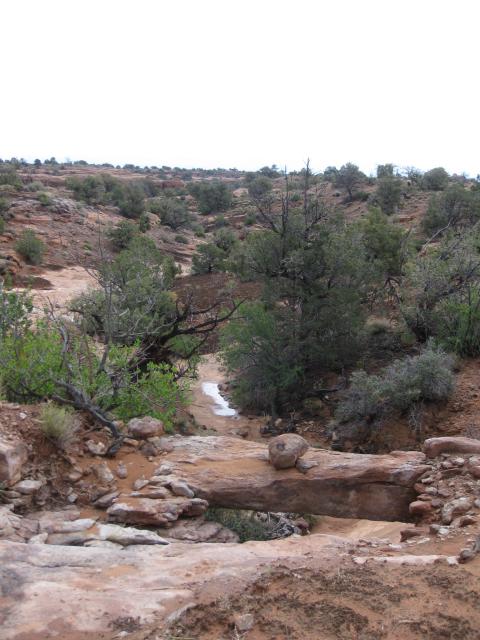
On our way we passed a small natural bridge next to the road that I had to stop and get a photo of
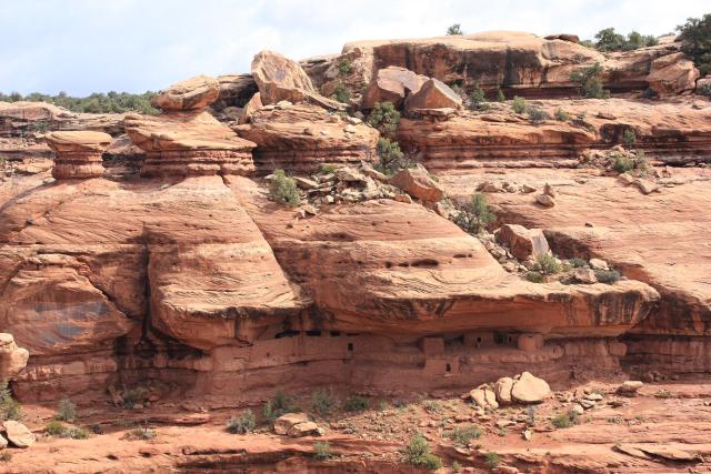
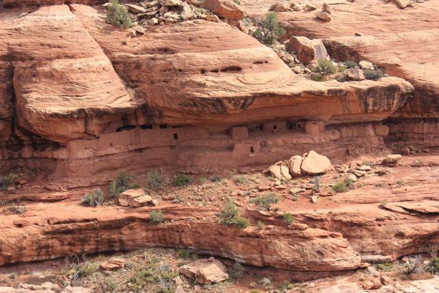
Our first destination for today was to try and get to the Moon House Ruins. This was supposed to be an easy hike with some minor scrambling, however when we got there, we found the climb down into the canyon was more technical that we were prepared for, so we had to settle on viewing the ruins from the other side of the canyon on this trip…
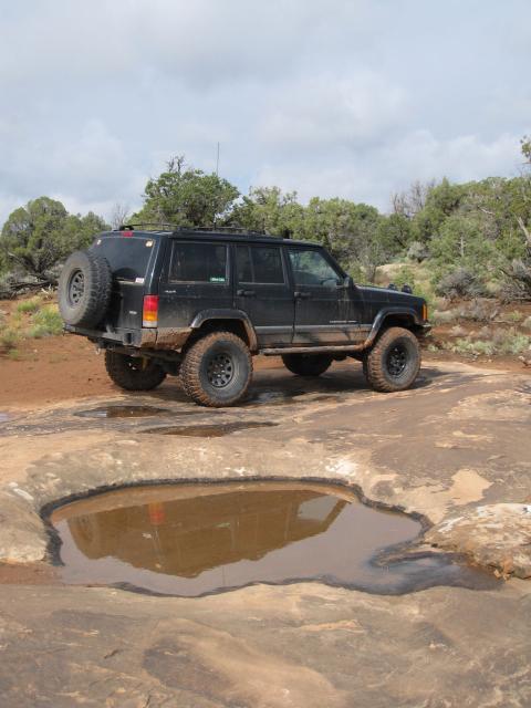
Reflection at the Moon House Ruins trailhead
Moon House Ruins in McCloyd Canyon
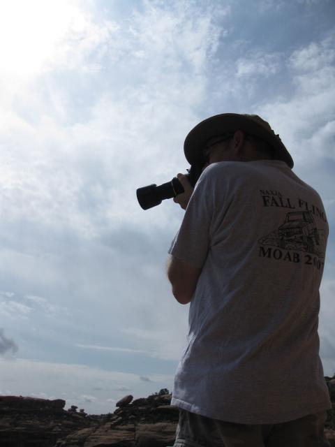
Jared taking a photo of the ruins
After making it back to Snow Flat Road we continued on to the highway and headed for our next destination….Johns Canyon Overlook. On the way to the overlook we found another small cliff dwelling under a pour-over. The alcove above this ruin had collapsed at some point, and a large rock was sitting on top of the dwelling. I was surprised that the whole thing had not completely collapsed.
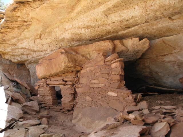
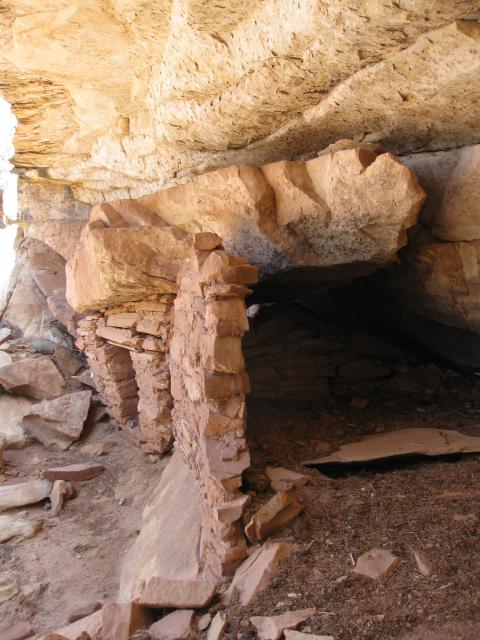
There were some pictographs on the alcove wall
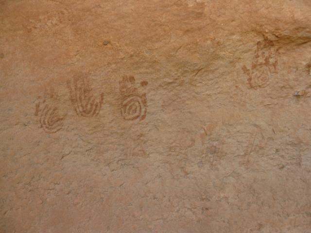
After exploring the ruin for a little bit we continued on to Johns Canyon Overlook
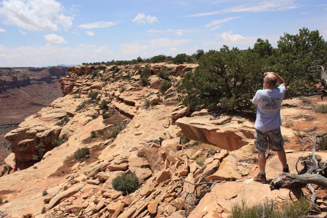
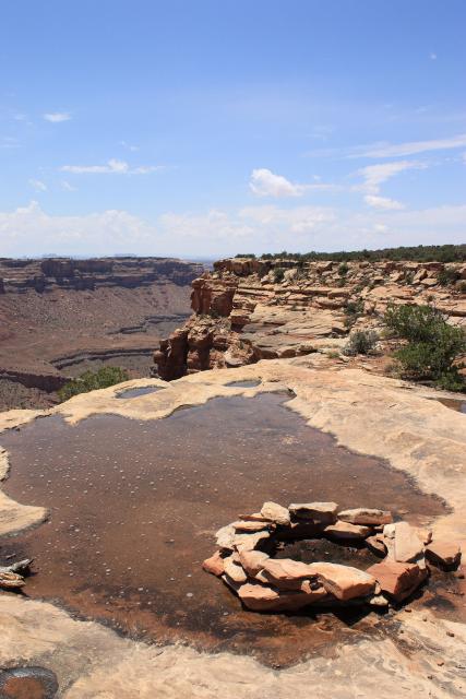
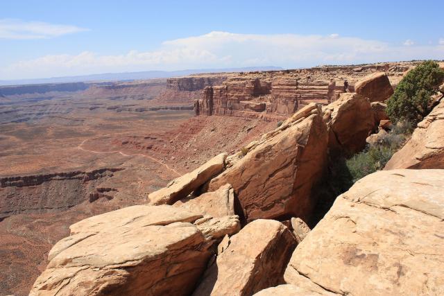
After having some lunch at the overlook, we headed over to Muley Point before going down the Moki Dugway
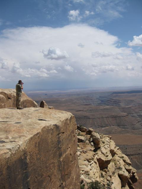
Johns Canyon Trail below….we’ll be driving it later
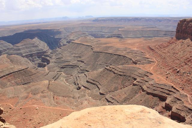
You can barely see Monument Valley in the distance
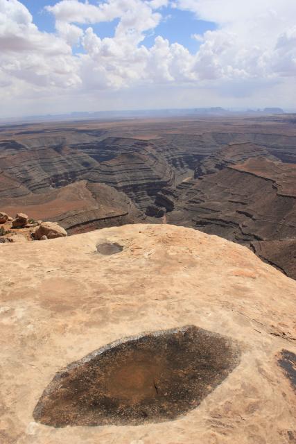
A photo Amanda snapped on the point
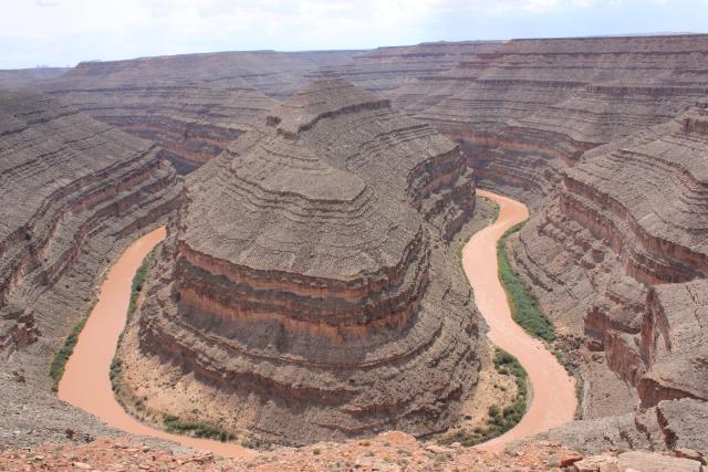
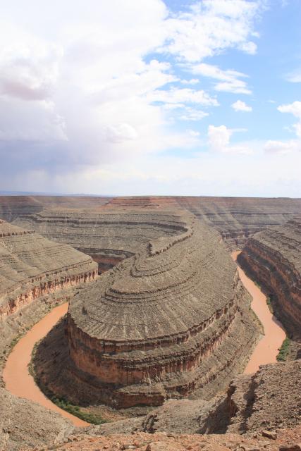
Before heading into Johns Canyon we made a quick stop at Goosenecks State park
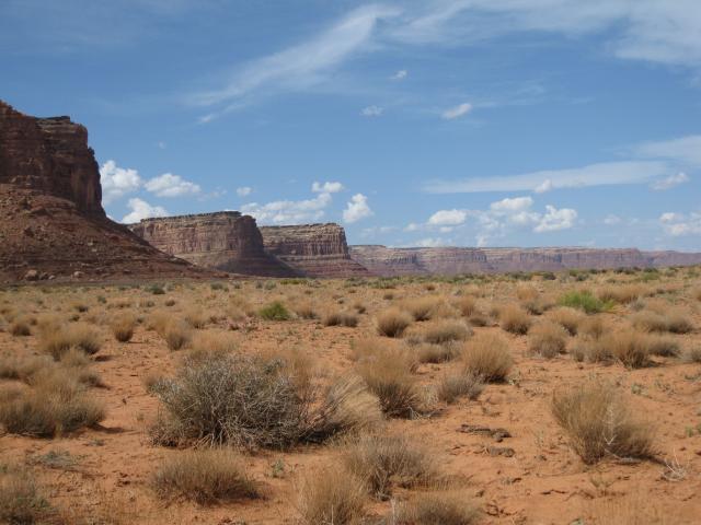
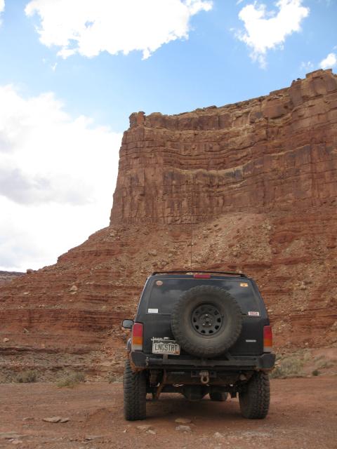
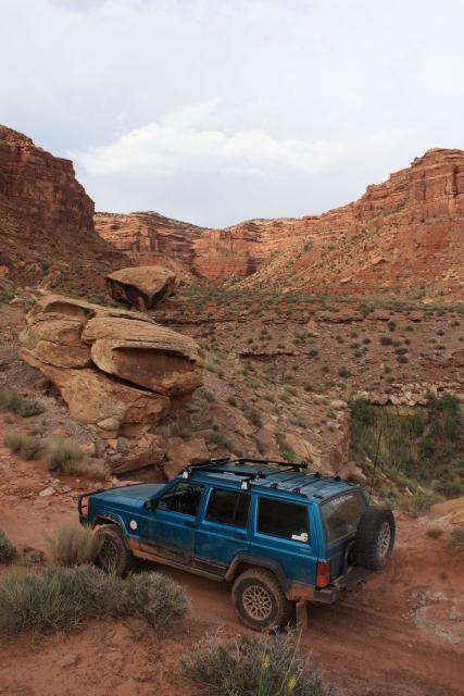
Headed towards Johns Canyon
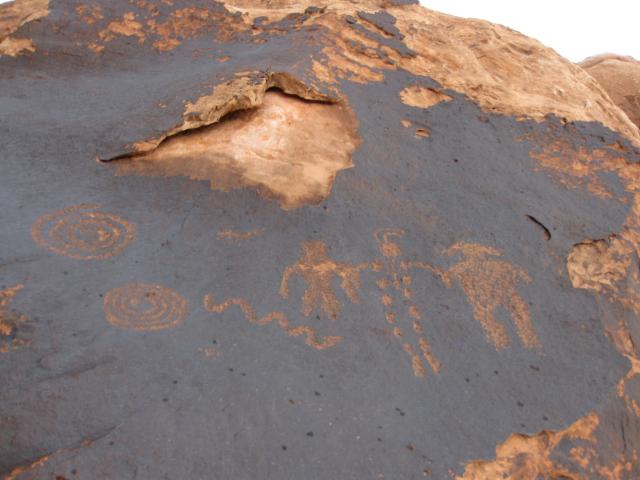
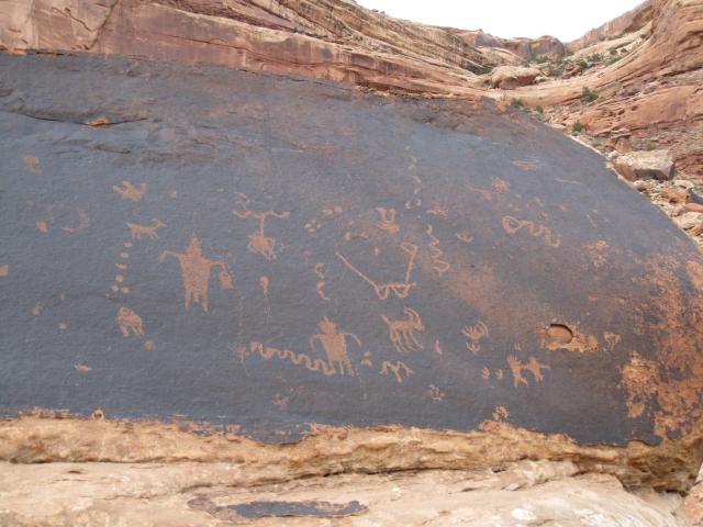
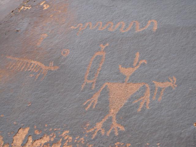
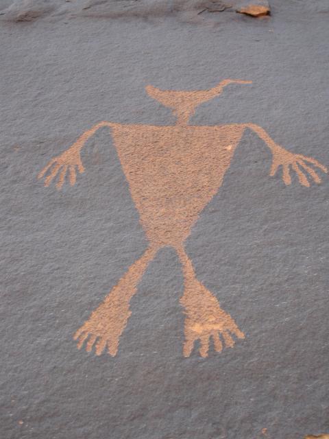
The first set of petroglyphs we came across
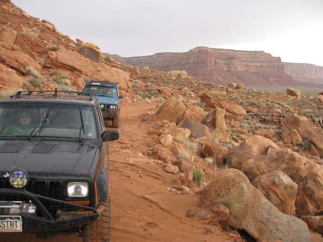
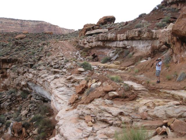
There were many recent washouts along this trail from the recent rains (we were the first sets of new tracks since then), but most of them were minor and easily navigable. However, once we reached a narrow section under a slide area, the trail was washed out too much to safely continue, so we turned around. It was only about a mile or so from where the trail would have dead-ended at a wilderness area anyways.
Jared standing near one of the washed out sections
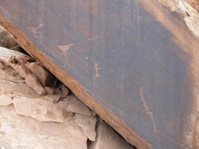
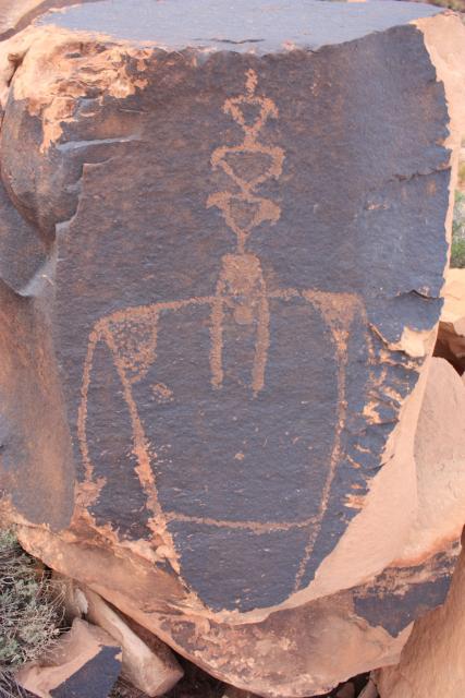
On our way back out of Johns Canyon we found a few more petroglyphs
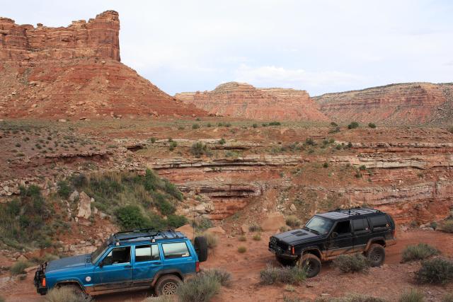
After spending over twelve hours hiking and behind the wheel of the Jeep we headed into Mexican Hat for some dinner at the Swinging Steak. It was another great day of exploring!
