IntrepidXpedition 2007 | Day 4
Sunday, July 22, 2007
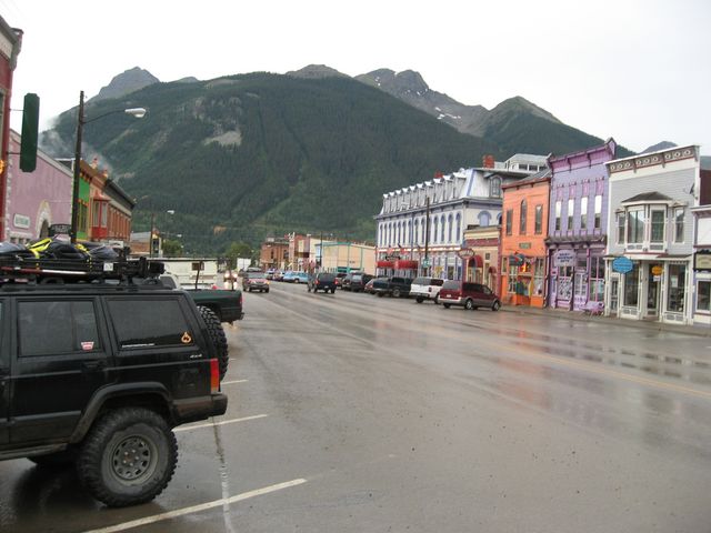
The following morning I started out with a quick drive on US 50 from Monarch, CO to reach the start of Old Monarch Pass. My final destination at the end of the day will be Silverton, CO and I will be getting there by barely touching any paved roads all day.
Old Monarch Pass was the original pass for travelers between the towns of Gunnison and Poncha Springs. When State Highway 50 was built, the pass became “Old” Monarch Pass. A dirt road on each side leads to the pass. This day was another early morning for me, and the sun was still coming up.
Sun rising at Old Monarch Pass
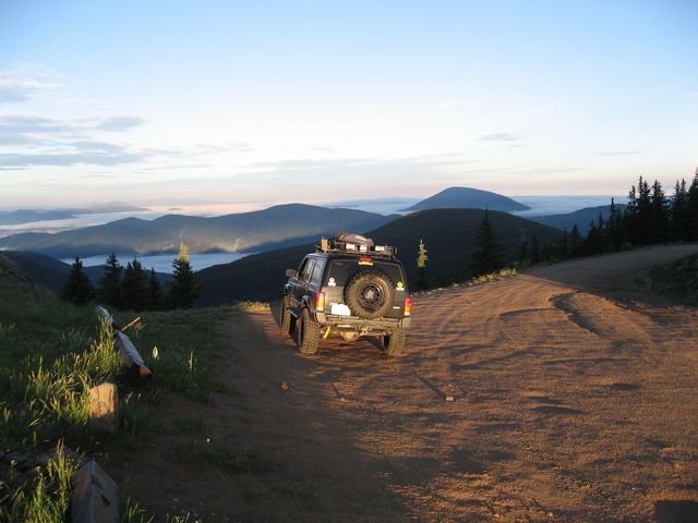
Old Monarch Pass was an easy and fairly short drive, though there were a lot of switchbacks. Once over the pass, I turned onto Black Sage Pass. When silver was discovered near Pitkin, this route provided a lower yet longer entryway into the area. By 1880, a stagecoach and many freight wagons were using this road daily. It was turning out to be another wet and cloudy morning.
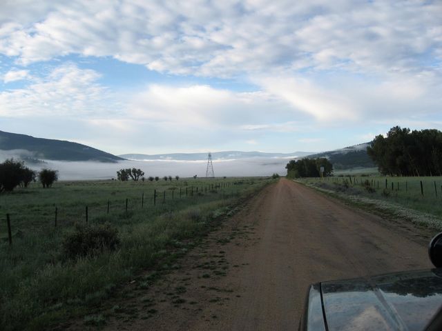
Parked at Black Sage Pass at an elevation of 9,745 feet.
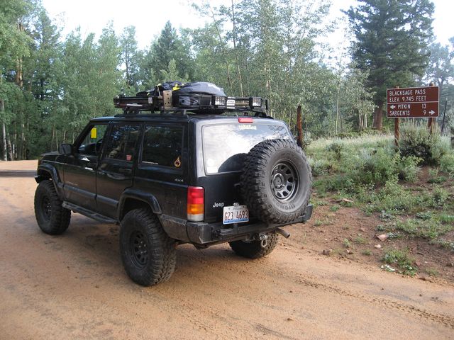
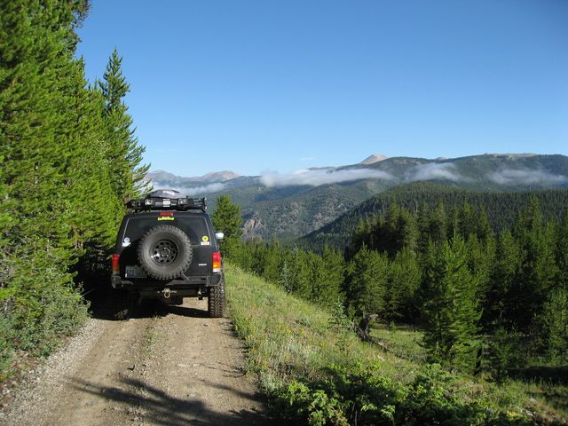
From Black Sage Pass I was able to hook up with the Middle Quartz Creek trail. This trail turned out to be a tricky one to follow, as there was active logging going on in the area and a number of new side roads in the area got a little bit confusing. After a few wrong turns, I did finally end up in Pitkin.
Narrow section on Middle Quartz Creek
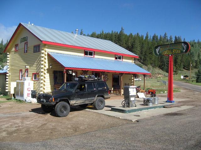
Once I made it to the small town of Pitkin, I had to stop for gas at the Silver Plume General Store. It certainly wasn’t cheap, but I wouldn’t be seeing another gas station until I got closer to Lake City….so I topped off.
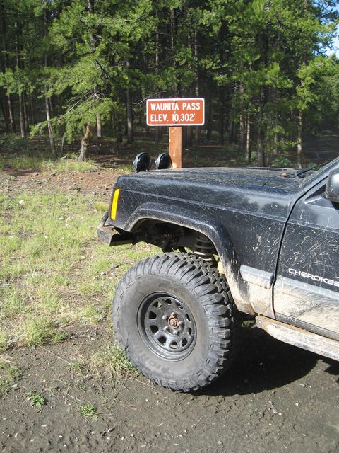
Leaving Pitkin, I headed up Waunita Pass. This route was used by stage coaches and freight operations in the late 1870’s between Salida and Pitkin.
On the way to Silverton
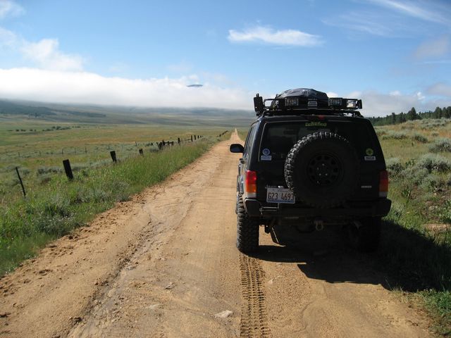
After leaving Pitkin and heading over Waunita Pass, my goal for the day was to make it to Silverton barely touching any pavement on my way there. I started out by making my way over to Los Pinos Pass from Doyleville. Los Pinos is Spanish for “the pine trees” and was a well used Ute Indian trail. This route was also used by the Hayden survey party on their way to examine the Cebolla Creek area.
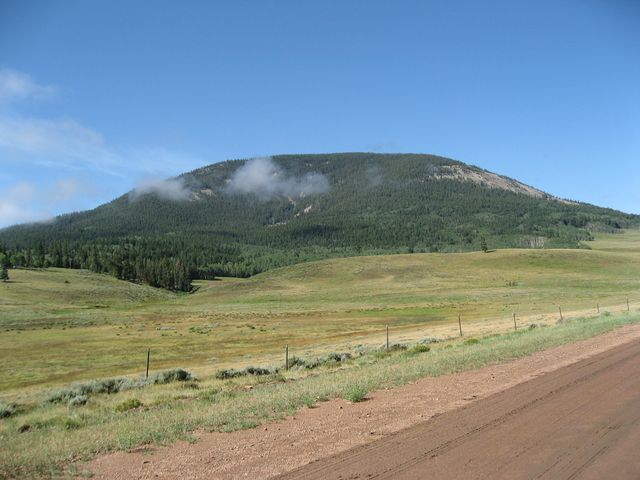
On the way there, I passed Tomichi Dome with it’s elevation of 11,465 feet.
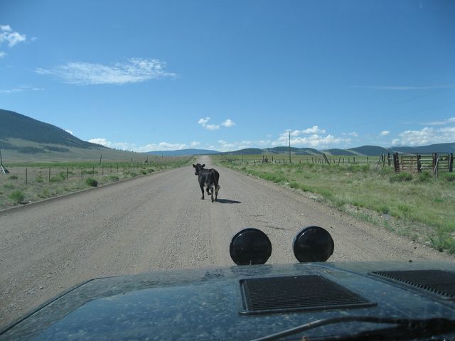
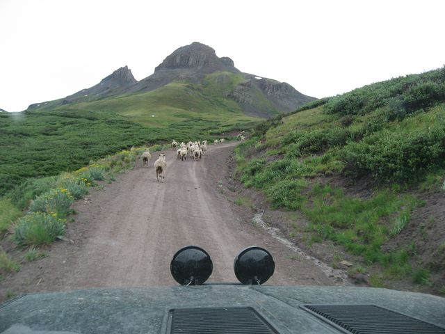
Then I ran into a little traffic 😀
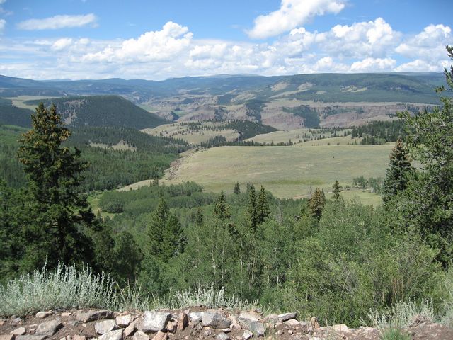
View near Los Pinos Pass
After reaching Lake City, I gassed up and headed to Box Canyon and the head waters for the Rio Grande.
Parked next to the Rio Grande Reservoir
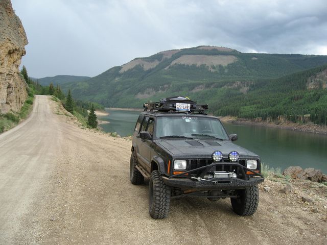
Shortly after passing the reservoir, it started to rain, but that did not put a damper on my day. I took a quick detour so that I could ford the Rio Grande.

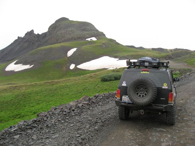
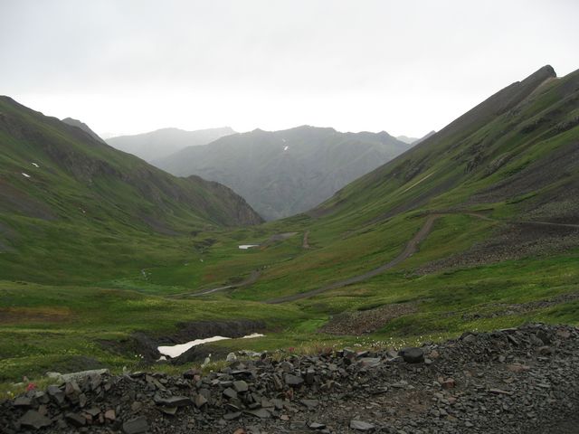
After the detour, I was back on track to head over Stony Pass. The Stony Pass crossing was used for centuries by the Utes and then the Spanish. It was discovered by Charles Baker in 1860 who led a group of prospectors to the area. This route was heavily used by stagecoaches in the 1870s. This trail offers some spectacular scenery.
I ran into even more traffic as I neared the pass.
Still a bit of snow up near the pass, and while it was still cloudy, the rain has stopped.
Looking down into the hazy Stony Gulch from the pass
Making it down the pass, I headed up Cunningham Gulch to the Animas Forks Road and made my way to Silverton.
Downtown Silverton….raining again
