A Long Overdue Return to The Flat Tops
Friday – Sunday, June 22-24, 2018
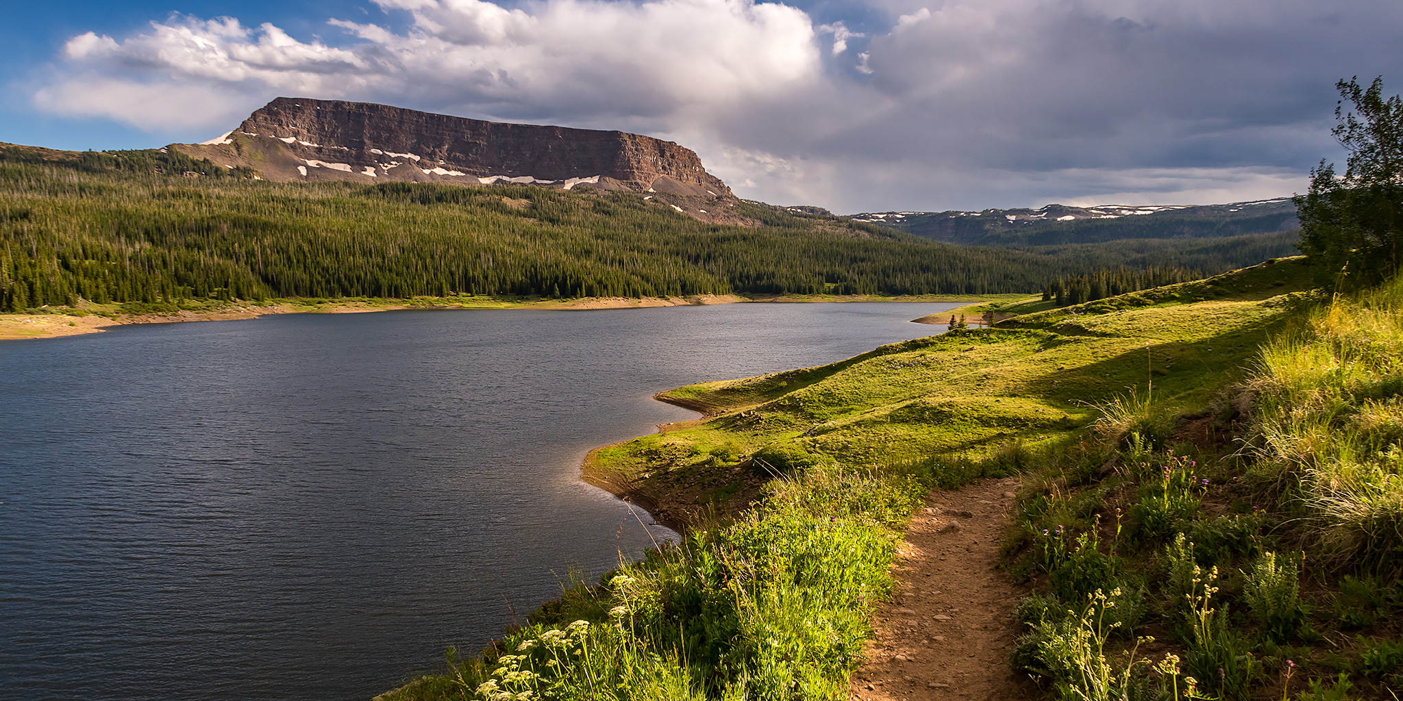
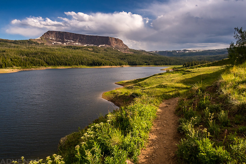
Earlier this year while planning our Memorial Day weekend trip to Dinosaur National Monument, I was scrolling around a map online and it took off on me in the wrong direction and stopped near a mountain called Sleepy Cat Peak (10,853) in the Flat Tops of Colorado. I had never heard of this peak before, but with a name like that I knew we would have to climb it this summer! After looking online for a little bit more information about the peak I found out that it’s actually the 52nd most prominent peak in Colorado with 2,348 feet of prominence. Since this peak is not very high by Colorado standards, we figured it would make a good easy mountain to climb at the beginning of our season this summer to help us start getting back into shape again. Plus, it’s been at least eight years since the last time I visited the Flat Tops, so I’ve been long overdue for a return visit to this area.
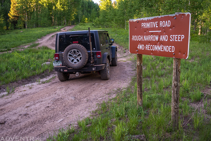
We left after work on Friday afternoon and headed northeast to Meeker where we stopped for gas and then followed the White River on the Flat Tops Scenic Byway to the Big Beaver Reservoir. Just past the reservoir we turned north onto a few rougher Forest Service roads until we were close to Sleepy Cat Peak. The roads actually started out pretty good, but they got progressively rougher with mud and large boulders as we got closer to the peak. We found a spot to pitch our tent in the trees near the trailhead and went right to bed. It was supposed to be pretty nice out this night so we left the rainfly off the tent. Although the sky was clear all night, it was pretty windy up in the tops of the trees, but the wind wasn’t really hitting our tent too much. Still, the noise from the wind above was enough to keep me from sleeping very well this night.
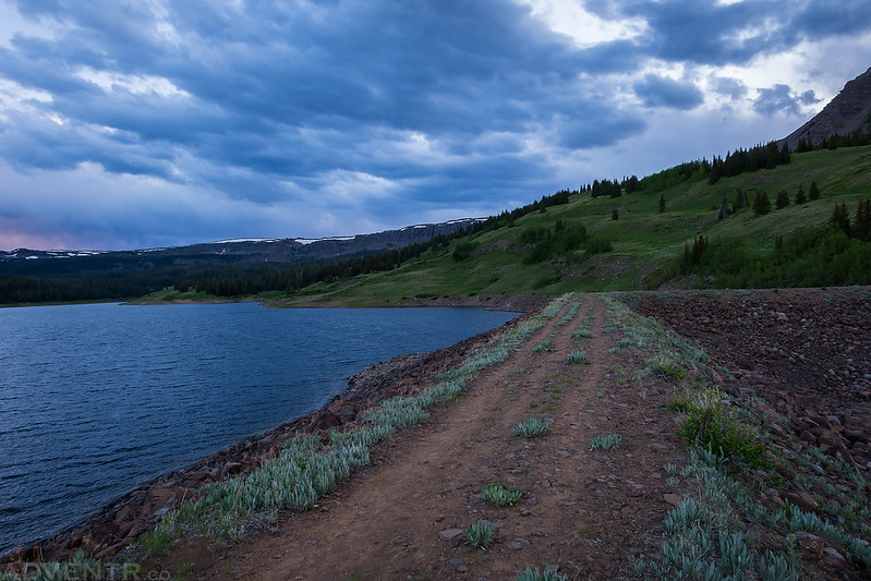
Primitive Road: Rough, Narrow and Steep
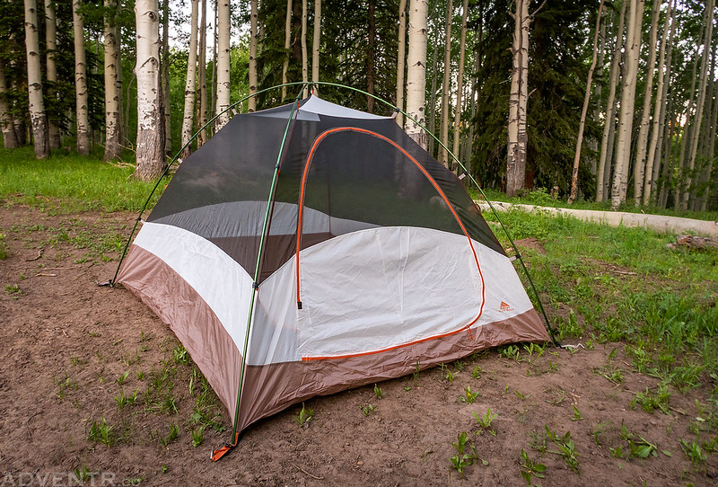
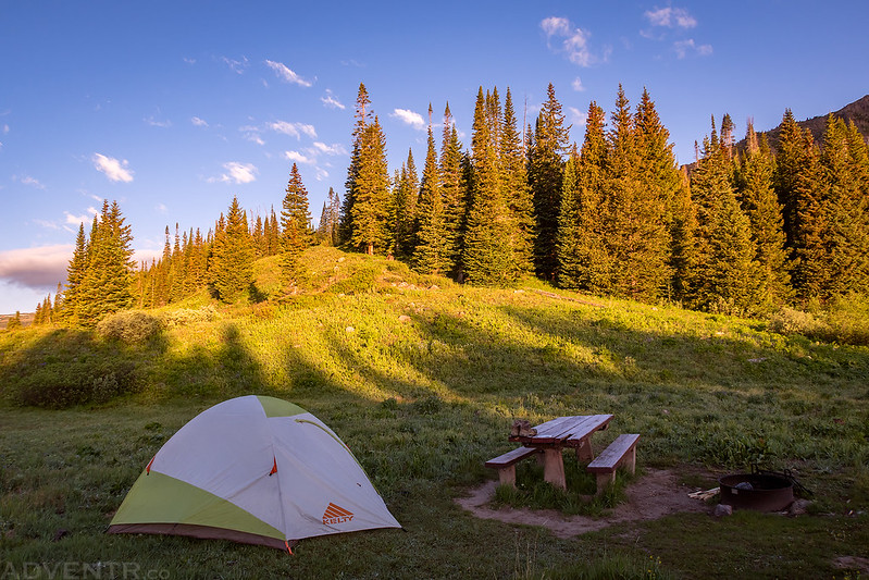
Just a quick photo of our campsite for the night. Unfortunately, our trip to Dinosaur National Monument back in May would be the last time we would use our Big Agnes Jupiter’s Cabin tent since the zipper on the door broke again and a pole was bent by the wind. It’s too bad because we really liked that tent and I haven’t been able to find anything like it to replace it yet, so in the mean time we will be using my old Kelty Grand Mesa 4.
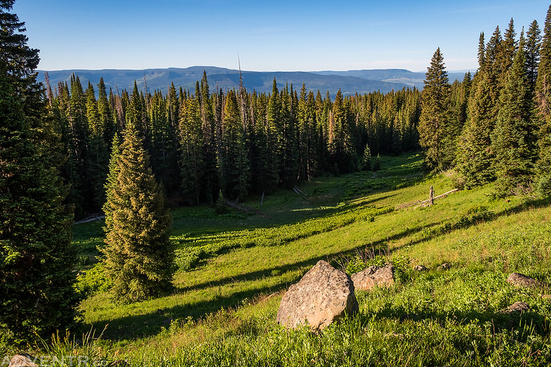
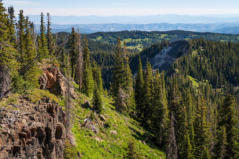
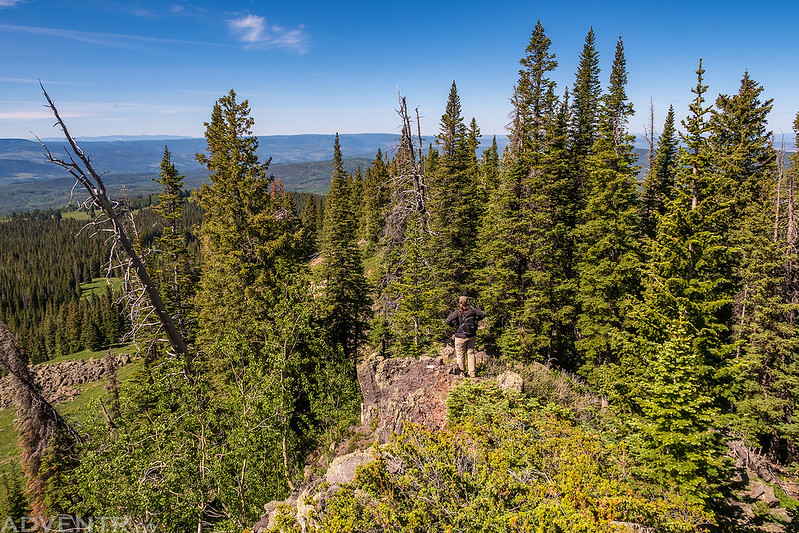
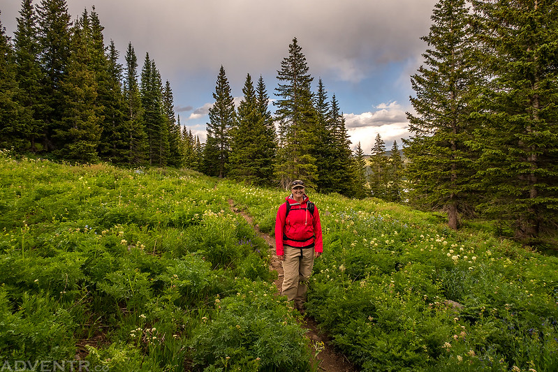
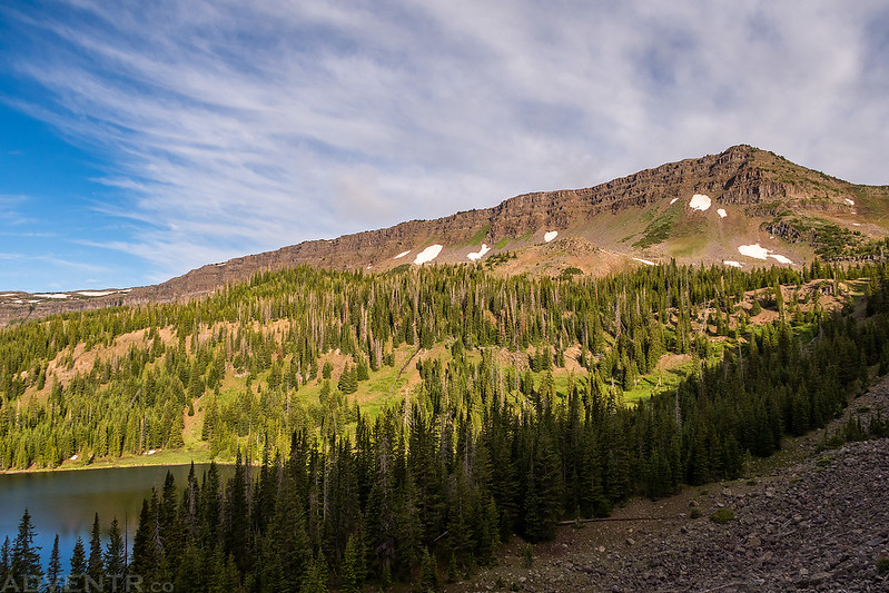
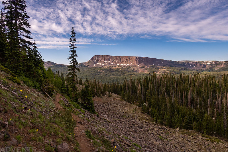
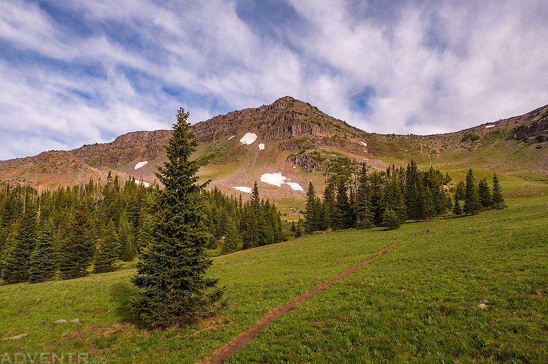
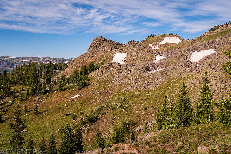
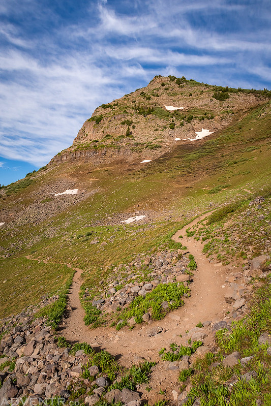
We woke up on Saturday morning after the sunrise, took down our tent and then started hiking to the summit of Sleepy Cat Peak. Since the monsoon season hasn’t started yet we weren’t too worried about getting an early start, especially since this would be a pretty short hike and not get above treeline. First we followed the rough four-wheel drive road that we were camped along and then we hiked along an old ATV track that went partway up the ridge toward the peak. Once that track ended we had to bushwhack our way through a lot of deadfall along the crest of the ridge. It looked like there may have been an old trail along the ridge at one point, but it has not been maintained in a very long time. The funnest part of the hike is when we reached a short rocky section of the ridge that required a little Class 3 climbing, but then it was back to more bushwhacking until we reached the summit.
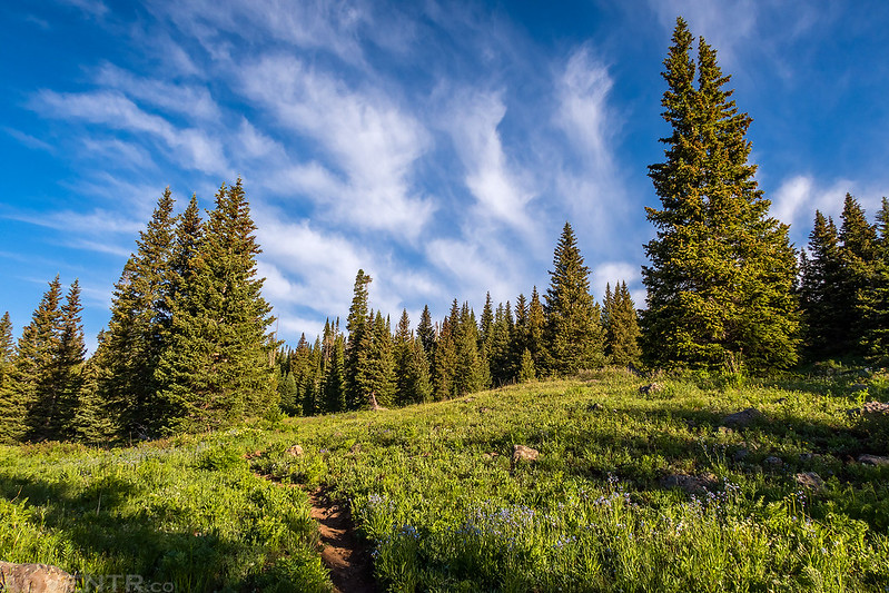
Much of the hike was in the trees with limited views.
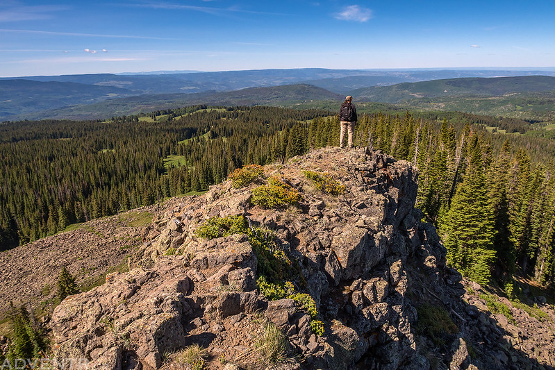
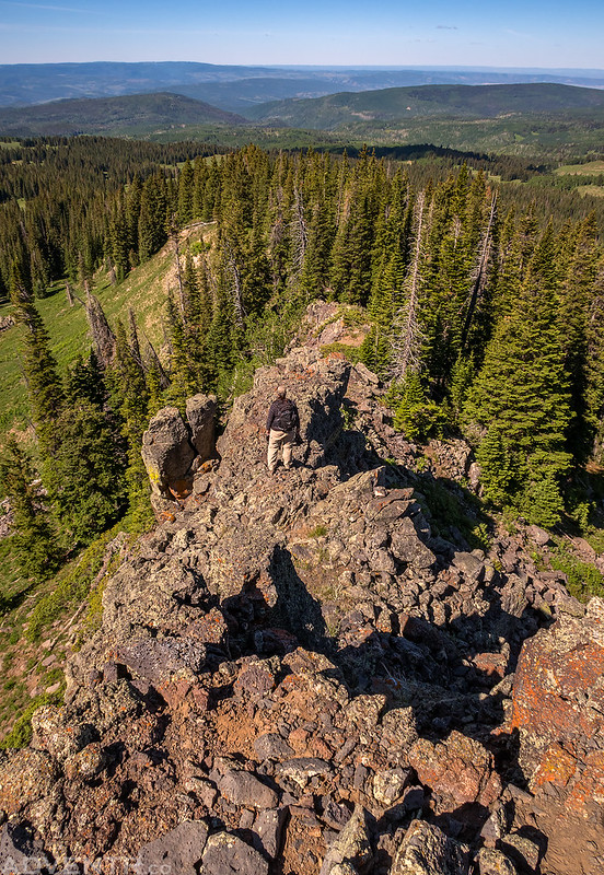
Looking for a way up this rocky section of the ridge. We would find a nice Class 3 scramble on the other side.
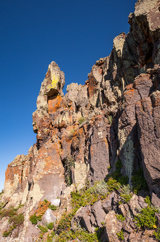
Looking back over the rocky section of the ridge we had just climbed up.
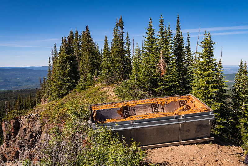
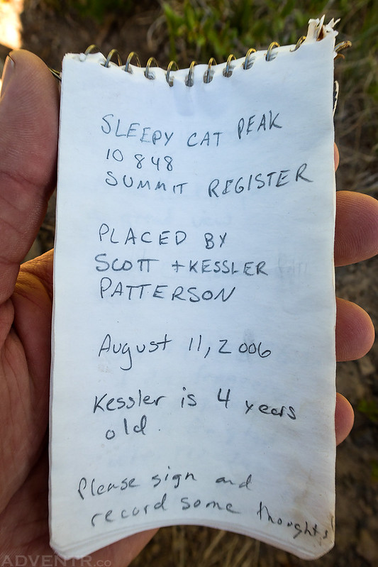
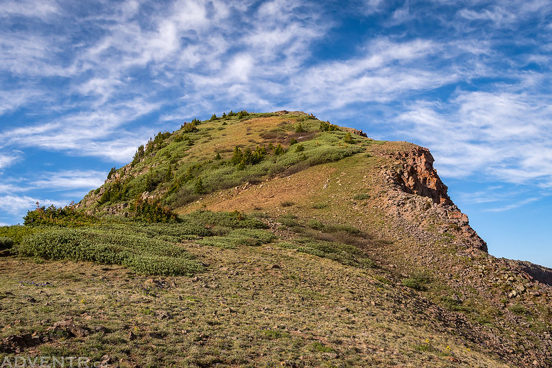
When we reached the summit we were surprised to find this thing sitting on top. Any idea what it might be?
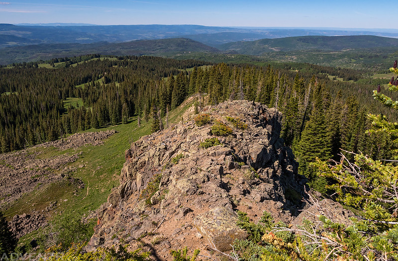
The summit of Sleepy Cat Peak.
It looks like my Facebook friend Scott Patterson put the summit register on this peak back in 2006 and no one had signed it for over a year. There only seemed to be a few signatures each year and most of them were from elk hunters.
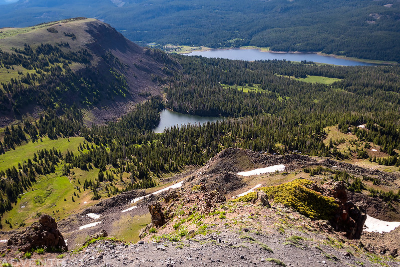
One last view north from the summit over to Salt Park.
After spending a little time relaxing on the summit we headed back down the same way we had come up.
The Edge of The Flat Tops
Diane hiking down the ridge ahead of me.
Following the old ATV track down the ridge back to the main road.
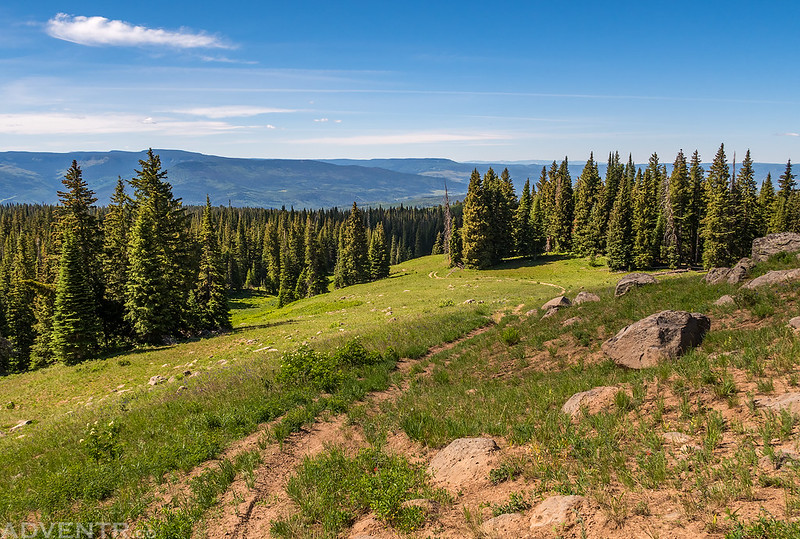
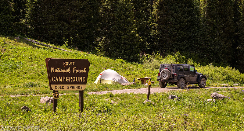
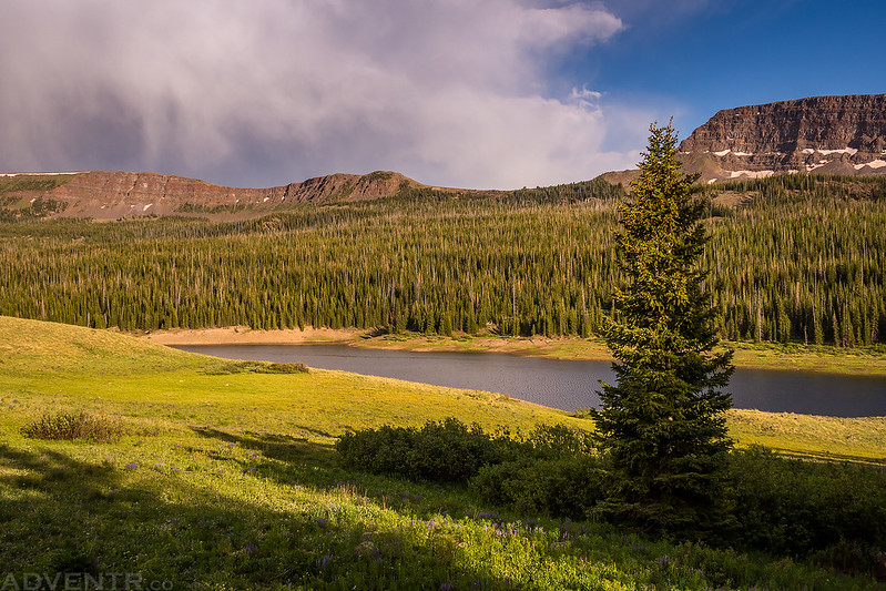
After returning to my Jeep we decided to head over to the Stillwater Reservoir area so we could hike to the Devils Causeway in the Flat Tops Wilderness on Sunday morning since this particular hike has been on my to-do list for almost ten years, just like the Highland Mary Lakes had been. We drove back down the the Flat Tops Scenic Byway and took it over Ripple Creek Pass and Dunckley Pass to the small town of Yampa. Then we followed the Bear River up to the Stillwater Reservoir to look for a place to camp. This area is popular and heavily regulated so you are only allowed to camp in designated sites. As we continued to drive up the dead-end road, we were worried that we wouldn’t be able to find an open site on a Saturday afternoon since everything seemed to be occupied. As luck would have it, we managed to find one open campsite in the Cold Springs Campground at the end of the road. Not only was this campsite away from the other sites in the campground, but it was also the closest site to the trailhead we would be using in the morning, so we got very lucky!
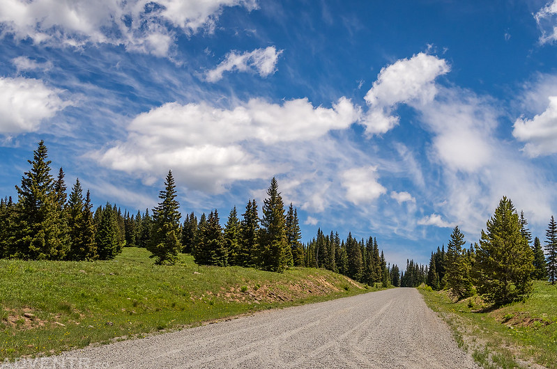
Nice clouds in the sky as we drove over Ripple Creek Pass. We stopped at the nearby overlook for lunch.
The last open campsite in the area!
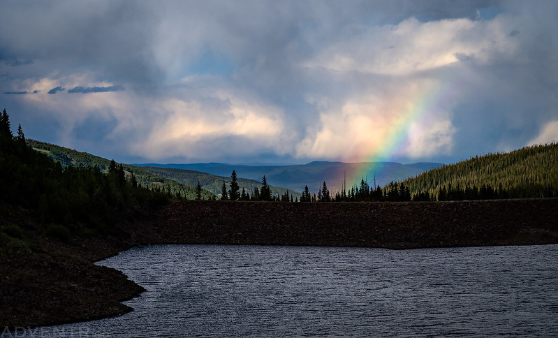
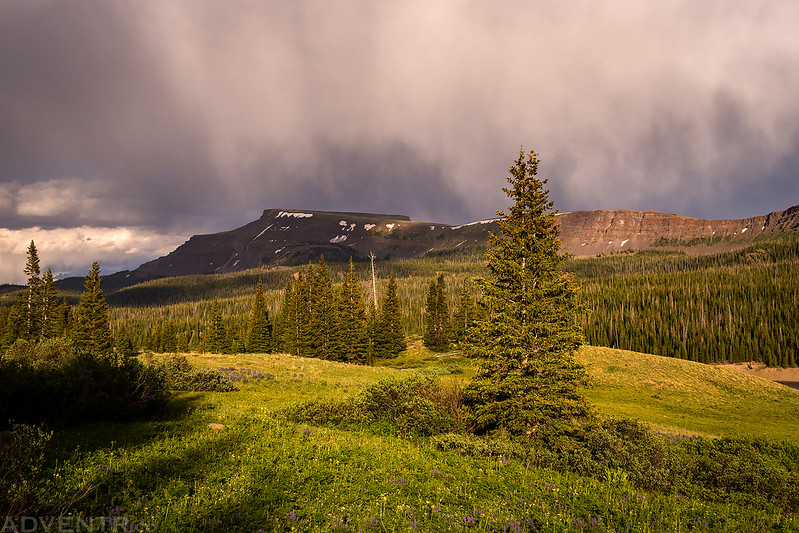
We setup our camp, rested for a while, had some dinner and then went on an evening hike around Stillwater Reservoir shortly before sunset. It was pretty windy during our hike and even rained on us a little, but there were some nice clouds in the sky and even two different rainbows!
Nice light as we hiked the trail along Stillwater Reservoir.
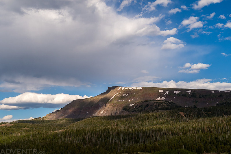
Flat Top Mountain (12,354)
One of the rainbows we saw over the dam.
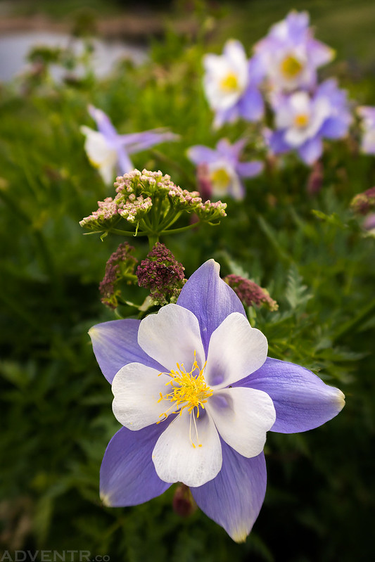
There were a lot of columbines all along the trail. Probably the most I have ever seen in one area.
Diane on the trail after it stopped raining.
The upper portion of the Stillwater Reservoir.
Evening rain and light over Flat Top Mountain.
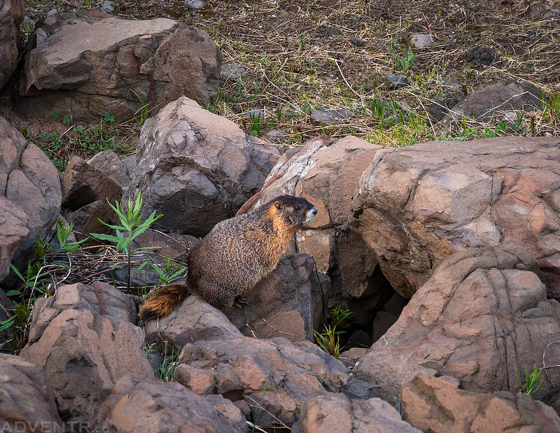
A marmot along the trail near the dam.
Hiking back across the dam at dusk.
After getting into our sleeping bags for the night there would be more rain and wind plus the addition of lightning and thunder during the first half of the night. I was pretty tired from not sleeping well the night before, so these noises didn’t really keep me up, even though there were a couple closer strikes of lightning. Then things calmed down for the second half of the night and I slept even better. We woke up to cool temperatures and there was frost on everything just after sunrise. After a quick breakfast we started hiking up the trail to the Devils Causeway. Unfortunately, when we got above Little Causeway Lake, Diane wasn’t feeling very well so she decided to stop there and head back down to camp while I continued alone to the top. For being out of shape, I actually felt pretty good on this hike and made good time to the summit.
A nice morning at camp right after sunrise.
Hiking through the trees on our way to the Devils Causeway.
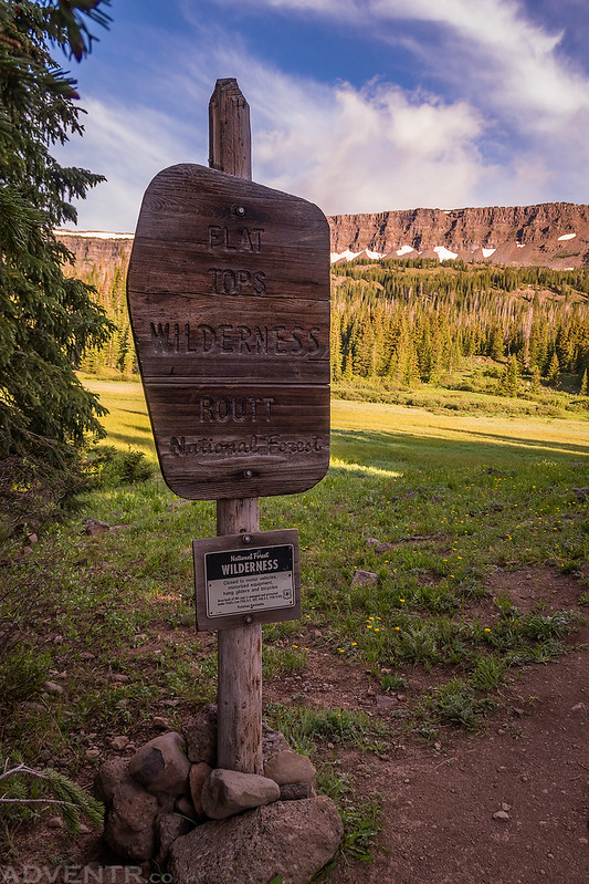
Entering the Flat Tops Wilderness in the Routt National Forest.
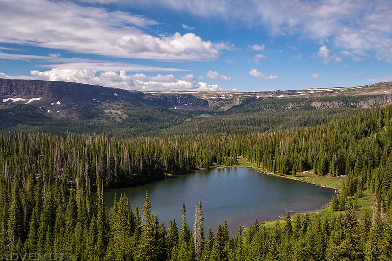
You can’t tell from below, but that’s the Devils Causeway above Little Causeway Lake.
Looking back as we climbed the trail above Little Causeway Lake.
Following the trail into the upper basin.
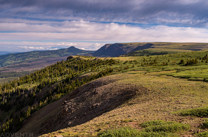
The views were pretty nice once I got out of the trees.
One of the switchbacks along the trail with a view of the high point I was hiking to.
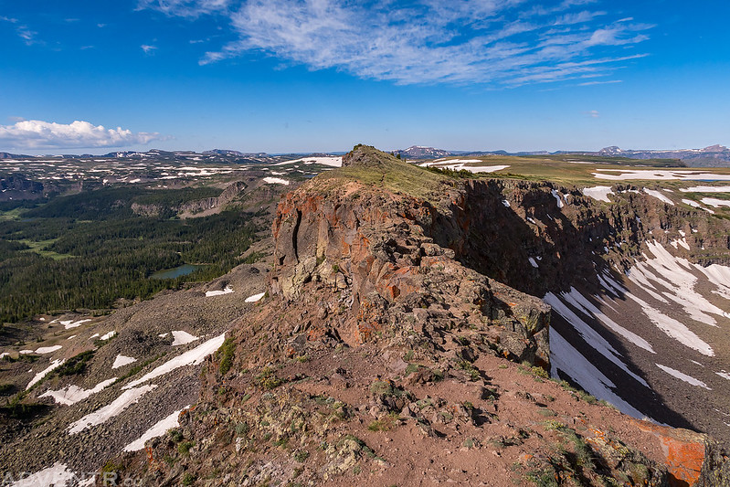
Once I reached the pass there was a great view of the backside of the Chinese Wall.
Looking up the final climb to the high point.
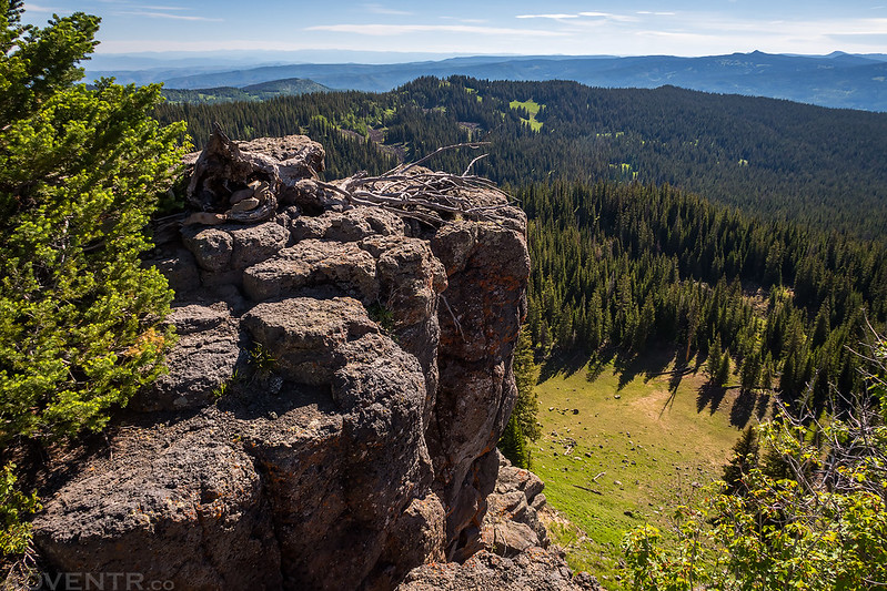
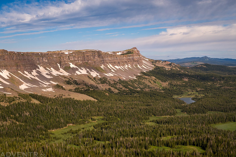
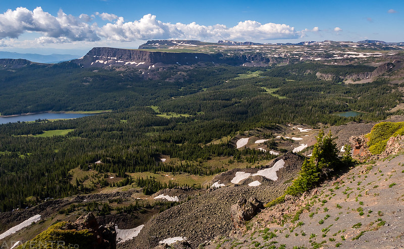
The edge of the Flat Tops and Pyramid Peak (11,532) in the distance.
After crossing the high point the trail followed this narrow ridge to the Devils Causeway.
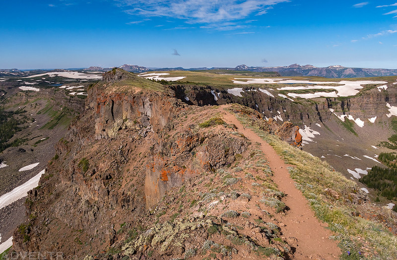
The rocky and narrow Devils Causeway. Trappers Peak (12,002) is on the horizon right in the middle.
I was hoping to be able to cross the Devils Causeway and create a loop hike back to the trailhead, but it was very narrow in one spot with big drop-offs on both sides, and the exposure was just too much for me to continue across, so I decided I would have to turn around and return the way I had come. The views from up here were amazing and worth the hike, even though I couldn’t cross the narrow ridge.
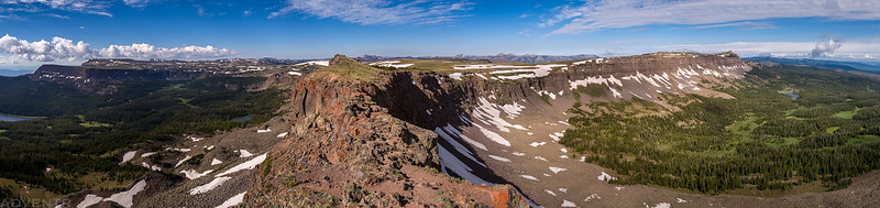
Here’s a large panorama of the amazing view from the Devils Causeway. You can click on the photo to see a larger version on Flickr.
Looking down over Little Causeway Lake and the Stillwater Reservoir. The trail I hiked up can be seen on the left side.
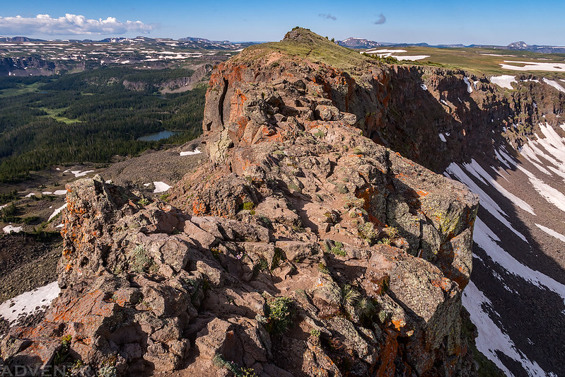
The views of the surrounding Flat Tops Wilderness were very nice from up here!
One last view over Little Causeway Lake as I hiked back down to the trailhead.
After hiking back down the trail I met back up with Diane in camp, we packed up our gear into the Jeep and started the drive back home. We ended up closing our large driving loop around the Flat Tops by taking the Colorado River Road back to Dotsero and then hopping back onto I-70 the rest of the way. We had a great time visiting the Flat Tops this weekend and I certainly don’t want to wait another eight years again until I return!
>> Sleepy Cat Peak & The Devils Causeway Photo Gallery
Send you Big Agnes tent back to have the zipper and pole replaced. They’ve fixed my zippers several times, sometimes for just a small fee.
They’ve already replaced the zipper once on this tent and it didn’t even last another year for us.
Yeah, the zippers on Big Agnes tents leave a LOT to be desired. It’s their only major flaw, imo. I have tents from other companies that have lasted decades without fail.
Great trip report, Randy. Love the rainbow shot.
I was just near there at Trapper’s Lake eyeballing the southern approach to the Causeway. Stuck in my memory is another famous tongue, or ridge, that connects between two high mesas and is hikable. Somewhere in the rockies or desert southwest. Does that ring a bell to you?
The only other similar thing I can think of is The Neck in The Maze?
I live in Meeker and get to frequent the Flat Tops trails. Yours are the best pictures I’ve seen of the Wall Lake, Lost Lakes peak and Causeway areas.
Thank you Lisa!