Raggeds Wilderness | Friday & Saturday, June 23-24, 2023
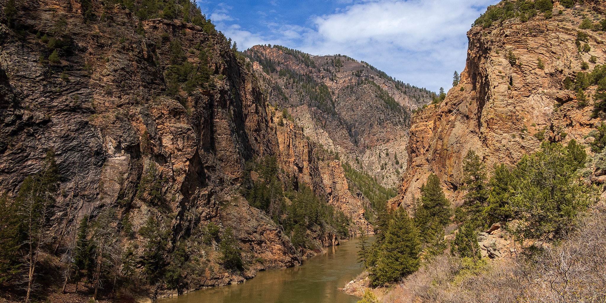
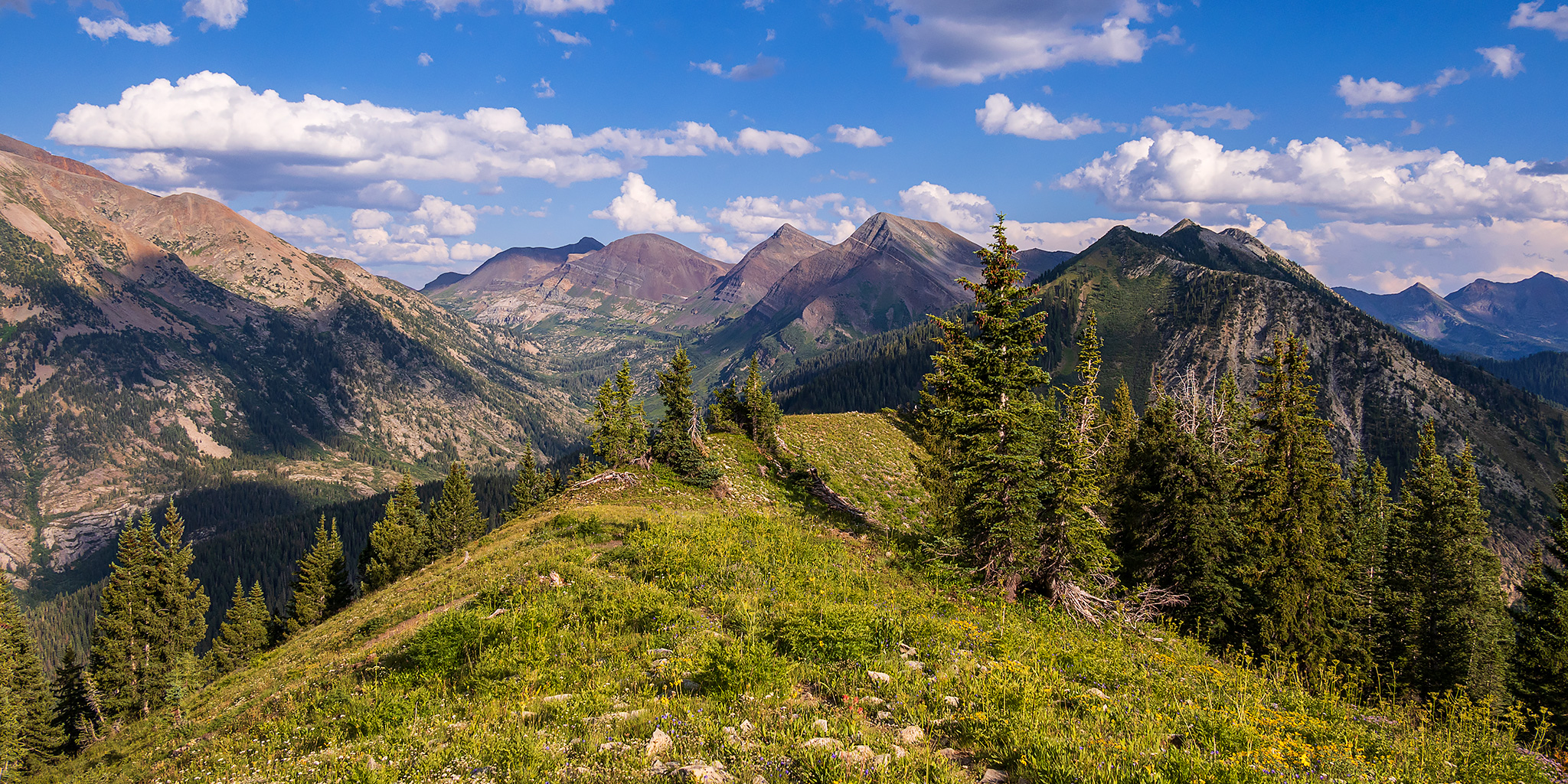
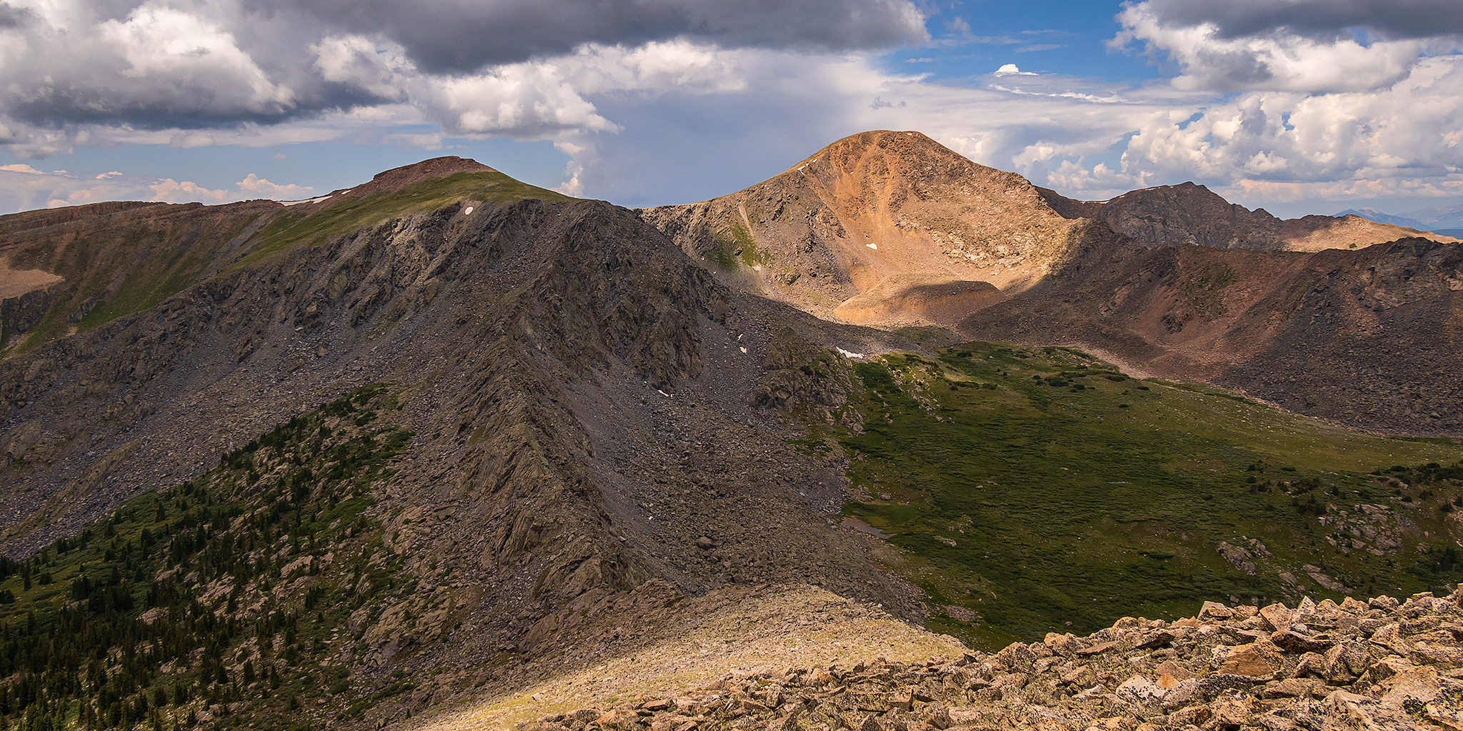
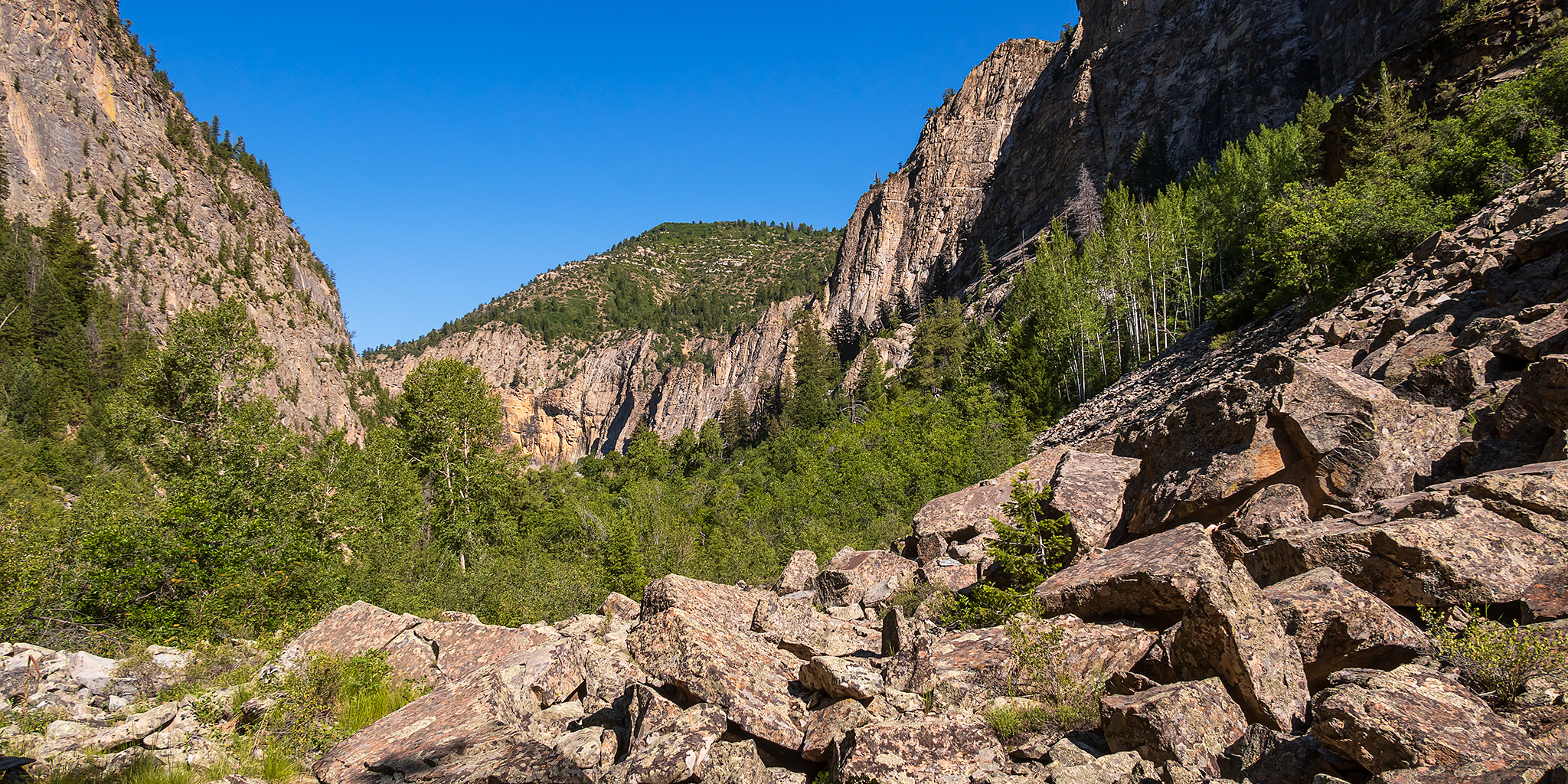
With the desert trails starting to heat up, it’s now time for me to start chasing cooler temperatures in the mountains after having a great season on the local rivers this spring. While there is still a lot of snow up in the high country from our big winter, I decided to start out with some lower elevation hikes this weekend. Since Colorado Highway 133 had finally reopened up earlier in the week I planned to spend Saturday morning hiking through the Dark Canyon of Anthracite Creek into the heart of the Raggeds Wilderness. I left from work on Friday afternoon, made a quick stop for gas in Delta and then followed the North Fork of the Gunnison River until I reached the Kebler Pass Road just below the Paonia Reservoir.
Leave a Comment