Press "Enter" to skip to content

Tag: uncompahgre plateau

Return to The Island

Sunday, March 15, 2015

On Sunday morning Diane and I headed into the Colorado National Monument for a short and steep sunrise hike. Recently Diane had mentioned to me that she wanted to climb to the top of The Island which is between Monument Canyon and Wedding Canyon. It had been a few years since I was up there and I was definitely interested in hiking it again, especially since we were going to catch a sunrise on the way. We made it to the Lower Monument Canyon Trailhead about 45 minutes before sunrise and were the first vehicle in the parking lot. We started hiking in the dark and followed the rim on the southeast side of The Island over Monument Canyon so we would have a good view as the sun came up.

2 Comments

Monument Mesa Loop

Sunday, March 8, 2015

Since I’ve been busy moving these past couple of weeks, we didn’t stray far from home again this weekend. On Sunday morning we woke up early (even after losing an hour of sleep to daylight savings time) and made our way over to the Colorado National Monument to hike a new loop trail I have wanted to try for a while. Ever since I climbed up Otto’s Staircase and visited Otto’s Bathtub last year, I have wanted to combine those trails into a loop across the top of Monument Mesa.

3 Comments

Mushroom Rock Trail

Saturday, January 17, 2015

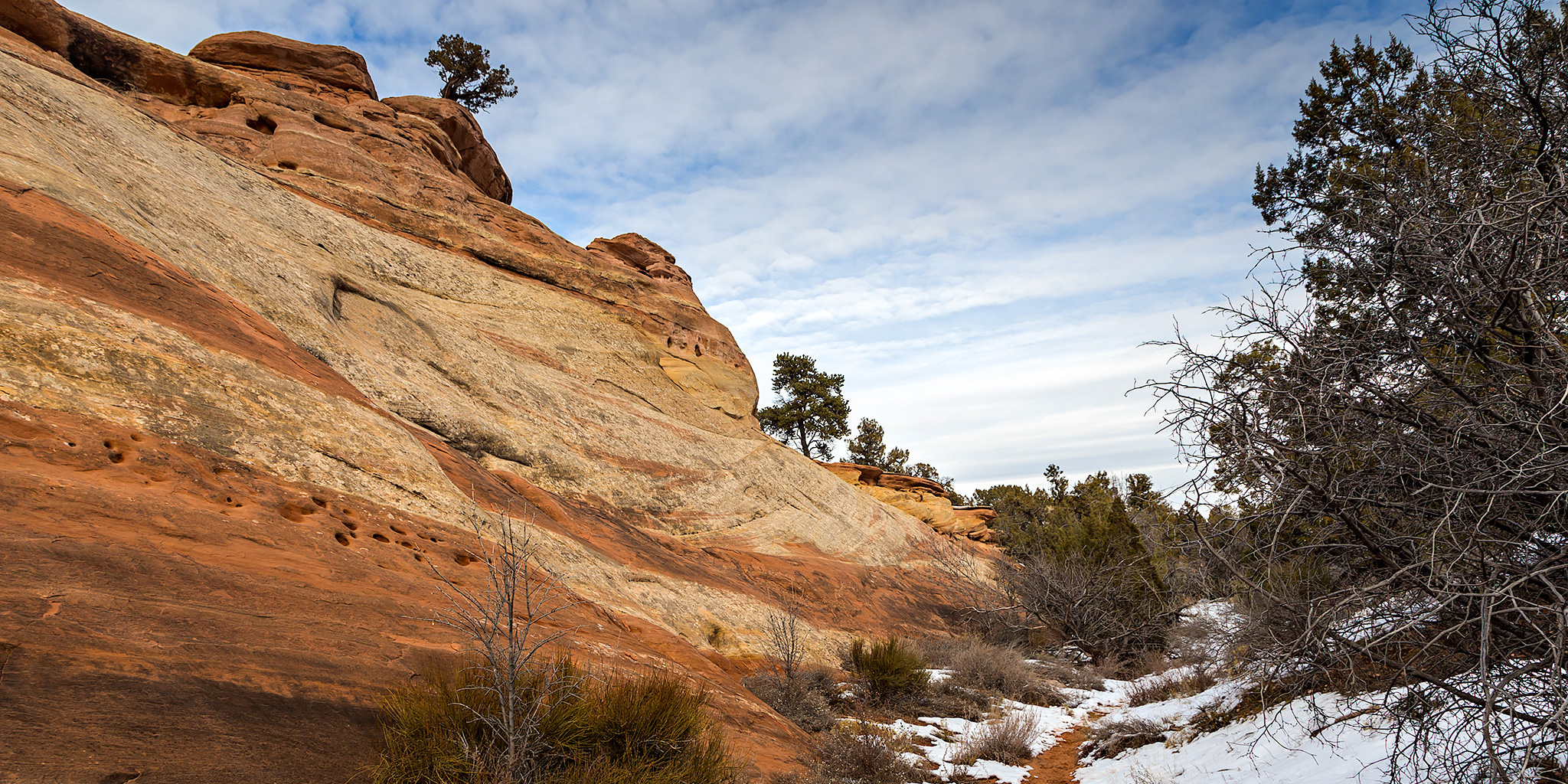
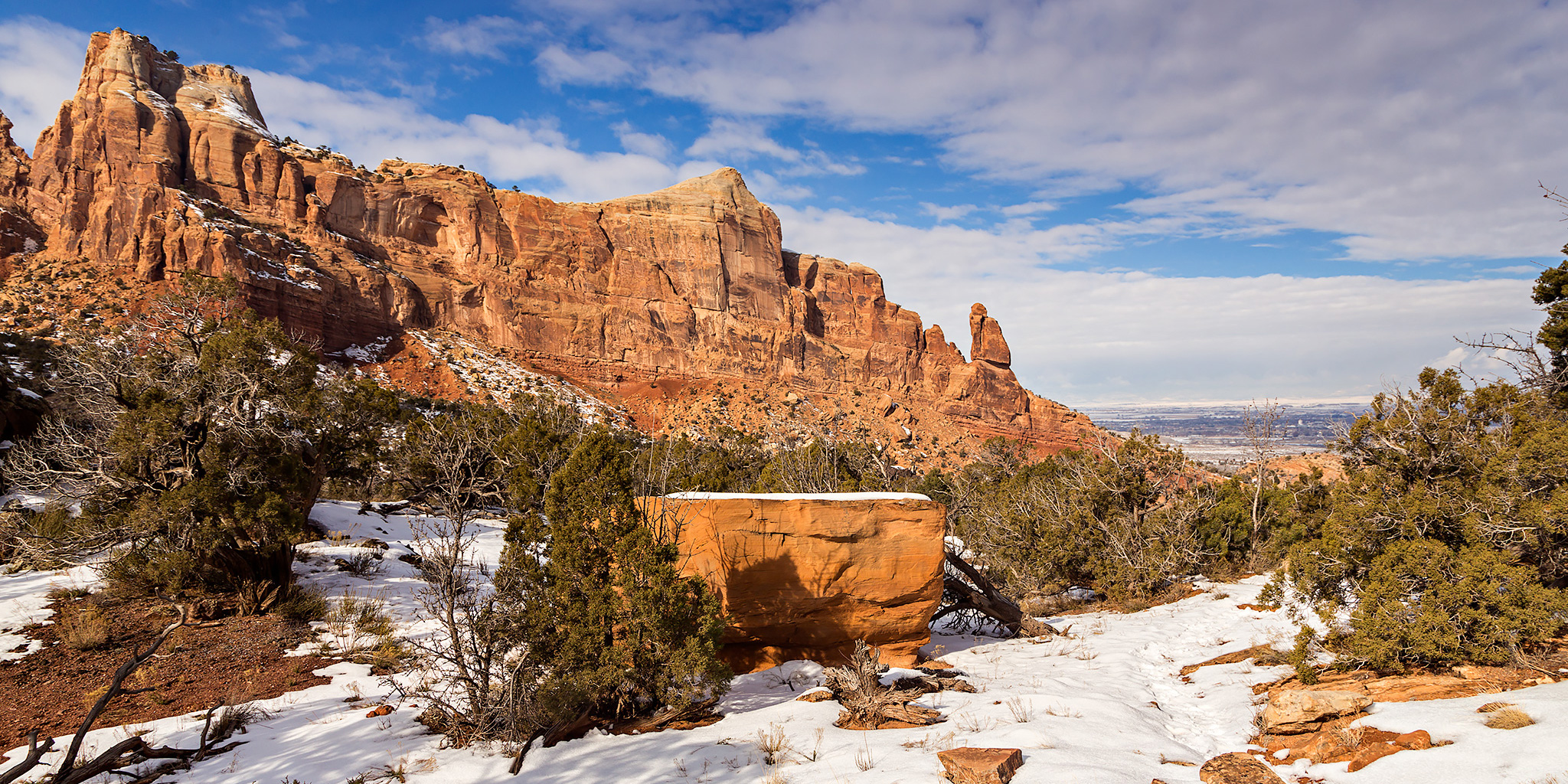
After spending a lazy morning at home we decided head over to the Colorado National Monument in the late afternoon to get some hiking in. Last year when scouting for a connecting trail between Monument Canyon and the Precambrian Bench Trail, we came across a faint trail that went into Monument Canyon below Mushroom Rock that we wanted to explore further. We decided to follow that trail this afternoon to see if it would eventually connected to the main Monument Canyon trail. We started at the White Rocks trailhead and climbed the steep trail into Gold Star Canyon onto the Precambrian Bench and hiked around the point of Monument Mesa under Mushroom Rock. The trail got pretty hard to follow once we were in Monument Canyon, but we managed to keep on track with a few minor detours. Unfortunately, we ran out of time and had to turn around before reaching the end of the trail. We never did find a connection to the main Monument Canyon trail, and we had continued well past the point where the main trail went up a side canyon. We will have to return another time to find out where this trail goes and explore more of the upper reaches of Monument Canyon.

Leave a Comment

A Little Fog in the Monument

Sunday, December 14, 2014

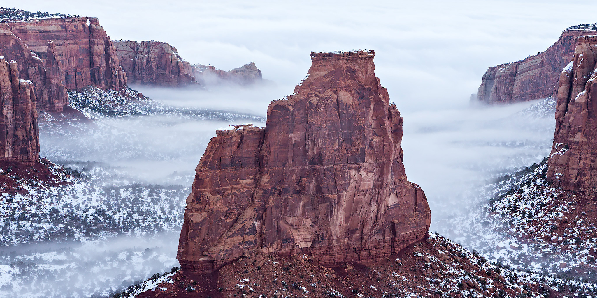
After spending a rare lazy Saturday at home, I saw there was a little fog hanging around the canyons of the Colorado National Monument this morning and decided to drive up there to take a few photos. I wasn’t able to go very far since the Monument had closed Rim Rock Drive at the Independence Monument Viewpoint, so most of my photos were from that area.

Leave a Comment

Toms Canyon to the Little Dolores River

Saturday, December 6, 2014

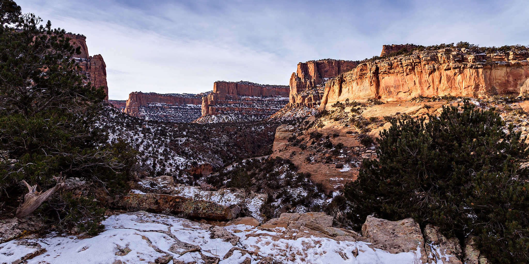
In a recent conversation with a Facebook friend, he mentioned to me that there might be some rock art located along the Little Dolores River between two parcels of private property. After doing some research on the property boundaries and finding that access would probably be possible by hiking down Toms Canyon, I mapped a possible route on Google Earth that avoided all private property and stayed on BLM land to the area. The only concern I had left was finding an access point down into Toms Canyon from the rim. I had found a spot on Google Earth that looked good, but would not know for sure until I was there and checked it out for myself. On Saturday morning I decided to head up and give this hike a shot. After stopping at the Visitor Center in the Colorado National Monument to pick up a calendar that features one of my photos, I continued up through Glade Park to the Little Dolores Road and took it almost to it’s end at the private property. I turned off on a side road that lead to a campsite and started hiking from there. First, I had to climb to a short pass on a faint trail that gave me a nice view down into Toms Canyon. The faint trail I followed up to the pass pretty much ended there and I had to bushwhack through the steep and rocky wash on the way down into Toms Canyon. There was one rocky ledge that I thought was going to stop me and prevent me from going further, but after a little searching I managed to find a way down. It turns out that the route I had planned in Google Earth worked out perfectly. Once I was down in Toms Canyon the hiking was much easier and I followed some well-used cow trails.

Leave a Comment