Friday – Saturday, September 13-14, 2019
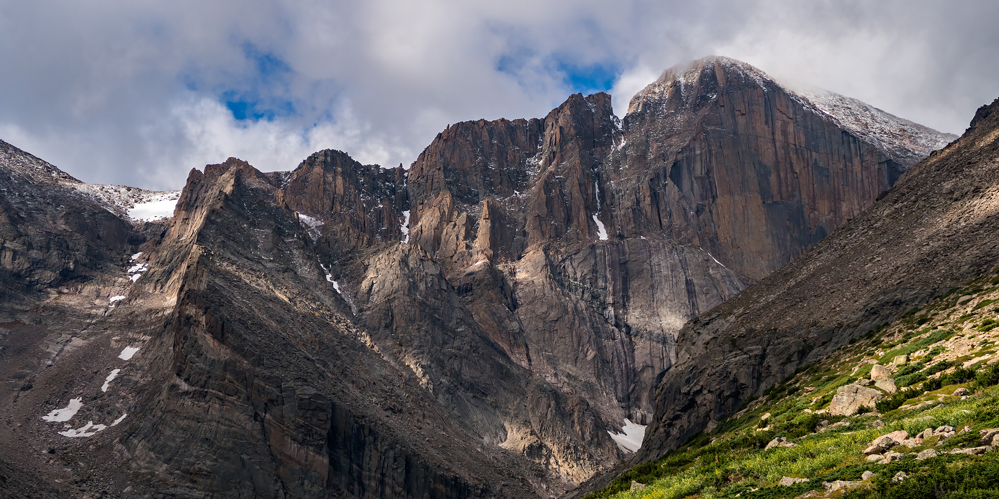
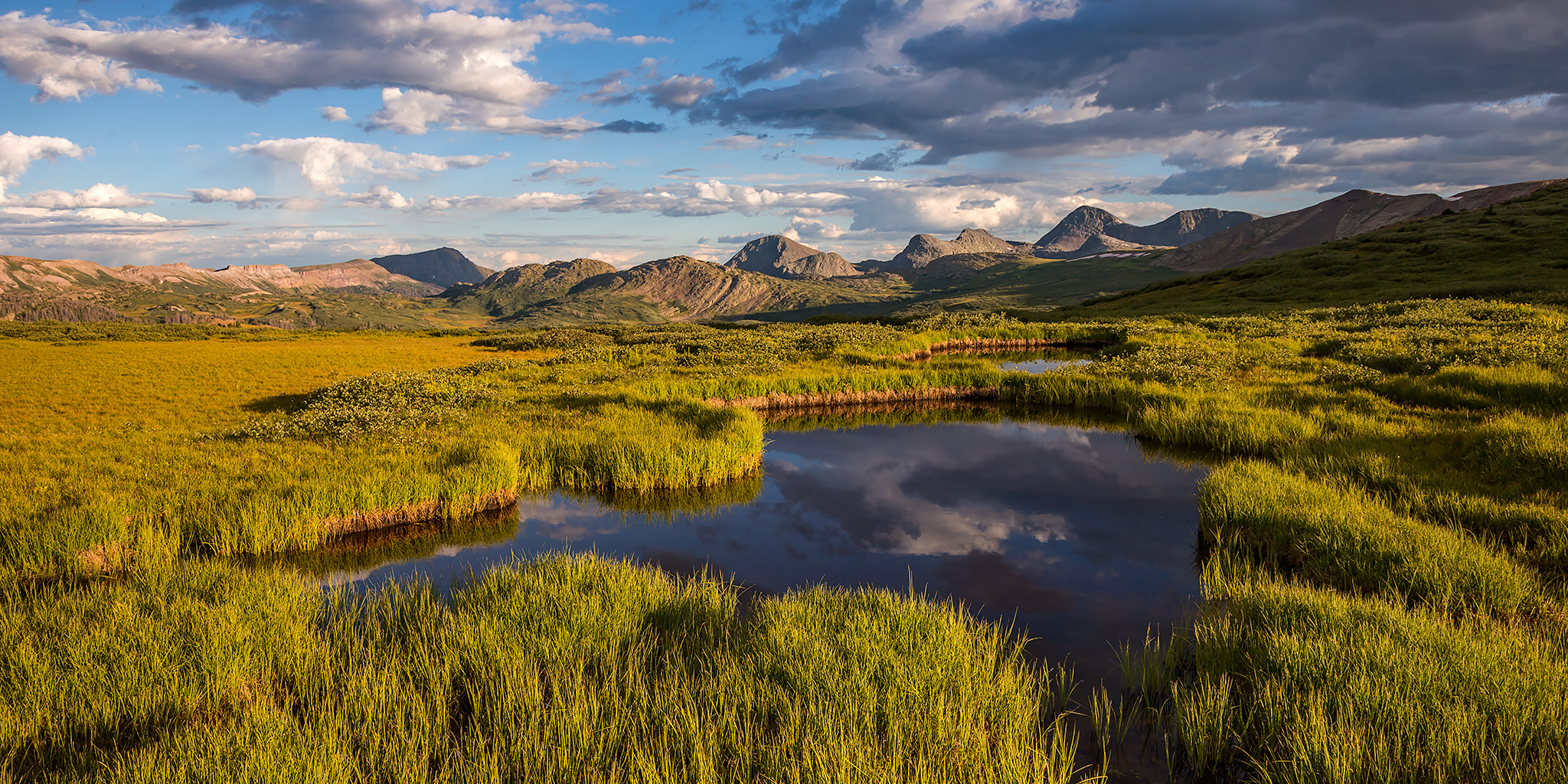
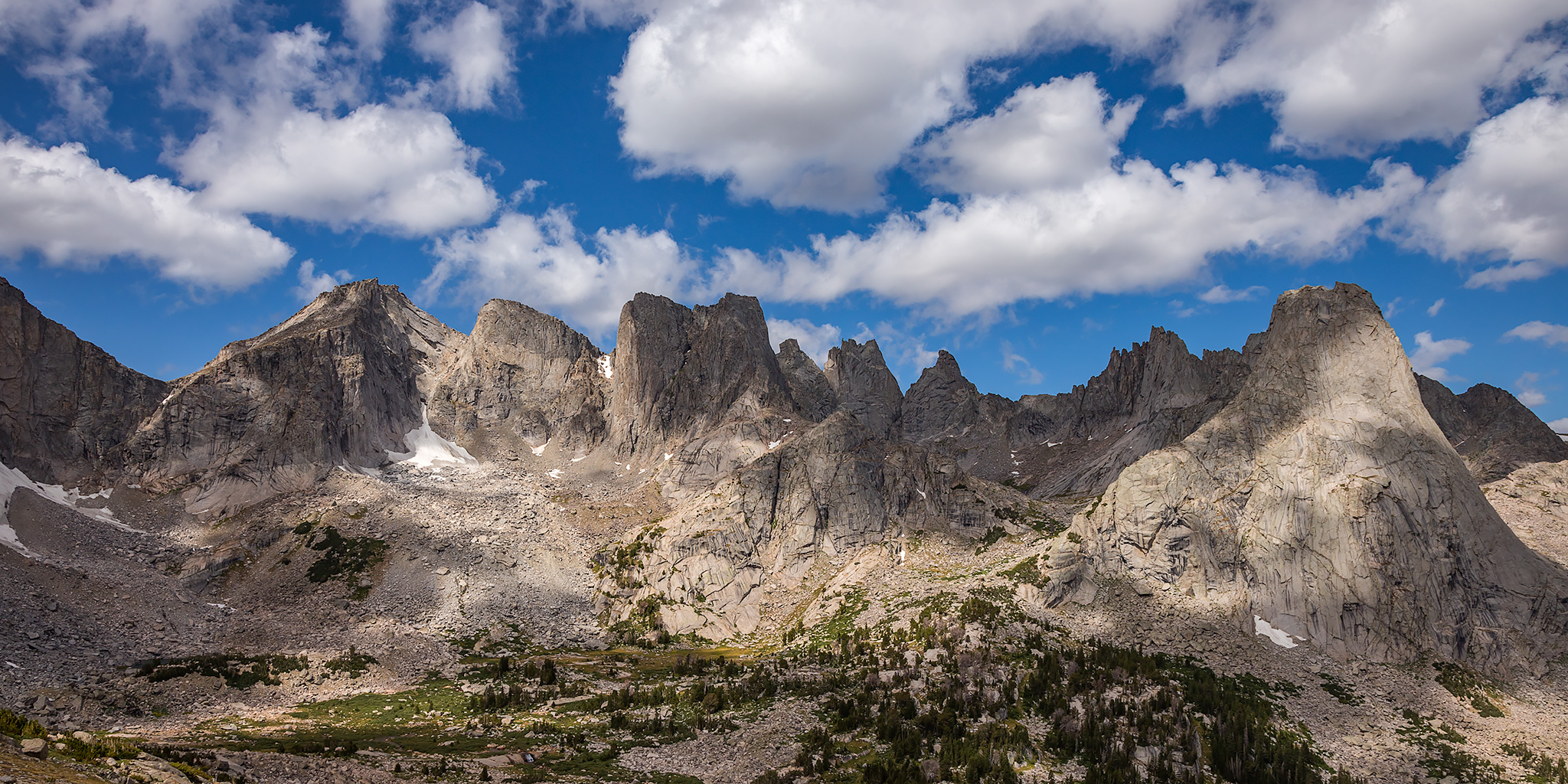
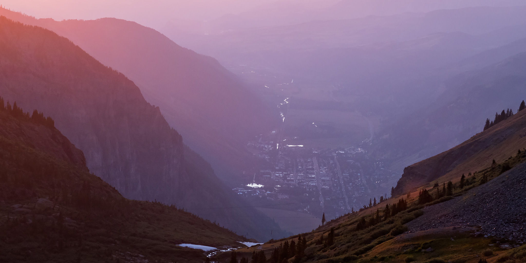
This weekend Diane and I had another concert to go to on Saturday evening, so just like when I climbed Red Mountain #2 a few weeks ago, I decided to climb another easier peak in the San Juan Mountains on Saturday morning so that I could return home in the early afternoon. I’ve had Ajax Peak (12,785) near Telluride on my to-do list for a while, and that looked like it would be the perfect quick and easy mountain to summit this weekend. Ajax Peak may not be a very high peak by Colorado standards, but it is a prominent sight when you are in the town of Telluride, and I believe it is also a popular hike from town since there is a good trail all the way up to the summit. The peak sits along the ridge separating Ingram Basin from Savage Basin and is down below Telluride Peak (13,509), which I climbed at the end of last summer. Of course, I was not planning on climbing Ajax Peak from Telluride like most people do, instead I planned to drive over Black Bear Pass and spend the night in Ingram Basin where I would start my hike in the morning.
Leave a Comment