After Work Adventures | Tuesday & Wednesday, May 14 & 15, 2024
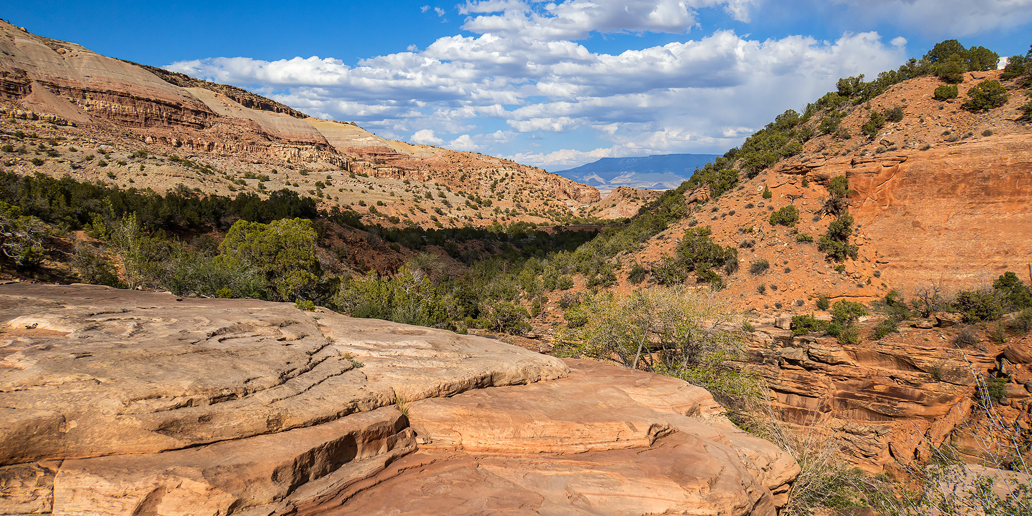
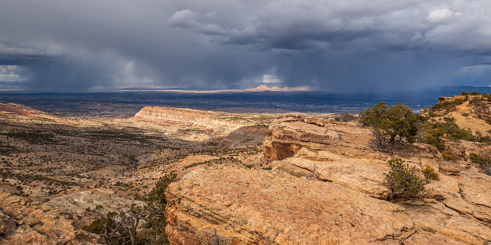
On Tuesday afternoon I left work with the intention of hiking a pair of trails in the Third Flats area to the highpoint of Horse Mesa. Although there were storms in the area, it seemed like they were going to miss the Grand Valley so I didn’t worry too much about them at the time. I drove up Little Park Road into the Bangs Canyon Recreation Area and then followed the Billings Canyon Road to the start of the Saddle Up Trail and started hiking. However, as soon as I made it a short distance up the trail the storm I wasn’t initially worried about moved into the area with strong gusts of wind and rain, so after looking at the weather radar map again I decided it would be best to turn around and come back the following day. Normally, a little rain wouldn’t scare me off from a hike, but I had driven across a lot of clay areas on the road to reach the trailhead and was a little worried about how slick those sections could get if they got wet.
Leave a Comment