Press "Enter" to skip to content

Tag: railroad history

The Carbon Corridor: A Few Evenings Around Price

Monday – Thursday, May 6-9, 2024

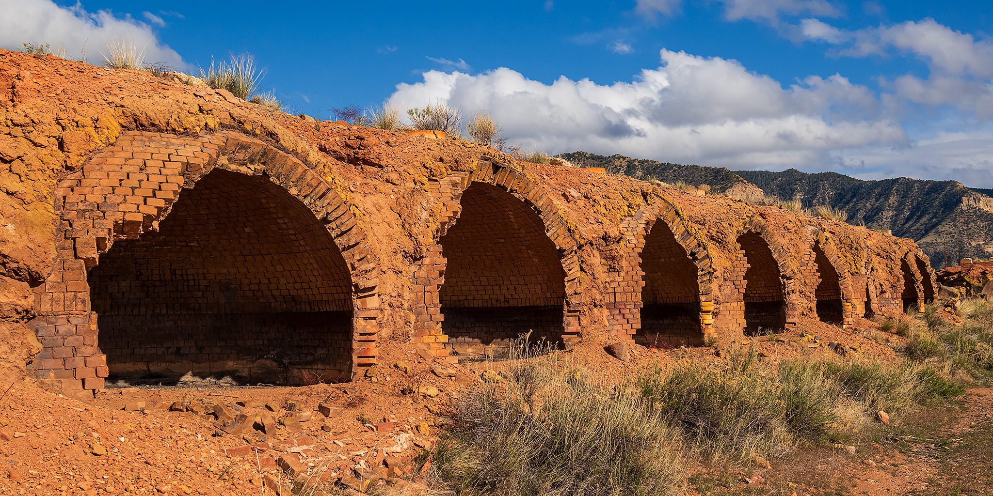
After spending the weekend in Salt Lake City with Diane, we returned home for a normal day of work on Monday and then I drove back up to Price afterwards since I would be spending the rest of the week attending the annual Utah Geographic Information Council (UGIC) Conference, which was being held in the Carbon Corridor this year. Of course, during my drive to Price I took a detour off of the highway into the very northern reaches of the San Rafael Swell so I could go on a short hike and a scenic drive before continuing on to my hotel for the night. There had been a consistent and strong cold wind blowing all day which made the hiking a bit chilly this evening and it offered a preview of what the weather would have in store for the remainder of the week!

2 Comments
Curecanti Trails in the Black Canyon of the Gunnison

Curecanti National Recreation Area | Saturday, May 13, 2023

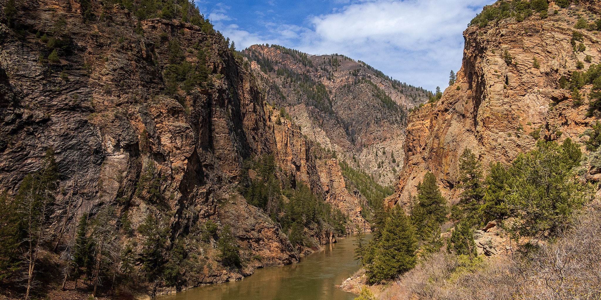
After spending last weekend on the Yampa River, Jackson and I had already planned another river trip for this Sunday on the Colorado River near home, so today I wanted to find something a little more local to do. While looking over my maps trying to decide where to go, I eventually settled on hiking a couple of shorter trails in the Curecanti National Recreation Area (NRA) that are all located within the upper end of the Black Canyon of the Gunnison. Aside from an overnight backpacking trip down the Hermits Rest Trail a couple years ago, I have done no other hiking in the NRA even though I drive through it frequently in the summer. There are really only a handful of trails in Curecanti, so I thought this would be a good opportunity to start hiking them all.

Leave a Comment

Hagerman Pass and the Colorado Midland Railway

Wednesday – Saturday, July 27-30, 2022

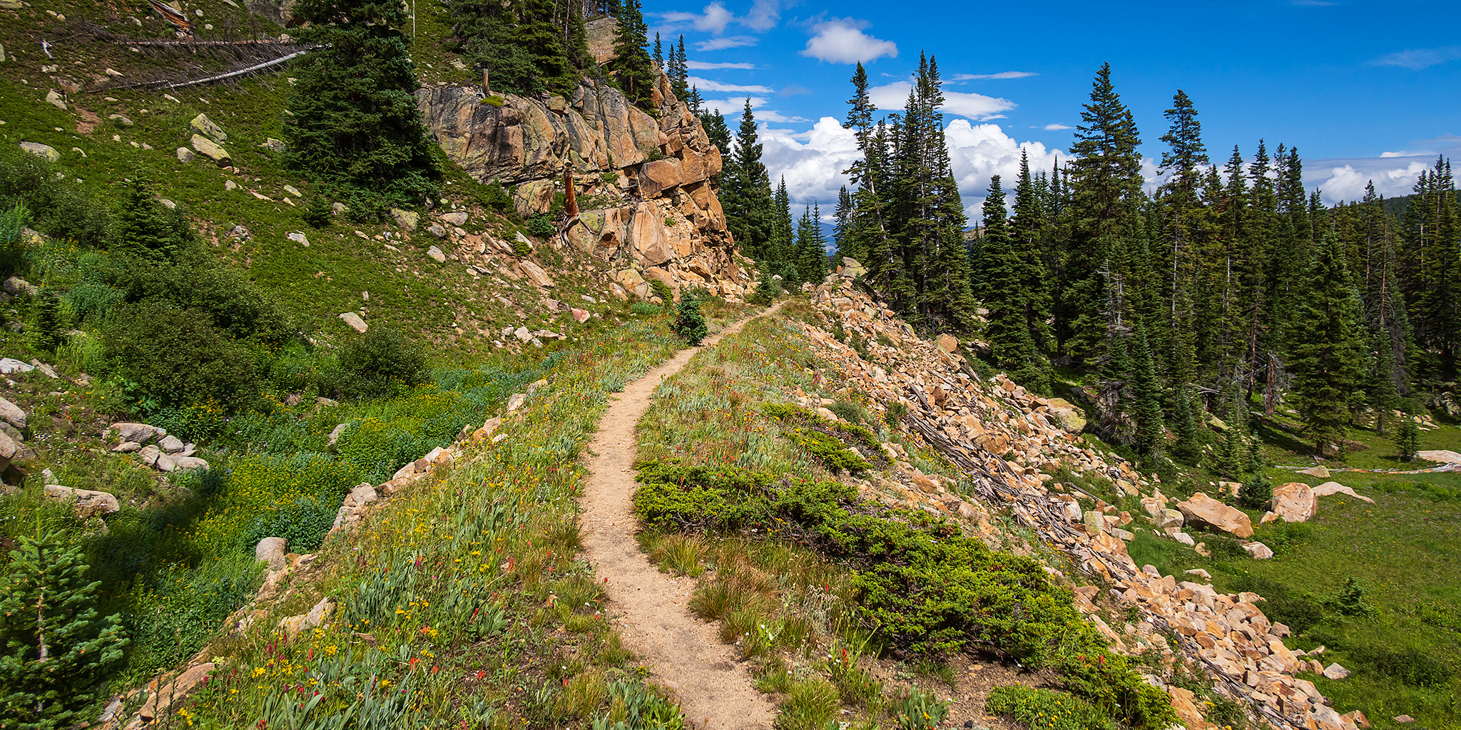
This Thursday and Friday I was going to be attending the GIS Colorado Summer Meetup which was being held at Turquoise Lake near Leadville and then I planned to spend the rest of the weekend exploring the surrounding area. I was hoping to get plenty of hiking in during the evenings and over the weekend, but that didn’t end up happening and I spent most of the time meeting new people and relaxing around camp, which was a nice change of pace. Although the weather forecast had been calling for a wet and stormy couple of days at the end of the week, we didn’t see much rain at the campground, but it was still overcast and cloudy much of the time. These are some photos I took over the days I was in the area.

3 Comments

Hancock Pass Peaks

Colorado Adventure 2018 | Wednesday & Thursday, August 8-9, 2018

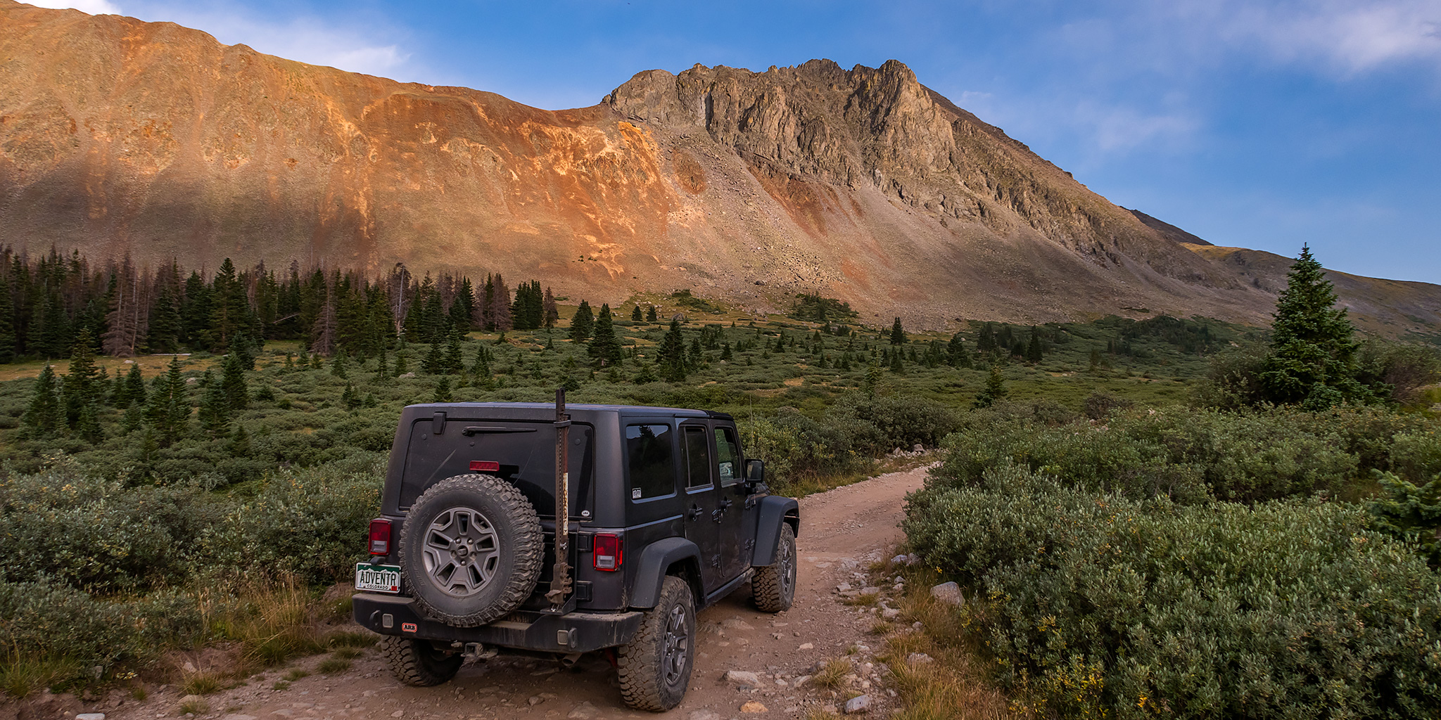
After climbing a few 13ers in the Mosquito Range on Wednesday morning and then stopping for lunch in Buena Vista I headed up the road along Chalk Creek toward St. Elmo into the Sawatch Range again. My plan for Thursday morning was to climb a pair of 12ers from Hancock Pass, but since it was still early in the afternoon I had some time to explore for a little bit before finding a campsite for the night near the pass. I started out by driving up to the Pomeroy Lakes Trailhead since I hadn’t been up to this area in over ten years. When I reached the end of the road I wandered around a little bit and found a nice overlook of Grizzly Gulch. This view brought back memories of the one time I drove to Grizzly Lake and needed to use my winch to make it up there. The overlook area was connected to the ridge of nearby Chrysolite Mountain which looked like a fun climb to the summit, but the weather wasn’t looking too great at this time or I might have tried it. Thankfully, the smoke was finally starting to clear out a little bit as the afternoon clouds and storms moved in, so I was able to get a good view of the surrounding peaks.

Leave a Comment

The Gore Range

Colorado Adventure 2009 | Day 5
Wednesday, August 5, 2009

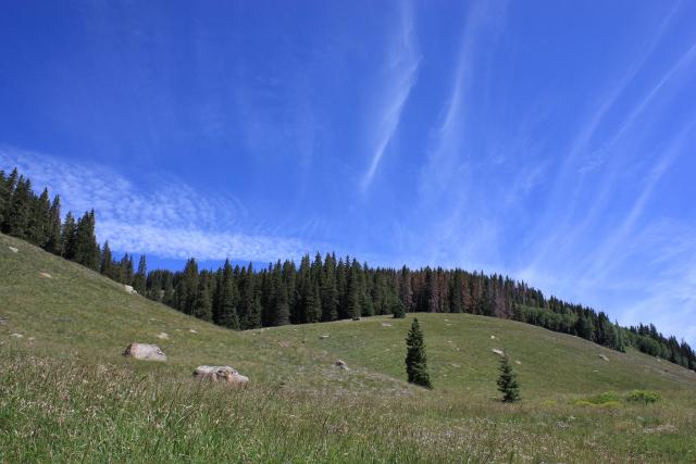
After a good night’s sleep back in my own bed at home, I got up early again and headed east on I-70 and US 24 to Red Cliff. From there, I hopped on the Shrine Pass Road for a little ways and then headed up Lime Creek. The trail started out rocky when it was in the trees, but once it opened up, the trail smoothed out and offered some excellent views.

Leave a Comment