Press "Enter" to skip to content

Tag: moose

Shadow Mountain Fire Lookout

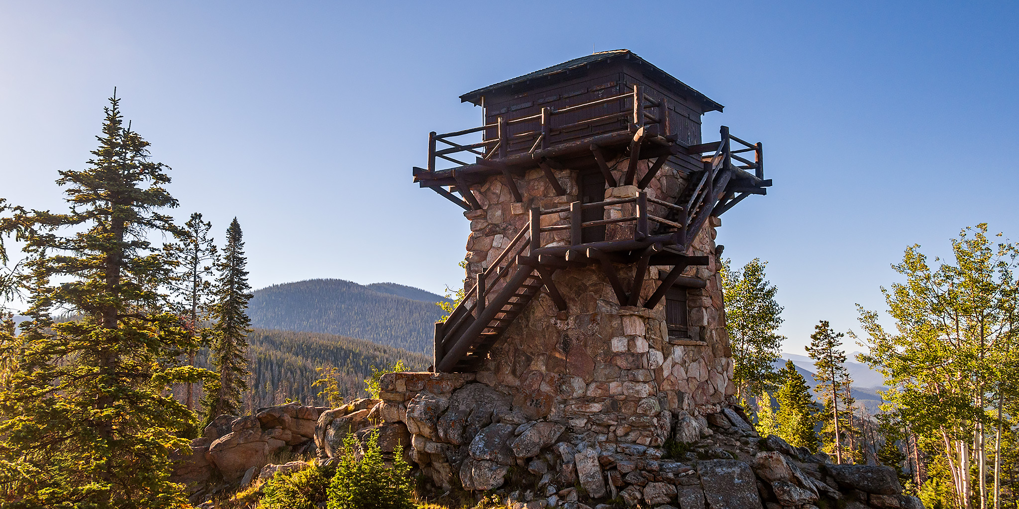
The Only Remaining Fire Lookout in Rocky Mountain National Park
Fire Lookouts Extravaganza | Monday & Tuesday, August 29-30, 2022

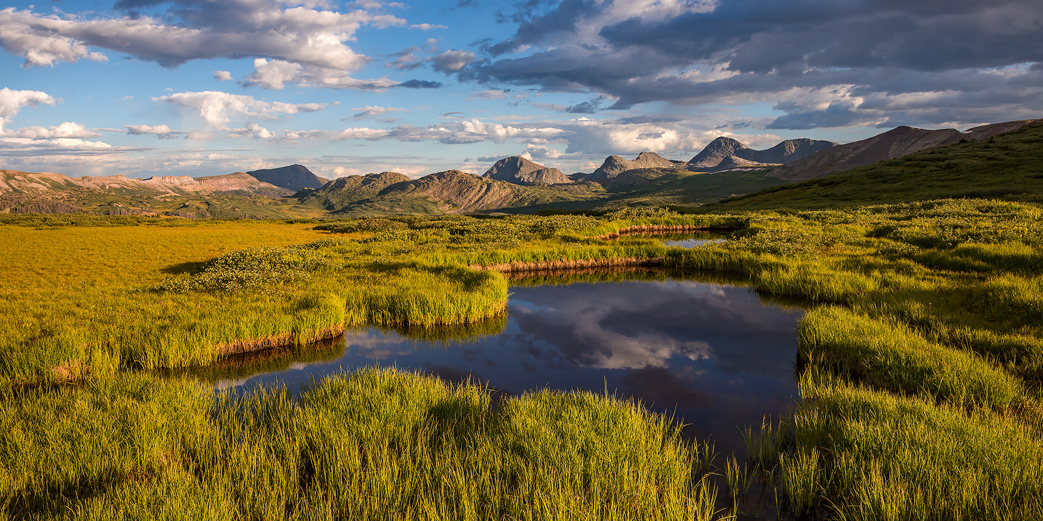
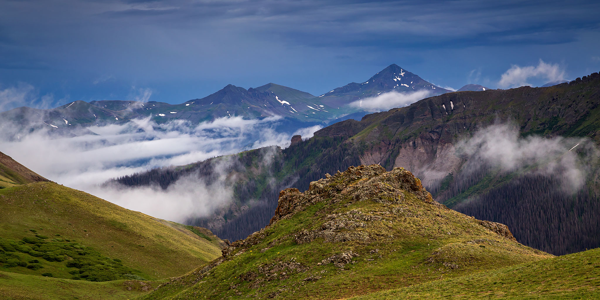
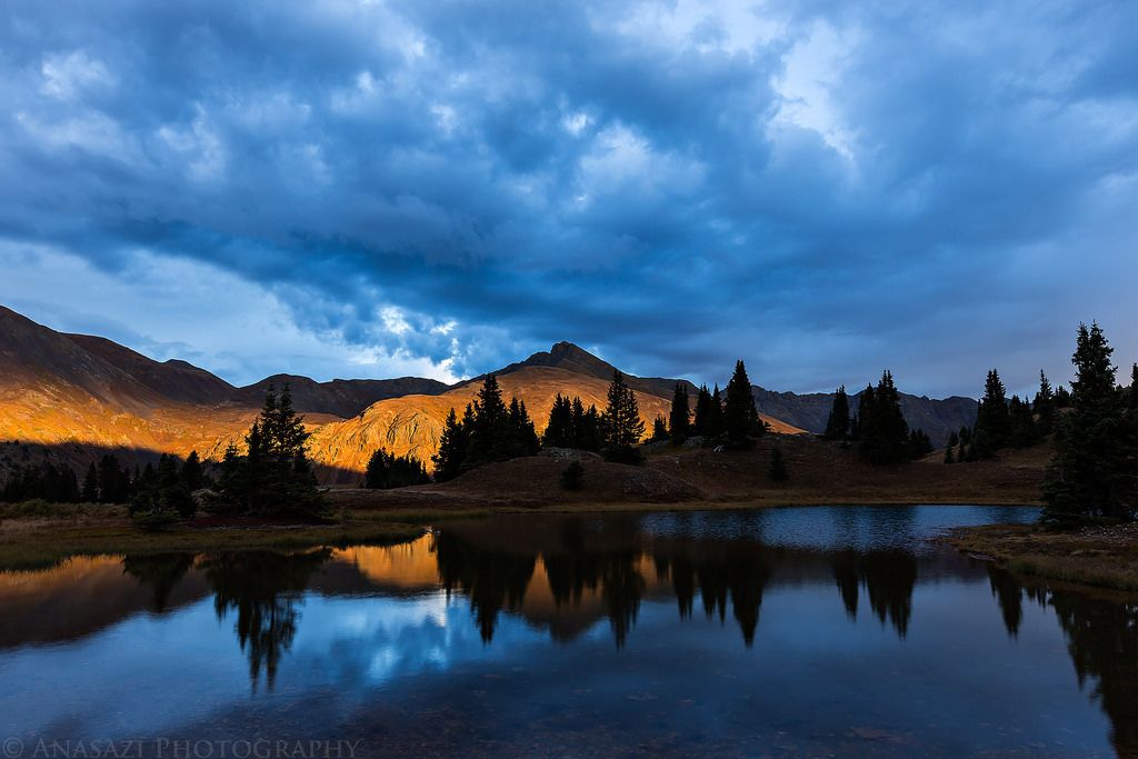
Earlier this year I managed to reserve two nights this week at the Spruce Mountain Fire Lookout in the Medicine Bow Mountains of Wyoming and thought it would be fun to make a longer trip out if it by trying to visit as many other Fire Lookouts in the same general area that I could. Since my first night at the Spruce Mountain Tower wasn’t until Tuesday, I thought it would make sense to stop and visit the Shadow Mountain Fire Lookout on the way there. Located near the small town of Grand Lake, the Shadow Mountain Fire Lookout was built in the 1930’s and is the only remaining Fire Lookout left within the boundaries of Rocky Mountain National Park. I left from work on Monday afternoon and followed the upper Colorado River to Grand Lake with a stop for gas in Kremmling.

2 Comments

ABC’s of the Green River: Red Canyon to Browns Park

Flaming Gorge Dam to the Swinging Bridge | High CFS: 1,870 – Low CFS: 1,240
Saturday – Tuesday, September 18-21, 2021

The middle and latter part of September is probably my favorite time of the year to go on a nice relaxing river trip. The heat of summer is starting to diminish, but it’s still usually warm enough to go for a swim. The rivers are lower and slower making a more enjoyable trip for those of us who aren’t really into the swift water and big rapids. The low water also means there are a lot of sandbars for camping on, which is my favorite kind of camping. The nights are beginning to to get longer and cooler and most of the bugs are usually gone! What more could you ask for? After spending a few days on the Colorado River in Canyonlands National Park last September, this year Jackson, Chris and I decided to follow in the footsteps of John Wesley Powell again and check out the Green River just below the Flaming Gorge Dam from Red Canyon to Browns Park. This segment of the Green River is known as the ‘ABC’ section because it is divided into three different sections; Section A from the Flaming Gorge Dam to Little Hole is about 7 miles, Section B from Little Hole to Indian Crossing is about 8 miles, and Section C from Indian Crossing to Swinging Bridge is about 15 miles- for a total of about 30 miles. We planned to do the whole stretch.

2 Comments

Weminuche Wanderings: West Ute Lake Loop

Continental Divide Trail: Hunchback Pass to West Ute Lake
Labor Day Weekend | Friday – Sunday, August 30 – September 1, 2019

Since we just spent last weekend along the Continental Divide in Wyoming, I figured it would be nice to spend some time along the Continental Divide Trail in Colorado this weekend. Since Labor Day is a popular holiday in the mountains of Colorado I planned a backpacking loop into an area of the Weminuche Wilderness that I hoped would not be very busy so we could try to avoid the crowds. The plan worked out great as we only saw a couple of other people all weekend and had plenty of solitude! As for the trails we hiked, they required more bushwhacking and route-finding than I expected, so that might be another reason why we didn’t run into too many people.

5 Comments

Carson Saddle Peaks: Bent Peak & Carson Peak

Saturday & Sunday, July 22-23, 2017

Next weekend Diane and I are scheduled to climb our first 14er of the year, so this weekend we decided to head down to the Continental Divide near Lake City so we could hike a couple of 13ers to help us prepare. The weather on Saturday was predicted to be wet and stormy early but Sunday morning was looking good, so we planned to hike the 13ers early Sunday and tried to find something a little lower and in the trees for Saturday.

Leave a Comment

Courthouse Mountain

Fall Colors 2014
Saturday & Sunday, September 20-21, 2014

On Saturday, Diane and I headed back down to the San Juan Mountains again so we could climb to the top of Courthouse Mountain in the Cimarron’s . While this mountain is short compared to the surrounding peaks in the area at only 12,152 feet, it is uniquely shaped and has over 1,000 feet of vertical prominence. It’s also a very distinguishable peak near Owl Creek Pass that is often photographed, especially in the fall when the surrounding mountainsides are changing colors. I have seen this mountain in the skyline for many years when I would drive to Ouray and Silverton, and decided it was finally time to climb to the top a few weeks ago when I had a different view of it during our hike into Wetterhorn Basin. While there were afternoon storms predicted after 3:00pm today, we didn’t need to get too early of a start for this hike since it’s a relatively short trail, clocking in at just under 2 miles, but it climbs almost 2,000 feet of elevation in that short distance.

Leave a Comment