Press "Enter" to skip to content

Tag: la sal

( ЯR ) The Rimrocker Trail: Montrose to Moab

Getting Lost in the West End: Across the Uncompahgre Plateau & La Sal Mountains
Friday – Sunday, June 7-9, 2024

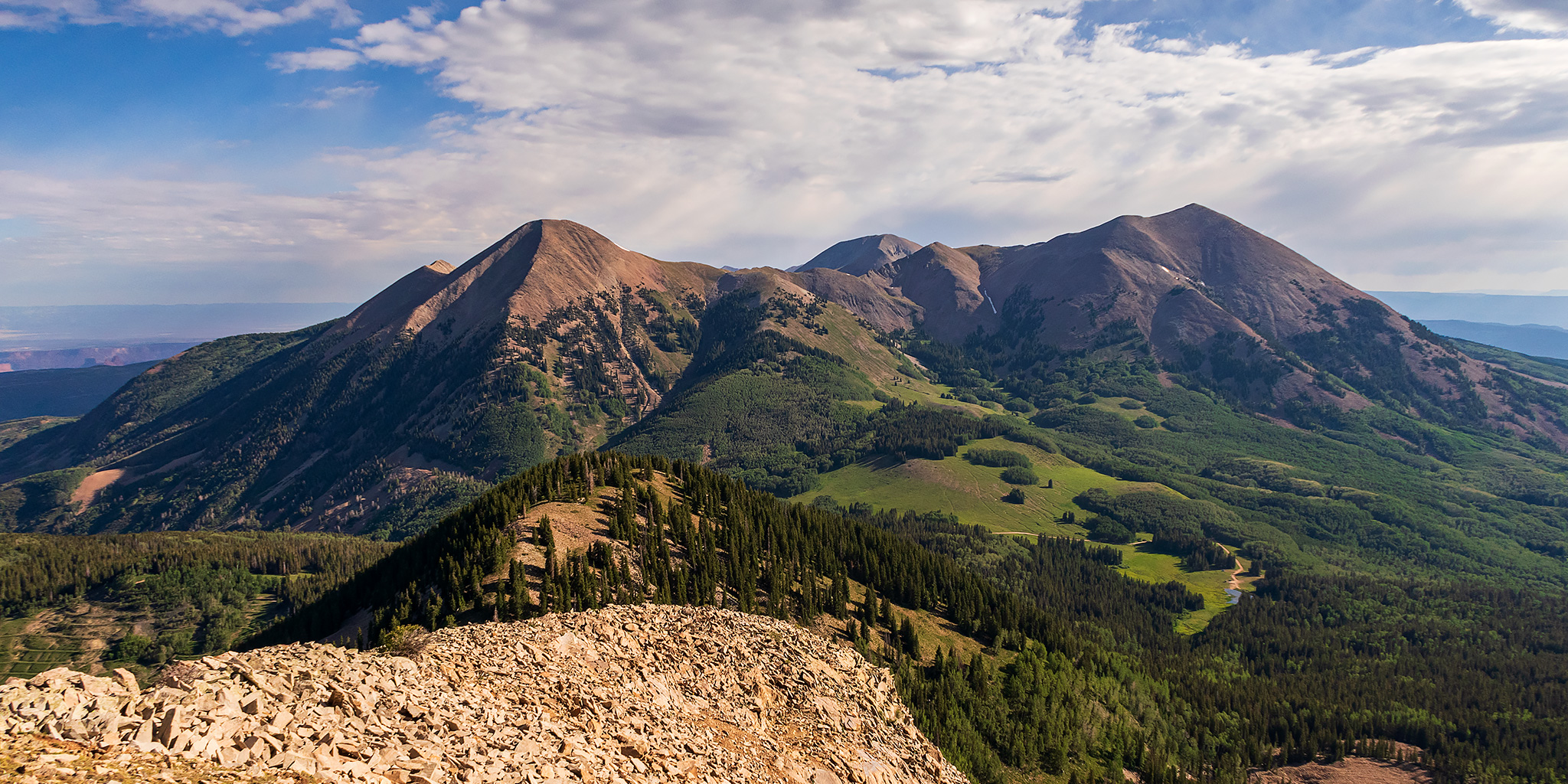
After having an amazing time on the river in Cataract Canyon last weekend, I wanted to take it easy and stay a bit closer to home this weekend. With warmer temperatures in the valleys and still too much snow in the high country for me, I thought this might be a great opportunity to finally take a scenic weekend drive across the Uncompahgre Plateau and La Sal Mountains from Montrose to Moab on the Rimrocker Trail, while also taking the time to stop for a few short hikes and side trips along the way. The Rimrocker Trail was created in 2016 by linking up existing roads in this remote area of Western Colorado, many of which I have already driven over the past twenty years, especially while I was working on mapping out a 4X4 route of the Tabeguache Trail and Paradox Trail. But even though I have already driven many of these roads before, it’s been a long time and I really don’t remember very much about them, so I was looking forward to the refresher on this 160 mile route. So after spending Friday evening in Black Canyon of the Gunnison National Park, I drove across the Uncompahgre River Valley and found a campsite near Temple Park and the beginning of the Rimrocker Trail so I could get an early start on Saturday morning.

Leave a Comment
Exploring Desert Stone: East Canyon to Harts Draw

Tracing the Historic Route of the 1859 Macomb Expedition, Part I
Friday – Sunday, November 4-6, 2022

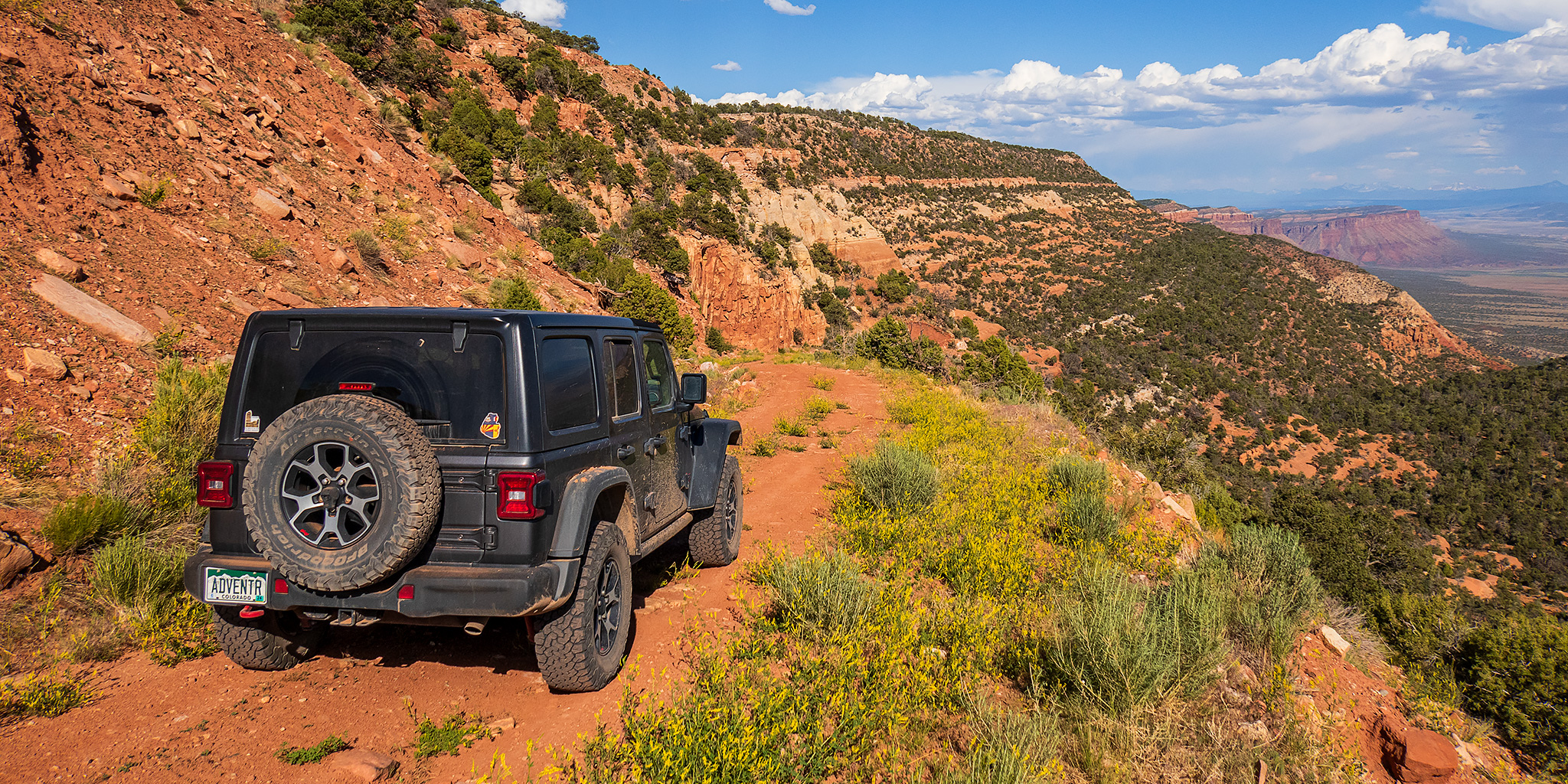
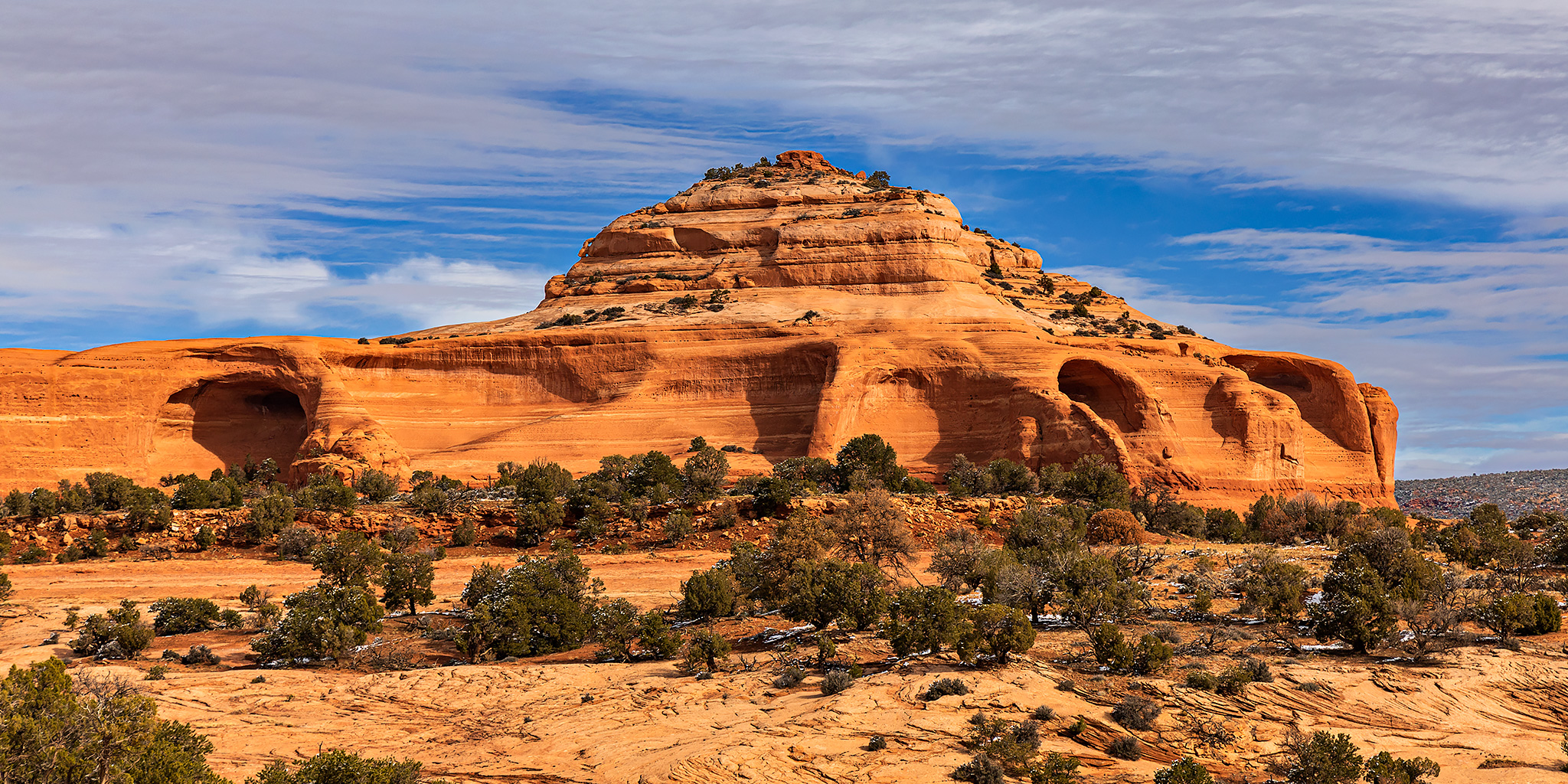
After being sick and stuck at home over the past two weekends I was really ready to get back outdoors again this weekend! Since I haven’t done much hiking in a couple of weeks I wanted to take it easy this weekend and thought this would be a good opportunity for me to finally start on a project that I have been thinking about doing for over a decade. That project would be to follow part of the historic route of the 1859 Macomb Expedition into the Canyonlands region. Members of a small detachment from this expedition were quite possibly the first non-native Americans to view and describe what is now Canyonlands National Park and leave written and graphic records of what they saw.

6 Comments

Middle La Sal Peak: Mount Mellenthin

La Sal Mountains Peak Bagging | South Mountain from Medicine Lakes
Friday – Sunday, July 10-12, 2020

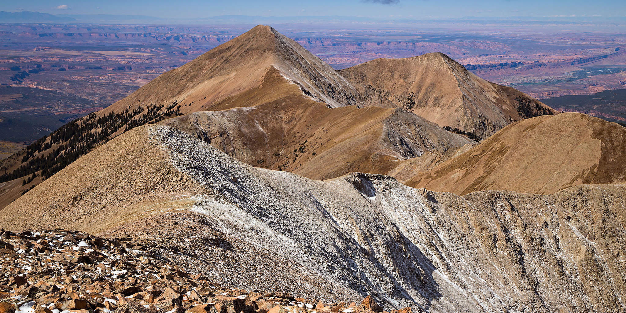
This weekend I continued my annual tradition of spending an early summer weekend peak-bagging in the La Sal Mountains near Moab. Usually I try to make this my first peak-bagging trip of the season, but this year that honor goes to Trappers Peak in the Flat Tops. Since I have now hiked all of the popular peaks in the La Sal Mountains, it is time to get started on the more obscure ones, and this trip I thought it was finally time I went for Mount Mellenthin, also known as Middle La Sal Peak, which is the second tallest peak in the La Sals after Mount Peale. I was originally planning to hike Mount Mellenthin after floating the Moab Daily a couple of weeks ago, but I had to cancel those plans when I came down with some sort of allergic reaction after getting off the river. I was looking forward to getting back into the La Sals this weekend, especially since there was a heat wave in the area and I hoped to stay cool at higher elevations!

Leave a Comment

Mount Peale

Thursday, October 6, 2016

Since Jared and I had cancelled our plans to hike to the summit of Mount Peale (12,721) at the end of the previous day, we didn’t bother waking up until the sun was up this morning. I asked him if he had any suggestions for hikes near Moab and after some thought he suggested that we give Mount Peale a chance since we were right near it. I was feeling better after a good night’s sleep so I figured it was worth a try, though I kind of had a feeling that we would probably bail partway up and not make it to the summit.

Leave a Comment

Mount Tukuhnikivatz

La Sal Mountains Peak Bagging
Independence Day Weekend | Saturday – Monday, July 2-4, 2016

“All around the peaks of the Sierra La Sal lies the desert, a sea of burnt rock, arid tablelands, barren and desolate canyons. The canyon country is revealed from this magnificent height as on a map and I can image, if not read, the names on the land.” -Edward Abbey

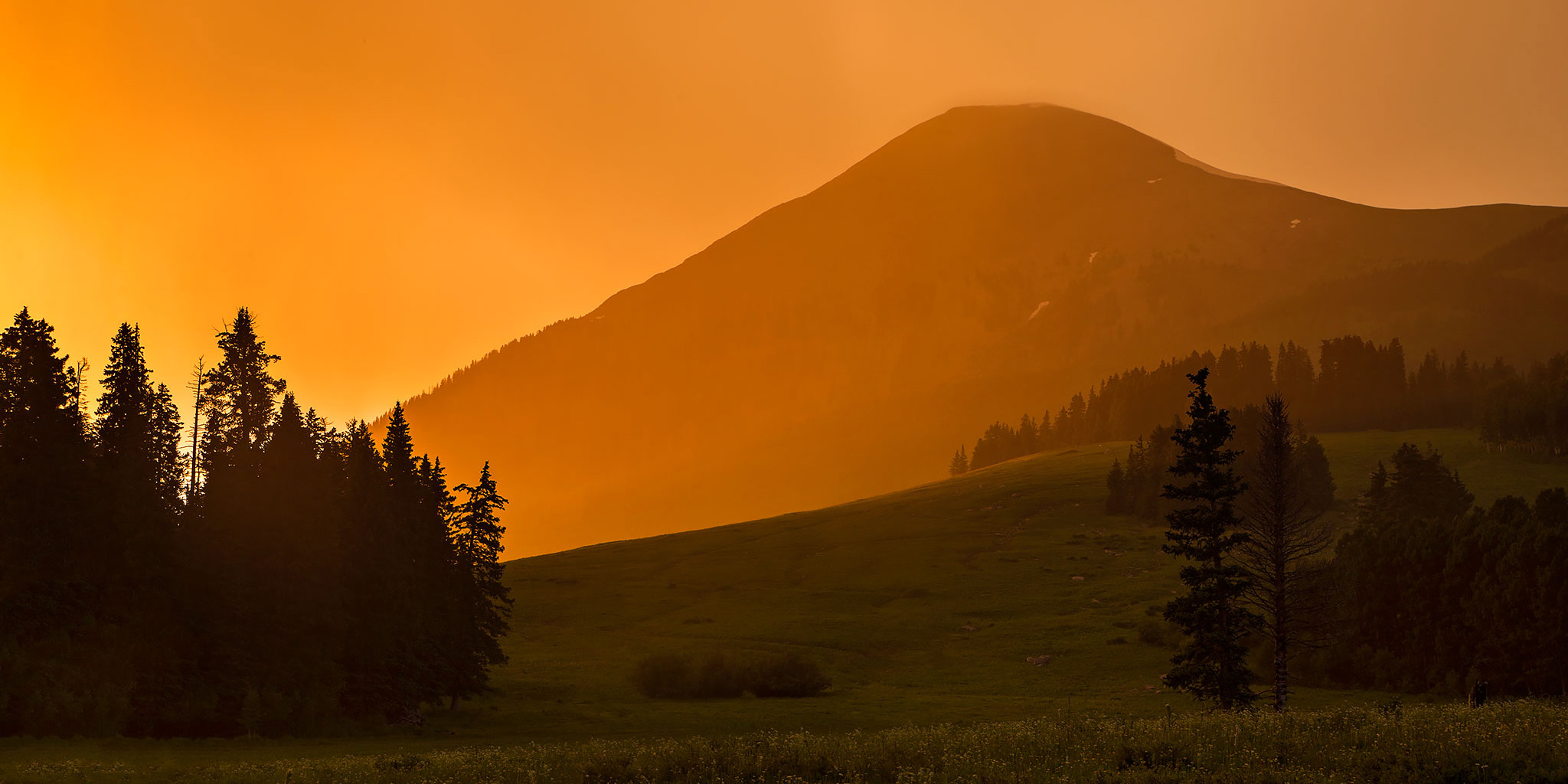
This weekend Diane and I headed to the La Sal Mountains near Moab to spend the Fourth of July weekend hiking and camping. I had intended for this to be a peak-bagging trip, but unfortunately the stormy weather would only allow me to climb Mount Tukuhnikivatz this time. Even though I didn’t get to climb more mountains this trip, we did have a nice relaxing time at camp, did a little exploring in the Jeep and I was able to photograph some nice sunrises and sunsets, thanks to the weather.

4 Comments