Heart of the World | Wednesday, February 26, 2025
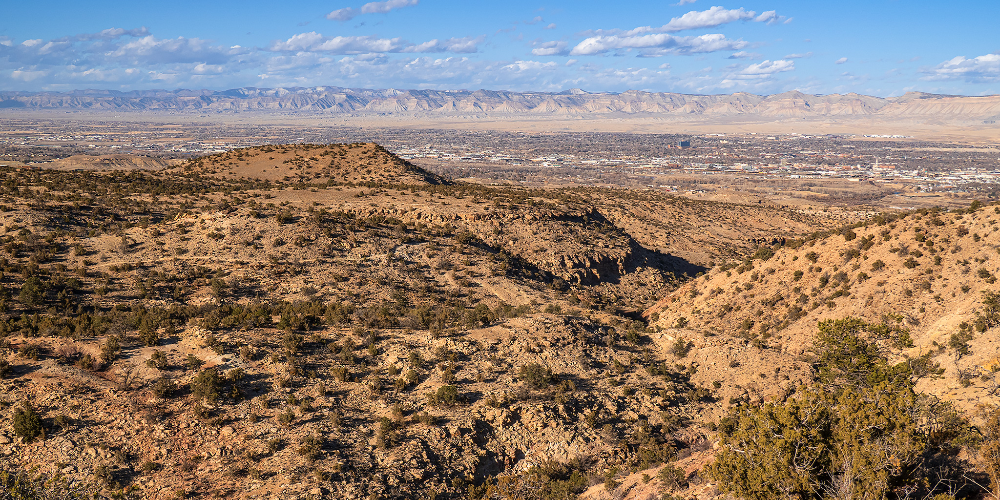
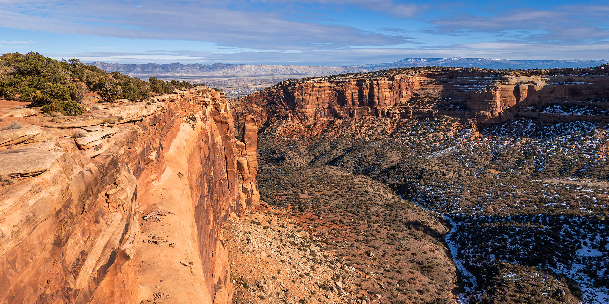
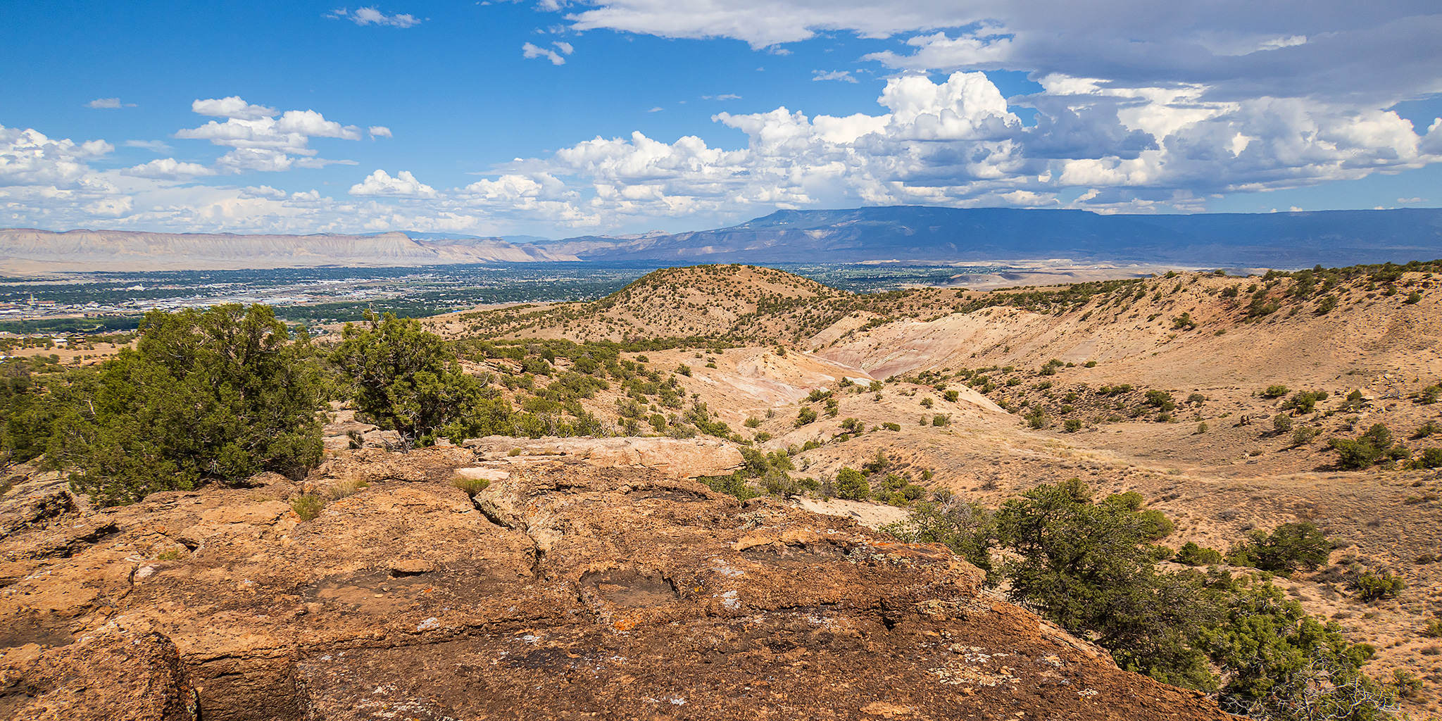
When I left from work this afternoon the clouds over the Grand Valley were looking nice so I made a last minute decision to head up into the Colorado National Monument so I could take some photos from the overlooks and continue working on my Heart of the World project. After driving to Fruita I looped back to Grand Junction via Rim Rock Drive through the park and went for a few walks on short trails from the road including Otto’s Trail, the Coke Ovens Trail and the Ute Garden Interpretive Trail. It was a nice way to spend a couple hours after work as the days continue to get longer.
Leave a Comment