Press "Enter" to skip to content

Tag: gps

Kokopelli Loops: Steve’s Loop

Wednesday, March 2, 2016

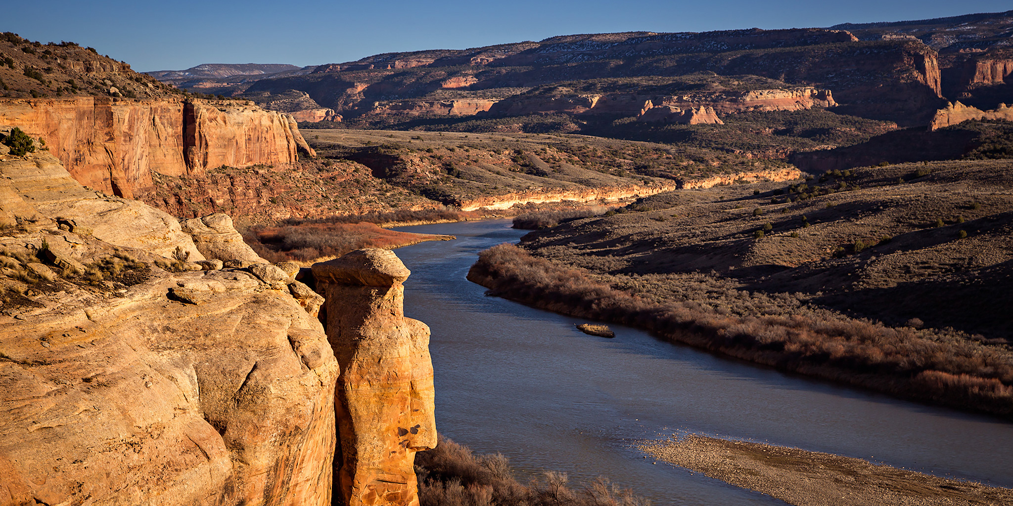
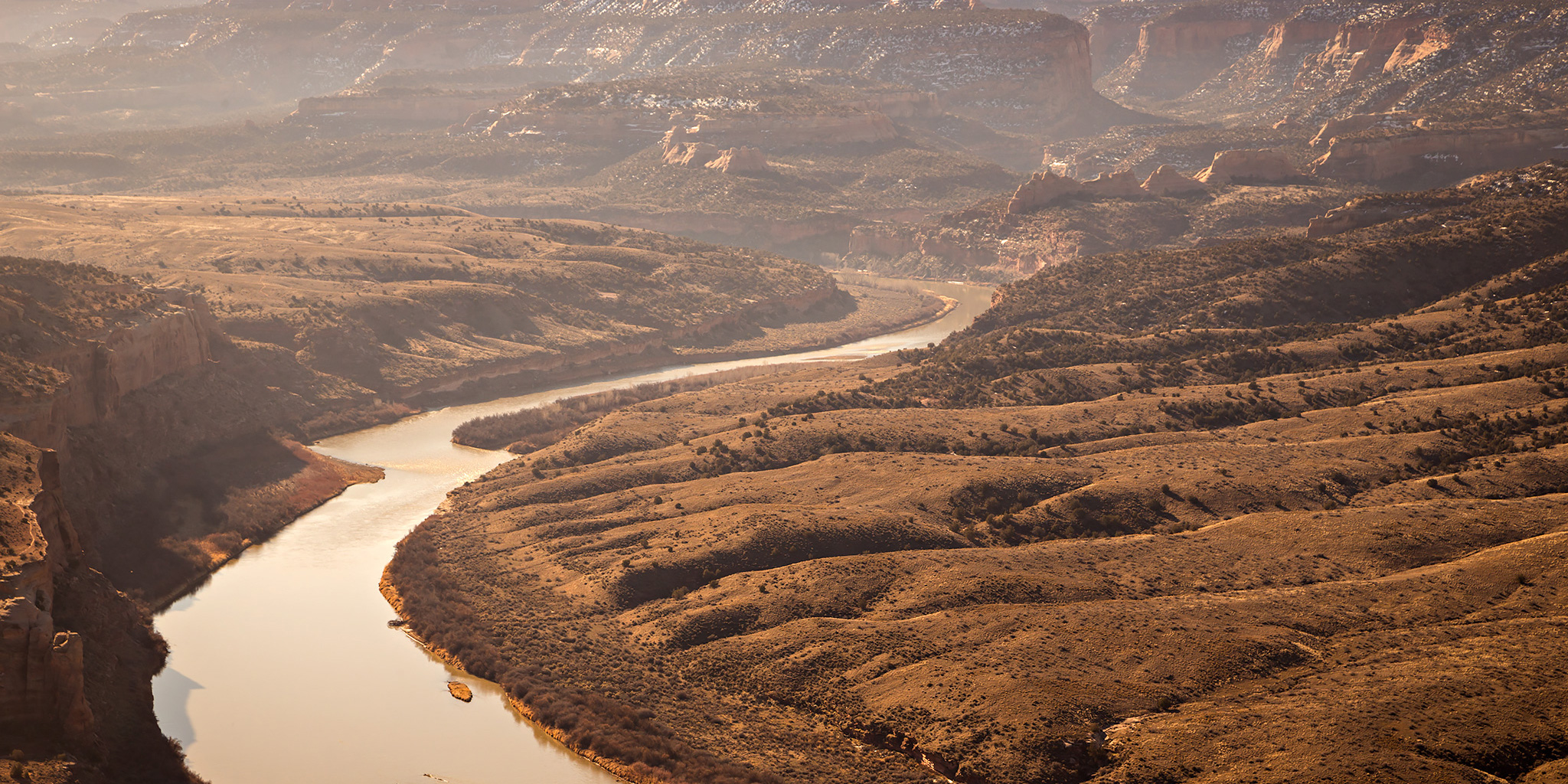
After hiking Mack Ridge on Sunday I’ve been motivated to continue hiking the rest of the trails in the Kokopelli Trail System near Loma that I have not been on before. With the weather being nice this week and days getting longer I decided to try and squeeze in a short loop after work today. After looking at a map I settled on Steve’s Loop since it looked like it would offer great views over the Colorado River near sunset and would be short enough to complete before it got dark out.

Leave a Comment

Mack Ridge

Sunday, February 28, 2016

After spending Saturday at Arches National Park I decided to stay close to home on Sunday and just go on a short local hike in the morning. I was originally thinking about hiking in the Book Cliffs, but thought it still might be a bit too muddy there with the recent melting snow so instead I headed west to Mack to hike something in the Kokopelli Trail System. While I have ridden the Rustler’s Loop and Horsethief Bench trails on my mountain bike before, I have neglected hiking the other trails that are out there, especially the ones closer to Mack.

Leave a Comment

Little Wild Horse Canyon & Bell Canyon

Saturday, January 30, 2016

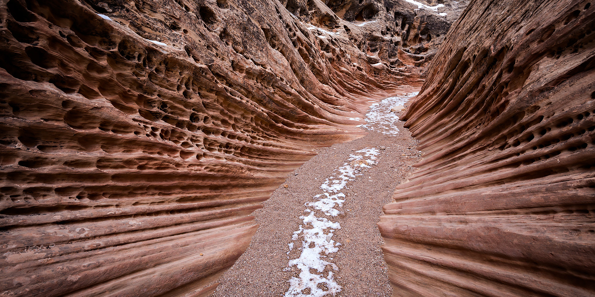
Years ago I tried hiking into Little Wild Horse Canyon and Bell Canyon, which are slot canyons that cut through the San Rafael Reef near Goblin Valley State Park, but I was chased away by thunderstorms that day and have never returned to try again. Since that time the popularity of these slot canyons have exploded, which is part of the reason I had never bothered to return. I finally decided that it was time to head back this weekend to hike these San Rafael Swell classics. I was hoping that we wouldn’t run into the large crowds that these canyons attract since it’s the middle of winter, and we didn’t. We would only pass one single hiker during our entire hike and that happened on the old road used to connect the two canyons together to form a loop.

1 Comment

Devil’s Canyon Finale

Saturday, January 23, 2016

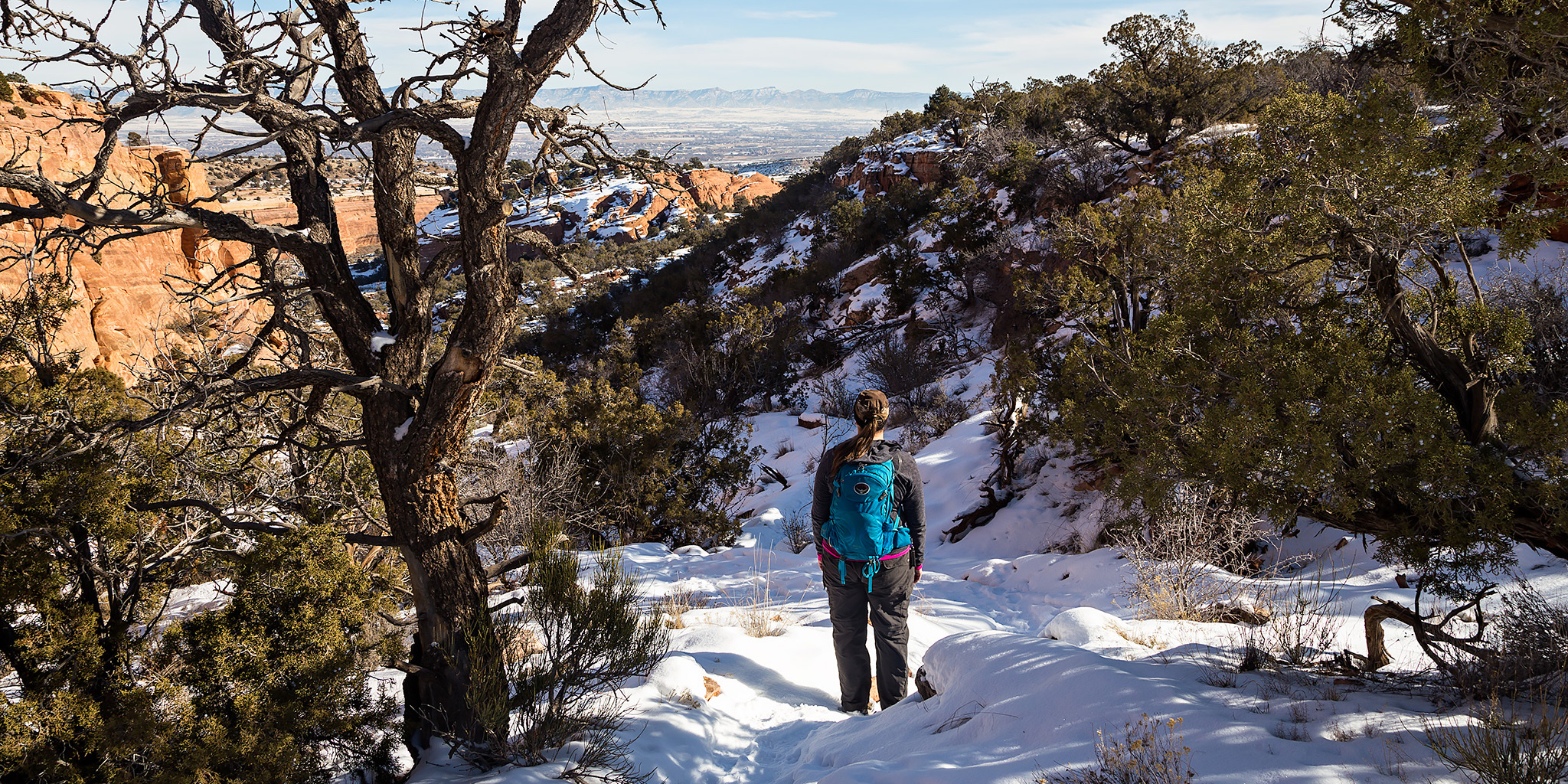
Late this morning Diane and I headed back to the mouth of Devil’s Canyon just outside of Fruita so I could finish hiking a few of the trail segments that I had not been on before. We ended up making a big loop that was about 6.5 miles in length with a stop at a nice overlook into Devil’s Canyon. While most of the trails were still snow-covered, especially higher and on the north side of the cliffs, there were other sections that had melted off entirely. Early in our hike those sections were frozen, but on our way back to the trailhead we encountered a few muddy areas that had started melting in the sun and the above-freezing temperature.

2 Comments

Kodels Canyon Trail System

Saturday, January 16, 2016

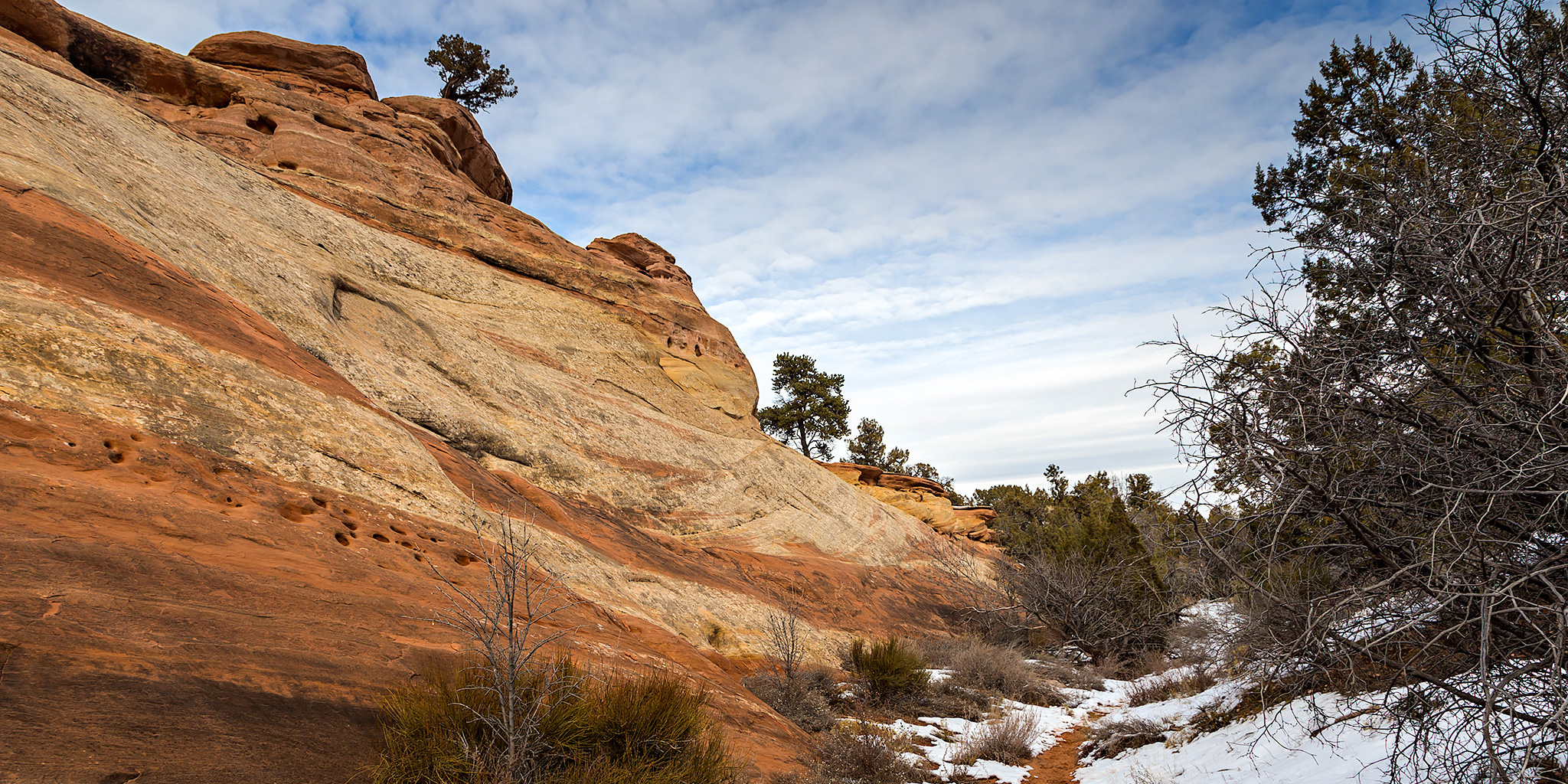
We were originally planning to drive down to Ouray this morning for the annual Ice Festival, but Diane wasn’t feeling very well when we got up so we stayed home. Instead, I headed out this afternoon to get a little local hiking in at the McInnis Canyons National Conservation Area trails near Fruita. I have hiked a few of the “K” trails near the mouth of Kodels Canyon in the past but had not been on all of them, so I decided to try and check out the rest. I started from the Kodels Canyon Trailhead along the highway and ended up hiking all of the remaining “K” trails that I had not been on before. The length of the hike ended up being just under 5.5 miles. The temperature outside was a little bit above freezing and I was glad that most of the trails were still covered with a layer of packed snow or I probably would have had to deal with hiking in the mud. Much of the day was overcast and a little gloomy but the sun did show up for a little while and brought a little blue sky, too. I didn’t take many photos on this hike because of the overcast conditions, but I did take a few snapshots along the way when the sun was out.
Leave a Comment