Press "Enter" to skip to content

Tag: devils canyon

Devil’s Canyon Finale

Saturday, January 23, 2016

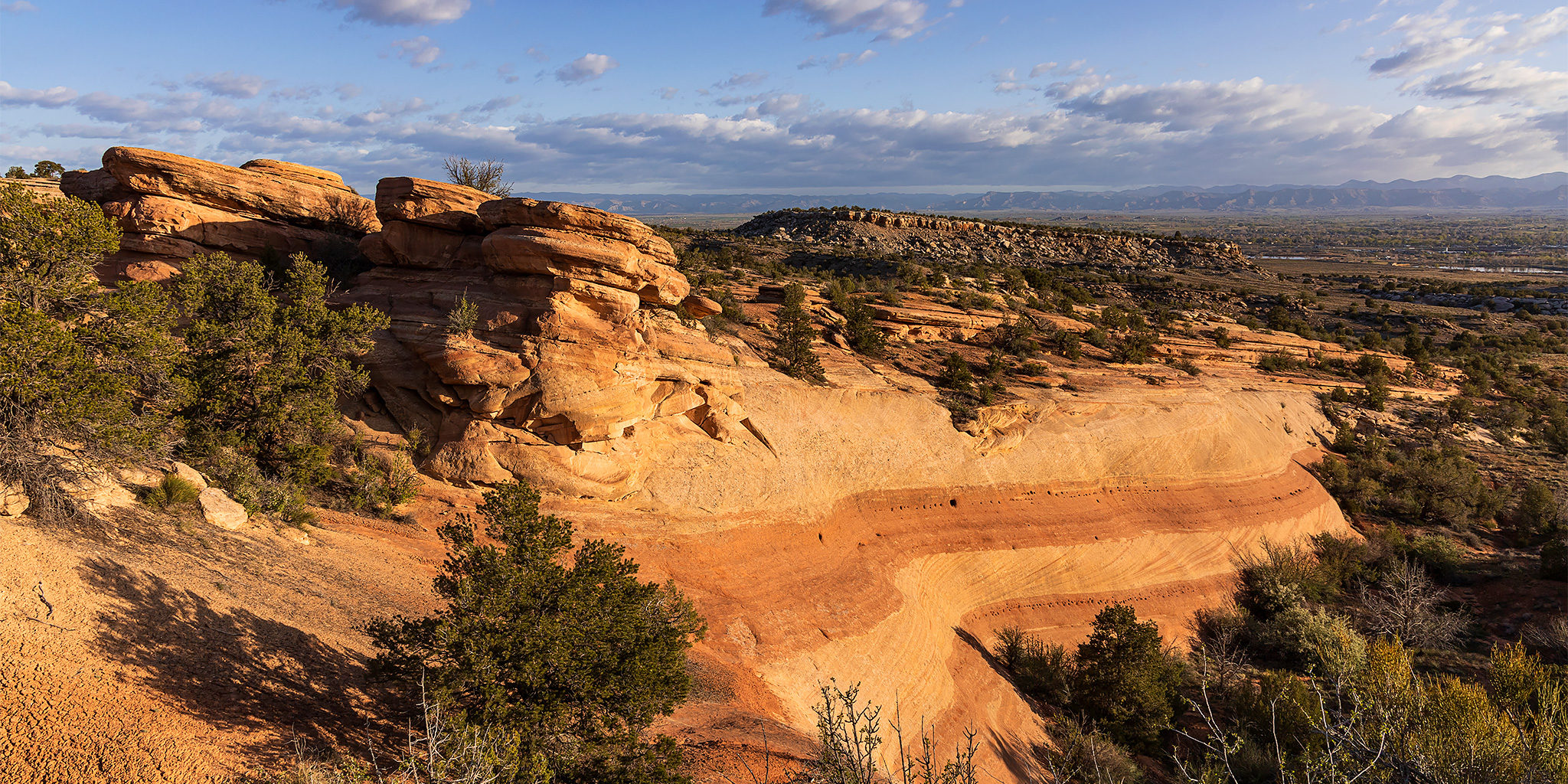
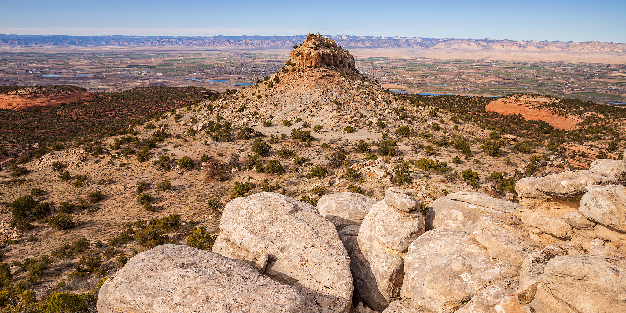
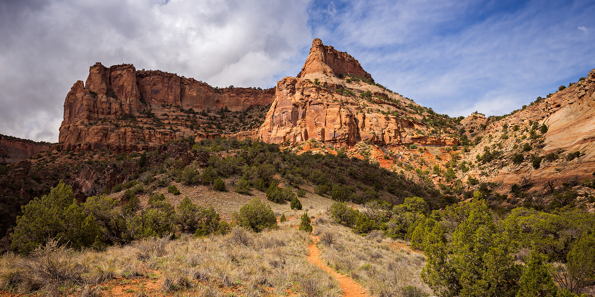
Late this morning Diane and I headed back to the mouth of Devil’s Canyon just outside of Fruita so I could finish hiking a few of the trail segments that I had not been on before. We ended up making a big loop that was about 6.5 miles in length with a stop at a nice overlook into Devil’s Canyon. While most of the trails were still snow-covered, especially higher and on the north side of the cliffs, there were other sections that had melted off entirely. Early in our hike those sections were frozen, but on our way back to the trailhead we encountered a few muddy areas that had started melting in the sun and the above-freezing temperature.

2 Comments

Devil’s Canyon Trails II

Sunday, December 20, 2015

Since I haven’t been travelling much lately (and I hope to fix that next weekend with a Christmas weekend trip to Moab), I have been trying to get out to hike more of the local trails we have here in the Grand Valley the past couple of weeks. This morning Diane and I headed back to the Devil’s Canyon trail system in the McInnis Canyons National Conservation Area and hiked another five mile loop. Here are a couple of pictures I snapped along the way.

Leave a Comment

Devil’s Canyon Frontcountry

Thanksgiving | Thursday, November 26, 2015

For Thanksgiving Diane and I had originally planned to hike a seven mile loop through Devil’s Canyon in the morning. However, since Diane had forgotten her rain jacket at home and there were rain and snow storms scattered throughout the valley, we decided to just stick to the frontcountry trails near the mouth of Devil’s Canyon in case we needed to make a quick retreat back to my Jeep at the trailhead. We would encounter a few snowstorms throughout the morning, but they didn’t get us very wet. Since the clouds and light were looking pretty nice this morning we headed over to the Cowboy Hat Tower first so I could get a few photos of this geologic feature.

Leave a Comment

Colorado National Monument Traverse II

The Monument from Top to Bottom | Black Ridge Loop
Saturday & Sunday, March 28-29, 2015

After completing a traverse across the face of the Colorado National Monument last year I decided that I wanted to put together a longer loop through the Monument to hike this year. The route I strung together begins at the Kodels Canyon trailhead outside of the Monument near Fruita and climbs up the historic Fruita Dugway trail where it connects with the Black Ridge Trail. The Black Ridge trail is the highest trail in the Colorado National Monument topping out at just over 6,700 feet. Since the trailhead is at about 4,700 feet, this route ascends over 2,000 feet of elevation gain while climbing from the lower part of the Monument to the higher part. After following the Black Ridge Trail to it’s end at the Upper Liberty Cap trailhead we would then follow the entire Liberty Cap trail back down to the Wildwood trailhead. Since this route is about 18 miles in length, I thought it would make a nice overnight backpacking trip so that we could take our time and spend a night in the Monument. I stopped by the Visitor’s Center on Friday and picked up a backcountry camping permit so that we could start the hike bright and early on Saturday morning.

Leave a Comment