Press "Enter" to skip to content

Tag: columbine pass

( ЯR ) The Rimrocker Trail: Montrose to Moab

Getting Lost in the West End: Across the Uncompahgre Plateau & La Sal Mountains
Friday – Sunday, June 7-9, 2024

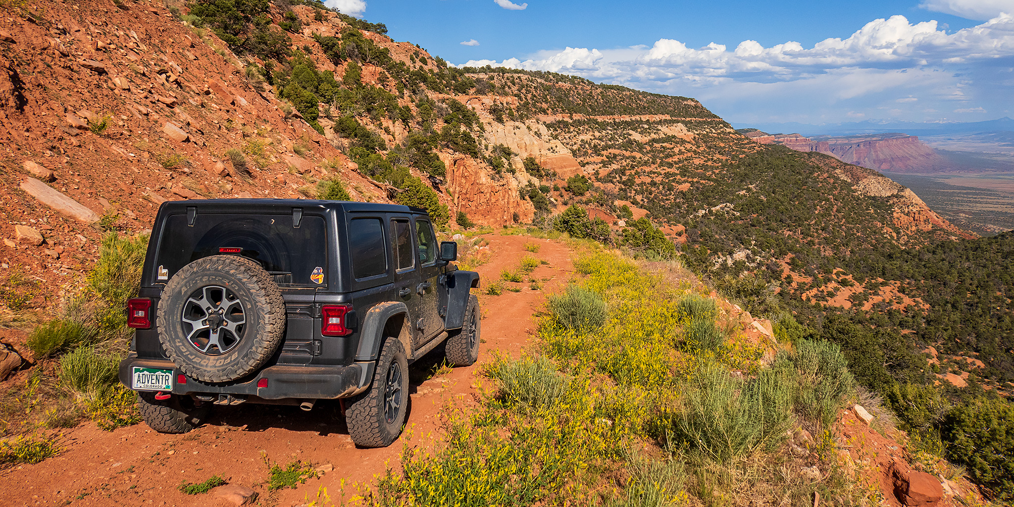
After having an amazing time on the river in Cataract Canyon last weekend, I wanted to take it easy and stay a bit closer to home this weekend. With warmer temperatures in the valleys and still too much snow in the high country for me, I thought this might be a great opportunity to finally take a scenic weekend drive across the Uncompahgre Plateau and La Sal Mountains from Montrose to Moab on the Rimrocker Trail, while also taking the time to stop for a few short hikes and side trips along the way. The Rimrocker Trail was created in 2016 by linking up existing roads in this remote area of Western Colorado, many of which I have already driven over the past twenty years, especially while I was working on mapping out a 4X4 route of the Tabeguache Trail and Paradox Trail. But even though I have already driven many of these roads before, it’s been a long time and I really don’t remember very much about them, so I was looking forward to the refresher on this 160 mile route. So after spending Friday evening in Black Canyon of the Gunnison National Park, I drove across the Uncompahgre River Valley and found a campsite near Temple Park and the beginning of the Rimrocker Trail so I could get an early start on Saturday morning.

Leave a Comment
Grand Basin Traverse: The Basins of Mineral Creek

Black Bear Pass to Columbine Lake
Saturday, August 17, 2019

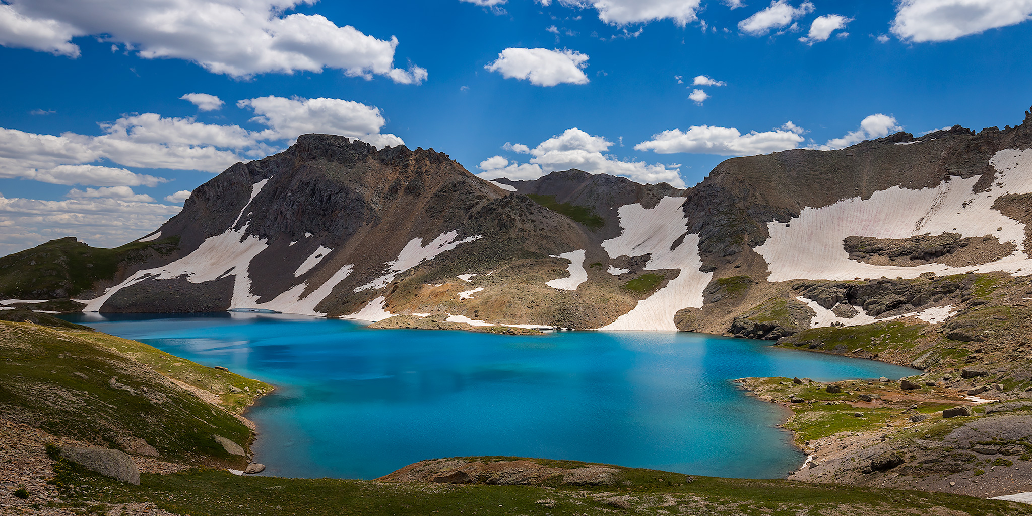
This weekend I decided to skip the peak bagging for a minute and just wanted to go on a nice hike in the high country through the upper basins of Mineral Creek near Silverton. I have wanted to hike to the turquoise blue waters of Columbine Lake for a long time but I didn’t really want to follow the steep trail that everyone else does, so I decided that I would drive up to Black Bear Pass and then hike over to the lake by passing through a couple different high alpine basins and maybe stop at a couple of passes along the way. Now after hiking this route I’ve got to say that it was pretty amazing! One of the nice things about this hike is that it was all above treeline and pretty much stayed between about 12,600 feet and 13,000 feet. There were a lot of ups and downs along the way, but it didn’t feel like I was climbing a steep mountain and the route offered spectacular views in all directions right from the beginning. This Grand Basin Traverse takes you through Mineral Basin, Porphyry Basin, Silver Cloud Basin and Mill Creek Basin on your way to Columbine Lake. Along the way you have the option of climbing up to two different passes for views into Mud Lake Basin and Bridal Veil Basin, plus you will also pass by Porphyry Lake, Bullion King Lake and a number of other small tarns along the way. This is definitely the way to hike to Columbine Lake!

8 Comments

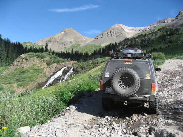
Silverton to Grand Junction

IntrepidXpedition 2007 | Day 6
Tuesday, July 24, 2007

On Tuesday, I had to start making my way to Grand Junction to attend the annual UFWDA Conference, but I didn’t have to arrive until later in the evening, so I had a bit of time to do some exploring before heading out. I woke up super early again to get squeeze as much exploring in during the daylight that I could. My plan was to take Ophir Pass over to Telluride and then to take Imogene Pass back to Ouray before heading north. Unfortunately, because of the storms I mentioned from the previous night, my plans would soon change.

Leave a Comment