Friday – Sunday, October 22-24, 2021
This weekend I decided to stay just a little bit closer to home than I have the past couple of weekends, and headed over to the west side of the Green River so I could spend some time in the Horseshoe Canyon and Labyrinth Canyon Wilderness areas. I was hoping to check out a large Barrier Canyon Style pictograph panel that I had not been to yet and then hike to an overlook of the Bowknot Bend Saddle from Keg Point. I left right after work on Friday afternoon and headed west into Utah. I stopped for gas in Green River and then followed the Hans Flat Road until it was dark out and found a spot to spend the night. There was a pretty nice sunset during the drive, but I didn’t stop to take any photos this time. I was anticipating it to get a bit cold overnight, but surprisingly it never got down below 50 degrees and was very comfortable. On Saturday morning I was up shortly before sunrise and then made my way over to the starting point for my first hike.
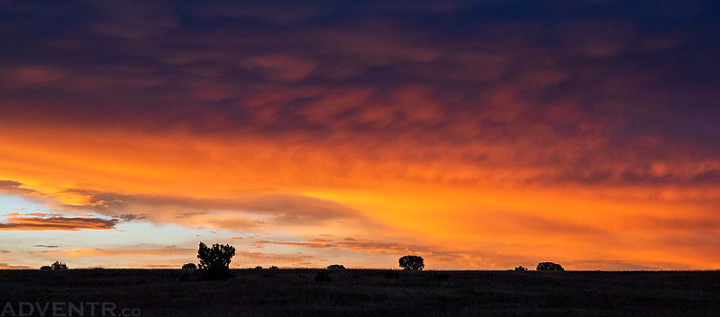
The sky was on fire when I started hiking early on Saturday morning.
The clouds were looking pretty cool, too.

The colors continued to change as the sun got higher in the sky.

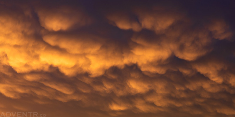
A closer look at the bottom of the clouds.
Once the sun was up the sky stayed overcast for the rest of the morning as I wandered through the canyons. This ended up being a good thing when I was photographing the pictographs later.
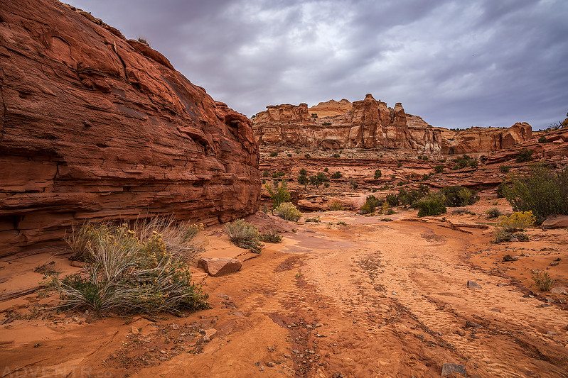
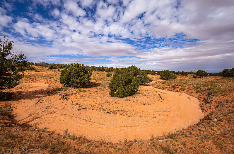
Exploring canyons on a cloudy morning.

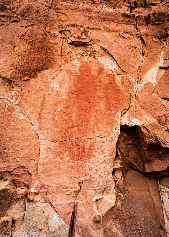
This was the first pictograph that greeted me as I entered the site I had come to see. If you look closely, it has an interesting snake-like petroglyph carved into its torso.
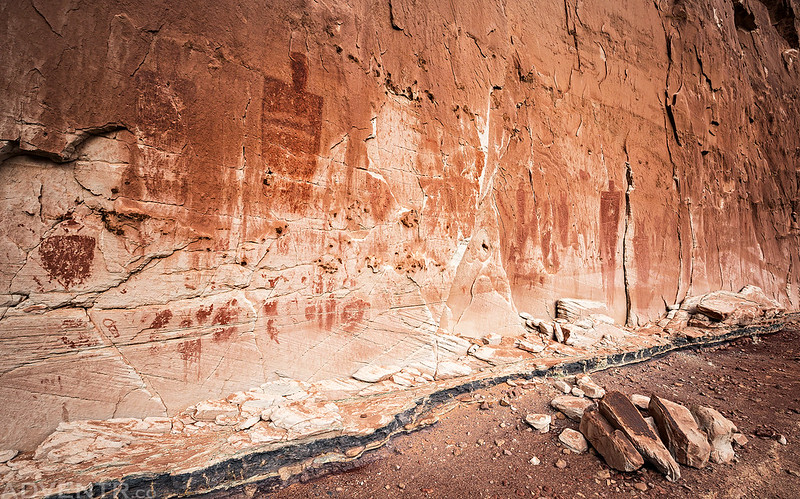
The Good Gallery
A close-up shot of the large anthropomorph on the left.

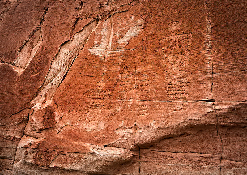
This was a very large panel of pictographs and was probably an amazing sight in its heyday!

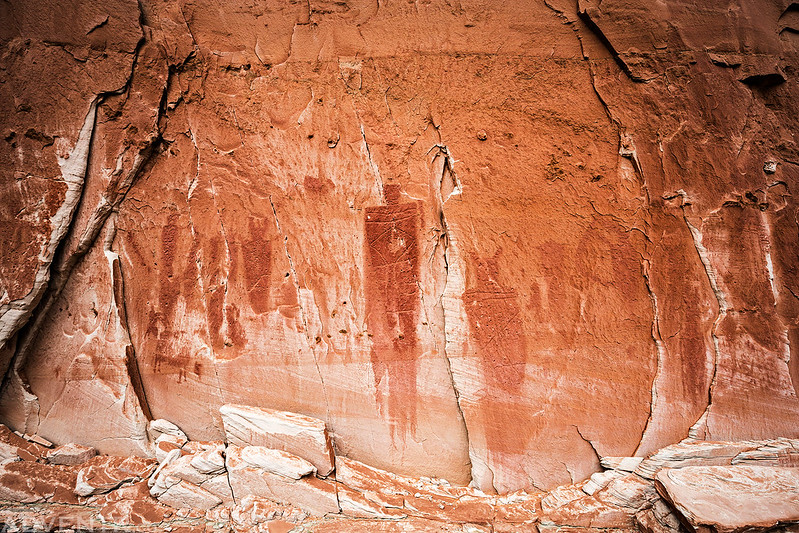
This large figure on the right side was at least 8 or 9 feet tall.

Besides the pictographs, there were a number of very cool petroglyphs as well, but most of them were hard to see and photograph.

These pictographs at the lower left corner of the panel look newer than the rest.

Muddy Pothole Reflection

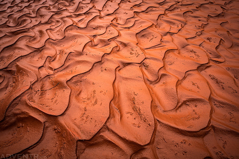
Mud Ripples
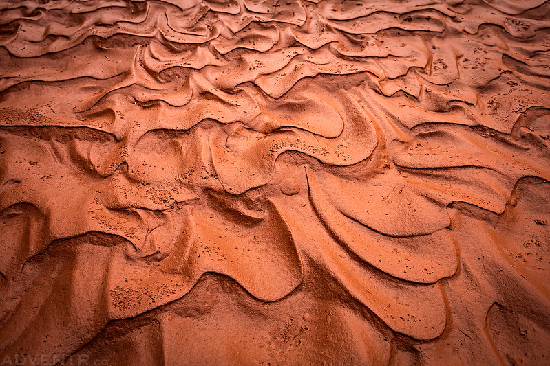
Ripples in the Wash
While hiking back the sun came out a couple of times and lit up the landscape.

Wash Curve & Clouds
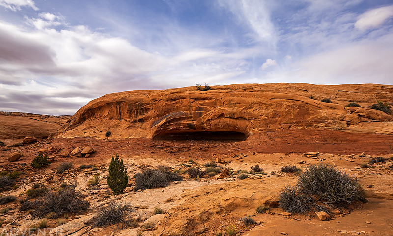
When I returned to my Jeep I drove over to Keg Knoll and found a campsite nearby for the night. After eating a late lunch and resting for a bit, I went on another short hike in the late afternoon to the rim of Horseshoe Canyon so I could find the cave that Bill Tibbetts and Tom Perkins hid out in when they were on the run from the law in 1924. Now I think I’m going to have to reread Last of the Robbers Roost Outlaws: Moab’s Bill Tibbetts since I don’t really remember much about it…
Hiking cross-country to the rim of Horseshoe Canyon.

The Outlaw Cave

Tibbetts Cave
My Home, Bill Tibbetts, Sept 15 1924

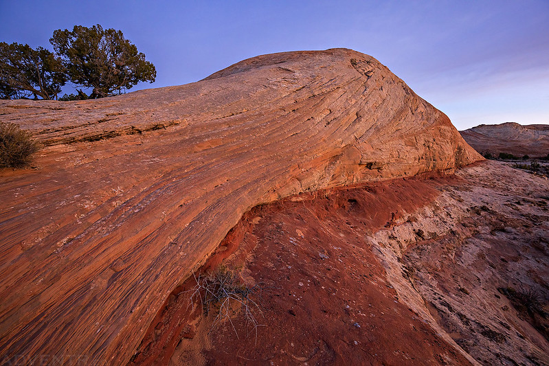
The clouds looked pretty interesting when I returned back to my Jeep.

I was hoping the clouds would clear out a little this evening and there would be a nice sunset, but they stuck around and the sunset was a bust. I read a little, listened to a few podcasts and then went to bed early.
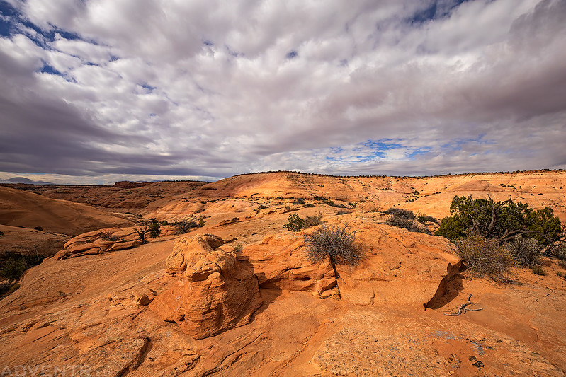
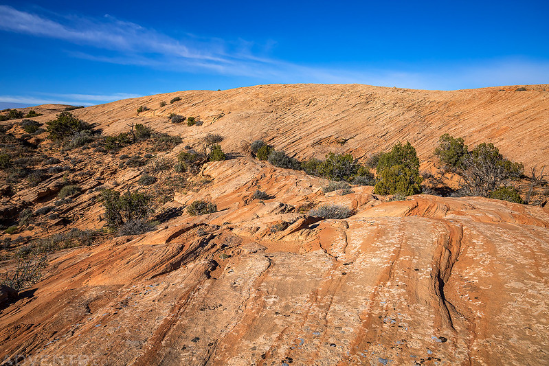
On Sunday morning I woke up much earlier than I had on Saturday and drove the rest of the way to the end of the road on Keg Point in the dark. Today I was planning to hike out to an overlook of the Bowknot Bend Saddle and figured I should get an early start to try to make it out there shortly after sunrise, so I started hiking about an hour before sunrise with the help of my headlamp. The route was easy to follow at first, following an old closed road, but once it left the road I was glad that it was starting to get light out so I could see where I was going since I headed cross-country over sandstone domes, across the sandy desert and down through a cliff band on an old cattle trail.
About 20 minutes before sunrise the alpenglow lit up the sandstone domes around me.
Hiking across the desert at dawn.

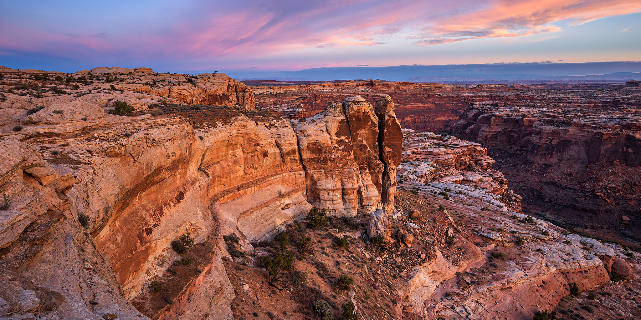
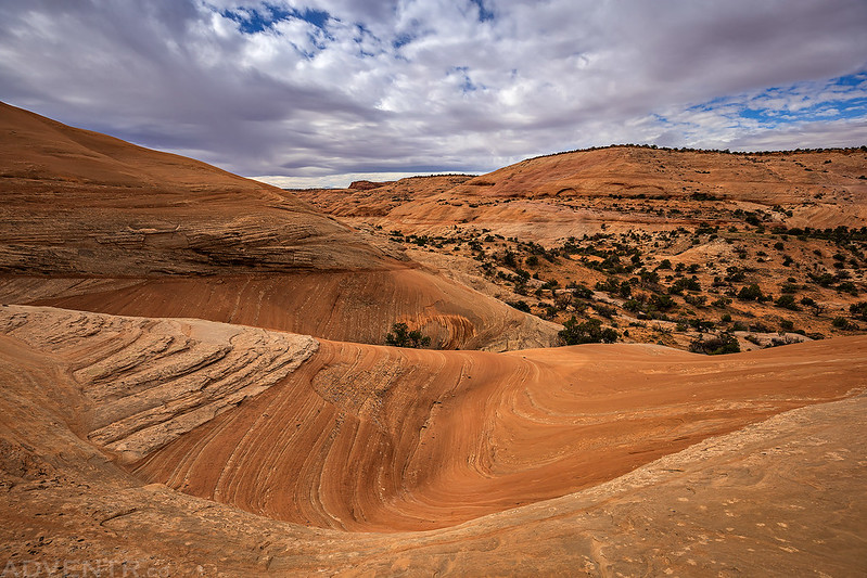
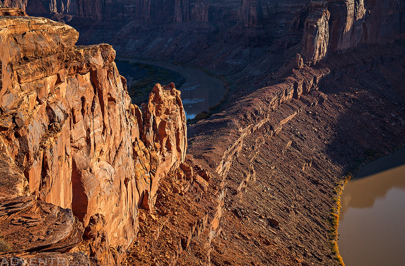
I reached the cliff band that I needed to descend just as the color in the sky was looking nice over the Labyrinth Canyon Wilderness.

Descending down through the cliff band on an old cattle trail.

I reached the rim of Labyrinth Canyon and followed it to the overlook. I sure have been spending a lot of time near the Green River these past few months! (Green River Lakes, Red Canyon & Browns Park, Whirlpool Canyon, Island Park & Split Mountain)
Potholes everywhere!

These two large potholes look like they hold water most of the time.

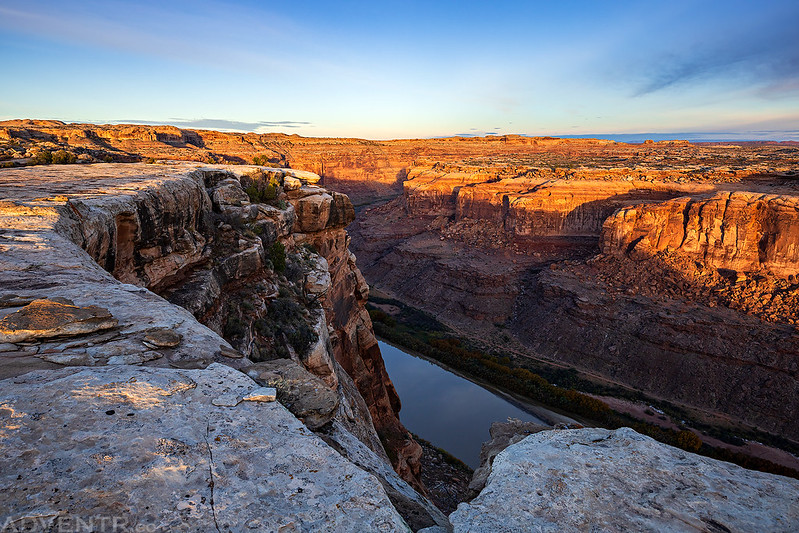
Soon I reached the overlook of the Bowknot Bend Saddle and could go no further.
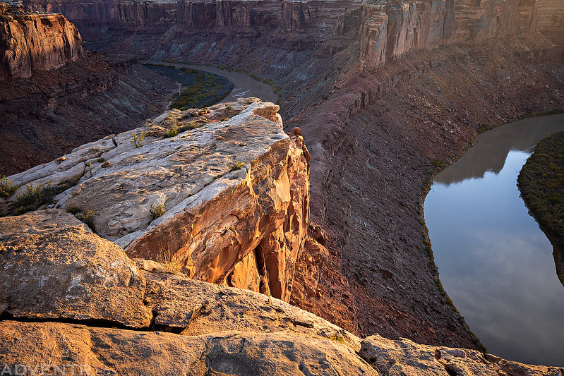
The Bowknot Bend Overlook
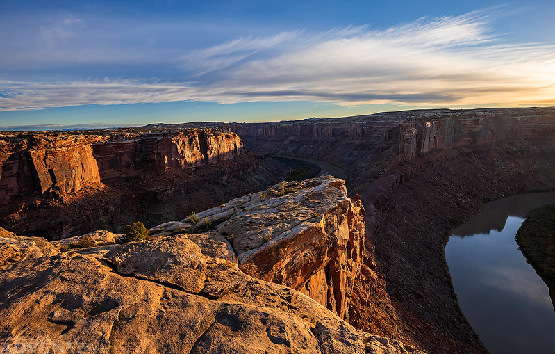
The Bowknot Bend Saddle from a different angle.
After spending some time at the overlook I turned around and hiked back across the desert to my Jeep.
It had been a nice weekend on the west side of the Green River and I’m really hoping to spend more time in this area soon!