La Sal Mountains Peak Bagging | South Mountain from Medicine Lakes
Friday – Sunday, July 10-12, 2020
This weekend I continued my annual tradition of spending an early summer weekend peak-bagging in the La Sal Mountains near Moab. Usually I try to make this my first peak-bagging trip of the season, but this year that honor goes to Trappers Peak in the Flat Tops. Since I have now hiked all of the popular peaks in the La Sal Mountains, it is time to get started on the more obscure ones, and this trip I thought it was finally time I went for Mount Mellenthin (12,645), also known as Middle La Sal Peak, which is the second tallest peak in the La Sals after Mount Peale. I was originally planning to hike Mount Mellenthin after floating the Moab Daily a couple of weeks ago, but I had to cancel those plans when I came down with some sort of allergic reaction after getting off the river. I was looking forward to getting back into the La Sals this weekend, especially since there was a heat wave in the area and I hoped to stay cool at higher elevations!
While researching hiking routes for Mount Mellenthin I got the impression that most people hike over to the summit by following the south ridge from between Mount Peale and Mount Tukuhnikivatz, however I was more interested in taking a shorter route from the Geyser Pass area. After looking over a couple possible routes on the map including Gold Basin Ridge to the west and Dark Canyon to the east, I settled on starting from Geyser Pass and hiking straight up the north ridge since it looked like it would be the shortest and most direct route to the summit.
I left after work on Friday afternoon, grabbed a quick dinner and then drove over through Castle Valley to the La Sal Loop Road which I followed to the Geyser Pass Road. The lower end of the Geyser Pass Road was probably the most wash-boarded I have ever seen it, so the going was a little slow at first, but it got a little better after passing the winter parking area. After crossing over Geyser Pass I followed the road past the Moonlight Meadows Trailhead and found a great spot to camp just above the pass. I had a great view from camp and an excellent view of Mount Mellenthin on the other side of the pass. I was able to study the ridge I planned to hike in the morning, and while most of it looked just fine, there was one steep section that concerned me a little, but I still decided to go for it.
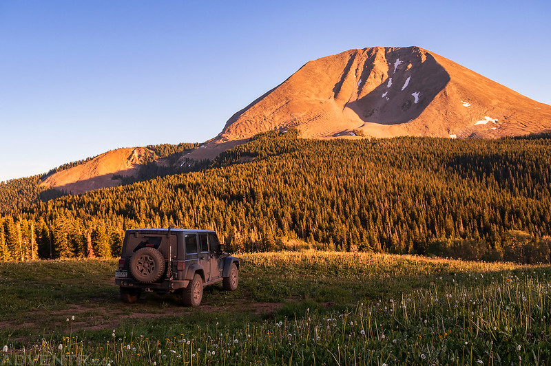
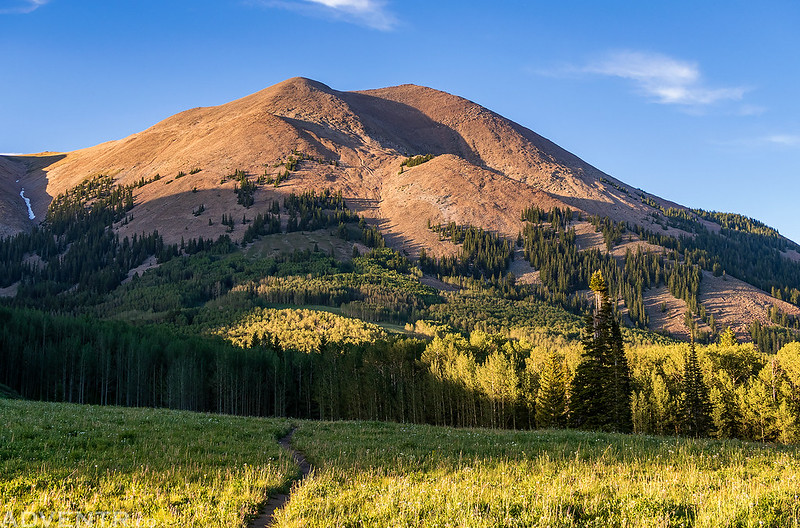
The evening view of Mount Mellenthin from my campsite above Geyser Pass. That curved ridge on the right side between the light and shadow is the route I planned to follow in the morning.
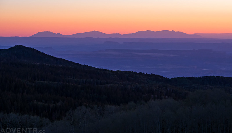
There was a hazy view of Junction Butte and Elaterite Butte to the south of the Island in the Sky in the distance with the Henry Mountains as the backdrop.
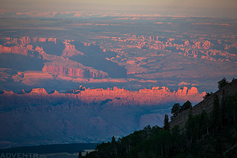
The hazy view just over Moab wasn’t too bad, either.
I took a short walk from camp while trying to avoid the mosquitoes and came across this nice view of Mount Tomasaki.
Here’s a view from Geyser Pass to the Henry Mountains on the horizon. There are a lot of great places to explore between here and there!
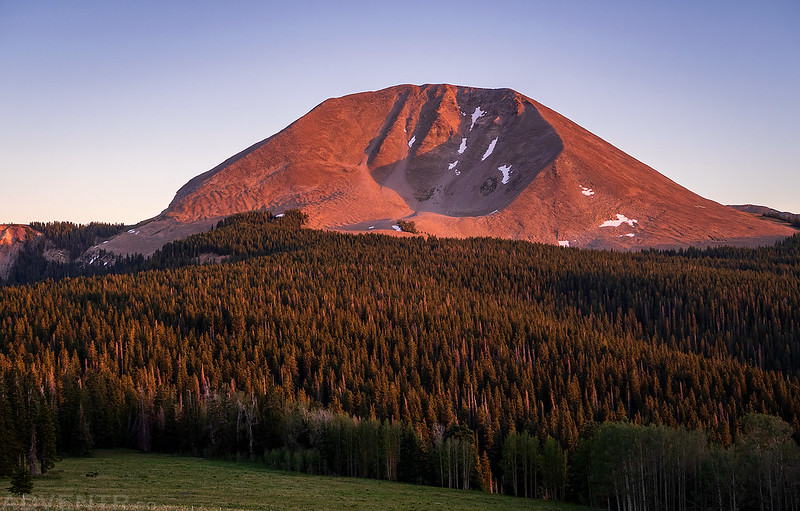
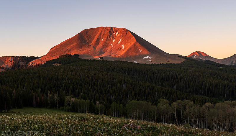
Mount Mellenthin at sunset.
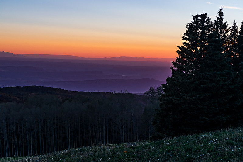
I’m guessing all the haze in the air was smoke from a wildfire somewhere, because the colors in the sky to the west after sunset were pretty vibrant.
One last view of the Middle La Sal Mountains before it was time to turn in for the night.
While I wanted to get started hiking early in the morning, with the good weather predicted this entire weekend I didn’t need to get an alpine start in the dark, so I slept in until around sunrise and then drove down to the pass to get started. I wasn’t feeling the greatest when I woke up this morning and was unsure if I really wanted to climb a peak today, but I decided to go anyway and am glad that I did because once I started moving I started to feel much better. Leaving from Geyser Pass I had to hike through the trees for about a mile to reach the rocky talus below Mount Mellenthin, I thought I might have to bushwhack through this area, but ended up picking up a trail that I was able to follow almost all the way with minimal bushwhacking.
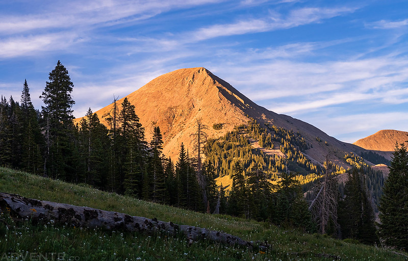
I woke up shortly before sunrise on Saturday morning and was able to watch the light strike the other side of Mount Mellenthin before heading back down to Geyser Pass.
Beautiful morning light bathing the canyonlands landscape below.
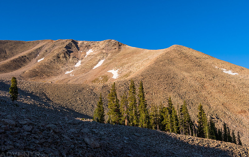
Out of the trees and ready to start hiking up the rocky ridge to the summit.
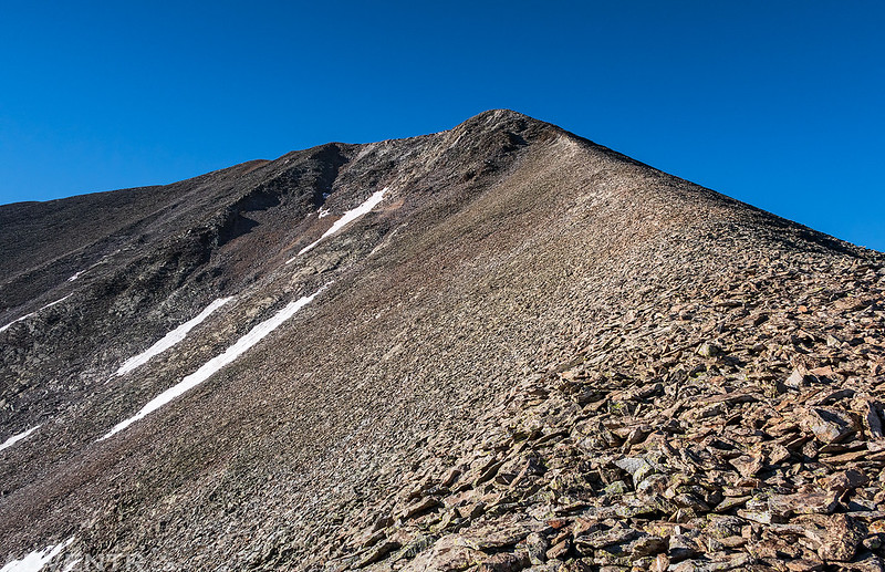
Hiking up the ridge was a lot easier than I thought it was going to be. The one steep section I was concerned about was even easy to get up and it turned out to be a pretty pleasant hike.
As I climbed higher I had a nice view over Geyser Pass to the northern La Sal peaks.
The final part of the ridge to the summit was narrower with drop-offs on both sides, which was fun to follow.
Here’s a view from the summit looking towards Spanish Valley and Moab far below.
Mount Peale looked really nice from this side, too.
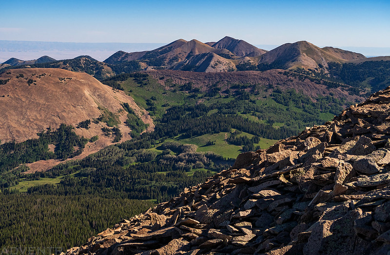
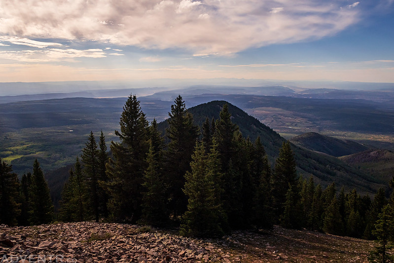
I walked over to the southern end of the summit for a view over the rest of the middle La Sal Mountains to South Mountain and all the way to the Abajo Mountains on the horizon.
Another view to the north from the summit. That rocky bump on the left is Haystack Mountain.
Following the narrow ridge back down from the summit. Although the hike up the ridge was pretty easy, all the loose rocks made it more difficult on the way down as the all seemed to move under my feet, so I had to be more careful.
After returning to my Jeep I did a little exploring by vehicle as I made my way over to La Sal Pass for the rest of the evening. I found a campsite just above the pass and took a little nap.
Later in the evening I went for a short hike along the Burlfriends Trail below Mount Peale.
Then I walked down to Medicine Lake to watch the sunset below South Mountain, which I planned to hike to the summit of on Sunday morning.
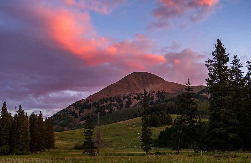
The clouds behind Mount Tukuhnikivatz turned a nice magenta color for a little while.
When the color in the sky was gone, I hiked back up to my camp and went to bed. I slept pretty well this night and was up before sunrise on Sunday morning. It was a bit warmer out this morning, even at this elevation. I drove down to Medicine Lake to take a few photos of the sunrise and then started hiking to the summit of South Mountain (11,817). I don’t think this peak gets climbed very often, but this time there was a good trail to follow all the way to the saddle just southeast of the peak. From there is was an easy hike up the ridge to the summit.
The sky behind Mount Tukuhnikivatz was looking good again this morning.
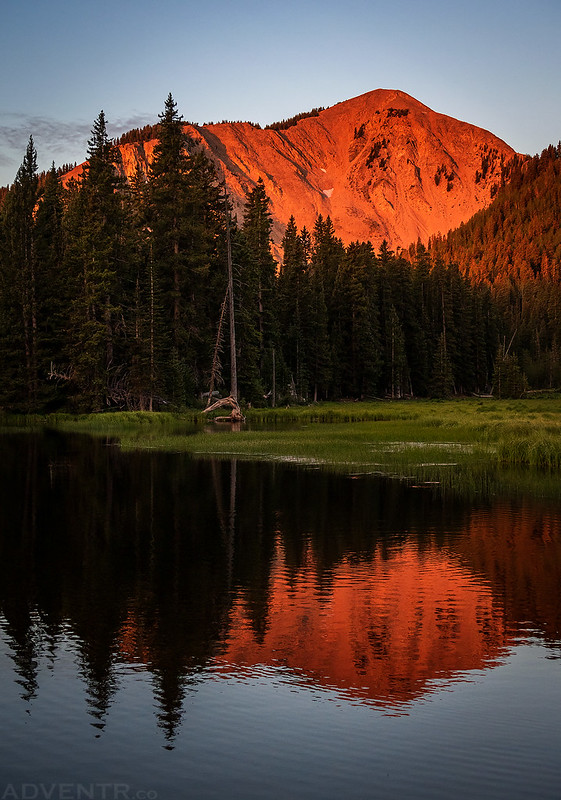
A reflection of South Mountain in Medicine Lake before I started my trek to the summit.
Trail Sign
There were no views from most of the hike to the saddle since the trail was in the trees, but once on the ridge the views opened up nicely!
Clouds and crepuscular rays over Colorado
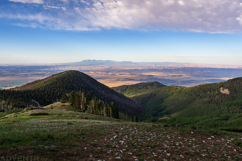
Looking southeast over the West End with Lone Cone just barely visible on the horizon.
As I neared the top of the ridge Mount Peale started to come into view.
From the summit of South Mountain there was a great view over Spanish Valley to Moab.
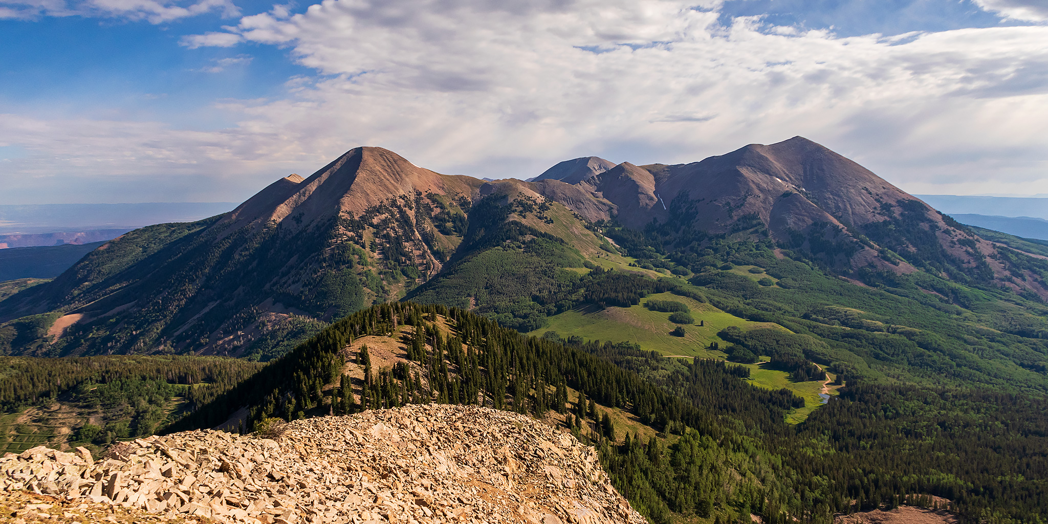
Although you don’t really get any views of the La Sal Mountains during the hike, once you reach the summit you have a pretty awesome view of the mountain range. I really think this might be the best view out of all the La Sal peaks I’ve climbed so far!
Here’s one last view of Mount Tuk before I started hiking back down to the trailhead and started heading home. It was another amazing weekend in the La Sal Mountains!
