Sunday, March 8, 2015
Since I’ve been busy moving these past couple of weeks, we didn’t stray far from home again this weekend. On Sunday morning we woke up early (even after losing an hour of sleep to daylight savings time) and made our way over to the Colorado National Monument to hike a new loop trail I have wanted to try for a while. Ever since I climbed up Otto’s Staircase and visited Otto’s Bathtub last year, I have wanted to combine those trails into a loop across the top of Monument Mesa.
First, we dropped off Diane’s car at the Wildwood Trailhead which is where we planned to end the hike at the lower end of the Liberty Cap trail. We arrived just as the sun struck the face of the Monument, so I took a few quick photos before we left.
Liberty Cap above the trailhead.
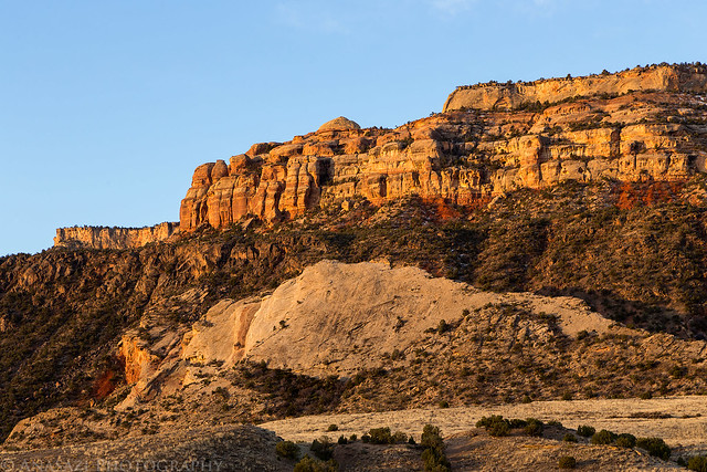
Liberty Cap View by IntrepidXJ, on Flickr
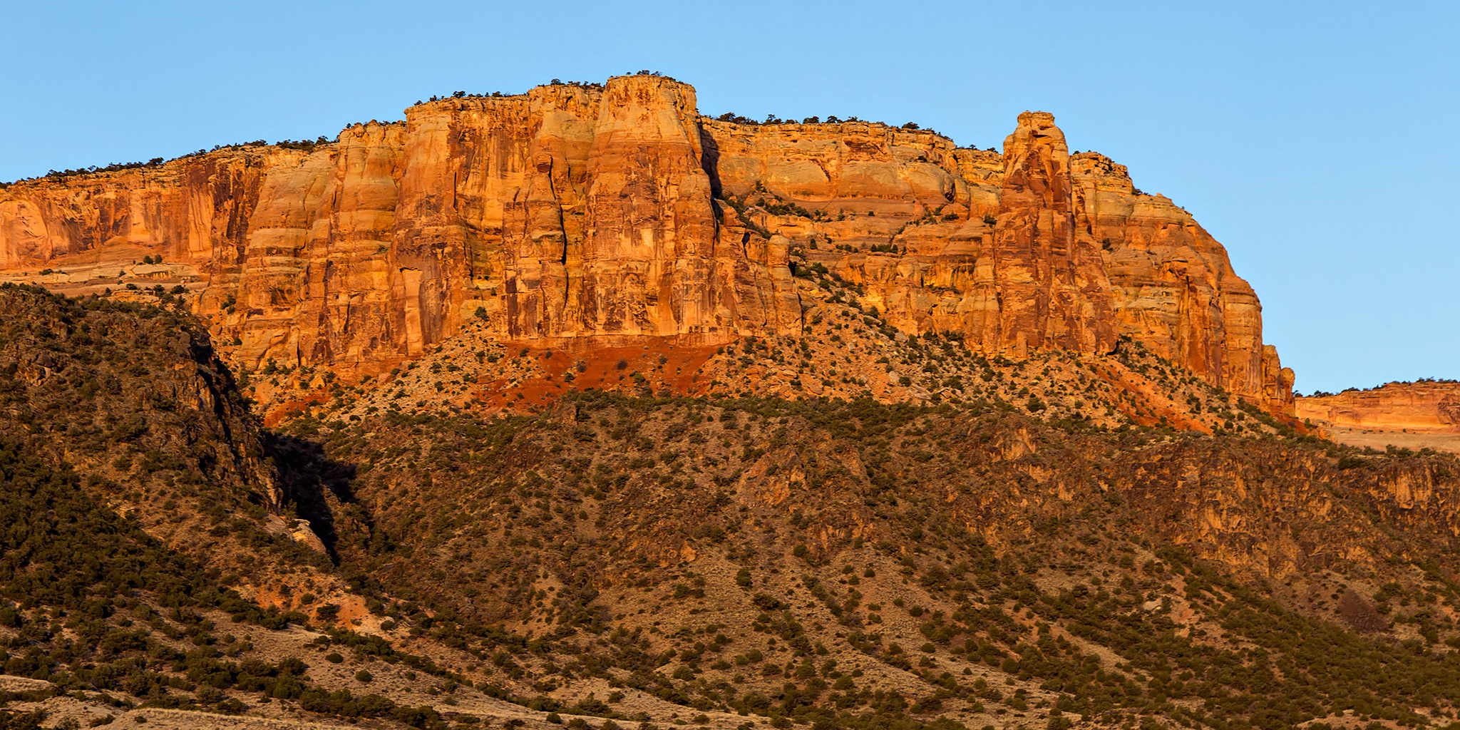
Warm light on the face of the Monument.
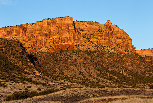
Face of the Monument by IntrepidXJ, on Flickr
After leaving the Wildwood Trailhead in my Jeep, we drove over to the White Rocks Trailhead where we would be starting the hike from.
Following the trail into Gold Star Canyon. The mouth of Gold Star Canyon is in the shadows on the left. The trail we followed climbed steeply to the right onto the Precambrian Bench.
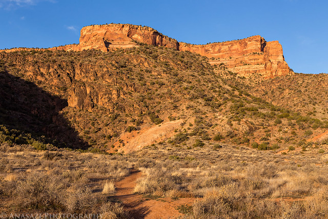
Start by IntrepidXJ, on Flickr
Great views all around in Gold Star Canyon from the top of the Precambrian Bench.
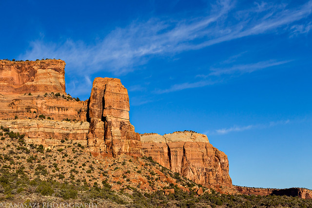
Gold Star View by IntrepidXJ, on Flickr
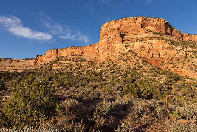
Gold Star Canyon by IntrepidXJ, on Flickr
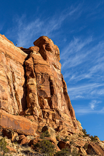
Rock Tower by IntrepidXJ, on Flickr
We followed the Bench Trail, which we had used on our Colorado National Monument Traverse last year, until we reached the faint side trail that would take us to the base of Otto’s Staircase.
Diane stops to check out the view as we follow the slickrock to the beginning of the staircase.
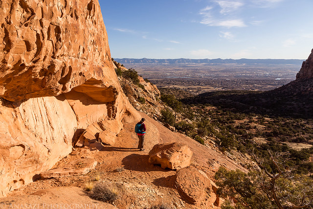
Valley View by IntrepidXJ, on Flickr
Soon we found the beginning of the staircase hidden behind a tree. First you need to climb on the stack of rocks at the bottom to reach the metal post that has been pounded into the rock.
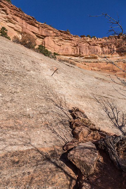
First Step by IntrepidXJ, on Flickr
Then you need to pull yourself up onto the metal post so you can reach the shallow steps that are carved into the sandstone above it. It’s trickier than it looks, especially for those of us who are not great climbers to begin with.
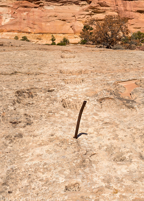
Transition by IntrepidXJ, on Flickr
Looking back down over the steps I had just climbed up. From this point you need to find your way up a few more steep cliff bands. There are two more sections that have steps carved, so you need to keep a lookout for those.
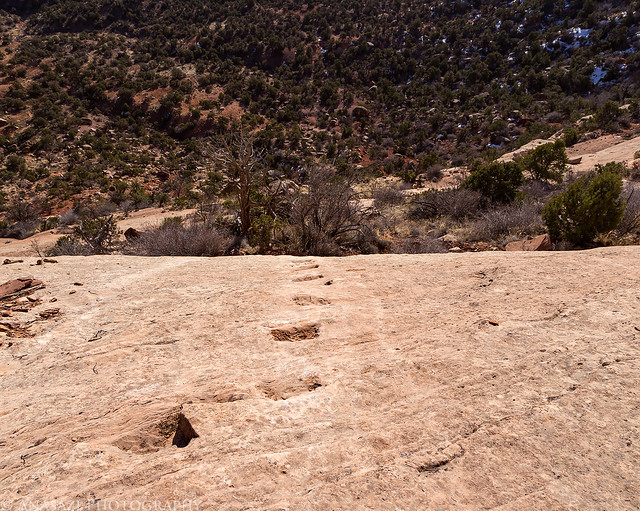
Ottos Staircase by IntrepidXJ, on Flickr
Diane on the last ledge before the final climb to the top.
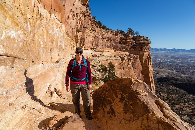
Top of the Staircase by IntrepidXJ, on Flickr
Looking for handholds as she climbs the last section.
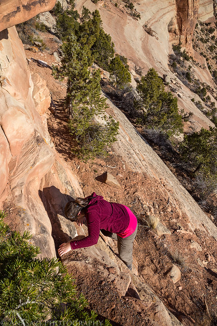
Final Step by IntrepidXJ, on Flickr
A nice view from the top of Monument Mesa. You can actually see the whole route we climbed up in this photo.
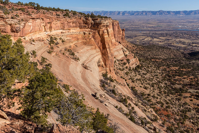
View from the Top by IntrepidXJ, on Flickr
The same photo as above with the approximate route we climbed.
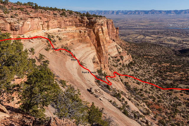
Approximate Route by IntrepidXJ, on Flickr
When we reached the top of Monument Mesa we cross-country hiked through the Pinyon-Juniper forest until we reached the last sandstone bench that we would have to climb up today. When we reached the top of this bench we had great views over Monument Canyon and over the Grand Valley to the Book Cliffs.
Sandstone monoliths in Monument Canyon.
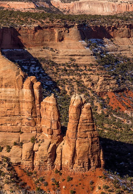
Monument Spires by IntrepidXJ, on Flickr
Diane on the edge. Monument Canyon to her left with Saddlehorn in the distance.
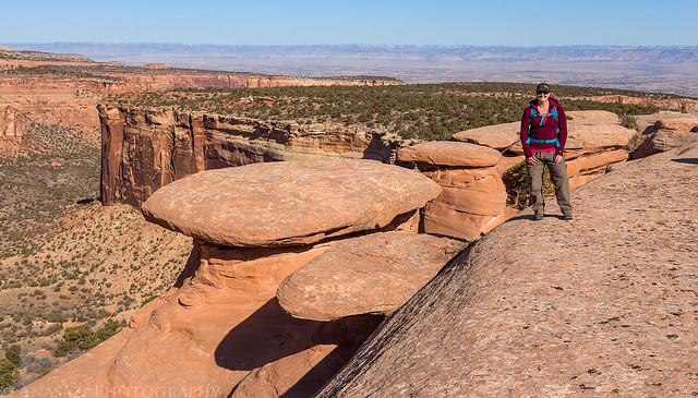
At the Edge by IntrepidXJ, on Flickr
We stopped to check out Otto’s Bathtub up here.
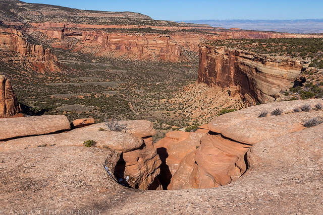
Ottos Bathtub by IntrepidXJ, on Flickr
More steps carved in the side here allowing access to the bottom of the large pothole. There’s another wood post in the sandstone here above the steps in the shadow.
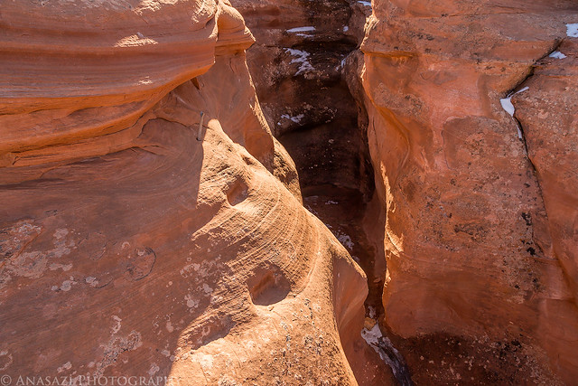
Bathtub Steps by IntrepidXJ, on Flickr
Diane crossing a sandstone bridge on top of the mesa.
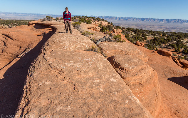
Sandstone Bridge by IntrepidXJ, on Flickr
We dropped down below the top of the bench to visit this nice arch. I’m not sure if it has a generally accepted name, so I just call it Otto’s Arch.
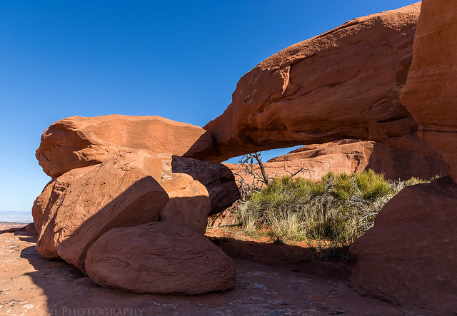
Ottos Arch by IntrepidXJ, on Flickr
Another smaller arch along the way.
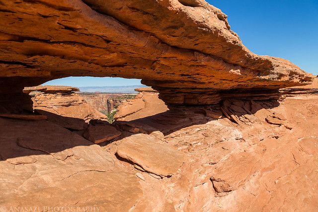
Little Arch by IntrepidXJ, on Flickr
This is a pretty cool area to explore. I really need to catch a sunrise and sunset up here sometime.
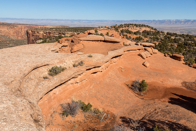
On Top by IntrepidXJ, on Flickr
After exploring the area a bit we picked up the Liberty Cap trail which we would follow back down the the trailhead. The first few miles to the edge are pretty uneventful as you follow an old road, but once you reach the edge things get more exciting on the descent.
Tight switchbacks drop you from the edge of the mesa down to the level with Liberty Cap.
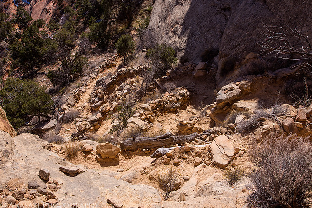
Little Switchbacks by IntrepidXJ, on Flickr
I’ve been to Liberty Cap many times before, so we didn’t stick around here long.
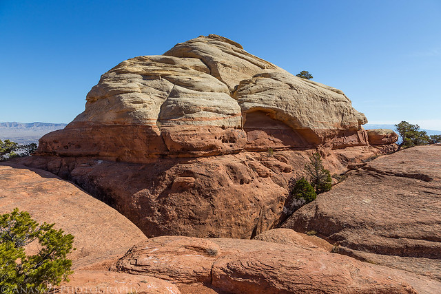
Liberty Cap by IntrepidXJ, on Flickr
View over Ute Canyon.
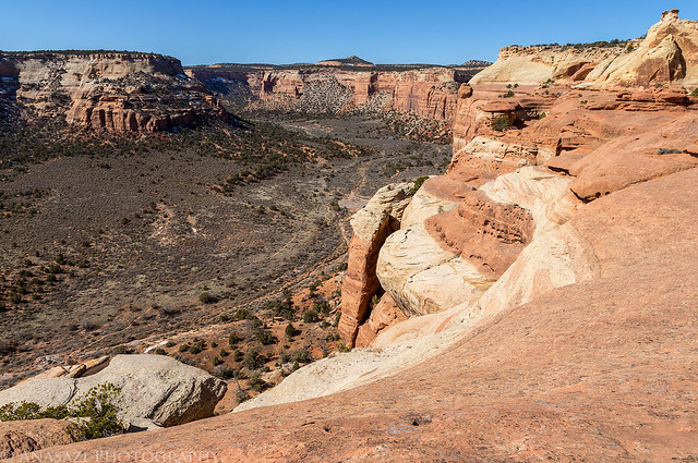
Ute Canyon by IntrepidXJ, on Flickr
Once last photo during the descent of the Liberty Cap trail back into the Grand Valley.
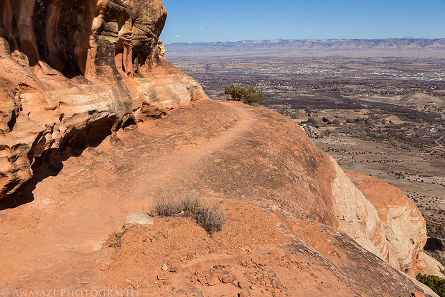
Around the Edge by IntrepidXJ, on Flickr
In total, the hike ended up being about 7.5 miles and we completed it in less than 5 hours. It was a nice loop that visits some scenic areas of the Colorado National Monument, but Diane has informed me that she will not be climbing up Otto’s Staircase again in the future!
I really enjoyed reading your blog about your hike, and the photographs were amazing. I really loved seeing those steps, carved by the ancients. I cannot imagine hiking that trail on a regular basis. I wonder how many lost their lives on this trail. The ascent is unbelievable. Thank you for posting and writing about this amazing site.
Are those moki steps carved by the indigenous? You can find quite a few of those in Arizona leading up all sorts of crazy walls into wild places. Many I wouldn’t try following without climbing gear!
Greatly enjoying browsing through your adventures. Keep them up, you’re fortunate to live near such beauty.
While I have come across many moki steps in southern Utah carved by Native Americans, I believe that these were carved at a more recent point in time. Perhaps by John Otto, who built many of the trails in the Colorado National Monument, or by some early ranchers in the area.