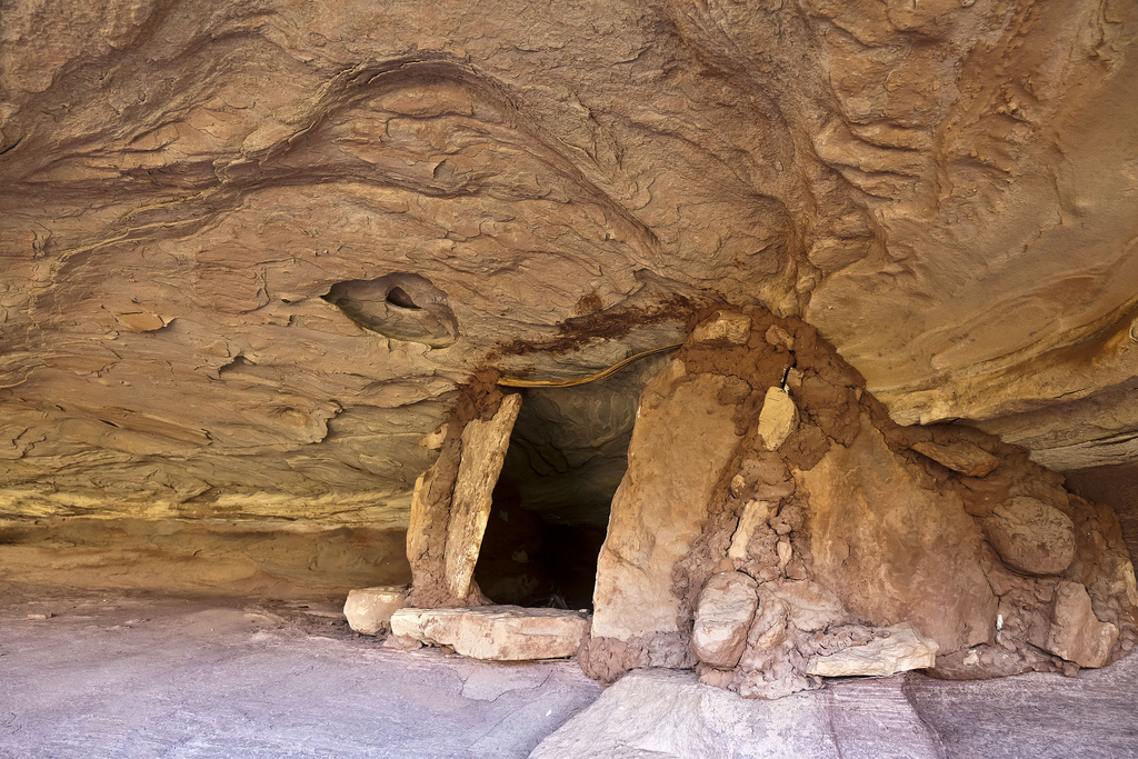
The Maze and the Mesa | Day 3
Monday, April 11, 2011
During our second night camping at Chimney Rock there was much less wind, and I ended up sleeping a lot better. When we woke up in the morning it was also a bit warmer and the wind had completely disappeared. The first thing I did was grab my camera and take a few photos as the sun came up.
The sun rising in the east over the La Sal Mountains lights up Ekker Butte.
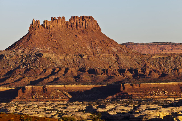
Ekker Butte at Sunrise by IntrepidXJ, on Flickr
Early morning light looking towards the La Sal Mountains casts a blue hue over the different layers of the landscape.
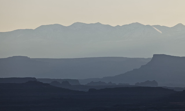
Layers in Blue by IntrepidXJ, on Flickr
These prominent landmarks are known as The Chocolate Drops because they are misnamed on current maps according to some sources. They do look more like Chocolate Bars to me. The Maze Overlook is located right behind them from this angle.
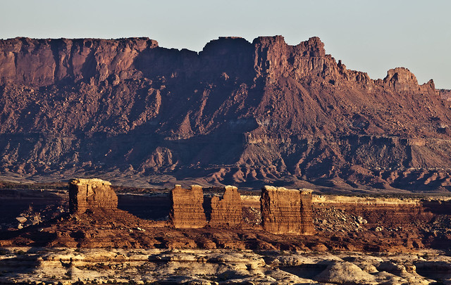
Chocolate Bars by IntrepidXJ, on Flickr
Our campsite near Chimney Rock before packing up and leaving.
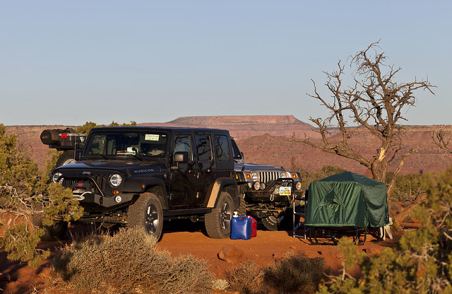
Chimney Rock Camp 2 by IntrepidXJ, on Flickr
Since our permit for the Chimney Rock camp was only for two nights, we packed up camp after some breakfast so that we could move on. Then we drove over to The Doll House so that we could start exploring that area. Our first hike in The Doll House area was the Granary Loop, which gave us a nice view of Surprise Valley on our way to visit a few hidden ruins.
View of The Doll House while hiking The Granary Trail.
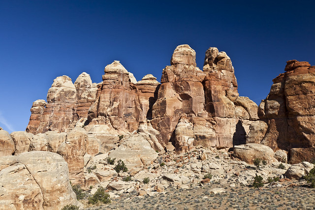
The Doll House by IntrepidXJ, on Flickr
On our way to the granaries, we passed through this small slot. Jared takes my photo as I take his.
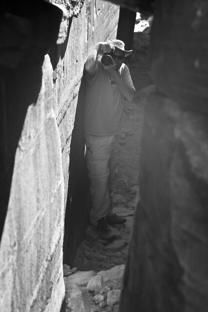
Photos in the Slot by IntrepidXJ, on Flickr
Dave and Jared check out Surprise Valley from above. Look closely and you can see the Colorado River.
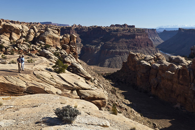
Checking Out Suprise Valley by IntrepidXJ, on Flickr
Three of the four small granaries lined up on one side of the alcove.
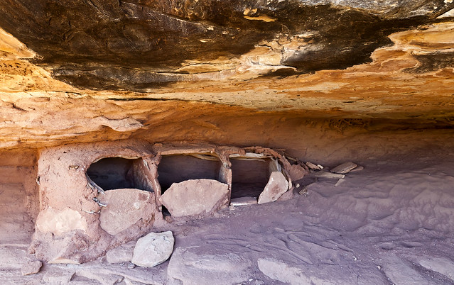
Three Granaries by IntrepidXJ, on Flickr
The one granary by itself on the other side of the alcove converted to black and white.
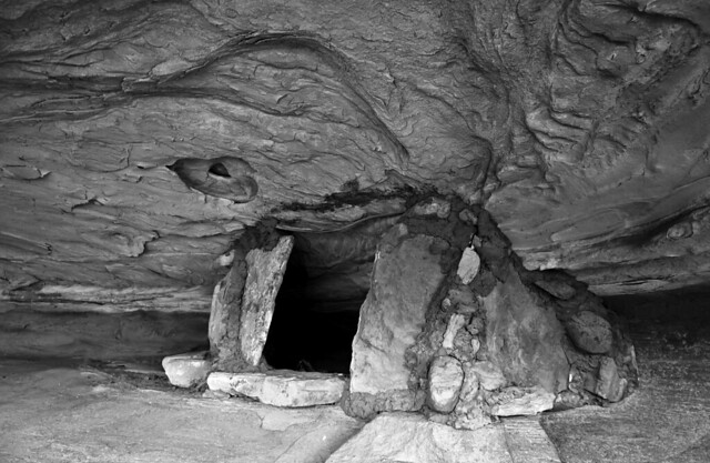
B&W Granary by IntrepidXJ, on Flickr
Here’s all four granaries in view.
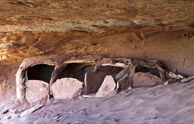
Four Granaries by IntrepidXJ, on Flickr
After checking out the granaries, we completed the loop trail and then hiked out to Beehive Arch along the Colorado and Green Rivers Overlook Trail.
Jared and Dave below the needles in The Doll House area on our hike to Beehive Arch.
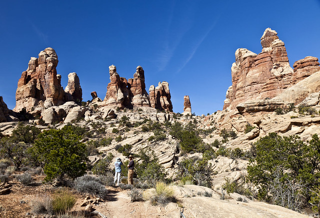
Within the Doll House by IntrepidXJ, on Flickr
A view along the Colorado and Green Rivers Overlook Trail.
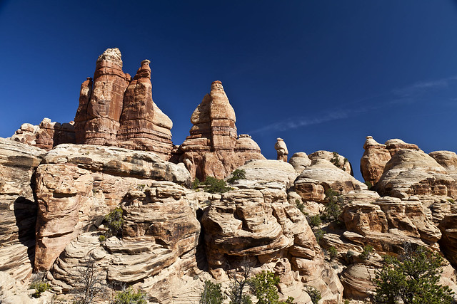
Doll House Needles by IntrepidXJ, on Flickr
A wide view of Beehive Arch.
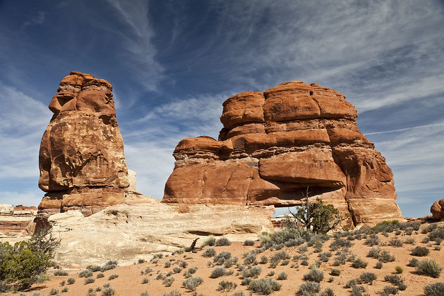
Beehive Arch by IntrepidXJ, on Flickr
A closer look at a different angle.
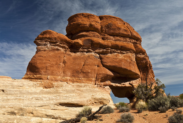
Beehive Arch 2 by IntrepidXJ, on Flickr
Dave climbed up some sandstone for a better view of the area.
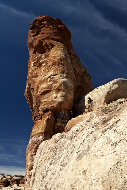
Taking in the View by IntrepidXJ, on Flickr
More needles in The Doll House area on our way back from Beehive Arch.
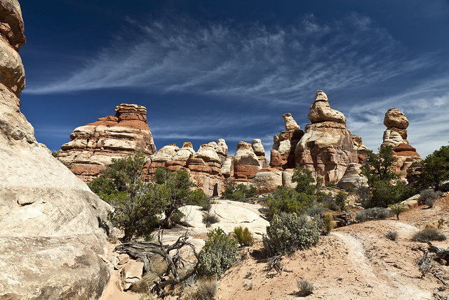
More Needles by IntrepidXJ, on Flickr
Before leaving The Doll House I checked out all three campsites so that I could plan some future trips to the area. Next, we headed back past Chimney Rock so we could setup our last campsite in The Maze at Standing Rock.
My Jeep parked at our campsite near Standing Rock.
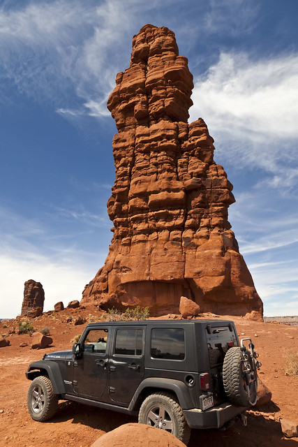
Jeep & Standing Rock by IntrepidXJ, on Flickr
Camp setup under the monolith.
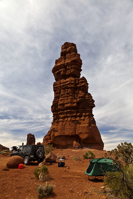
Standing Rock Camp by IntrepidXJ, on Flickr
Once camp was setup we had some lunch and took some photos of the Sun Circle that appeared overhead when a thin layer of clouds blew overhead.
I decided to try my 16-35mm lens for the first time in the field for some nice sunbursts, which I think turned out pretty good.
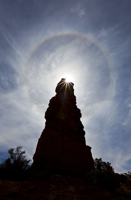
Standing Rock Sun Circle by IntrepidXJ, on Flickr
A less colorful version, but with an interesting composition.
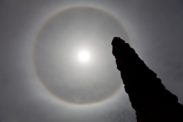
Turntable in the Sky by IntrepidXJ, on Flickr
There was still plenty of time in the day, so we headed over to Lizard Rock and started hiking towards Tibbett Arch. There was plenty of route-finding involved, but I found a nice overlook right across the small canyon from the arch. Dave, on the other hand, managed to get above and on the other side of the arch.
The large monolith on the left is Lizard Rock, with Plug Rock just to the right of it. Standing Rock is the skinny one in the distance. Land of the Standing Rocks.
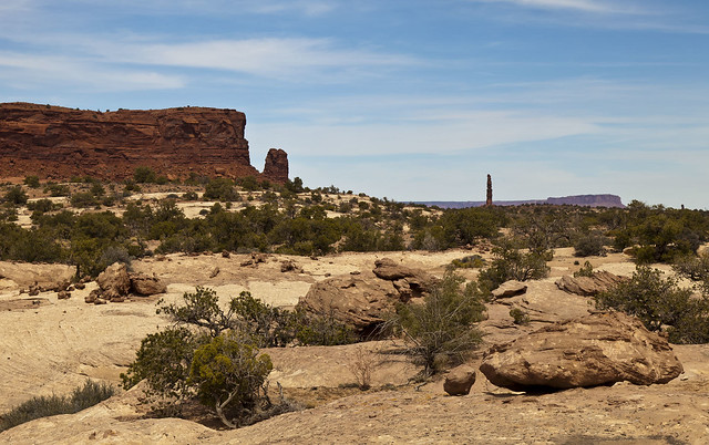
Lizard and Standing Rock by IntrepidXJ, on Flickr
Looking down into the canyon in front of Tibbett Arch. You can see the arch to the upper left of the photo.
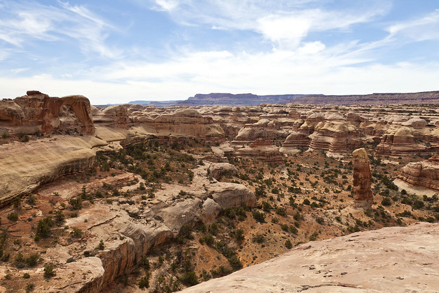
Tibbett Arch Canyon by IntrepidXJ, on Flickr
A closer look at Tibbett Arch. I was hoping to get low enough to see some sky through it, but that didn’t work out this time.
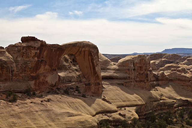
Tibbett Arch by IntrepidXJ, on Flickr
After we finished exploring the area and taking a few photos we returned to camp so we could relax and have some dinner. I was hoping the skies would clear a bit that night so that I could try some star trails with Standing Rock in the foreground.
Back at camp, Dave made us all dinner which included fried chicken and potatoes which were delicious. Then we watched the sun go down from Standing Rock with cameras in hand.
Looking up at Standing Rock. You can see the very small moon above it and to the left a little bit.
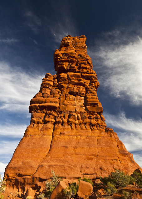
Standing Rock by IntrepidXJ, on Flickr
Zoomed in to see the moon with a small piece of Standing Rock in view.
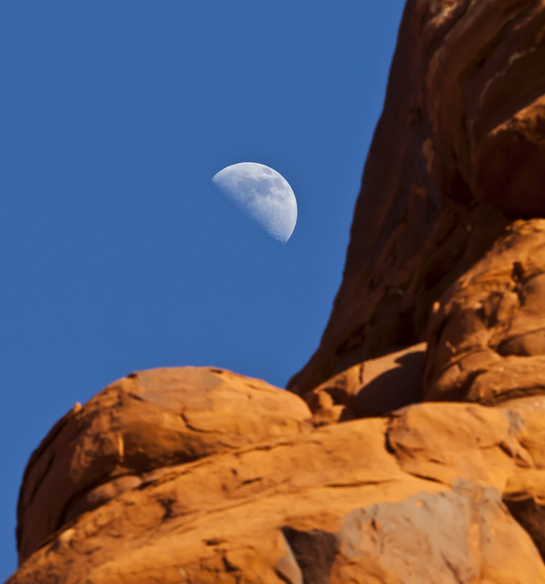
Rock & Moon by IntrepidXJ, on Flickr
Dave watches the sun set from under Standing Rock.
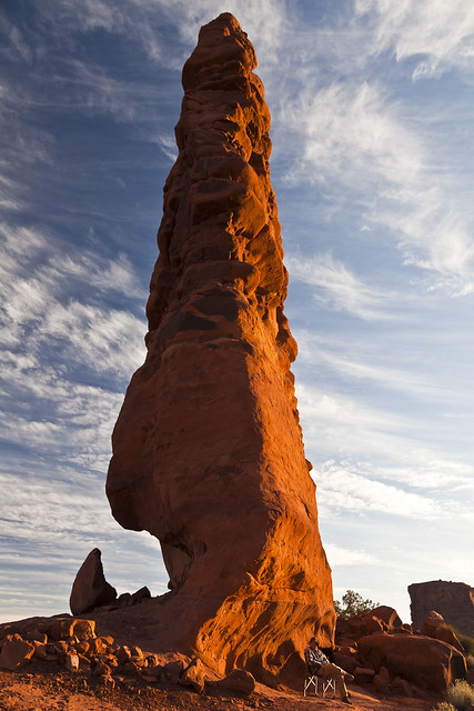
Relaxing by IntrepidXJ, on Flickr
Jared lies down to get a photo of Standing Rock.
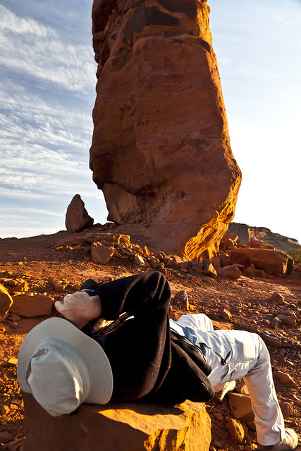
Getting the Shot by IntrepidXJ, on Flickr
When it got dark enough, I finally got to try some star trails. Unfortunately, since this was my first time trying them with my new camera and lens they didn’t turn out as well as I had hoped. Here is one photo that I took without the trails while experimenting, though.
A night shot of Standing Rock with plenty of stars and a nice little cloud in the sky.
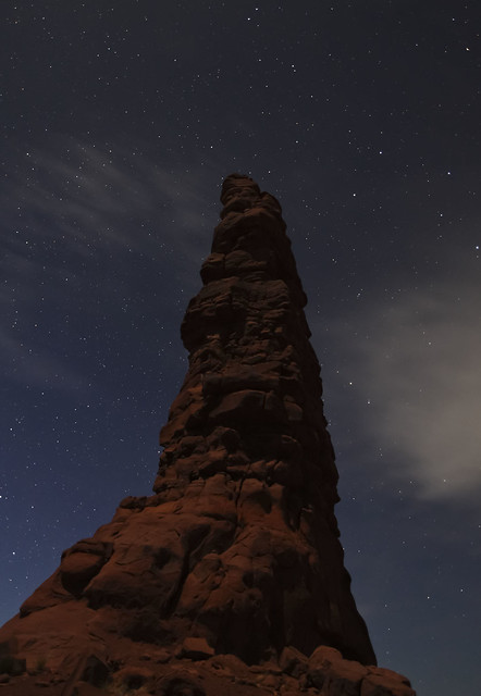
Standing Rock Under the Stars by IntrepidXJ, on Flickr
It was a nice night under the stars and wasn’t too cold. Definitely not a bad way to spend our last evening in The Maze and Canyonlands National Park.
