Colorado Adventure 2010 | Day 1
Wednesday, August 25, 2010
Last Wednesday I headed out on my Colorado Adventure. While I didn’t make a set itinerary for the trip this year, there were a few areas that I wanted to explore further, and I tried to connect them into a big loop. From Grand Junction I headed south to Montrose and continued on US 50 towards Gunnison. After a quick side-trip on Blue Mesa and then topping off my gas tank in Gunnison I continued on to CO 114 and my first destination; The Cochetopa Hills. I had driven through this area quickly a few years ago when I took Los Pinos Pass over into the San Juans, and I was itching to get back and explore some more.
Pretty soon I had spotted a side road named Camp Kettle Gulch Road. I figured that it was a good time to get off the pavement and get the real trip started. I was greeted by some nice scenery.
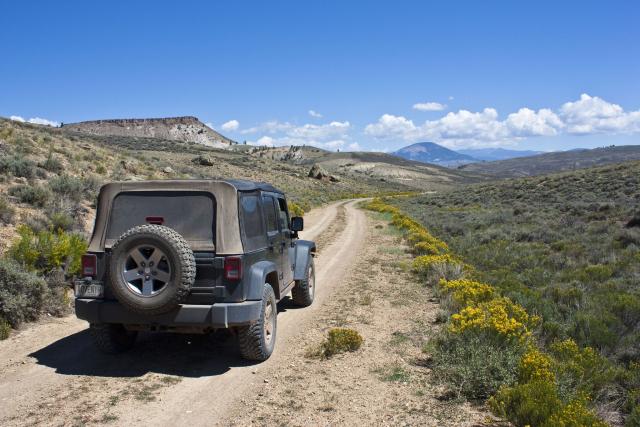
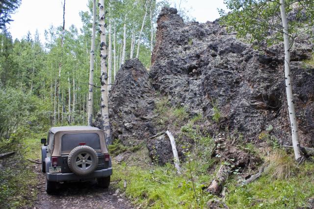
Hardened lava along the road
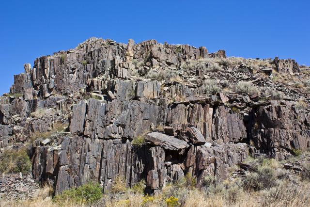
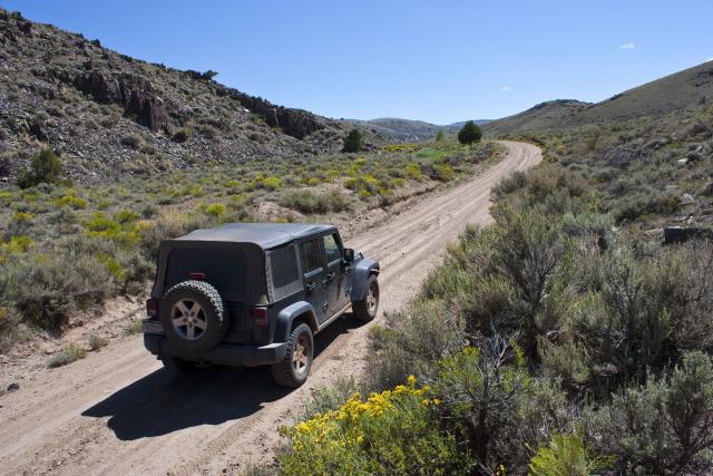
I didn’t consult a map before heading down this road, so I wasn’t sure if I would be turning back around or finding another way out, but as luck would have it, this road ended up connecting to the Table Top Road and bringing me back to the highway right near the start of Los Pinos Pass…..and right where I wanted to be!
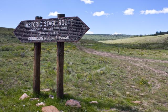
While making my way towards Los Pinos Pass, I passed a sign that I don’t remember from my last trip down this road.
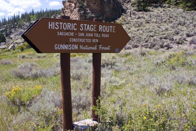
I love checking out historic routes, so I just had to follow this section of the Saguache – San Juan Toll Road constructed by Otto Mears and Enos T. Hotchkiss in 1874.
Much of it was in the trees.
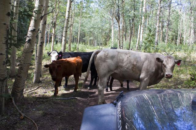
Then I ran into a traffic jam. They were slow to get out of my way….
Two-tracking out of the trees
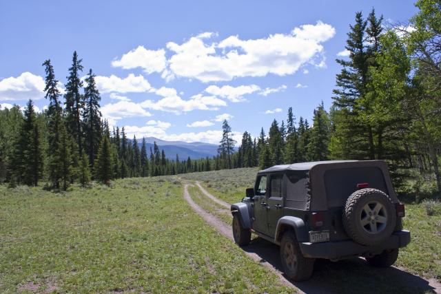
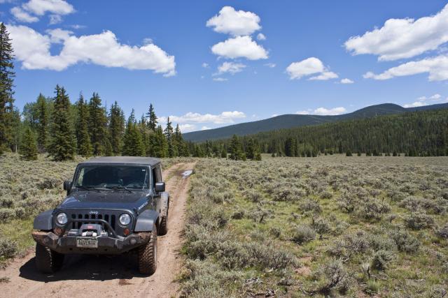
Lucky for me again, this trail looped back around to the Los Pinos Pass Road. Before reaching the pass, I turned off so that I could loop back to Dome Lakes.
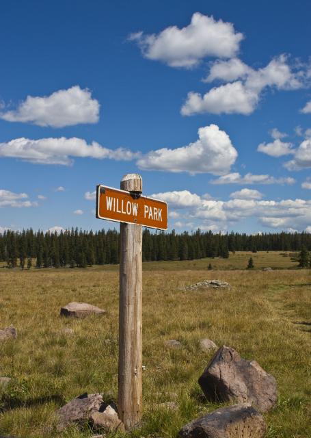
I passed through Willow Park
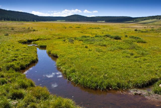
…and then Big Meadows
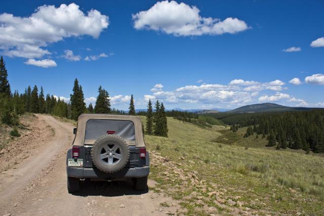
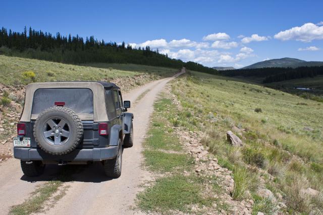
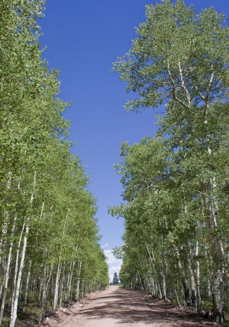
Then through this row of aspens
But before I reached Dome Lakes, I was side-tracked by another segment of the toll road.
This section was all out in the open, travelling across the rolling hills.

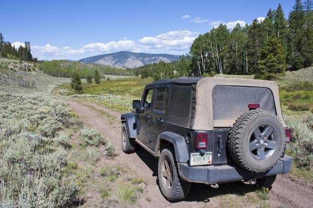
My favorite kind of roads
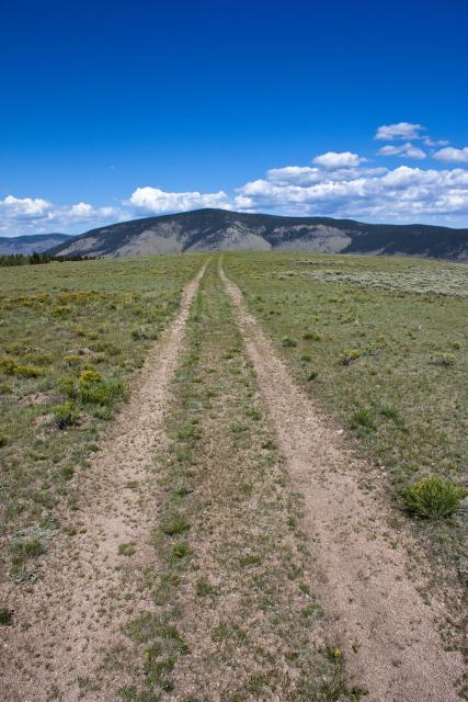
This segment brought me near Dome Lakes.
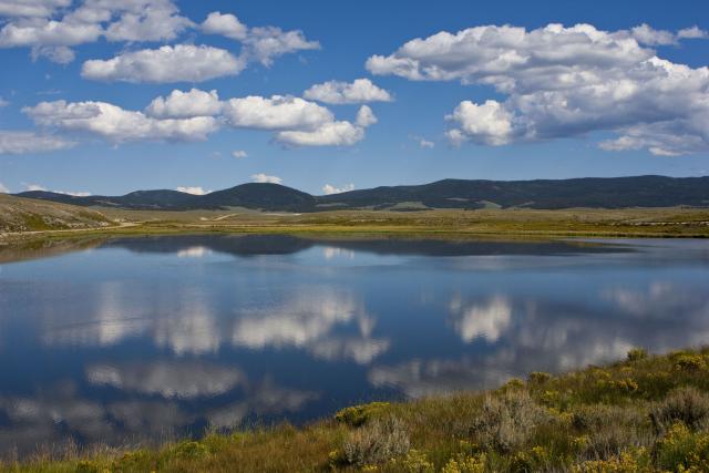
Next up I made my way up and over Cochetopa Pass
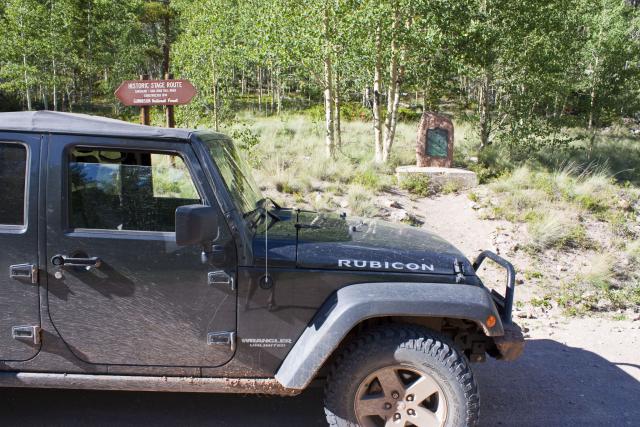
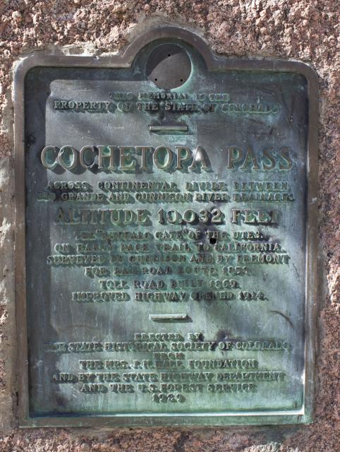
Cochetopa Pass marker and history
Shortly after I was across the pass I headed into Taylor Canyon
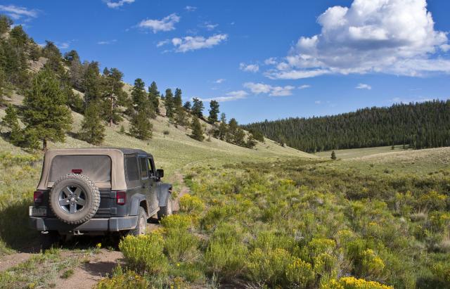
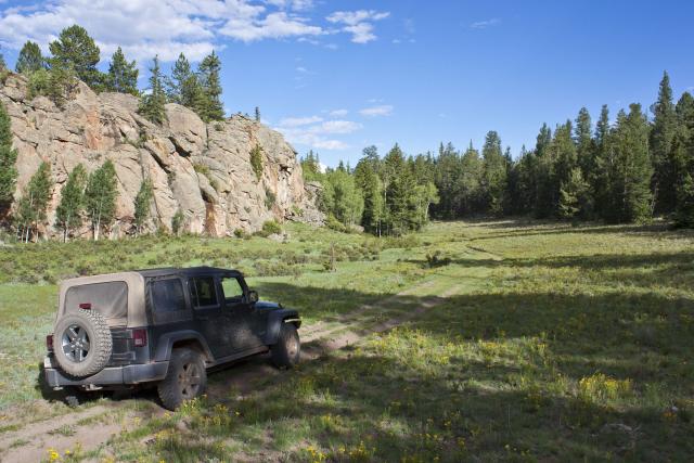
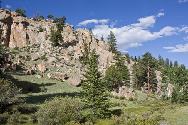
…which brought me back under CO 114
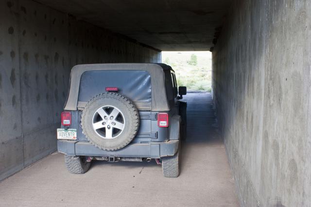
On the other side of the highway I made the short loop up and over Lujan Pass.
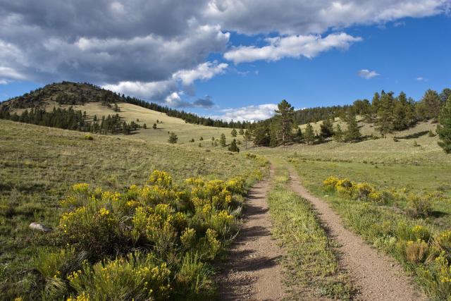
When I reached the highway again, it was time to start looking for a campsite for the night. I headed back up towards Cochetopa Pass and pulled off onto a side road, where I found a nice place to spend the night.
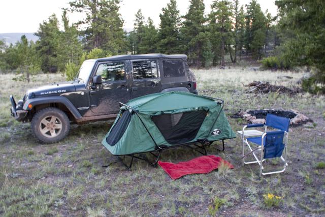
Before getting some sleep, I was treated to a great sunset.
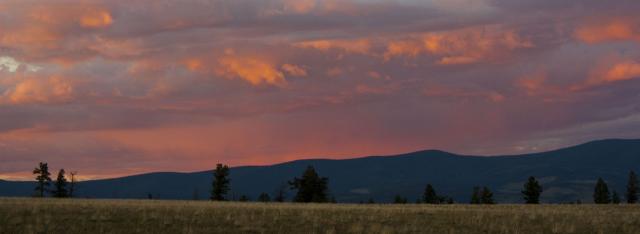
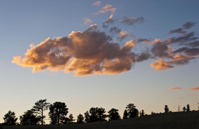
The moon even seemed extra large when it rose over the hills and mountains
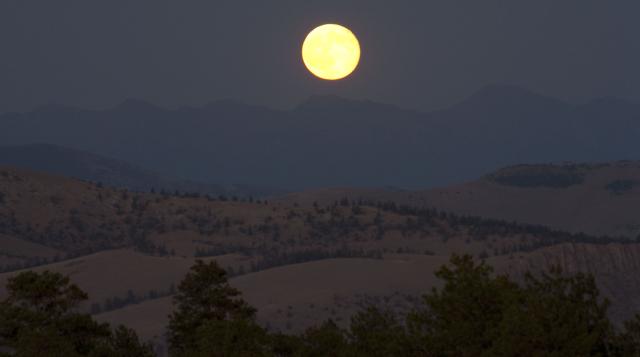
It was a great way to start my Colorado Adventure!
The full photo gallery from this day can be found here: Cochetopa Hills Photo Gallery
Stay tuned for the next four days of my adventure. To be continued…
