Saturday, June 6, 2009
After finally running the full Kokopelli Trail last month, I decided I wanted to finish off the ‘Grand Loop’ trails. Today I tackled the second trail; the Tabeguache Trail. The Tabeguache (pronounced ‘tab-a-watch’) Trail is mountain bike trail that starts out near Montrose, CO and ends up near Grand Junction. Like the Kokopelli Trail, it is made up mostly of 4-wheel drive roads with a few sections of single-track mixed in. However, unlike the Kokopelli, there is not a lot of information about the Tabeguache available…especially for someone wanting to take a Jeep along as much of the route as possible.
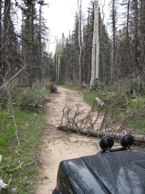
I spent the last week and a half researching the trail and putting together my best guess at a track using a bunch of BLM and Forest Service maps along with Google Earth. While the track I ended up putting together was pretty close, I did run into some problems early on. I ran into some downed trees, an ATV only section of trail and a few locked gates at private property.
I left Montrose around 8am and got back home around 7:30, so I was on the trail for almost 12 hours! Including all of my backtracking, I ended up traveling just over 160 miles off the pavement.
I’ll be putting together a much more detailed page about the Tabeguache Trail shortly (once I get the track I kept cleaned up) so I won’t go into much detail about the actual route here. Since I was more concerned about not getting lost today I didn’t end up taking too many photos, plus the skies were cloudy most of the day so I didn’t get that many good pictures, either.
Anyway…enough talk, here’s some pictures 🙂
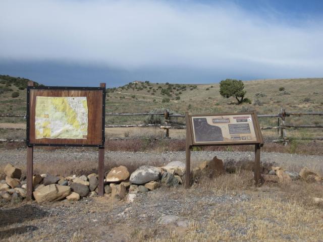
Signs at the trailhead in Shavano Valley
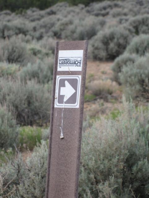
The trail was fairly well marked, but there were a number of broken and missing signs along the way, too
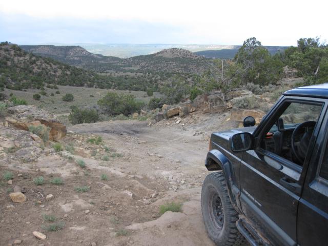
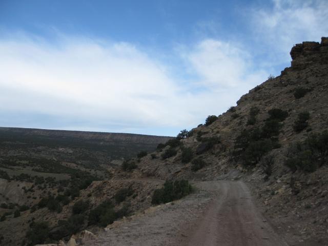
Headed down to Dry Creek
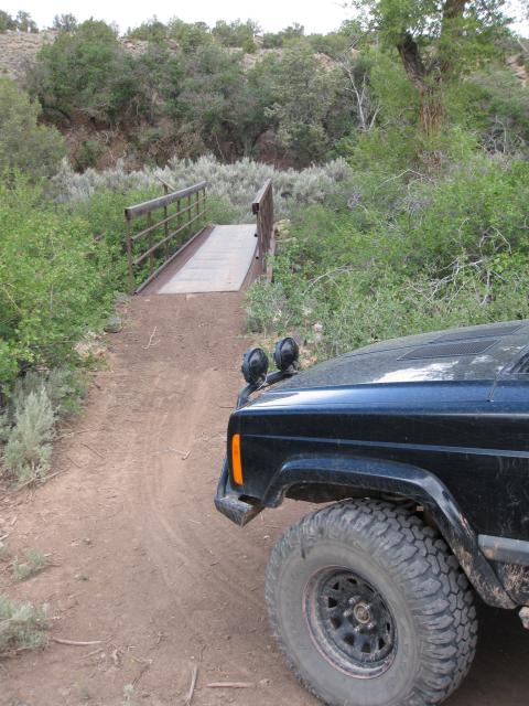
My first wrong turn….my Jeep won’t fit over that bridge 😉
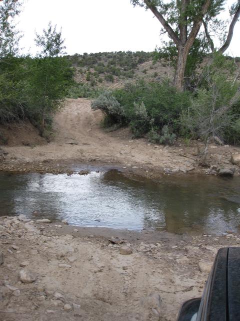
Dry Creek is not very dry
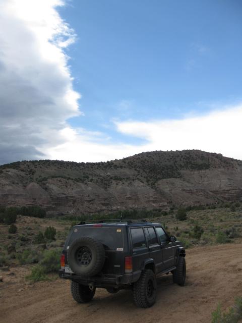
A few rough sections early on in the trail
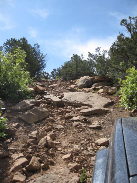
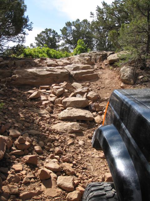
Climbing up higher onto the Uncompahgre Plateau
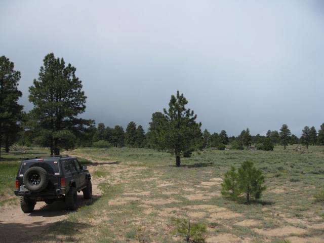
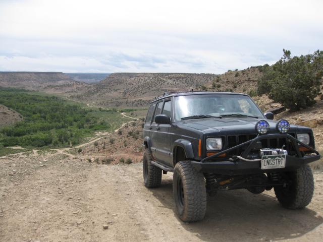
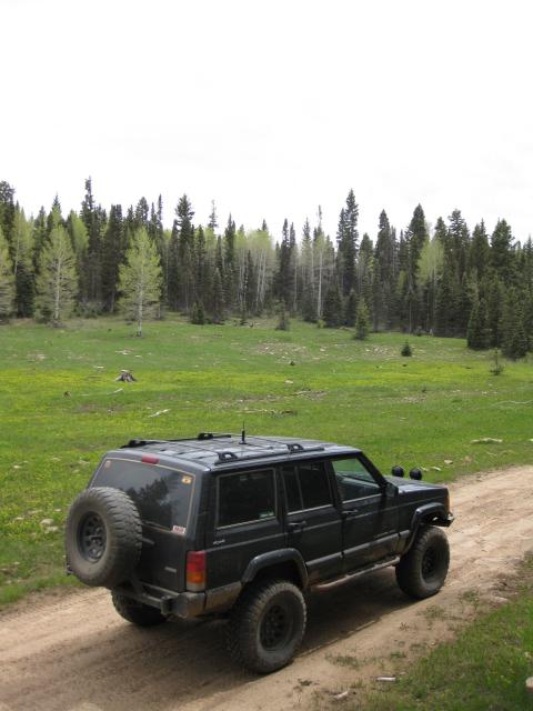
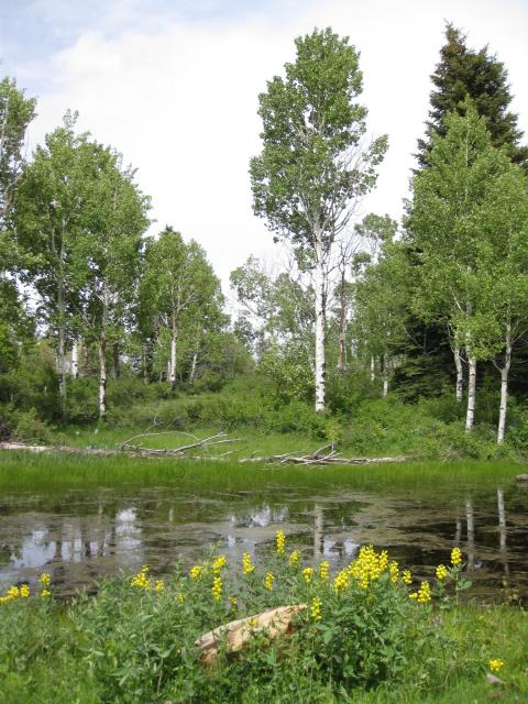
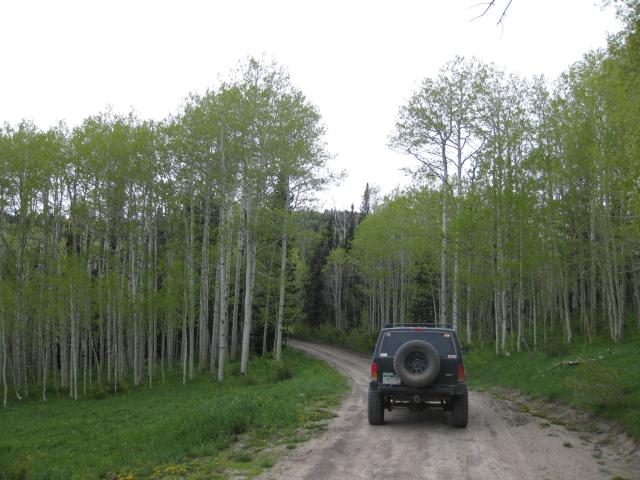
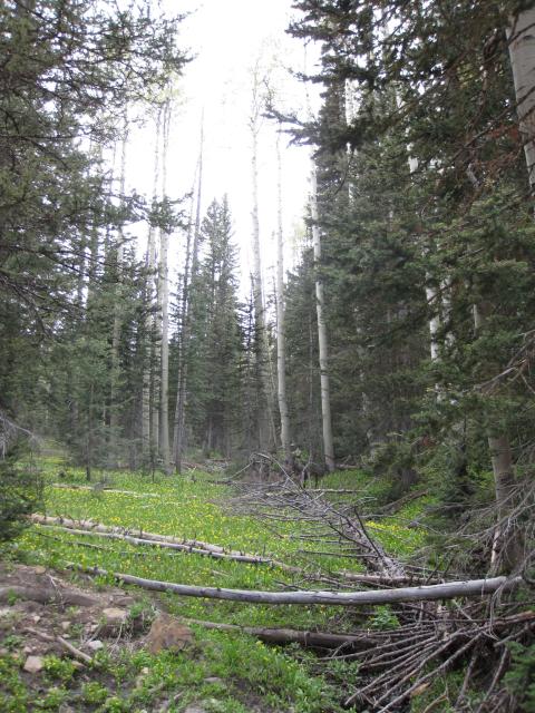
Up in the Aspens
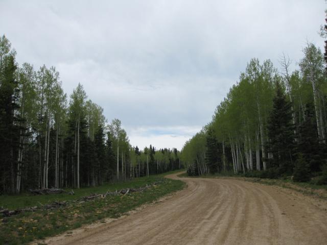
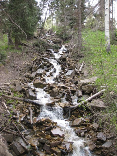
Waterfall
I was able to move this one by hand…
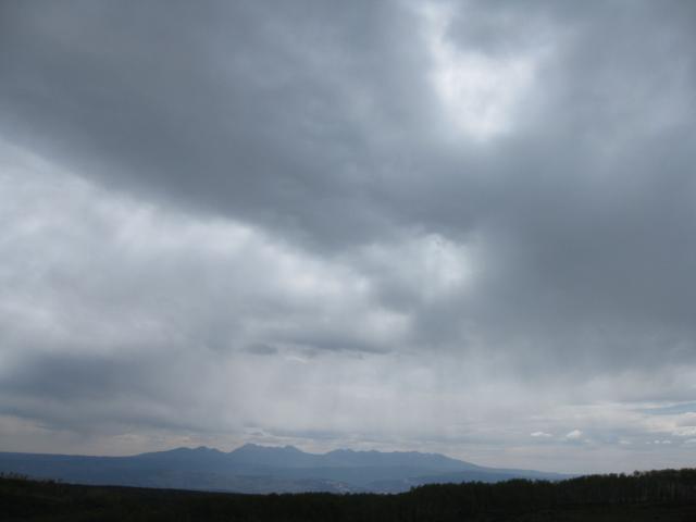
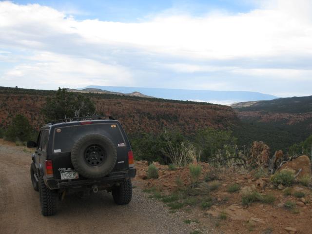
La Sals in the distance
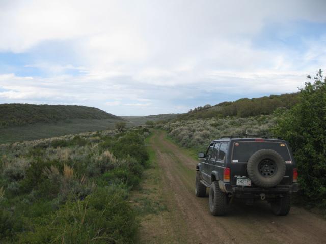
Dominguez Canyon
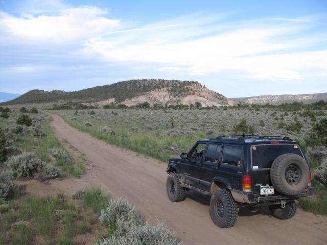
Finally…some blue sky as I near Grand Junction
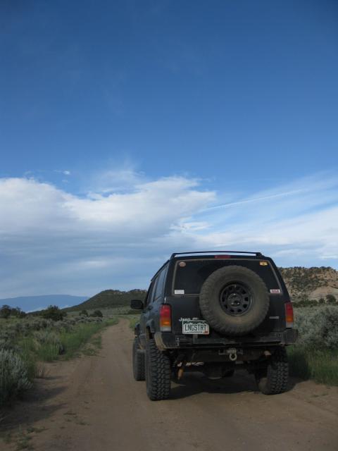
Unaweep Canyon
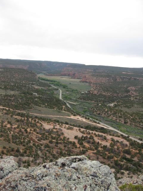
Now, it’s time for me to get some sleep! Enjoy!
