Saturday & Sunday, May 13-14, 2017
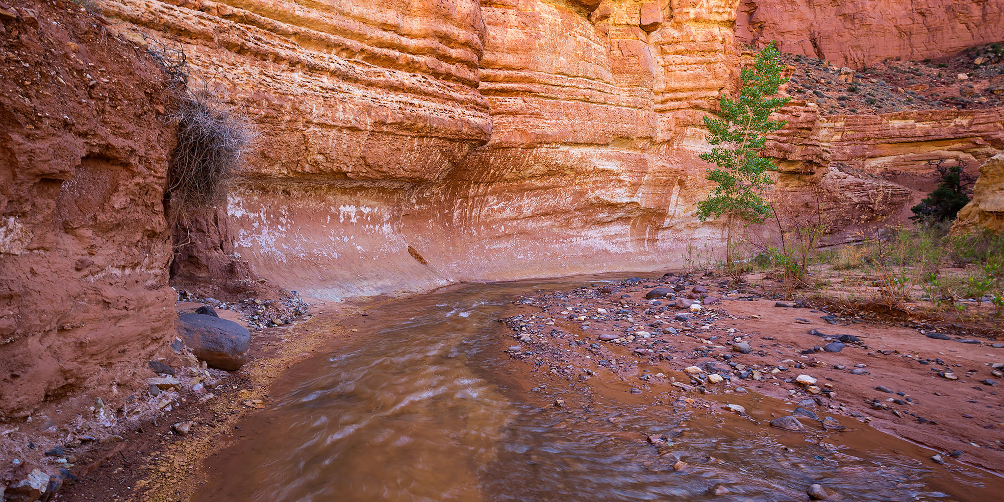
Hiking through The Goosenecks of Sulphur Creek in Capitol Reef National Park.
Sulphur Creek is a canyon in Capitol Reef National Park that I have wanted to hike for way too long, and since I’m making an effort this year to go to places that have been on my to-do list for a long time it was finally time to give it a shot. Diane and I left home very early on Saturday morning and drove west through Green River and Hanksville on our way to Fruita in Capitol Reef. We made a brief stop at the Visitor Center to drop off my bike and then continued down the road a few more miles to the Chimney Rock Trailhead.
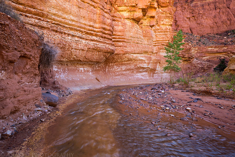
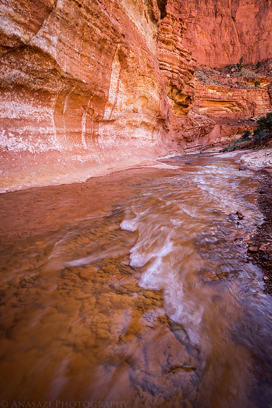
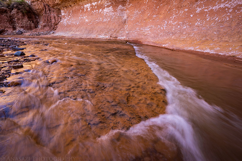
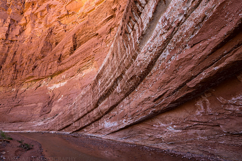
From the trailhead we crossed the highway and dropped down into a dry wash that we followed for about a mile and a half to it’s confluence with Sulphur Creek. This is where the real fun began as we started hiking though the flowing water of the creek into bends of The Goosenecks. The water was a little chilly at first, but was very pleasant as the outside temperature continued to rise into the afternoon. There was some nice light in the shadows of the big bends that make up The Goosenecks, which we viewed from above on our long weekend in Capitol Reef last year.
The start of the hike to Sulphur Creek.

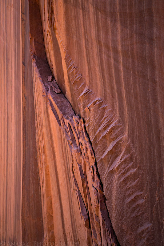
A cool slab of sandstone broken off the canyon wall.

Diane hikes ahead as we near the confluence with Sulphur Creek.

Beautiful light as we hiked through the big bends of The Goosenecks.

Diane hikes through the creek ahead of me.
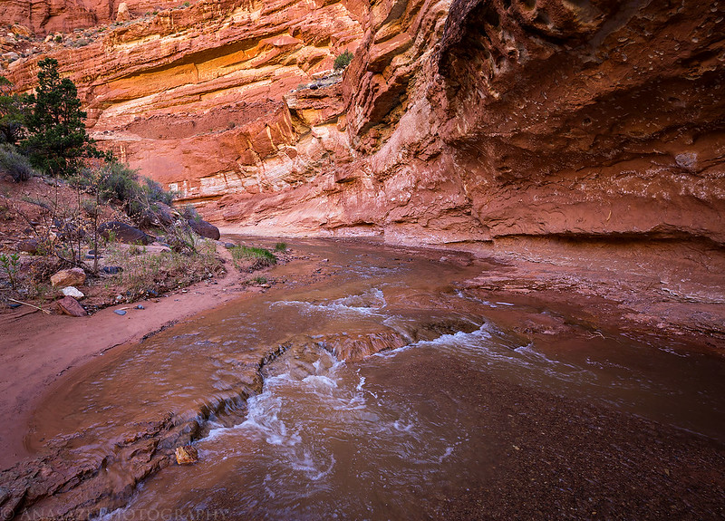

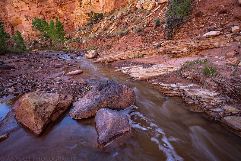
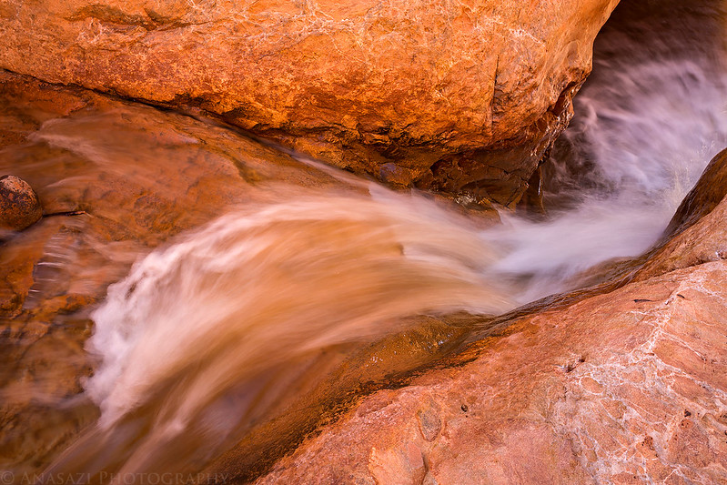
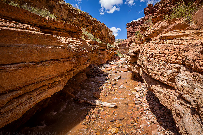
While much of the hiking was pretty easy, there were two waterfalls that we had to down-climb that added a little bit of a challenge along the way. The water was only ankle deep for much of the way, but there were a few pools and holes we had to walk through that came up over my knees.
Looking down the first waterfall we had to bypass.
Here’s of view of the same waterfall from the bottom.

Golden Narrows

This is the second waterfall we climbed around.

I loved the nice reflected light in this short section of the canyon.

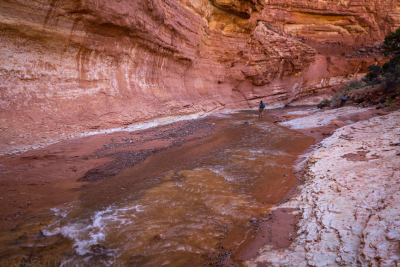
Just a few more photos of the canyon as we hiked down to the third and final waterfall along the way. This one we couldn’t down-climb, so we had to take a longer bypass trail that got us around it.


Here’s a view from the bypass trail over Sulphur Creek with the Waterpocket Fold above.

When we reached the Visitor Center I got on my bike and took the highway back to the trailhead to get my Jeep while Diane waited for me. Even though it was only 3.5 miles of pavement, much of the ride was uphill and steep and I underestimated how difficult it would be, especially since I haven’t ridden my bike in a while. If I plan to use my bike for a shuttle again, I better start riding it more! At least the last half mile of the ride was downhill, which was the fun part.
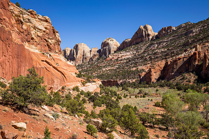
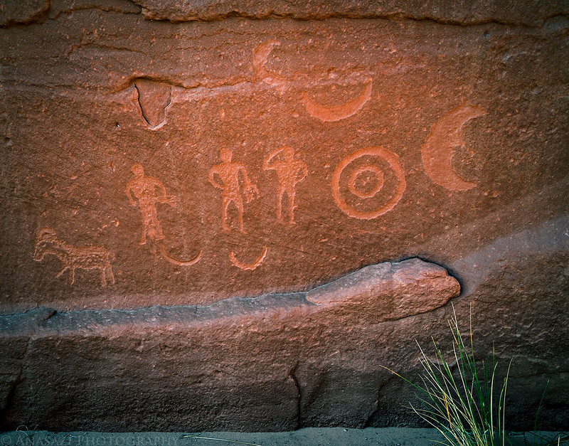
I returned to the Visitor Center to pickup Diane and then we continued driving south along the Scenic Drive until we reached Pleasant Creek, where we had a late lunch. Then we went on another short hike along Pleasant Creek in the canyon that cuts through the Waterpocket Fold. We visited a few rock art panels and enjoyed the scenery. By now, the wind had picked up considerably since the morning and it was blowing a lot of sand and dirt around during the hike.
Looking down Pleasant Creek Canyon in the Waterpocket Fold.
An interesting, but disappearing panel of Barrier Canyon Style pictographs.

The Wall
This was a very cool panel of petroglyphs we found, but they were difficult to see and photograph.

Moon Panel
That sure looks like a fighting kangaroo to me!
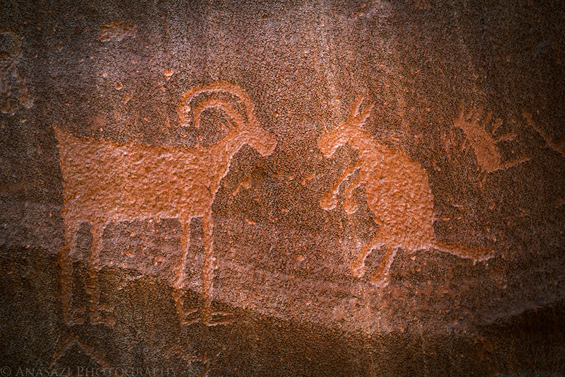
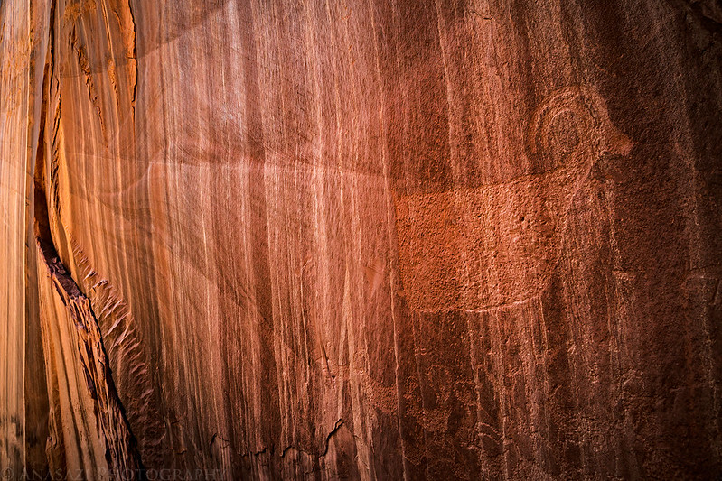
The biggest petroglyph of a sheep at the site.

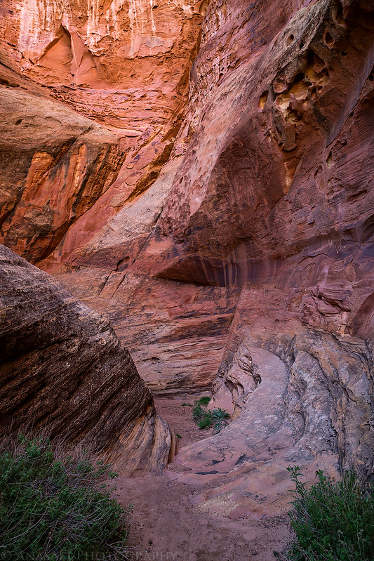
A nice short hidden slot canyon we found.
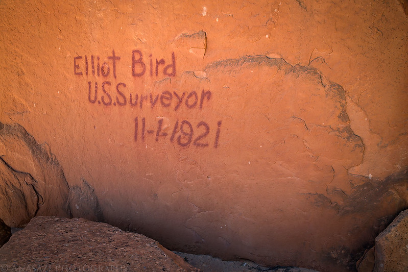
On our way back to the trailhead we passed this old inscription left by Elliot Bird in 1921.
When we returned to the Jeep again it was time to start thinking about finding a place to camp for the night. We still had a few hours of daylight left and I was planning on heading home through Cathedral Valley and the San Rafael Swell on Sunday, so I figured we’d take our chances at getting a campsite at the Cathedral Valley Campground, which I hadn’t stayed at since 2009. We left the Park and crossed the Fremont River Ford as we followed the Hartnet Road north along the east side of the Waterpocket Fold to the campground which is located at the base of Thousand Lake Mountain just above Cathedral Valley. Thankfully, there was one last site available when we arrived, so we setup camp, had a late dinner and went to bed early. It had been a long day and we were exhausted! Our timing couldn’t have been better since by the time we arrived in camp the strong winds that had been around most of the afternoon had finally died down.
Driving across the Bentonite Hills with the Henry Mountains in the distance.

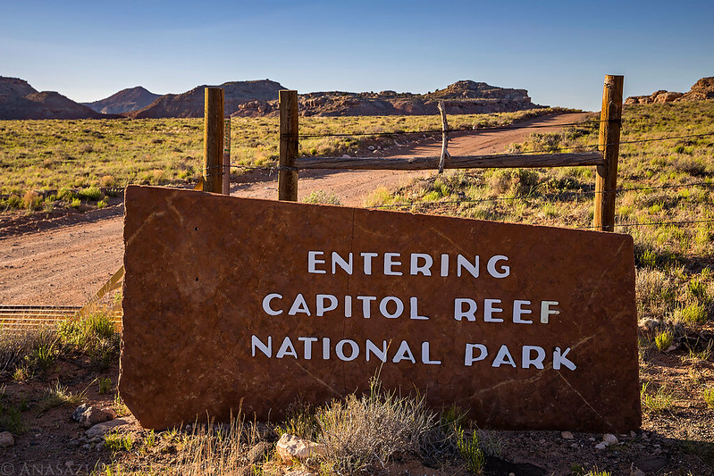
Re-entering Capitol Reef National Park.
An evening view from the Upper Cathedral Valley Overlook.

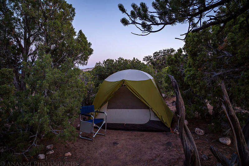
Home for the night.
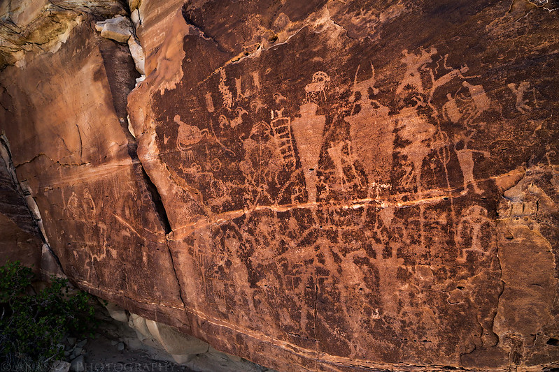
The temperature overnight was perfect! I left my sleeping bag unzipped for most of the night and was very comfortable. The wind stayed away and it was very quiet in the campground. We slept very well and decided to sleep in on Sunday morning until the sunlight woke us up shortly after 7:00am. After having a little breakfast and packing up camp we continued on our drive through Cathedral Valley. We made stops at Needle Mountain and the Gypsum Sinkhole and ended up driving all the way to the Temple of the Moon. After checking out The Temple of the Sun and Glass Mountain we backtracked a few miles to a side road that we followed around the base of Little Black Mountain to Last Chance Wash and Mussentuchit Flat where we visited a petroglyph panel that I had been to a few years ago with bad lighting. This time the panel was in the shade and photographed well.
Needle Mountain
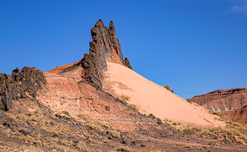
A lava dike catching sand.
A very nice petroglyph panel.
Some interesting figures on this one.

Diane spotted this small panel nearby that seems to be crumbling away.

From the petroglyph panel we continued the drive across Muddy Creek at the Lone Tree Crossing and then connected back up with I-70 to finish the drive back home. It was another great weekend in the desert!