Saturday, January 16, 2016
We were originally planning to drive down to Ouray this morning for the annual Ice Festival, but Diane wasn’t feeling very well when we got up so we stayed home. Instead, I headed out this afternoon to get a little local hiking in at the McInnis Canyons National Conservation Area trails near Fruita. I have hiked a few of the “K” trails near the mouth of Kodels Canyon in the past but had not been on all of them, so I decided to try and check out the rest. I started from the Kodels Canyon Trailhead along the highway and ended up hiking all of the remaining “K” trails that I had not been on before. The length of the hike ended up being just under 5.5 miles. The temperature outside was a little bit above freezing and I was glad that most of the trails were still covered with a layer of packed snow or I probably would have had to deal with hiking in the mud. Much of the day was overcast and a little gloomy but the sun did show up for a little while and brought a little blue sky, too. I didn’t take many photos on this hike because of the overcast conditions, but I did take a few snapshots along the way when the sun was out.
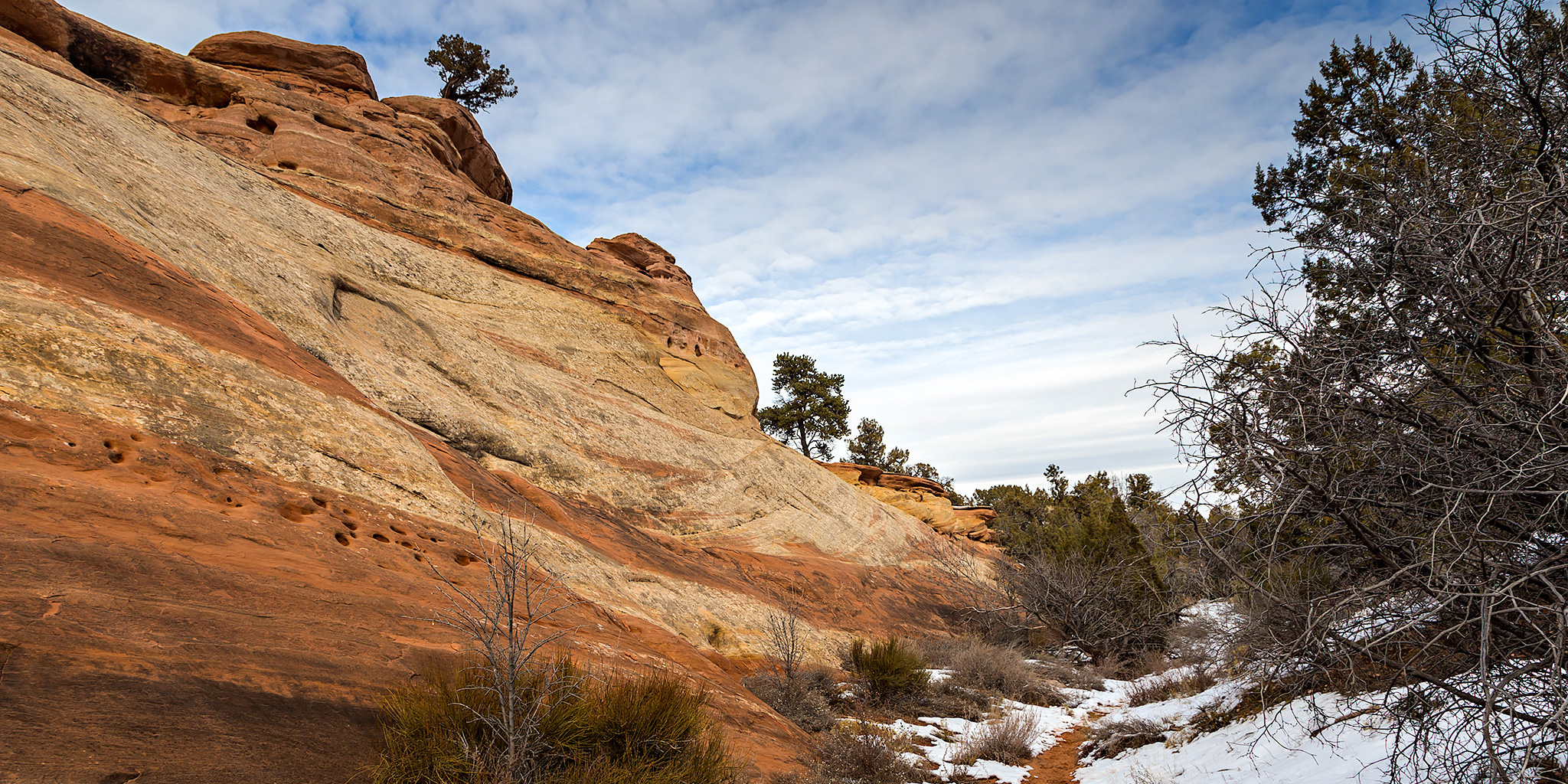
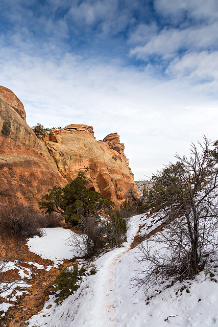
Hiking through the snow when the sun finally made an appearance.
Looking back along the sandstone ridge I was following.
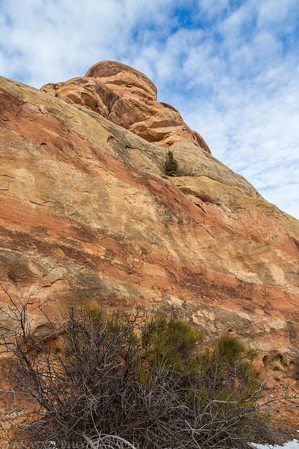
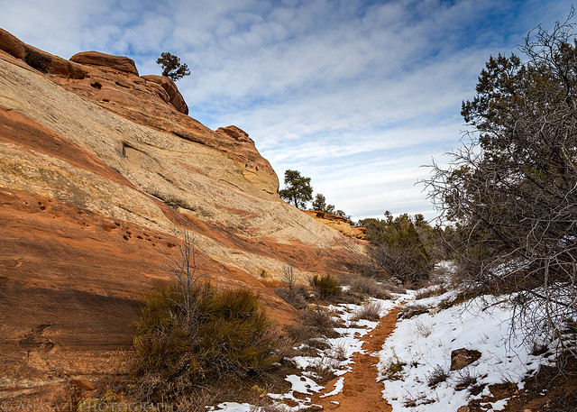
A little blue in the sky above the sandstone.
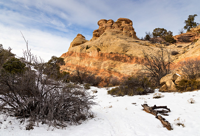
Following the snow-covered trail behind the ridge.
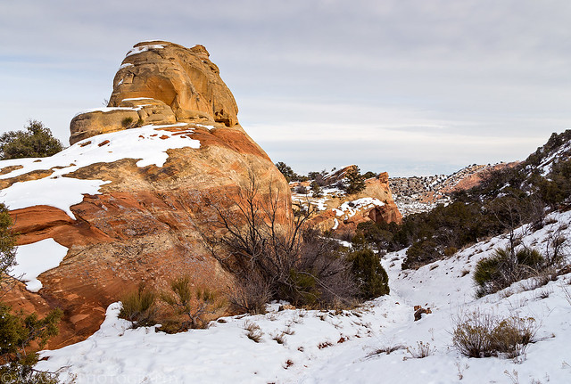
Following a wash back to the trailhead.
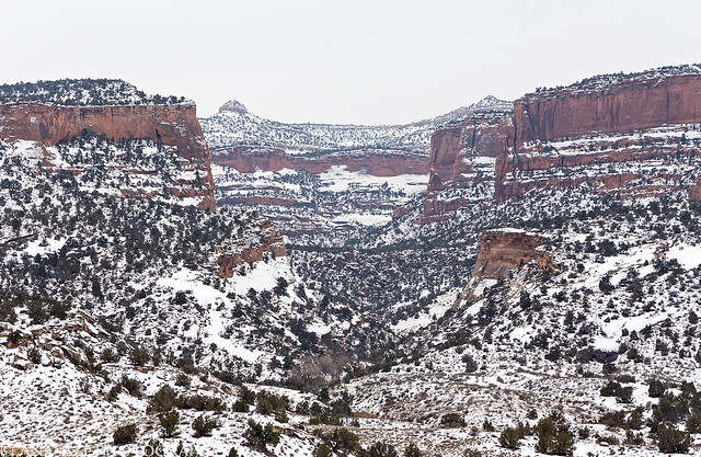
A view from an overlook of Kodels Canyon at the end of the K3 trail after the sun had disappeared and the sky became overcast again.
Since I finally hiked all of the Kodels Canyon trails in this section of the McInnis Canyons National Conservation Area, I’ve included a map below of them all.