Friday – Sunday, April 29 – May 1, 2022
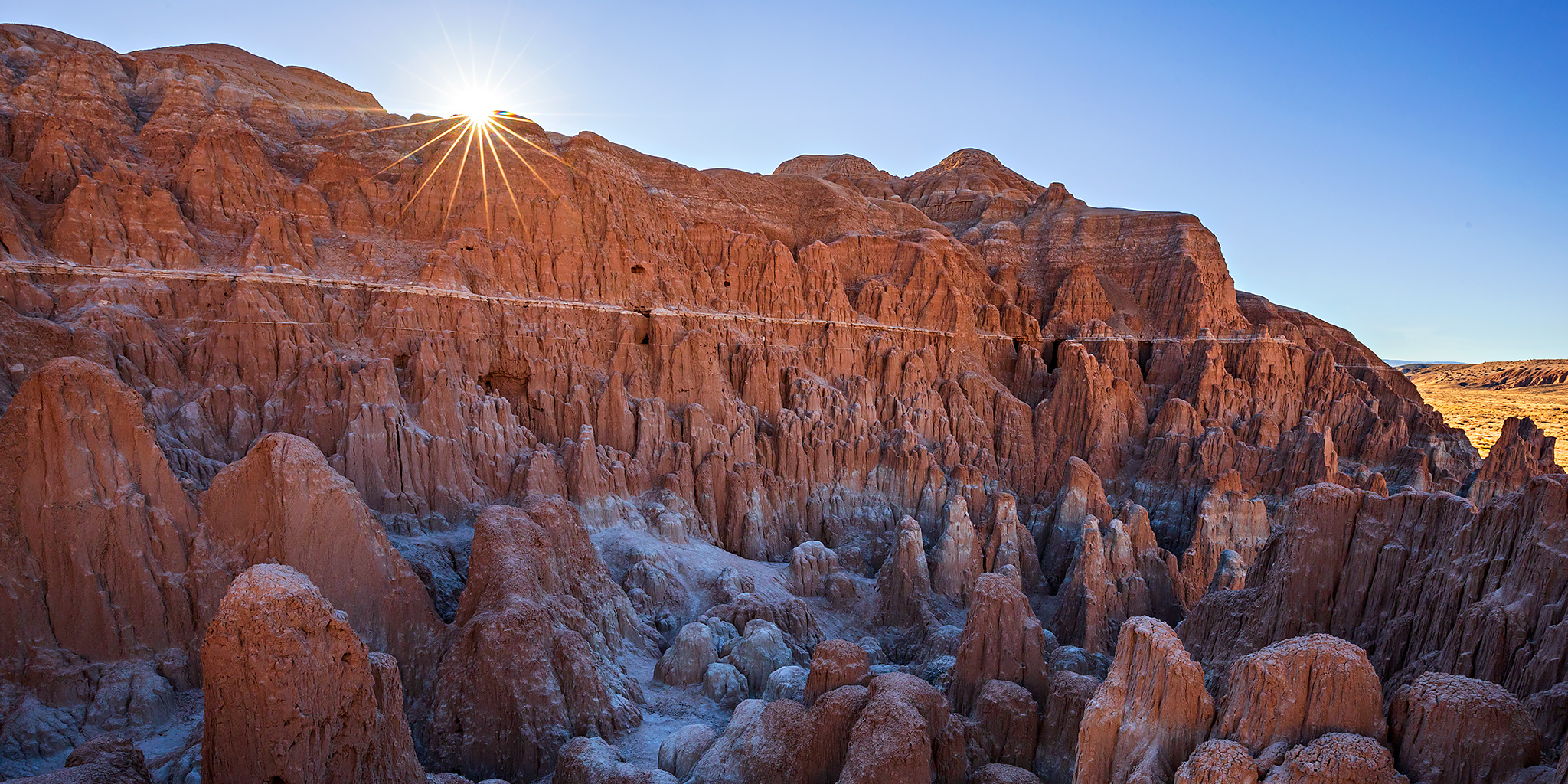
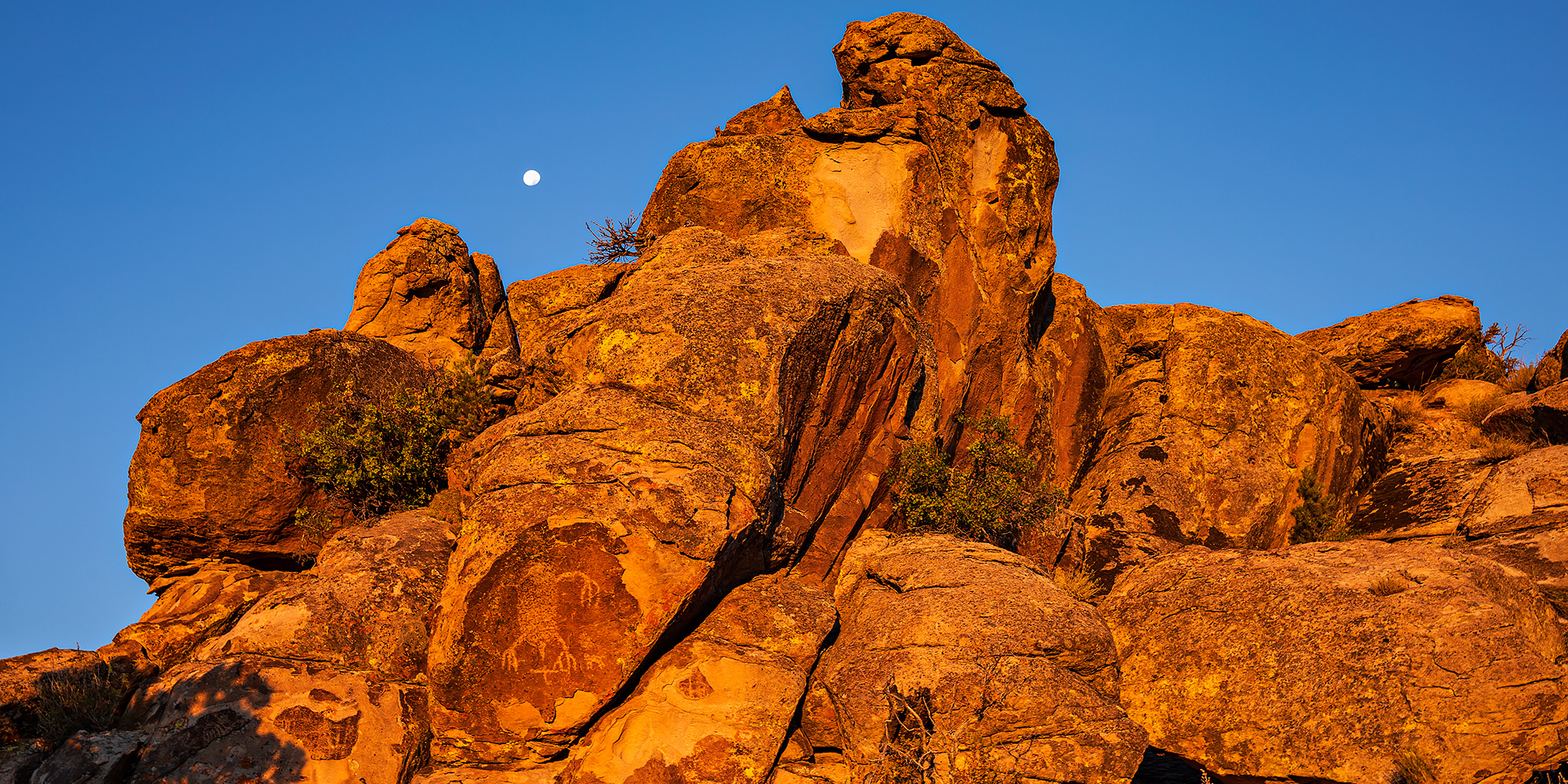
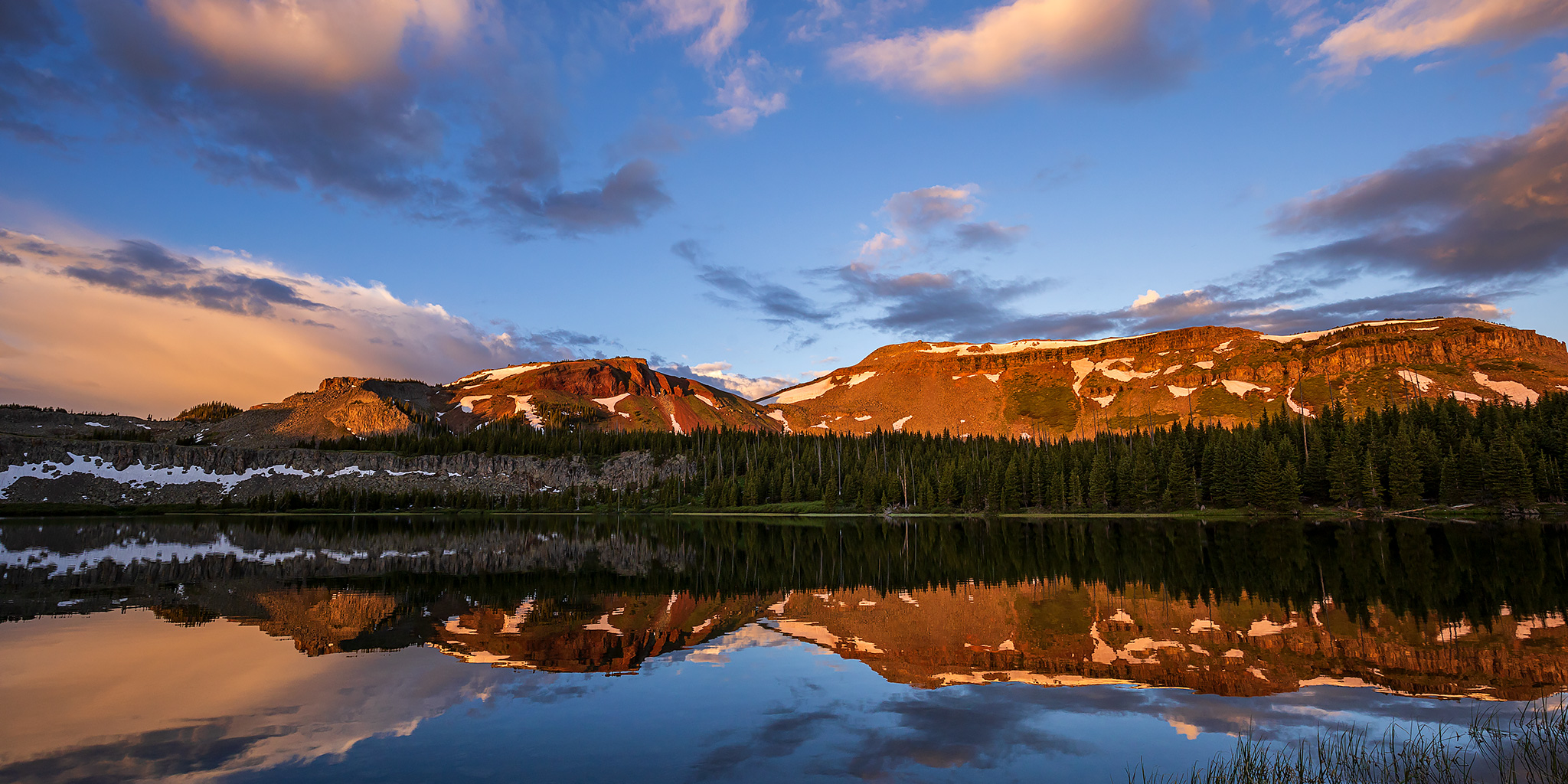
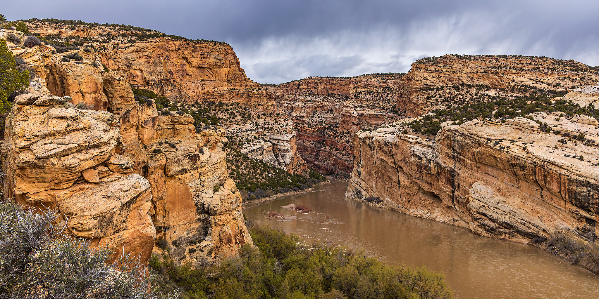
It has been almost exactly one year since I started working towards my goal of finishing all of the ‘official trails‘ within Dinosaur National Monument that I had not hiked yet, and this weekend I planned to head back so I could finally complete it. Although the two trails left on my list probably wouldn’t be considered official trails by most people, I guess I’m a completist when it comes to hiking and thought they were important enough to be included. Plus, they would bring me into new parts of the park I had not explored yet, which is always an added bonus. However, they each also happened to be located on completely opposite ends of the park, so I’d have to cover a lot of ground this weekend! I left a little early from work on Friday afternoon and drove over Douglas Pass as I made my way to Island Park on the Utah side of Dinosaurland to get my weekend started.
1 Comment