Thursday, November 5, 2015
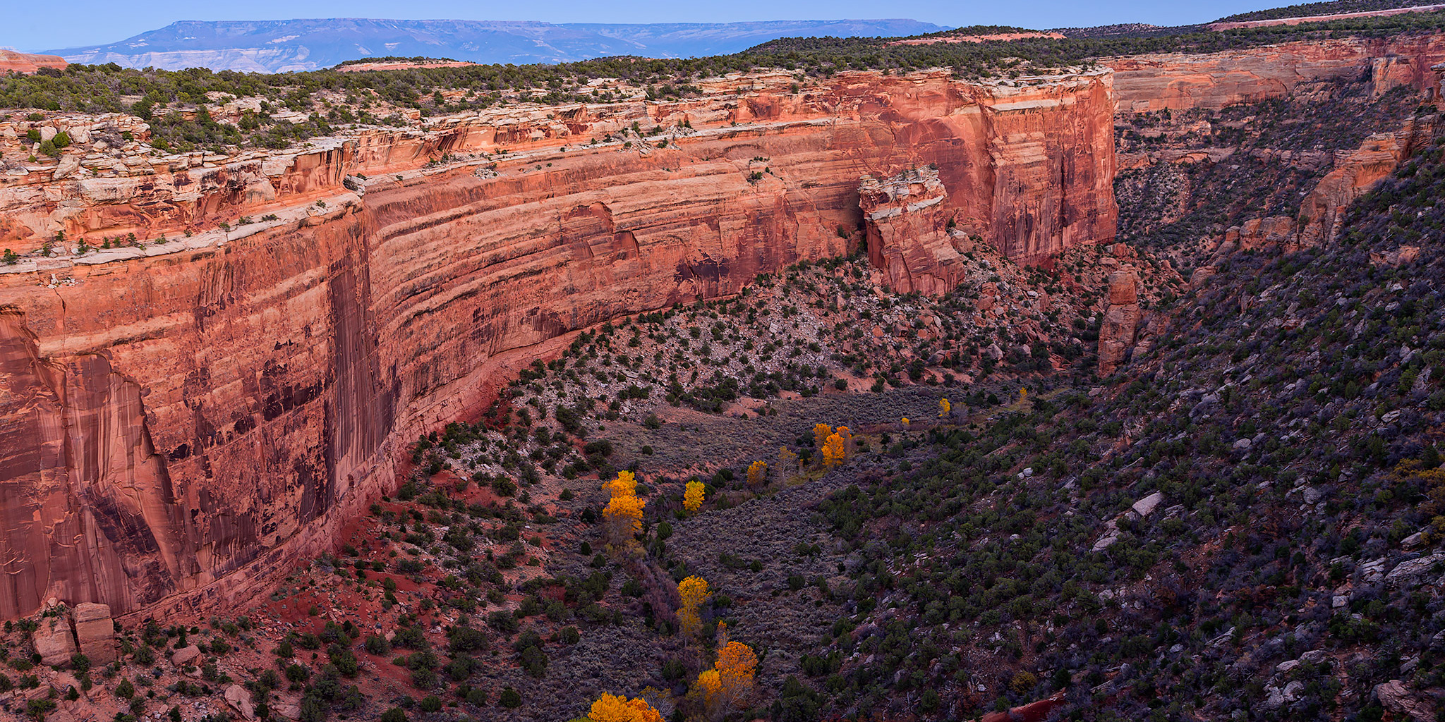
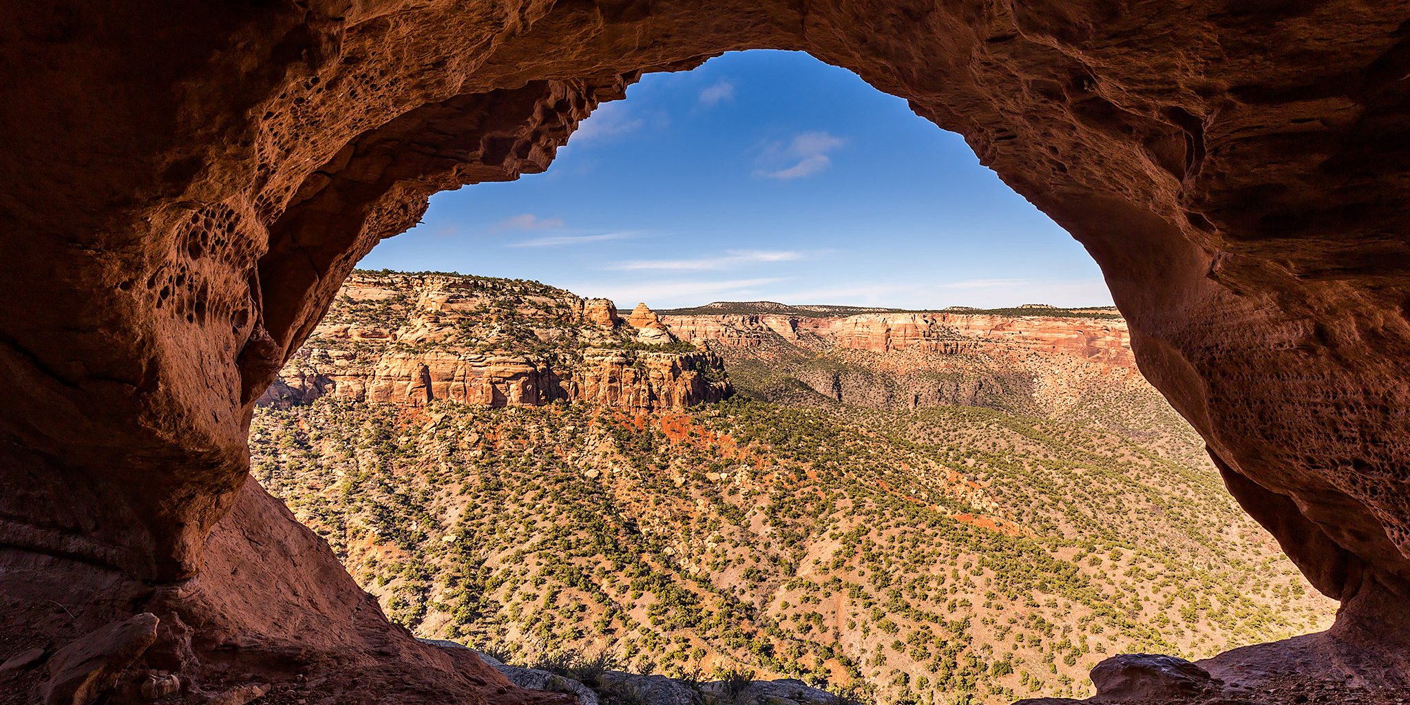
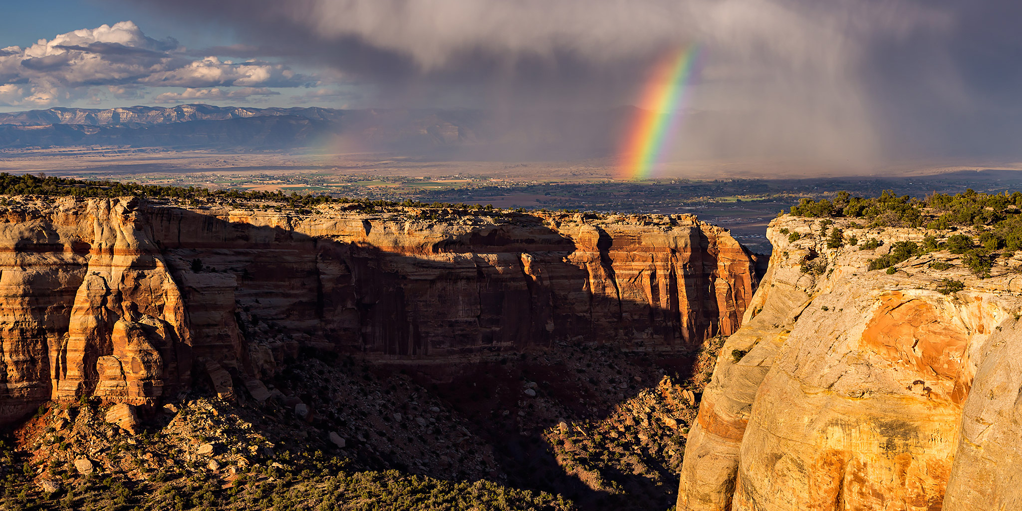
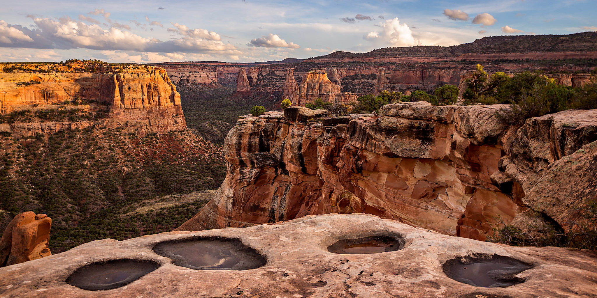
It’s been pretty rainy and wet here in the Grand Valley for the past day or two, but this afternoon the storms finally started to clear out of the area and I decided to drive up to the Colorado National Monument after work to take a few photos. I ended up just going to the Devil’s Kitchen in No Thoroughfare Canyon and hanging around there until shortly after sunset. Here are a few photos from the evening.
Leave a Comment