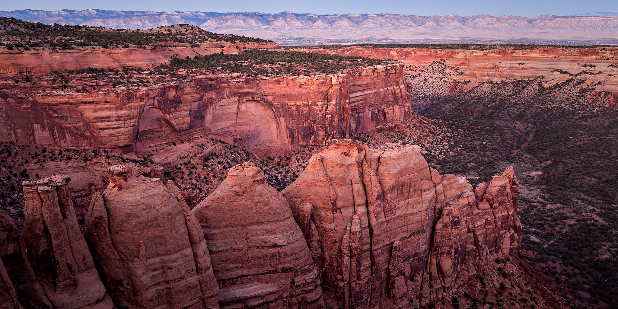
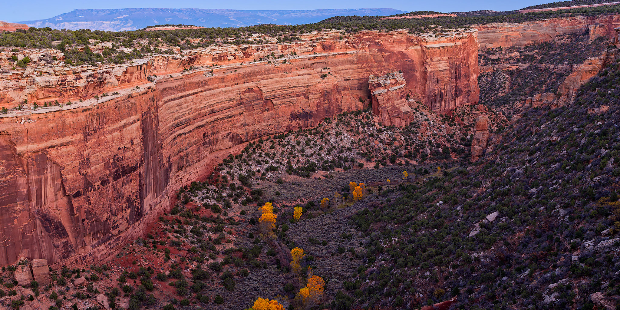
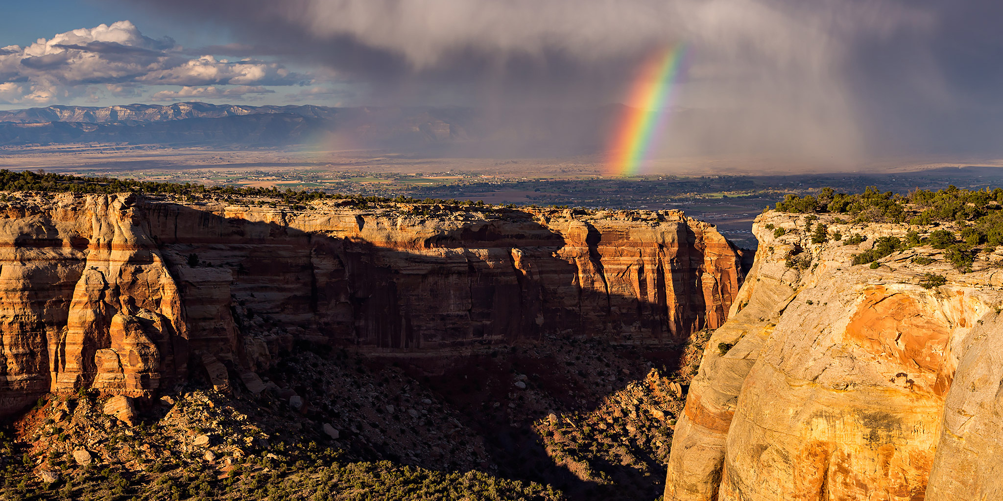
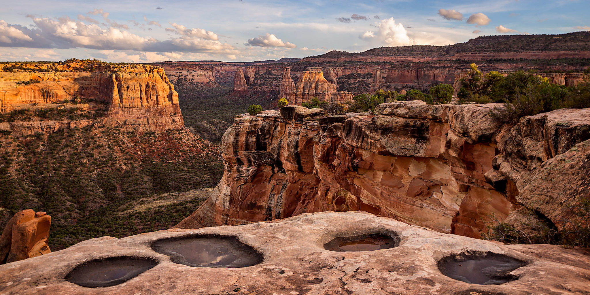
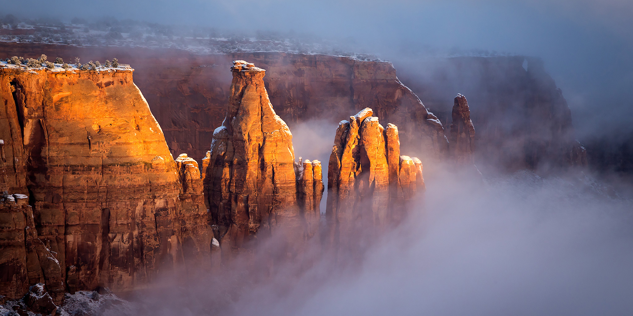
Press "Enter" to skip to content

Tag: red canyon

Gunnison Gorge: Ute Trail to the Gunnison River

Sunday, February 8, 2015

After spending yesterday in Utah I decided to try hiking some new trails closer to home today. While I have been to the Black Canyon of the Gunnison National Park a number of times, I realized that I have completely neglected the Gunnison Gorge National Conservation Area just downstream. That sounded like a nice place to hike today, especially since I have been talking to my friend Jackson about running that stretch of the Gunnison River in the future. My original plan for the day was to start out by hiking down the Chukar Trail. This is a short one mile trail that descends 560 feet to the main boat put-in to run this stretch of the river. If you plan to run this section by boat, you either need to carry your gear down this trail or you can hire a company to have it packed down by mule.

Leave a Comment

Toms Canyon to the Little Dolores River

Saturday, December 6, 2014

In a recent conversation with a Facebook friend, he mentioned to me that there might be some rock art located along the Little Dolores River between two parcels of private property. After doing some research on the property boundaries and finding that access would probably be possible by hiking down Toms Canyon, I mapped a possible route on Google Earth that avoided all private property and stayed on BLM land to the area. The only concern I had left was finding an access point down into Toms Canyon from the rim. I had found a spot on Google Earth that looked good, but would not know for sure until I was there and checked it out for myself. On Saturday morning I decided to head up and give this hike a shot. After stopping at the Visitor Center in the Colorado National Monument to pick up a calendar that features one of my photos, I continued up through Glade Park to the Little Dolores Road and took it almost to it’s end at the private property. I turned off on a side road that lead to a campsite and started hiking from there. First, I had to climb to a short pass on a faint trail that gave me a nice view down into Toms Canyon. The faint trail I followed up to the pass pretty much ended there and I had to bushwhack through the steep and rocky wash on the way down into Toms Canyon. There was one rocky ledge that I thought was going to stop me and prevent me from going further, but after a little searching I managed to find a way down. It turns out that the route I had planned in Google Earth worked out perfectly. Once I was down in Toms Canyon the hiking was much easier and I followed some well-used cow trails.

Leave a Comment

Fall in the Colorado National Monument

Fall Colors 2014
Wednesday, October 15 & 22, 2014

I spent the last two consecutive Wednesdays visiting the Colorado National Monument after work so that I could try to photograph fall colors before it was too late. I’ve had a couple of shots on my mind that I had envisioned and was hoping the conditions would allow me to make them happen this year. On my first visit to the park last Wednesday the color I was after wasn’t quite there yet so those shots had to wait, but I did take a few photos as I drove through the eastern section of the park to the Ute Canyon overlook and back.

Leave a Comment

Rim Rock Drive Overlooks

Saturday, April 26, 2014

I was originally planning to hike Flume Canyon near Fruita this morning when I left my house shortly after sunrise, but the unusual clouds in the sky and beautiful light in the canyons of the northern end of the Uncompahgre Plateau made me change my mind. Instead, I drove up into the Colorado National Monument and spent the morning taking photos from the overlooks along Rim Rock Drive.

Leave a Comment

Colorado National Monument Traverse

The Face of the Monument | West to East
Saturday, April 12, 2014

Years ago I had the idea of hiking across the face of the Colorado National Monument from one entrance to the other but never seemed to get around to planning the route and following through on the hike because I was usually heading elsewhere for my weekends. A few weeks ago I told Diane about this idea and she was interested in joining me, so I finally got determined to follow through and started planning the route. Much of the route follows existing trails that I have hiked many times in the past, but there were a few segments that I needed to check out and find a few connecting off-trail routes between them. Over the past few weeks I have gone out a few times after work and scouted these segments to come up with the complete route.

3 Comments