Press "Enter" to skip to content

Tag: dolores river

Getting Lost in the West End

Silveys Pocket to the Dolores River, Petroglyphs in Paradox & La Sal Creek
Friday – Sunday, April 3-5, 2020

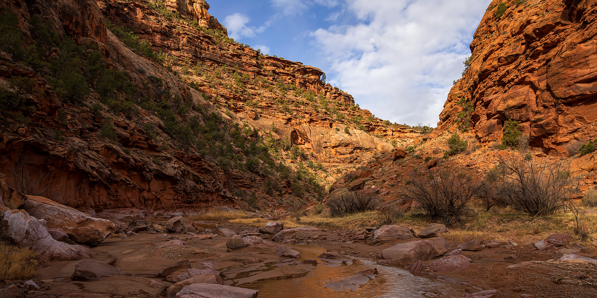
With all of southern Utah essentially shut down to non-locals right now, this weekend I tried to pick one of the more remote areas in western Colorado that wasn’t too far from home to go explore. Ever since I floated through Slick Rock Canyon on the Dolores River last year I have wanted to get back to hike some of the side canyons that we were unable to visit on that trip, so I thought the Dolores River Canyon Wilderness Study Area would be the perfect place to go. I left right from work on Friday and was completely self-contained in my Jeep with food and fuel for the entire weekend so I wouldn’t have to make any stops along the way. I followed the Unaweep-Tabeguache Scenic Byway to Naturita and then headed over to Big Gypsum Valley where I crossed the bridge over the Dolores River beyond the boat ramp and found a place to camp along the rim of Silveys Pocket.

1 Comment
Maverick Canyon to Juanita Arch

Wednesday, April 1, 2020

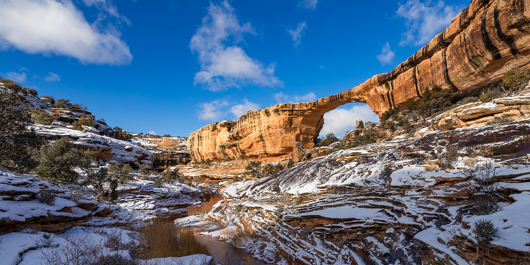
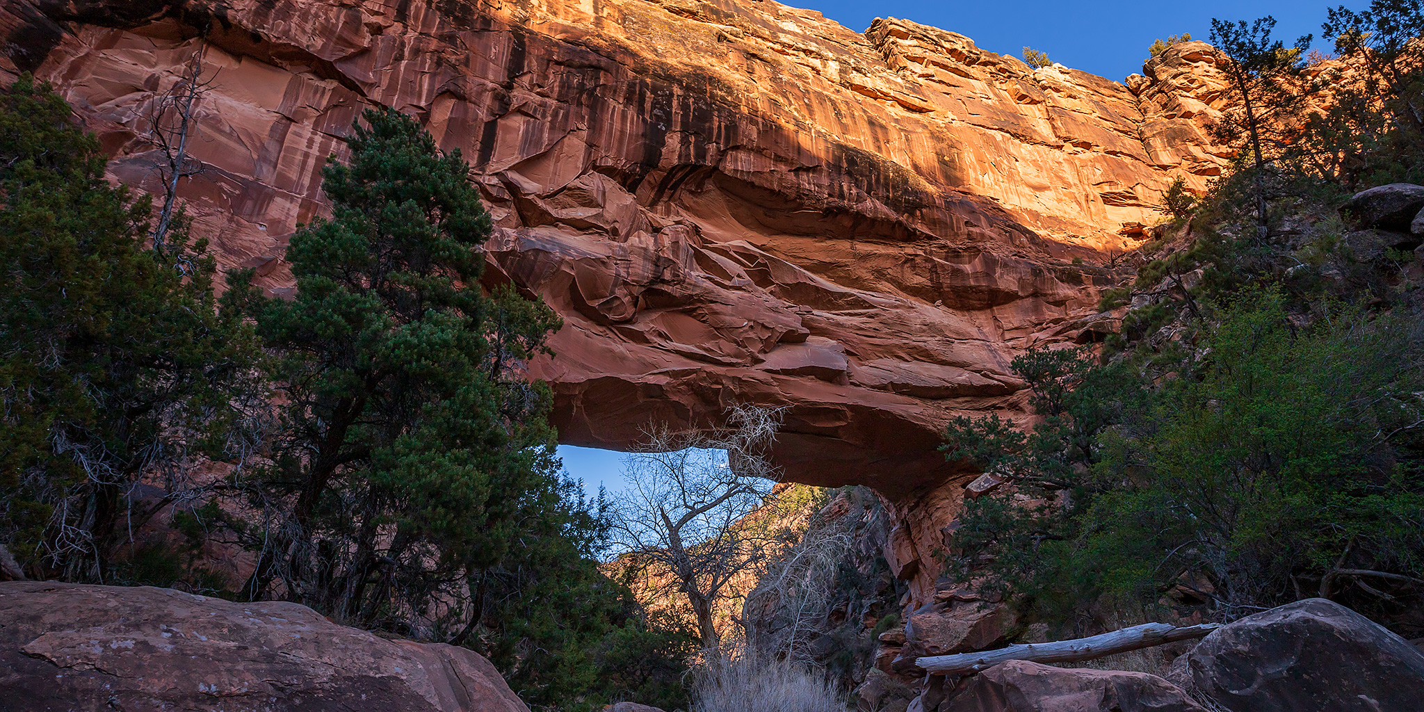
This evening after work I headed out on a short hike to visit Juanita Arch in Maverick Canyon, which is located near Gateway, Colorado. This is a hike that has been on my to-do list for over ten years, and now that I’m stuck staying closer to home for the foreseeable future, I though it was finally time to cross it off the list! After arriving at the trailhead, I scoped out the crossing of the Dolores River to figure out how I wanted to tackle it. I had brought along my packraft in case I needed it, but I saw a spot where it looked easy enough to cross on foot, so I decided to do that instead of dealing with the packraft. Although I had enough time to drive to the trailhead, hike to the arch and return to my Jeep just after sunset, I felt a little rushed on this hike and probably should have allotted more time to enjoy it. I guess that just means I’ll have to return another time in the future!

2 Comments

Thanksgiving Weekend on Cedar Mesa

Thanksgiving Weekend | Thursday – Sunday, November 28 – December 1, 2019

This year for Thanksgiving Diane and I planned to spend the long holiday weekend searching for ruins and rock art on Cedar Mesa like we usually do at this time of the year. However, this year we had to deal with a winter storm that impacted the area and required us to change our plans on the fly. Although I wasn’t able to hike in the canyons I had originally planned for this trip, we managed to avoid most of the weather and find things to do throughout the weekend. Here are some photos from the weekend in no particular order…

4 Comments

River of Sorrows: The Dolores River

Slick Rock Canyon | Big Gypsum Valley to Bedrock
Friday – Saturday, June 14-15, 2019

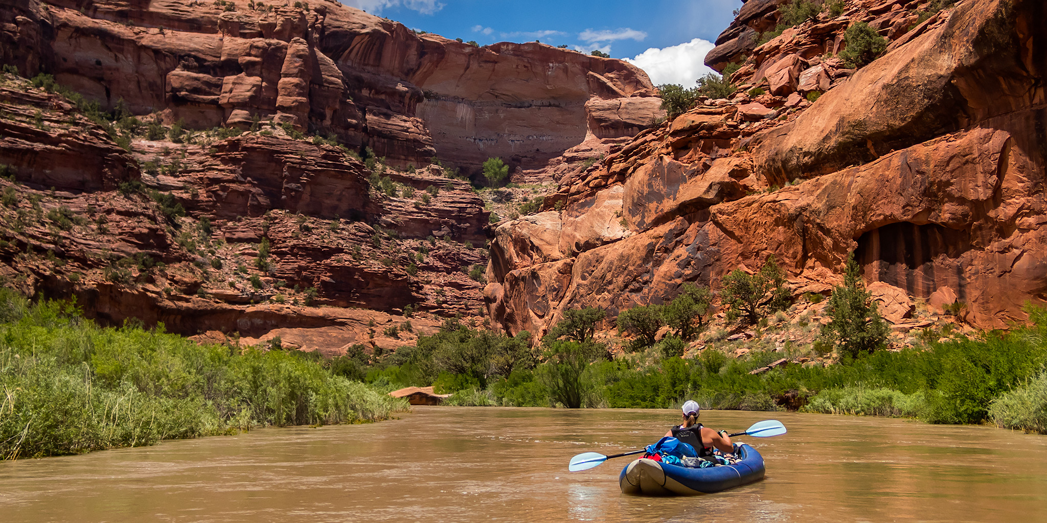
Early Spanish explorers called it El Rio de Nuestra Señora de Dolores, or the River of Our Lady of Sorrows translated into English. Today it’s known as the Dolores River, which begins as snowmelt high up in the San Juan Mountains near Bolam Pass and empties into the Colorado River in Utah after traveling through the canyon country of western Colorado. For a long time I have wanted to float the Dolores River through Slick Rock Canyon, which begins at Big Gypsum Valley and ends at Paradox Valley, but since the water of the river is usually siphoned off at the McPhee Reservoir upstream there is typically only a very short window of time to actually do it, if there is any opportunity at all! So far I had never been able to make the timing work for a trip, however, with the high snowpack in the San Juan Mountains this year it looked like I was finally going to be able to get my chance!

2 Comments

West End: Roc Creek Petroglyphs & Sewemup Mesa

Sunday, December 10, 2017

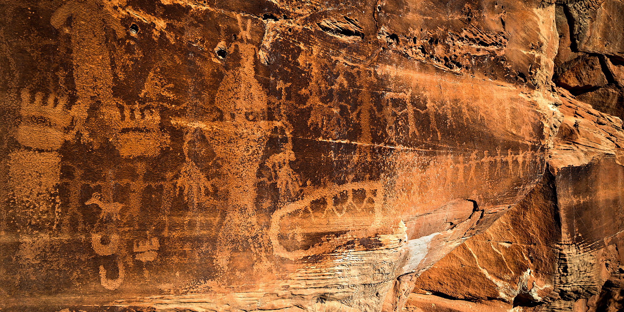
On Sunday morning we left home shortly after sunrise and drove through Unaweep Canyon to Gateway and then continued along the Dolores River to visit a petroglyph panel located in Roc Creek Canyon. We had actually spent some time searching for this particular panel a few years ago (I believe it was on our way back home from this trip to Paradox Valley), but were unable to find them that day while driving the road through the canyon and scanning the cliffs with our binoculars. At the time I had no clue where they were located, I only knew that there was supposed to be a panel of petroglyphs somewhere in the canyon. Then a few months ago I picked up a map from WETA (West End Trails Alliance) and was surprised to find that it showed a hiking trail right to the petroglyphs!

1 Comment