Friday & Saturday, August 21-22, 2020
This weekend I knew that the entire state of Colorado was going to be completely covered with smoke from wildfires since it seems like the entire West is currently on fire. After looking at smoke and weather forecasts for the weekend it looked like my best bet to escape the worst of the smoke might be to head down to the southwest portion of the San Juan Mountains, so I thought another visit to the La Plata Mountains would be a good idea. In order to continue my Summer of 12ers I decided to hike to a couple of peaks near Kennebec Pass along the Colorado Trail. It’s been about ten years since the last time I drove up to Kennebec Pass and I was looking forward to spending some more time hiking in this area again.
As usual, I left right after work on Friday afternoon and headed south along the Million Dollar Highway through Ouray, Silverton and Durango as I made my way to the La Plata Mountains. I followed the road along the La Plata River towards Kennebec Pass and found a spot to camp near the junction with the road into Columbus Basin just as it was getting dark out. The smoke was pretty thick out during the entire drive and I was hoping some of it would clear out by the morning. I climbed into my sleeping bag and went to bed early. On Saturday morning I woke up early and drove up the last couple miles to the Kennebec Trailhead. It was about thirty minutes before sunrise when I started hiking towards Kennebec Pass along Segment 28 of the Colorado Trail.
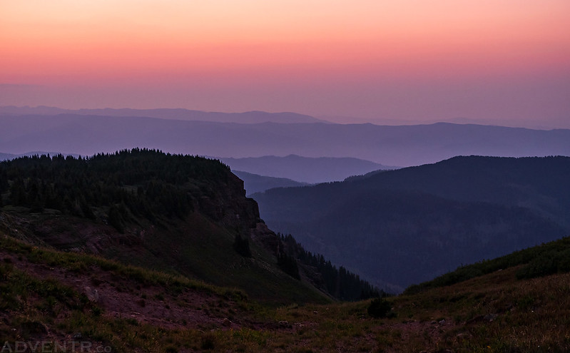
As I walked along the Colorado Trail towards Kennebec Pass there was still plenty of smoke in the air as the sky started to change colors.
When I reached Kennebec Pass it was a little bit windy, but as I climbed up onto the ridge towards Kennebec Peak the wind died down.
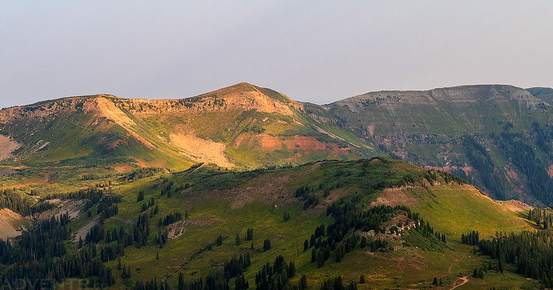
I walked along the ridge to Kennebec Peak and had a good view over Olga Little Mountain (11,426). If you are curious to learn more about who Olga Little was, I’d highly recommend reading this article from the Durango Herald: Olga Little: A mining-era legend of the La Platas
A smoky view down Junction Creek in the soft dawn light.
The ridge to the summit of Kennebec Peak was an easy and fun hike- plus the views were pretty nice, even with the smoke. I could even just barely see the Rico Mountains in the distance.
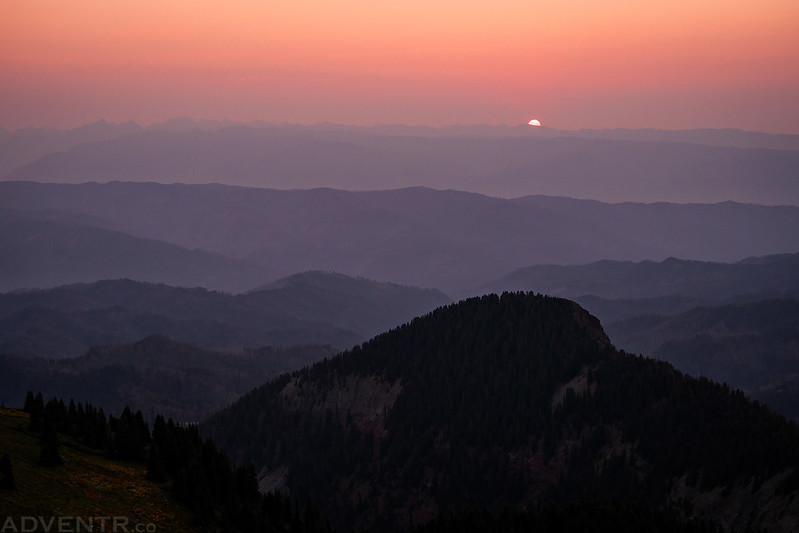
While I was walking along the top of the ridge I noticed something orange on the horizon out of the corner of my eye and it took me a few seconds to realize that it was the rising sun!
The sun rising over Olga Little Mountain.
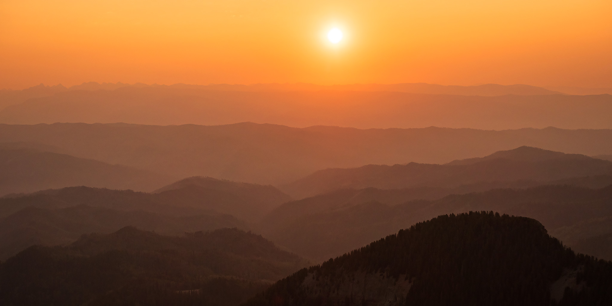
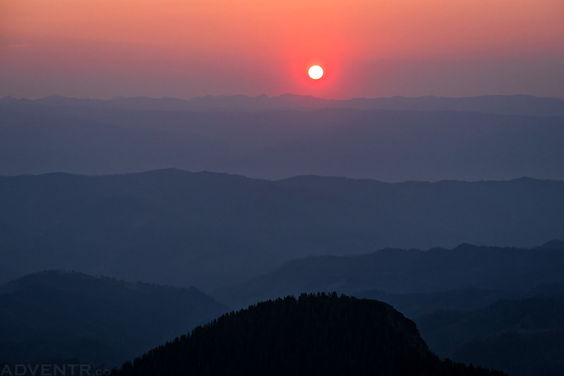
A closer look at the red sun over the smoky mountaintops.
Here’s a view looking back to Cumberland Mountain (12,388) over the ridge I had just walked across.
The color through the smoke at sunrise was pretty outstanding.
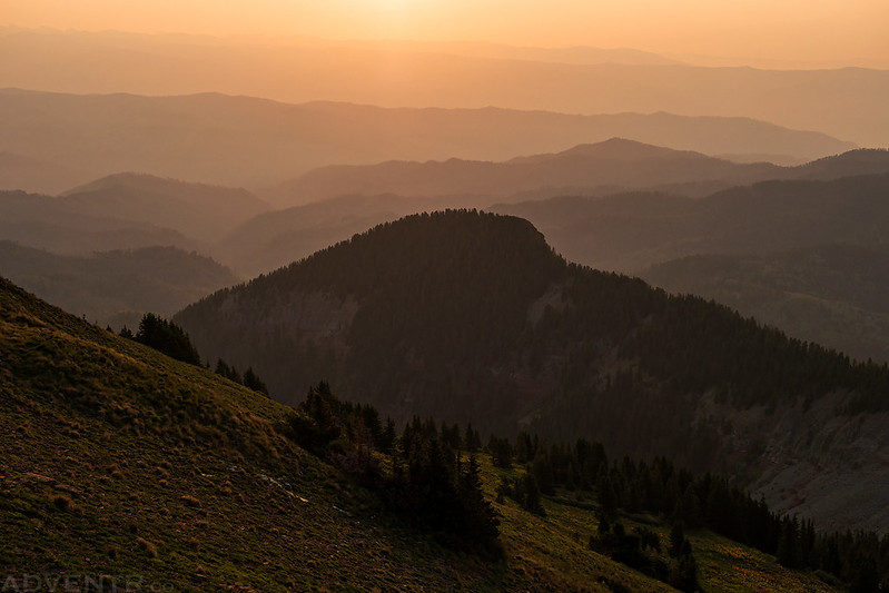
Sunrise Smoke Layers
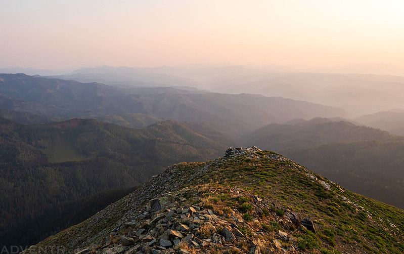
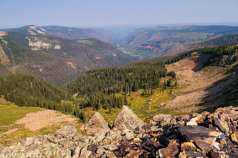
From the summit of Kennebec Peak (12,101) I had a smoky overview of the South Fork of Hermosa Creek.
Olga Little Mountain
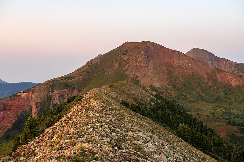
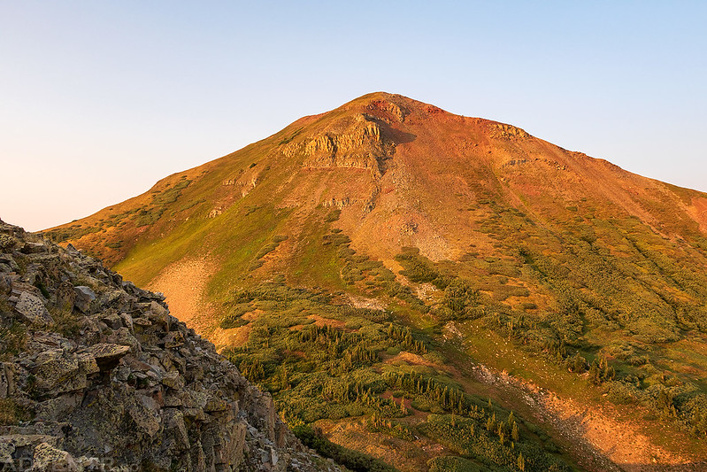
Early morning light illuminates Cumberland Mountain as I headed back to Kennebec Pass before starting to climb that one.
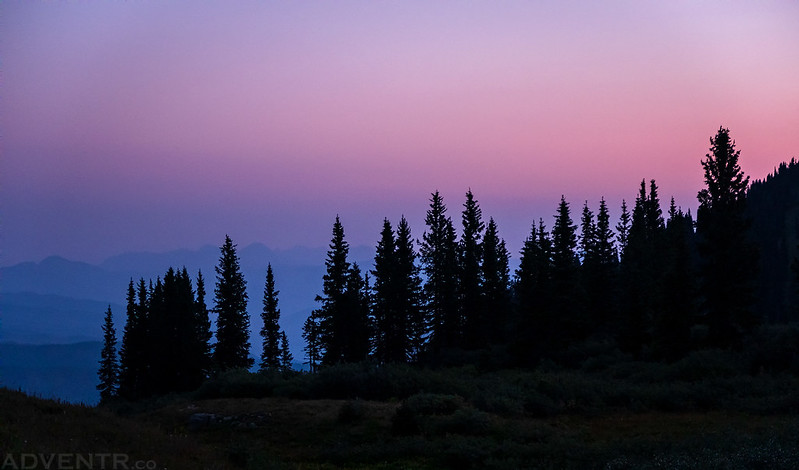
Trees & Smoke
While hiking back to Kennebec Pass I noticed the ruins of the Muldoon Mine on the east side of Cumberland Mountain, so I figured I would stop by to check them out before climbing up to the summit.
This outhouse was just hanging on over the edge.
It was an easy hike from the mine ruins up the east ridge to the summit.
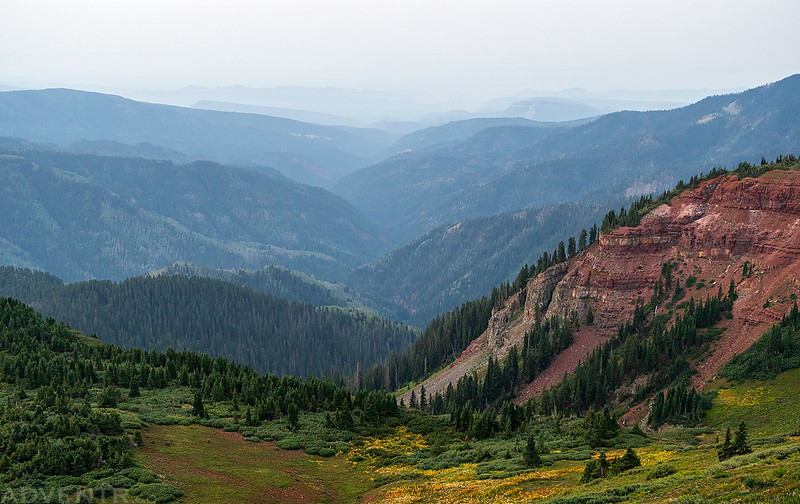
Another view down Junction Creek.
There was also a good view over Kennebec Pass to Kennebec Peak to the north.
To the south was Lewis Mountain, Snowstorm Peak and the Kennebec Notch.
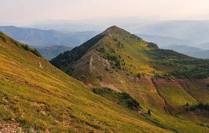
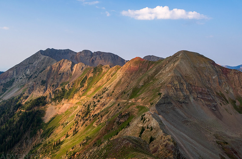
Once I reached the summit ridge I could see the high point of Indian Trail Ridge towering over PT 11905 to the west, which would be my next two destinations.
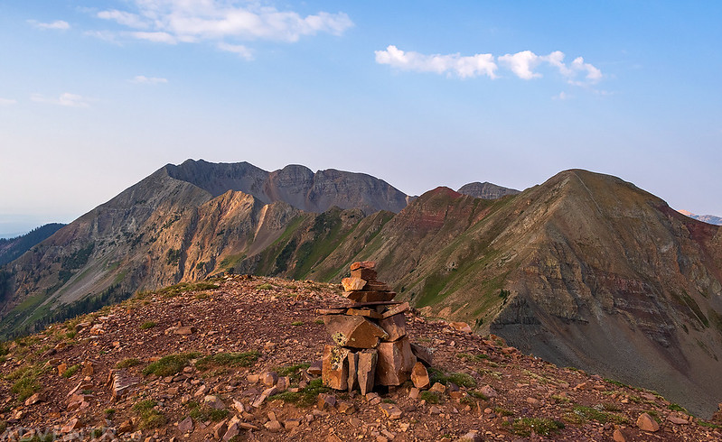
Cumberland Mountain Summit
Sun Rays Through Smoke
Looking back to the summit as I hiked down the northwest ridge toward the trailhead.
Rays From Above
There was nice dappled light on the La Platas to the west as I continued down the ridge. It actually seemed like the smoke was clearing up a bit at this point.
A nice view of Snowstorm Peak (12,511) over Cumberland Basin. I had hoped to climb this one next, but the ridge to the summit looked too steep and loose for me, so I decided to skip it for now and maybe come back to scout the route after climbing the next two peaks.
After passing by the trailhead I followed Segment 27 of the Colorado Trail to Indian Trail Ridge.
I followed the Highline Trail which climbed up on top of the ridge.
As the trail climbed higher I had a good view over Taylor Lake, which is the headwaters for the La Plata River.
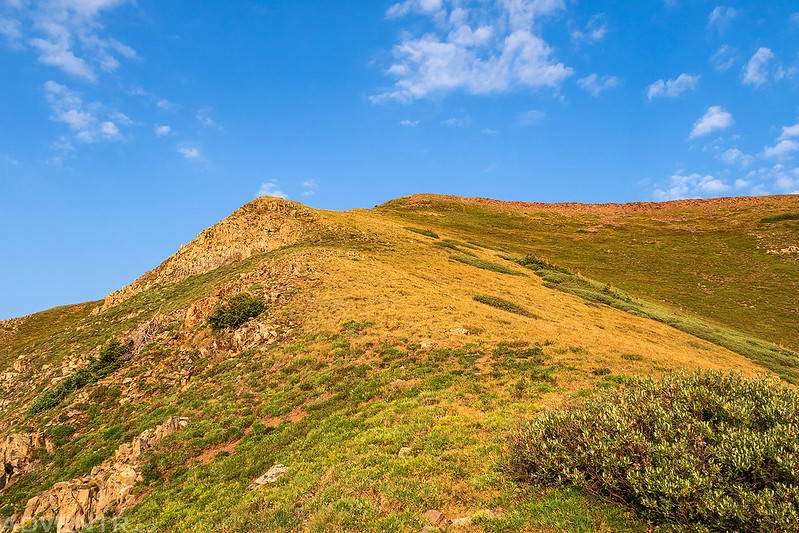
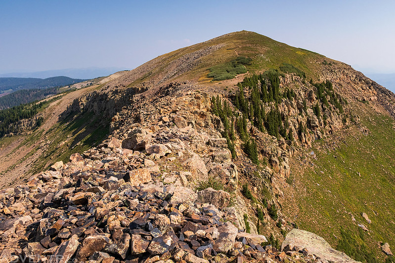
Once on top of Indian Trail Ridge it was an easy hike over to the highest point.
This part of the ridge reminded me of the Devils Causeway in the Flat Tops, but it wasn’t even close to as narrow.
Looking down from the narrowest part. As you can see, it started to get smoky again.
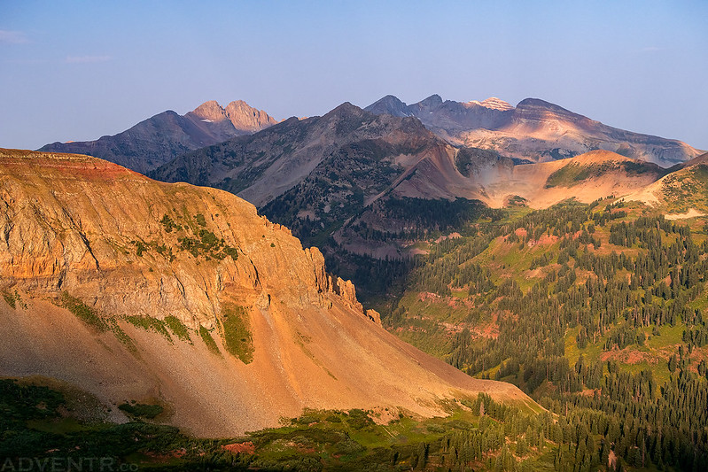
Soon I was on top of Indian Trail Ridge (12,338) with a great view of the La Platas over Bear Creek, including Hesperus Mountain and Centennial Peak.
On my way back to the trailhead I took a detour off the main trail to visit the summit of PT 11905. The top of this ridge was covered with thick willows, so I had to walk on the side of the hill below the willows. It was around this time that storm clouds were actually building in the sky to the west and I hoped we’d finally get a little rain today.
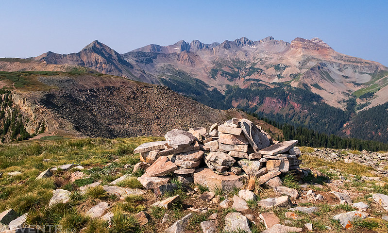
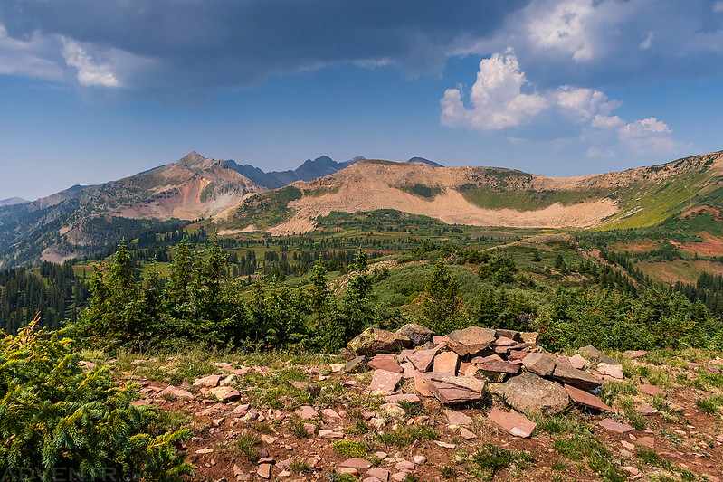
On the summit of PT 11905.
Diorite Peak (12,761)
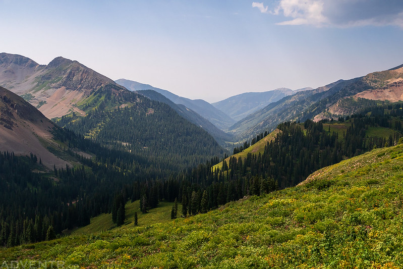
This was the view down La Plata Canyon as I returned to the Colorado Trail.
Once on the trail it was an easy hike back to the trailhead. I did hear a couple rumbles of thunder as I neared the trailhead, but it never rained.
I reached the trailhead shortly before noon and then drove up to the Kennebec Notch to get a closer look at the ridge up Snowstorm Peak. When I got there it looked pretty steep and loose, and with the recent rumbles of thunder I decided to skip trying it today. I drove down and headed back to Durango for lunch before continuing on to Silverton, where I planned to hike a couple more peaks before heading home on Sunday.















Thanks for sharing.