Leap Day | Saturday & Sunday, February 29 – March 1, 2020
This year Leap Day (February 29th) happened to fall on a weekend, so I thought it would be fitting to finally get out to Swasey’s Leap in the San Rafael Swell to celebrate. Swasey’s Leap (sometimes spelled Swazys) is a narrow part of the canyon near the beginning of the Lower Black Box of the San Rafael River that is only about 14 feet wide and 50 feet deep. The lore associated with Swasey’s Leap is that back in the late 1800’s Sid and Charley Swasey made a wager about Sid’s horse jumping the narrow gap at the top of the canyon. Sid said his horse could make it while Charley wagered his herd of cattle that he couldn’t. In the end Sid made the leap and won the cattle from his brother. From then on, this spot has been known as Swasey’s Leap or Sid’s Leap. Later, a sheepherder named Paul Hansen built a bridge over the gap made of cottonwood logs and an old wagon box, but this old bridge collapsed and fell into the river sometime in 1997. While I have driven out to the end of the Swasey’s Leap Road once before, I never actually hiked out to Swasey’s Leap, so I was looking forward to finally checking it out this weekend!
Diane and I left home early on Saturday morning and headed west on I-70 towards the San Rafael Swell. I topped off my fuel tank in Green River and then got off the interstate just before the San Rafael Reef so we could go on a short hike through Little Spotted Wolf Canyon, which cuts through the reef just south of the highway. I had actually planned to do this hike earlier this year when I hiked the Uneva Canyon & Three Fingers Canyon Loop, but I ran out of time that day. I figured this shorter hike would make a nice first stop this morning so we could get out and stretch our legs.
A lovely morning along the San Rafael Reef.
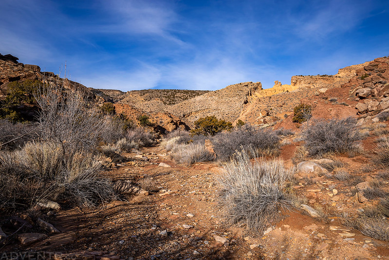
Following the wash to the entrance of Little Spotted Wolf Canyon.
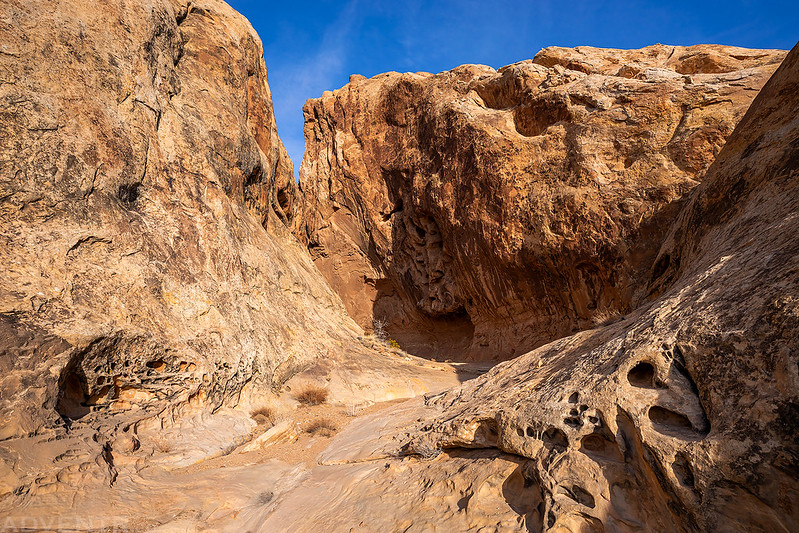
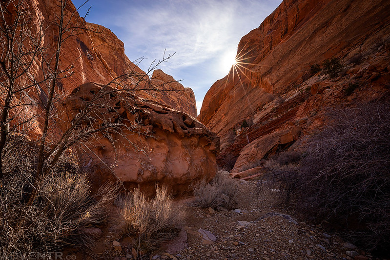
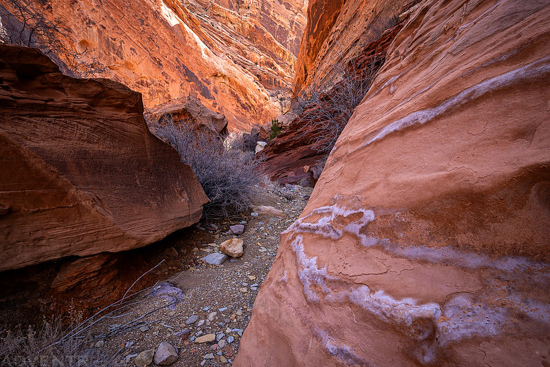
Entering the narrow canyon where it cuts through the reef.
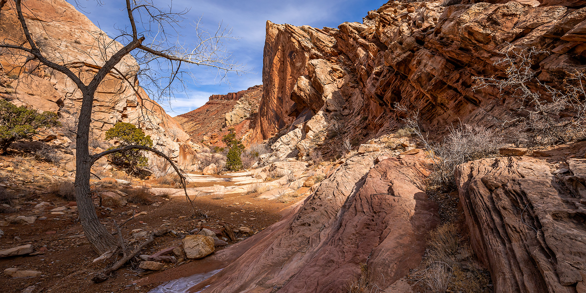
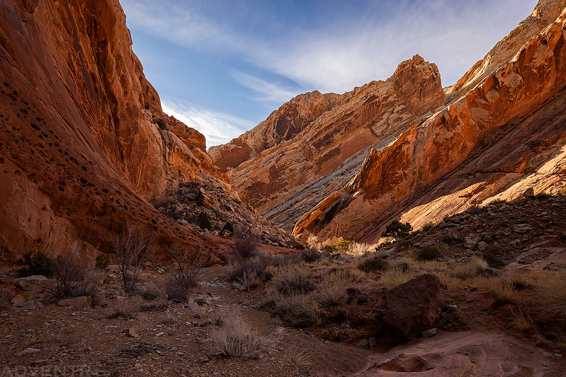
Like with most of the canyons that cut through the San Rafael Reef, it was pretty beautiful inside.
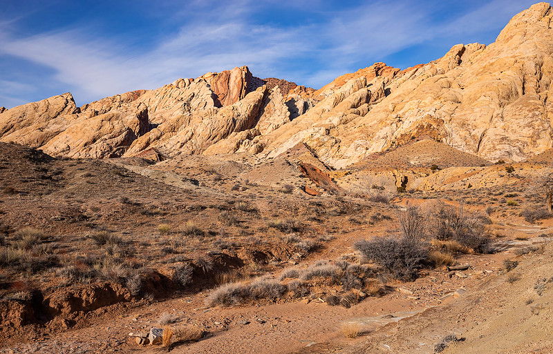
Land of Tilted Rock
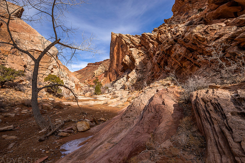
After exiting the reef we found ourselves hiking up the wash through the San Rafael Reef Wilderness on the other side. We hiked a little bit further until it got rocky and then we turned around.
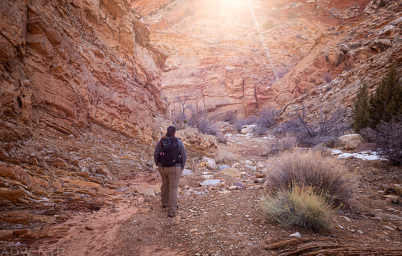
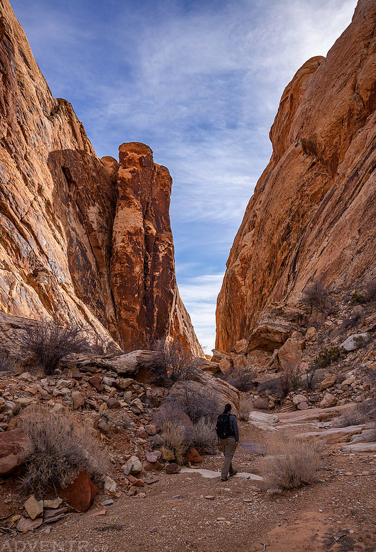
Hiking back through the canyon.
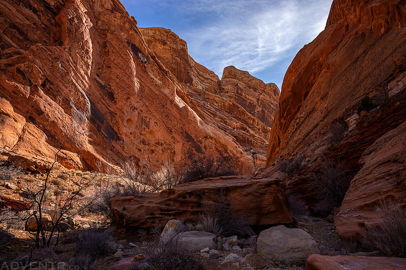
I think the views were even better on the way back!
Leaving Little Spotted Wolf Canyon
After we returned to my Jeep at the trailhead we got back on the interstate and drove up to the Temple Mountain Road junction on top of the San Rafael Swell. There was a lot more snow on the ground up there than I was expecting and with the warming temperatures I knew the roads were going to be muddy, but I hoped they weren’t going to be bad enough to make us turn around and abandon our plans. At first the roads were snow covered and muddy as expected, but after driving a few miles and descending a couple hundred feet of elevation the snow disappeared and the roads dried out. Of course, that didn’t stop my Jeep from getting all muddy before then! We finished the drive out to the end of Swasey’s Leap Road and then hiked the remaining two miles into the newly-created Mexican Mountain Wilderness until we were at the edge of the San Rafael River looking down on Swasey’s Leap. Of course, clouds had moved into the sky after our morning hike and it was pretty overcast out for much of the afternoon. We could see a little blue sky on the horizons, but it seemed there was a bank of clouds parked directly above us.
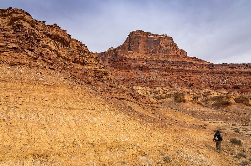
Following the old road into the Mexican Mountain Wilderness.
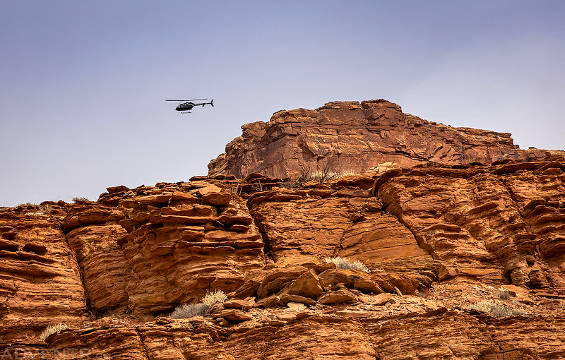
While we were in Little Spotted Wolf Canyon earlier in the morning a helicopter had flown over us, and I believe this is the same helicopter which we saw again while hiking out to Swasey’s Leap.
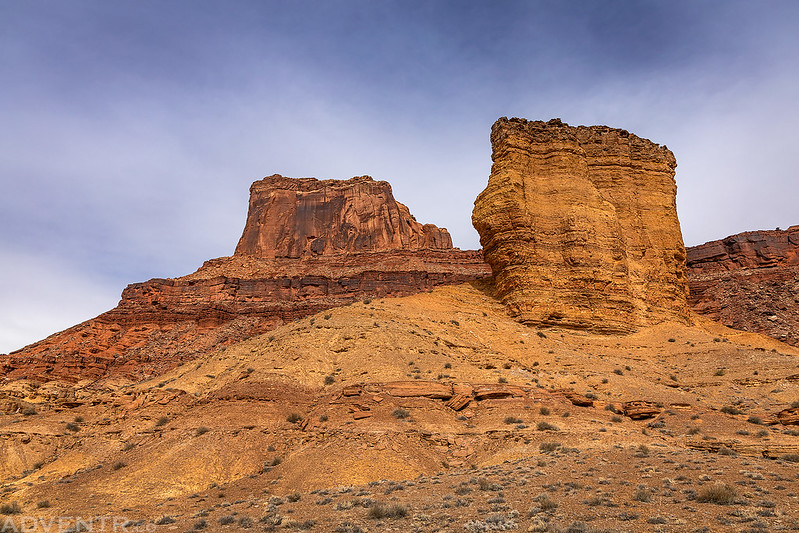
This chimney-like rock below Mexican Mountain was a constant landmark during the hike.
As we neared the San Rafael River we had a good view into Mexican Bend.
Soon we found ourselves looking down on the San Rafael River.
Looking the other direction was a good view over the Lower Black Box. I am really hoping to finally hike through this canyon sometime later this year!
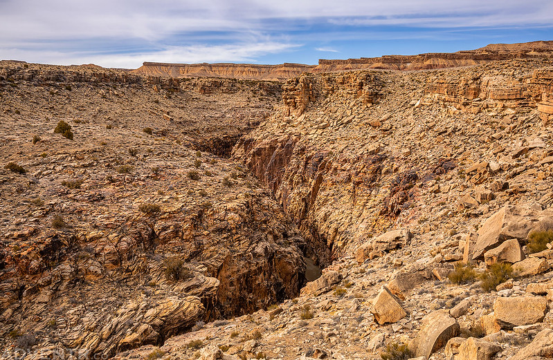
Once we reached the point near the end of the old road we had a good view down to Swasey’s Leap. It’s that spot where the sandstone is more of a reddish color at the point.
Next, we descended below the rim and found our way over to Swasey’s Leap.
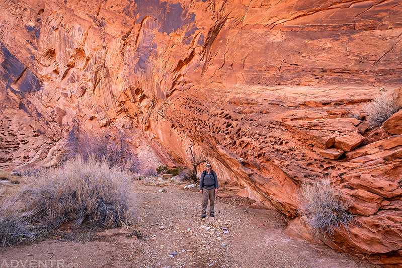
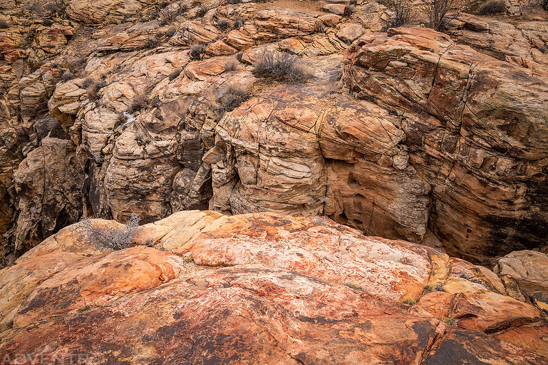
Here’s a closer look at the colorful reddish sandstone found at the leap.
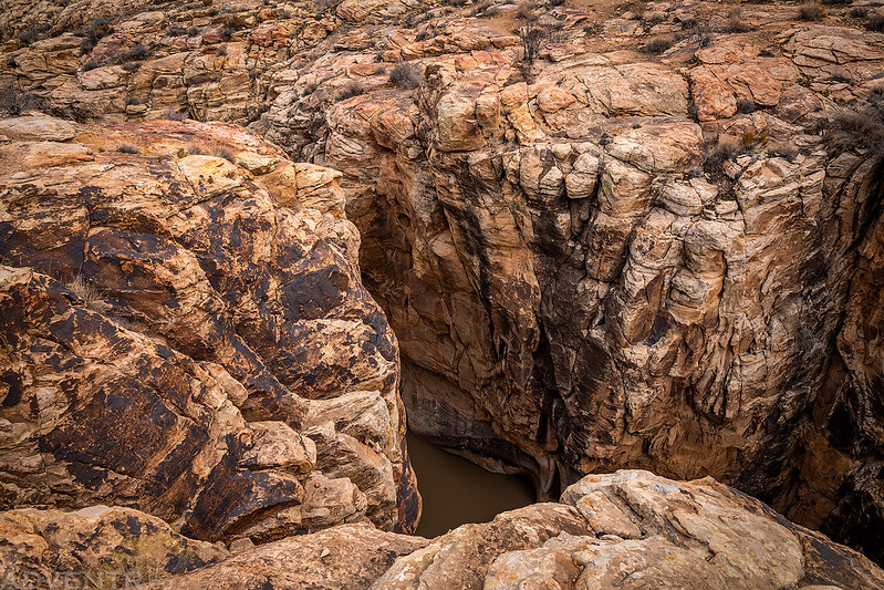
It was pretty difficult to get a photo that shows the leap and the chasm below, but here’s the best I was able to do. You can see the colorful sandstone at the narrowest part of the canyon in the upper left of this photo.
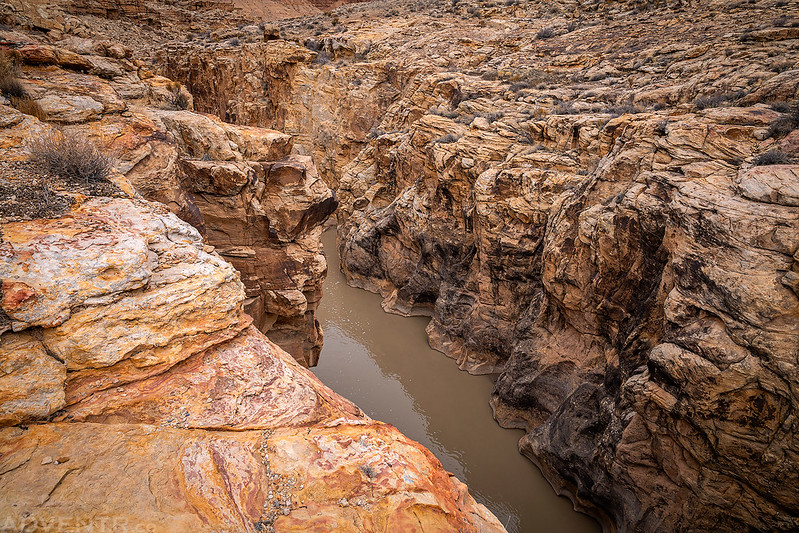
Here’s a view just to the left of Sawsey’s Leap.
…and just a bit further to the left is the beginning of the Lower Black Box.
After sitting down to have a snack and a rest at Swasey’s Leap for a little bit we then hiked a trail to the north that went down to the San Rafael River.
The trail to the river passed below Smoke Stack Tower.
Overlooking the San Rafael River near the bottom of the trail.
After hiking back up from the river we followed the old road back to the trailhead. Of course, the sun started to come back out as we got closer to the trailhead!
Follow The Yellow Dirt Road
A little blue sky over Mexican Mountain.
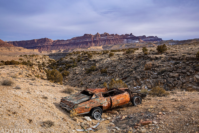
This old car was along the route just before reaching the trailhead.
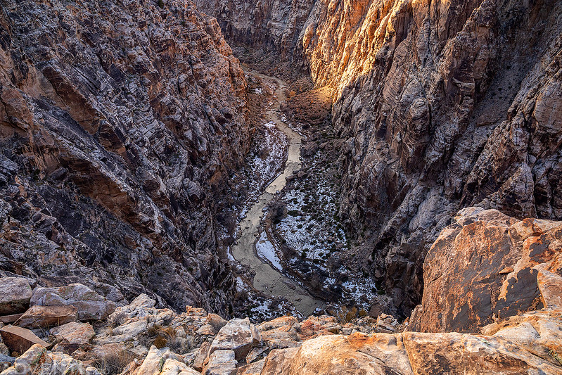
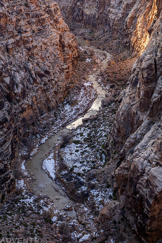
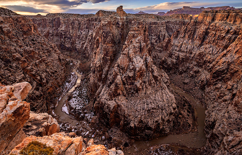
With the sun out again I decided we had time to go on one more hike so we could check out a bend of the San Rafael River in the upper Black Box that I saw on the map. I had no idea what it was going to look like, but on the map it looked intriguing enough for a short hike to investigate. I’m glad we went because the view into the Black Box from here was pretty amazing! I kind of reminded me of the Black Canyon of the Gunnison in Colorado. Since the overlook turned out to be really nice, we decided to have dinner and stick around there until sunset.
My Jeep on the road back from the Swasey’s Leap Trailhead.
Here’s one of the signs you’ll find along the road. There were signs that spelled it both Swazy and Swasey.
Black Box Bend
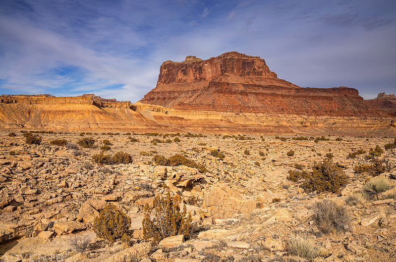
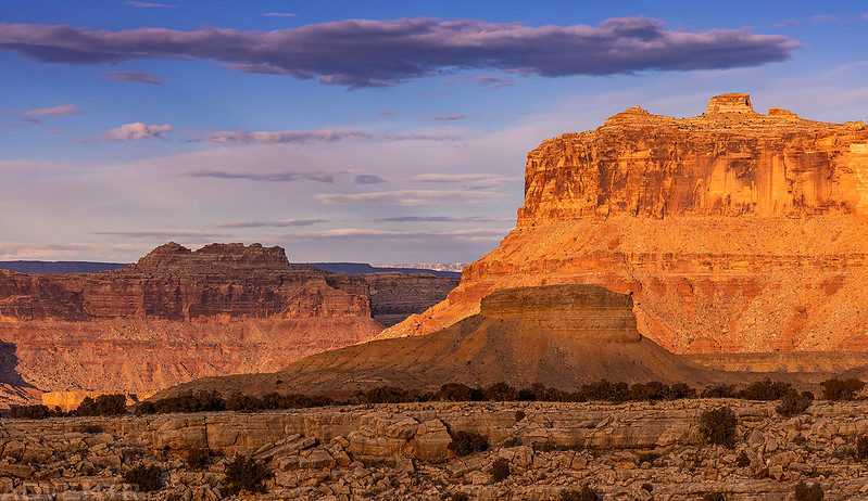
Little Butte
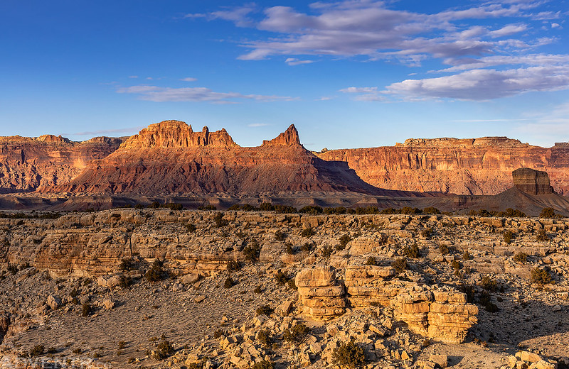
Across The Black Box
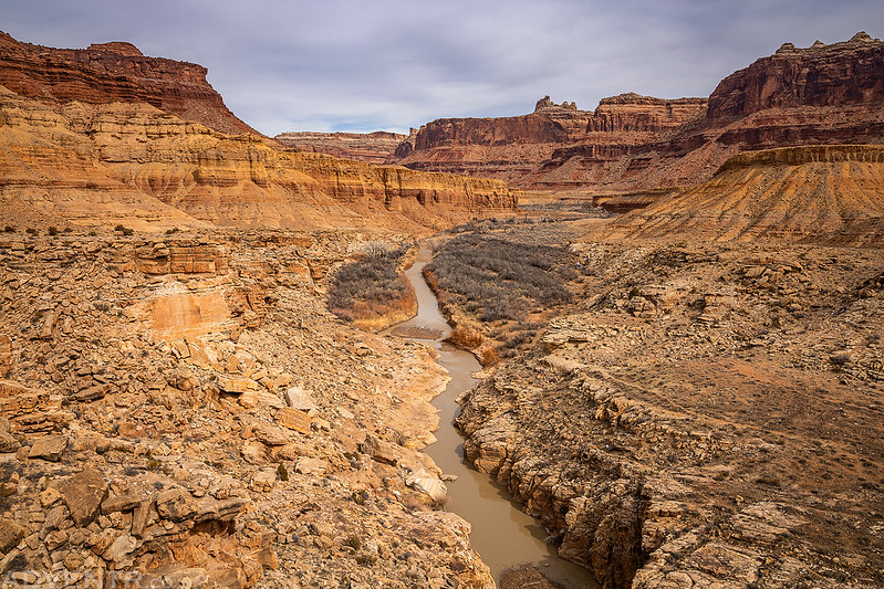
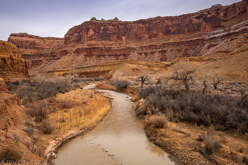
Looking down to the San Rafael River in the bend below.
This big spot of orange lichen caught my attention.
One last view of the bend in the San Rafael River before sunset. Unfortunately, more clouds moved into the area and a nice sunset never happened. Still, it was a nice place to spend the evening!
By the time we returned to my Jeep again it was dark out and we still needed to find somewhere to spend the night. We drove down the road a little further until we reached a campsite we had spotted on the way in and got our tent set up. It had been a long day and we were tired, so we got into our sleeping bags and went right to bed. We were serenaded to sleep by the sounds of wild burros nearby. It’s no wonder they call this area the Jackass Benches!
Saturday had been nice and warm during the day and the temperature didn’t drop much overnight since it was still kind of nice out when we got up on Sunday morning. My Jeep said it was about 40 degrees out just before sunrise. The sky was full of clouds again, so there wasn’t much of a sunrise, but there was a little color on the eastern horizon where we could see through the San Rafael Reef to the La Sal Mountains in the distance.
There were interesting clouds in the sky on Sunday morning.
This is the best sunrise view we would get. It was still a great view to wake up to in the morning!
We packed up camp and then finished the drive back to the Temple Mountain Road junction. Even though the temperature had not dropped much overnight, it was cold enough out that the roads were a little frozen and we didn’t encounter much mud on the way back. I had another hike planned for Sunday before heading home, but with the temperature warming up and the roads getting worse I figured it would be best to save it for another day. Instead, we called it a weekend and headed home a little early, which gave me time to spend $20 at the car wash in the afternoon to get all the mud off my Jeep since I had to get some work done on it later in the week!

















Very cool. Always wanted to explore that area.
As always a lovely pictorial tour and story told. Thank you.
Love your stories and photos … also love that area of the San Rafael Swell! Thank You!
So jealous of your life! Do you think Sid really made that jump?
I think so. Although I wouldn’t attempt to jump the gap, I think a horse would have no problem making the leap.
As a descendant of the Swasey clan I can attest to the truth of the statement. The Swasey bloodline has been known for their wild side since the surname came into use.
Great report and photos as usual and you are right, that Black Box Bend is spectacular! Thanks fro sharing!
Great shots! A buddy and I made a very similar trek, starting at that old car. It was brutally hot, and we made it to the “leap,” but the sun blasted us on the way back (think one of those New Yorker cartoons with two guys crawling across the desert). I intend to go again when it’s cooler. In the meantime, I hope you enjoy some of my own photos of the Swell: https://swellphotographs.com.