Gila Cliff Dwellings National Monument
My 40th Birthday Foray into Arizona and New Mexico
Thursday, February 13, 2020
After our nice overnight trip into Aravaipa Canyon, Thursday was going to be a shorter and easier day for us. Today we planned to drive up into the Mogollon Mountains from Silver City to visit Gila Cliff Dwellings National Monument, which is a small Monument that was established in 1907 by Theodore Roosevelt at the edge of the Gila Wilderness. In case you didn’t know, the Gila Wilderness was the nation’s very first designated wilderness area. Although we didn’t have much time to visit this large wilderness area on this trip, I would certainly like to return in the future for a longer backpacking trip.
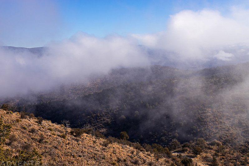
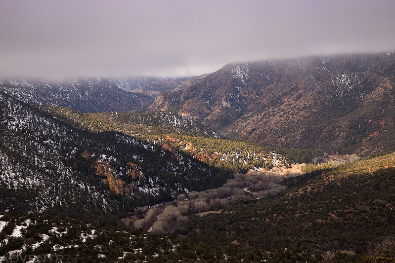
It’s a bit of a drive from Silver City to reach the Gila Cliff Dwellings via a narrow winding mountain road, but since the hiking trail to the ruins doesn’t open until 10:00am in the winter we were in no hurry and were able to get a later start. The temperature had dropped overnight with the passing of the latest storm, and as we climbed up into the mountains we noticed that there had been a little snow overnight and there were slick spots on the road we had to watch out for. After crossing over the Los Pinos Range we stopped on the top of a narrow exposed ridge before descending to Sapillo Creek since we noticed that the valleys below us were filled with fog. These are my favorite conditions to photograph so we stopped to take photos as the fog lifted out of the valleys and burned off. We wandered around the edges of the ridge for about an hour and even saw a Brocken Spectre while we were up there. This was the fourth Brocken Spectre I have seen now and the first one Diane has seen, and even though it’s not the best one I’ve seen, it’s always a special sight!
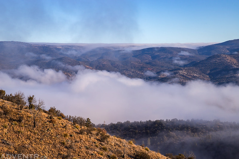
Low clouds filling the valleys of the Gila Wilderness.
A layer of fresh snow on Tadpole Ridge.
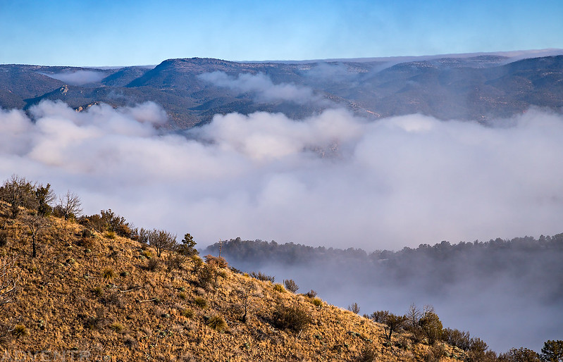
It was fun watching the fog lift out of the valleys below us.
Here’s a small patch of fog that we watched hover above these trees as it moved through the valley.
Mogollon Mountains in the clouds.
A shot of Diane’s Edge parked on the ridge while we watched the fog.
Watching the clouds lift out of the valley and burn off above us.
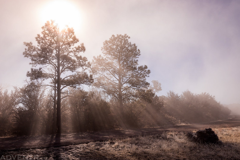
Beams of light through the trees.
This is the fourth Brocken Spectre I have seen now. It wasn’t that long ago that I saw my third.
Brocken Spectre & Fogbow
Clouds In Motion
After watching the clouds for about an hour, it was time to continue down the ‘Trail of the Mountain Spirits’ to the Gila Cliff Dwellings.
Once we descended to Sapillo Creek we found ourselves under or in the clouds for the remainder of the drive.
A view of the Gila River with a little light getting underneath the clouds.
We followed the road through a narrow corridor into the Gila Wilderness until we arrived at Gila Cliff Dwellings National Monument. We made a quick stop at the Visitor Center and then headed over to hike the short loop trail to the ruins.
Welcome to Gila Cliff Dwellings National Monument
After leaving the parking lot we crossed this bridge over the West Fork of the Gila River and then continued up the small canyon which crossed a couple of other bridges before we started climbing up to the ruins. There was a little snow and ice on the trail in the shaded canyon.
This way to the cliff dwellings…
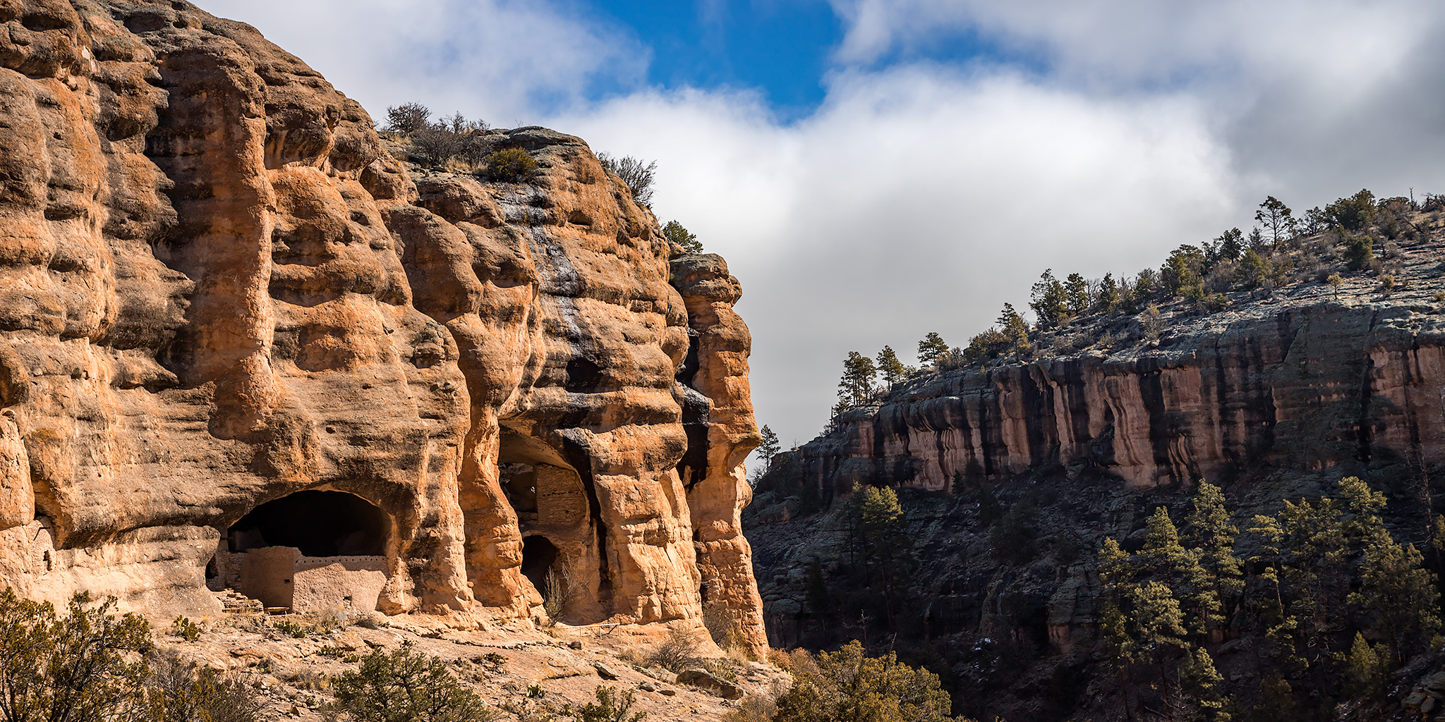
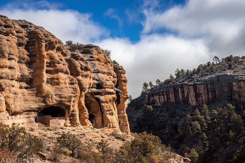
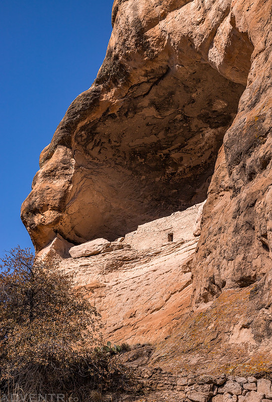
When we neared the top of the trail we had a good overview of the Gila Cliff Dwellings.
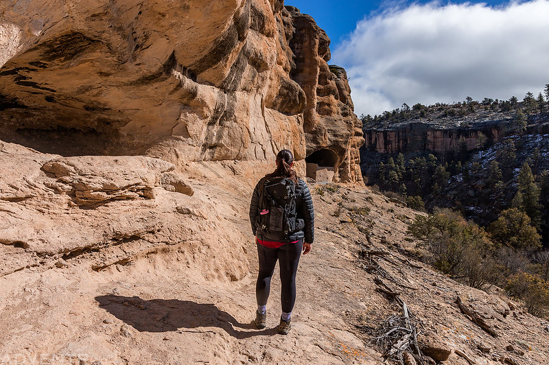
The trail followed along the cliff to the alcoves containing the ruins.
A T-shaped door in one of the smaller alcoves above the trail.
There is a trail that takes you into parts of the main alcove so you can get a closer look at the ruins.
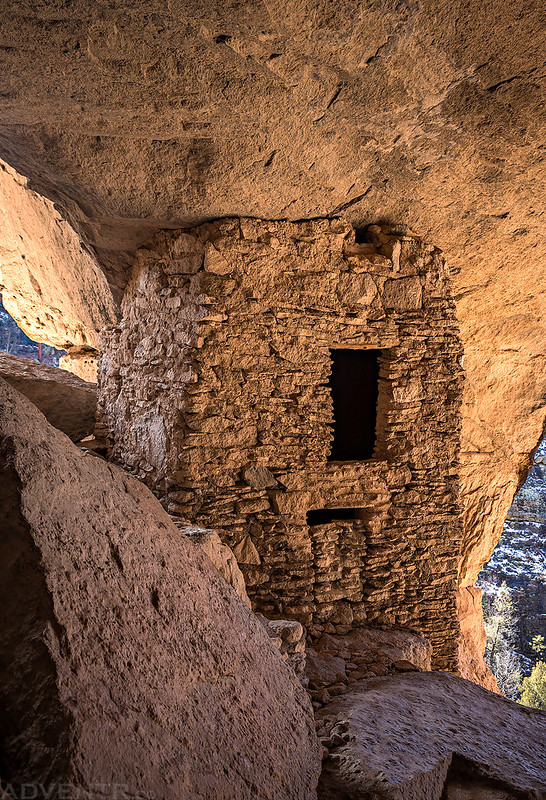
This tower was probably my favorite ruin in the alcove.
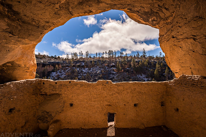
Looking out from the massive alcove.
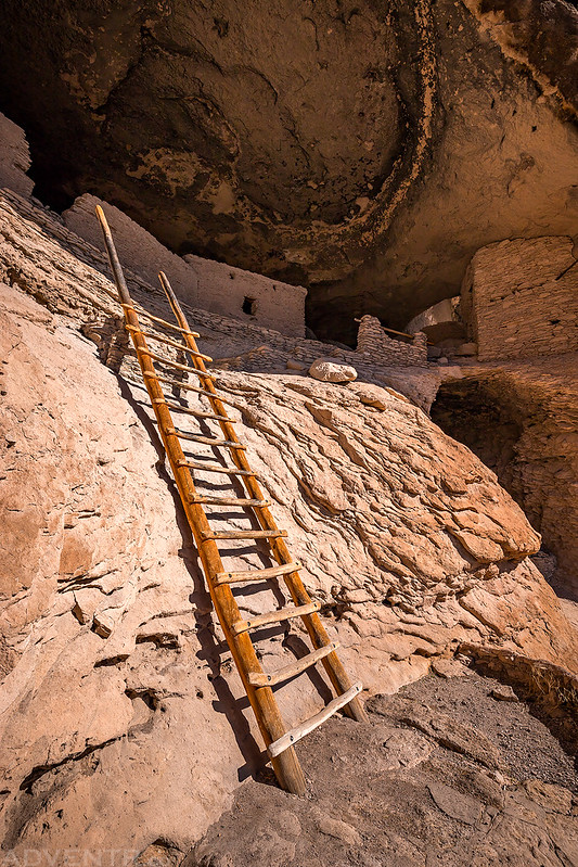
We left the alcove using this ladder.
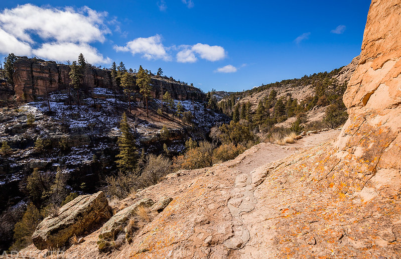
The trail above Cliff Dweller Canyon and below the ruins.
One last look at the ruins in the giant alcove above us.
Heading back down the trail to complete the loop.
This part of the trail was in the sun and had some muddy sections.
There were a few clouds left hanging over the West Fork valley.
After finishing the loop we headed over to the Lower Scorpion Campground and hiked the short Trail to the Past so we could visit a couple pictographs and another small dwelling.
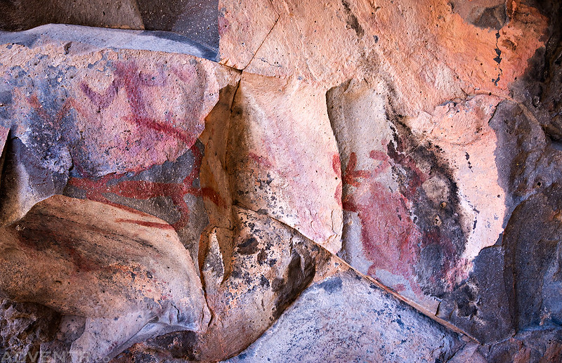
There were a bunch of red pictographs at the end of the trail.
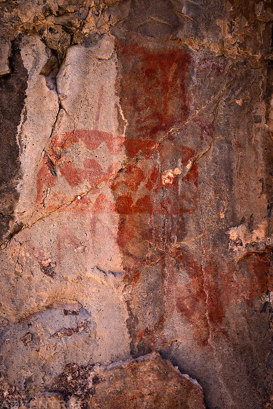
This was probably my favorite pictograph at the site, but the light on it was terrible while we were there.
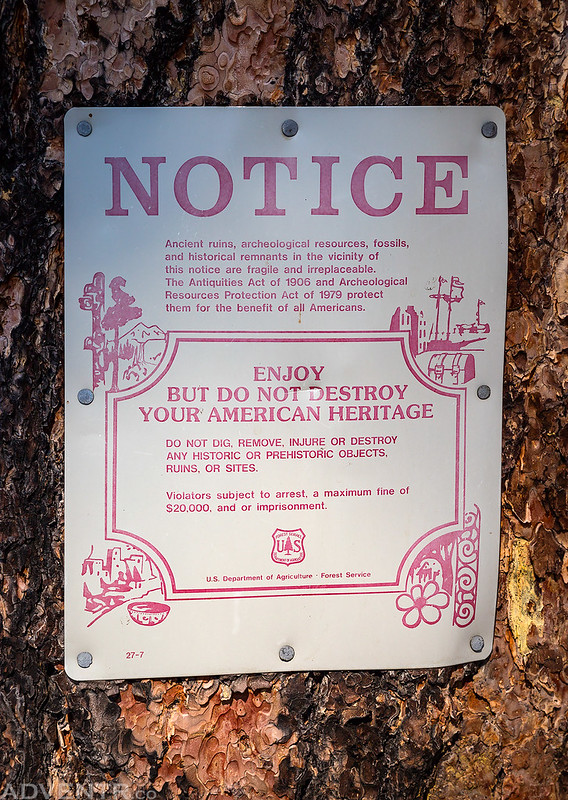
NOTICE
This small ruin was found under an overhang at the other end of the trail.
Before leaving the area we stopped to hike the trail along the Middle Fork of the Gila River to the first crossing of the river, which wasn’t very far. We had considered bringing along our neoprene socks for the river crossings and going all the way to the Lightfeather Hot Springs, but it was just too cold out today and we weren’t feeling up for it.
Middle Fork of the Gila River
After spending a few hours around Gila Cliff Dwellings National Monument it was time for us to head on to our next destination. We took a different route back and followed the Mimbres River past Cookes Peak (which now I want to come back and climb) to Deming where we got back on the interstate and headed east to Las Cruces and then into the Tularosa Valley. We would be spending the night in Alamogordo and shortly after arriving in town Diane took me out to Johnny Carino’s Italian Restaurant for my birthday dinner.
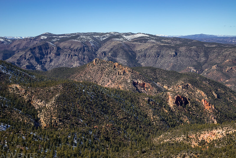
This is a view of the Alum Mountain Eruptive Center from the Senator Clinton P. Anderson Overlook.
