Saturday & Sunday, August 21-22, 2010
Since Amanda had to work this weekend and I didn’t want to travel too far from home, I headed out to explore the La Sal Mountains as part of my Laccolith Tour this year. I have been to the La Sals a number of times before, so I have driven most of the main trails, so my goal this trip was to explore some new ones. From my house I headed up Unaweep Canyon to Gateway and then took John Brown Canyon up into the foothills of the La Sals.
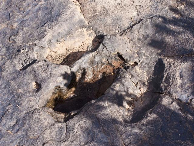
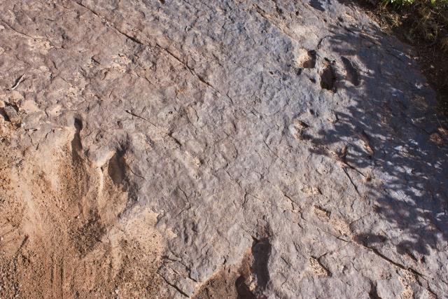
Before getting started on my first trail, I stopped along the Castleton-Gateway Road and found some dinosaur footprints that I knew were in the area.
The best print
One filled with some dirt with the other one in the background
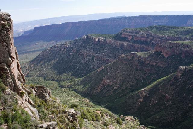
Overlook near the dino prints
My next destination was to check out the trail on Fisher Mesa. This one had been on my to-do list for a while…..
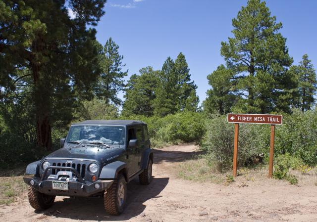
Along the trail I stopped and made a short hike to a geocache that was hidden near an old cabin on the rim of Fisher Mesa
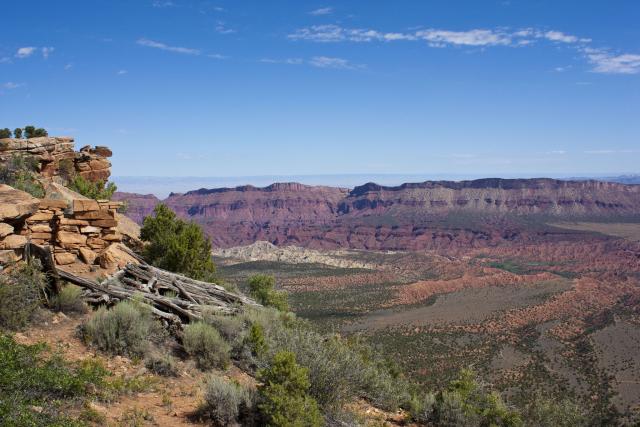
Great view from the old cabin
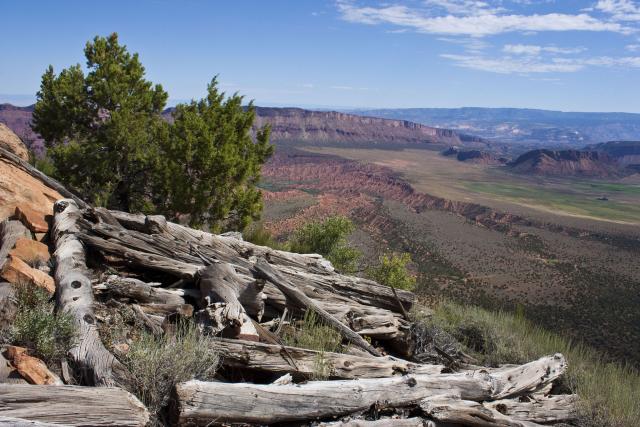
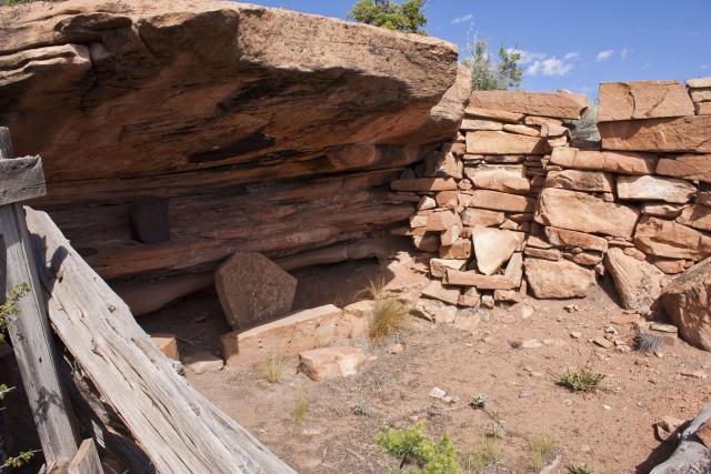
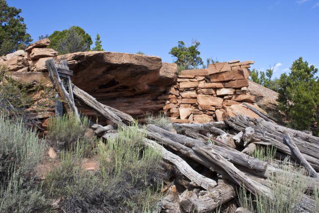
An open area of the mesa, looking over Castle Valley in the distance
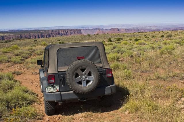
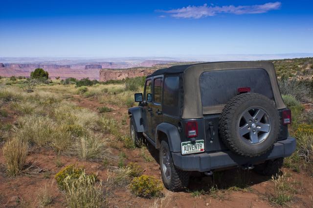
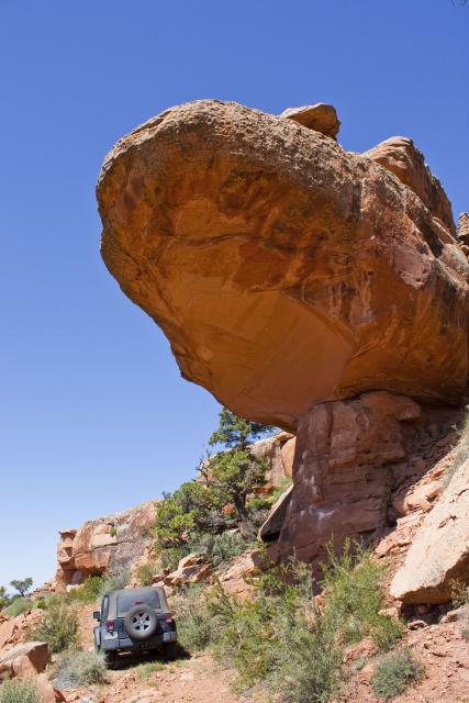
A little further along the trail I got to drive under this large overhanging rock
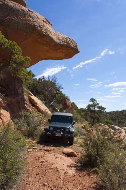
I wouldn’t want to be under it when it finally comes down….
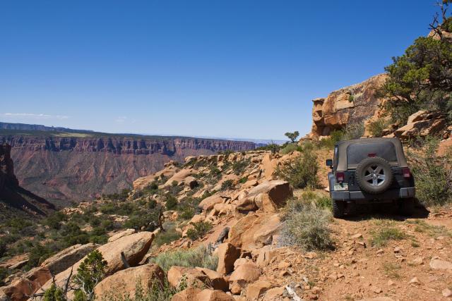
View from the end of the trail
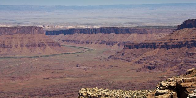
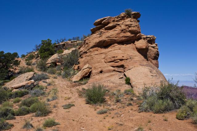
Heading back
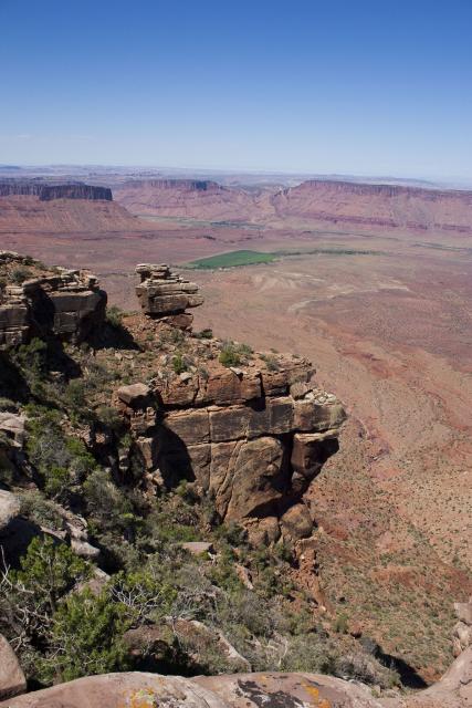
From another overlook along the trail
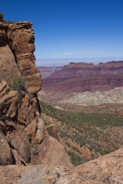
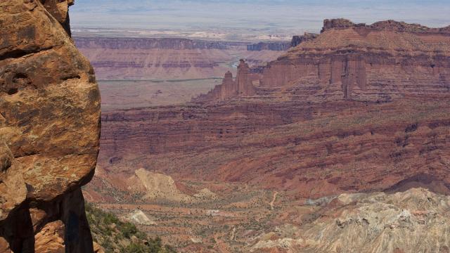
Fisher Towers
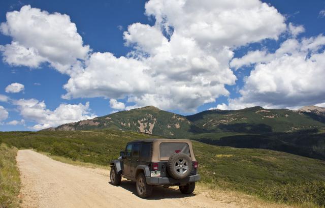
Next I took the La Sal Mountains Loop Road around to Warner Lake
Warner Lake
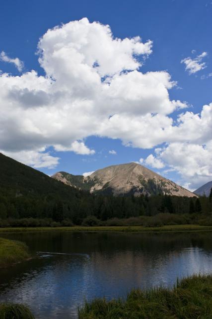
Reflection
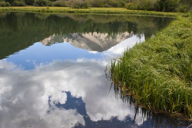
Then I headed up to Geyser Pass
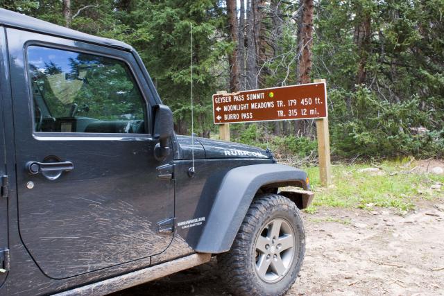
Making my way to the Burro Pass trailhead
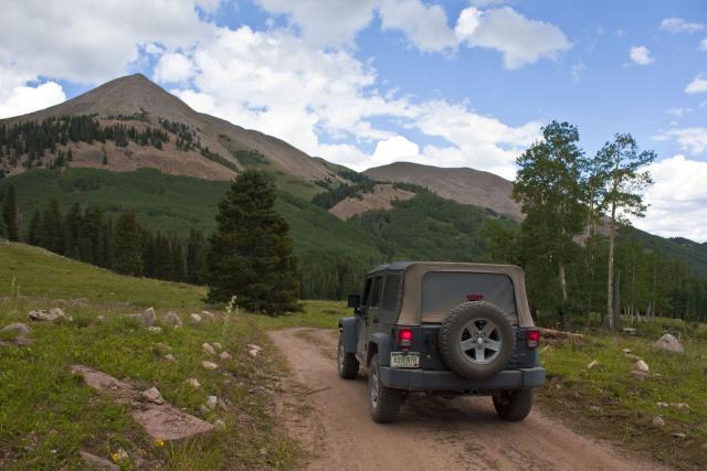
On my way down to the Taylor Flats Road
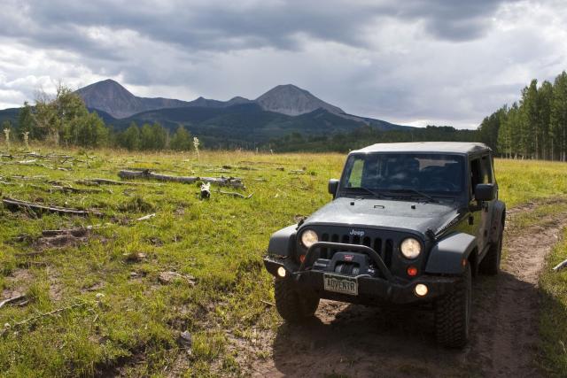
Since I was unable to top off my fuel in Gateway earlier that day, I needed to stop in Moab for some gas and I grabbed a bite to eat while I was there, too. Then I followed the Sand Flats Road back up into the La Sals.
View from the Castle Valley overlook along the way
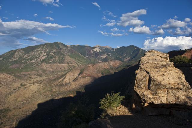
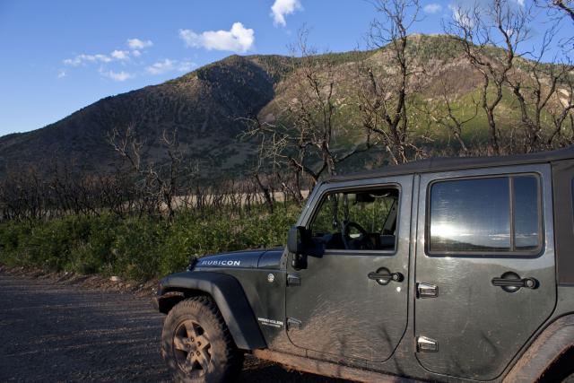
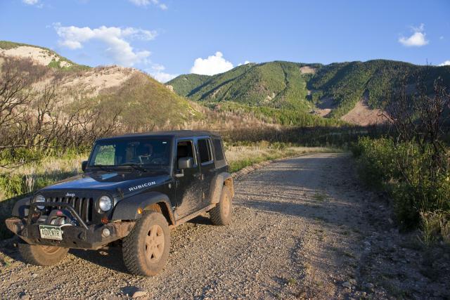
Driving through the burn area in Pinhook Valley
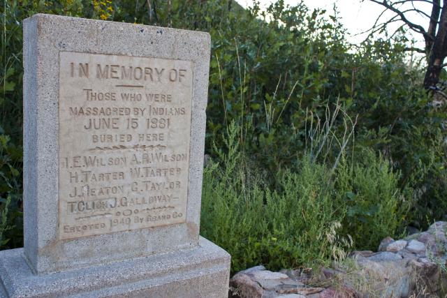
Memorial at the end of the Pinhook Battleground Road for those who were massacred by Indians in 1881
I decided at the last minute that I wanted to hike around the Fisher Towers in the morning, so it might be a good idea to camp there for the night. As I was heading to the towers, I caught a glimpse of the glowing mountain and mesa behind me in my rear-view mirror, so I had to stop and take a few photos.
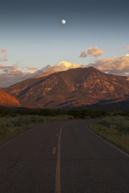
Adobe Mesa glowing bright orange
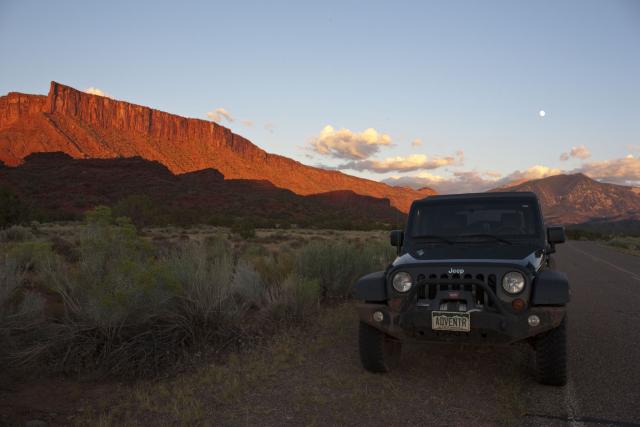
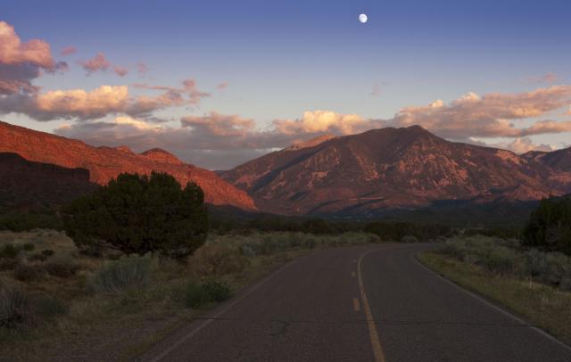
When I arrived at the Fisher Towers, the moon was shining between them
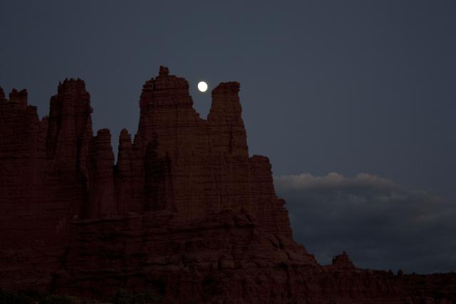
After a good nights sleep I did some hiking around the towers before heading out
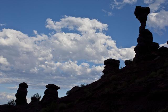
Hoodoo silhouette
After completing the hike and making it back to my Jeep, I was going to take the Onion Creek Road back up into the La Sals. Those plans were changed when I reached this…
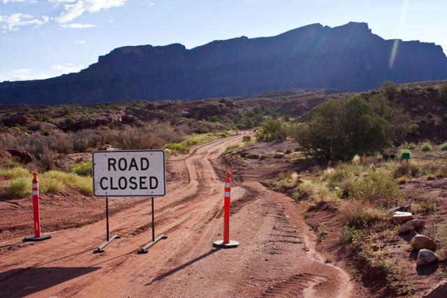
Apparently this road was washed out by the recent storm, too.
Instead I took a few short side roads in Castle Valley
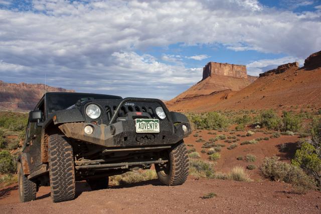
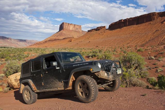
..and then a few more short trails near Willow Basin that all seemed to end at private property before making my way up to Polar Mesa.
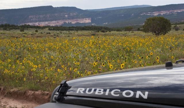
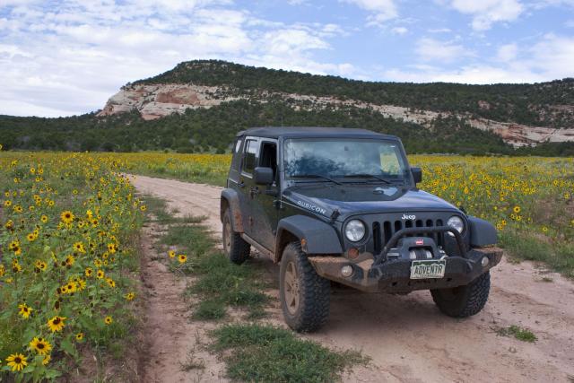
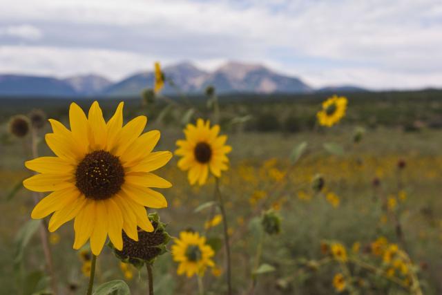
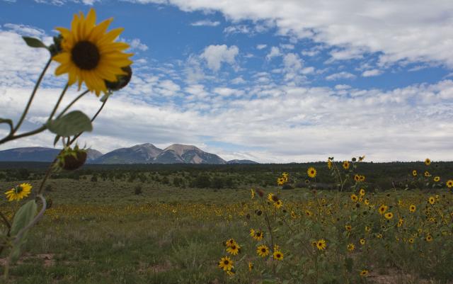
There was a large field of sunflowers I passed through right before the climb to Polar Mesa, so I took a few photos.
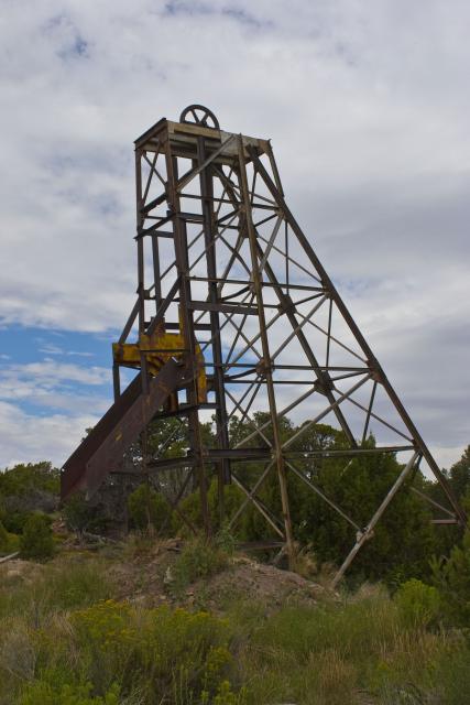
Plenty of old mining relics on Polar Mesa
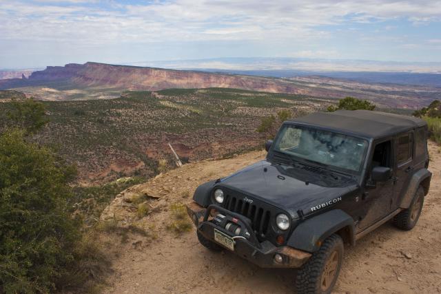
Nice view from the end of the mesa, too
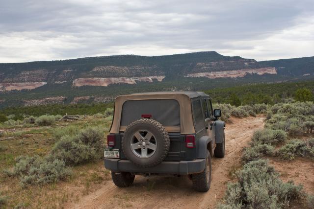
Before heading home I did a little exploring on North Beaver Mesa, but the storm clouds started rolling in, so I started heading home after that.
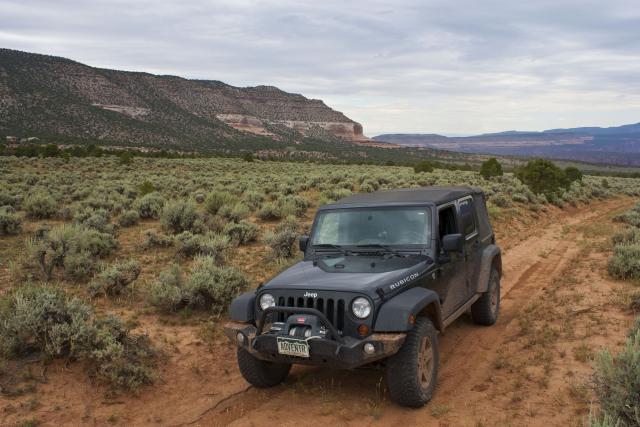
It was a nice weekend exploring some new trails close to home.
