IntrepidXpedition 2007 | Day 6
Tuesday, July 24, 2007
On Tuesday, I had to start making my way to Grand Junction to attend the annual UFWDA Conference, but I didn’t have to arrive until later in the evening, so I had a bit of time to do some exploring before heading out. I woke up super early again to get squeeze as much exploring in during the daylight that I could. My plan was to take Ophir Pass over to Telluride and then to take Imogene Pass back to Ouray before heading north. Unfortunately, because of the storms I mentioned from the previous night, my plans would soon change.
When I got to the turnoff from Highway 550 to Ophir Pass, there was a small road closed sign along the side of the road. I didn’t think anything of it at the time and figured it was accidentally left there from a time the road was actually closed…so I headed up the road anyways.
Ophir Pass in the distance
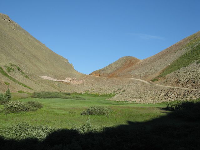
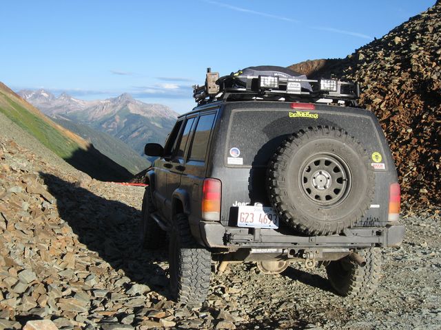
When I made it to the pass, there was another road closed sign across the trail that had been knocked over. I decided that I probably should not proceed past this sign, so I turned around to find another way over to Telluride.
My Jeep at Ophir Pass looking towards Ophir. You can see the road closed sign on the ground in front of my Jeep.
After making it back to Highway 550, I made my way to Red Mountain Pass. I was considering taking Black Bear Pass into Telluride, but when I reached the trailhead, there I found another road closed sign. So far I was 0 for 2…my last chance was to head over to Imogene Pass.
Headed up Camp Bird Road….The Drinking Cup
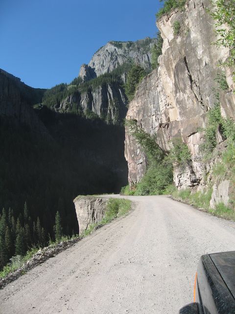
I figured as long as I was in the area, I would head up to Yankee Boy Basin before going over Imogene Pass.
Stony Mountain and Atlas Mill
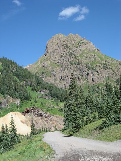
My Jeep and Twin Falls
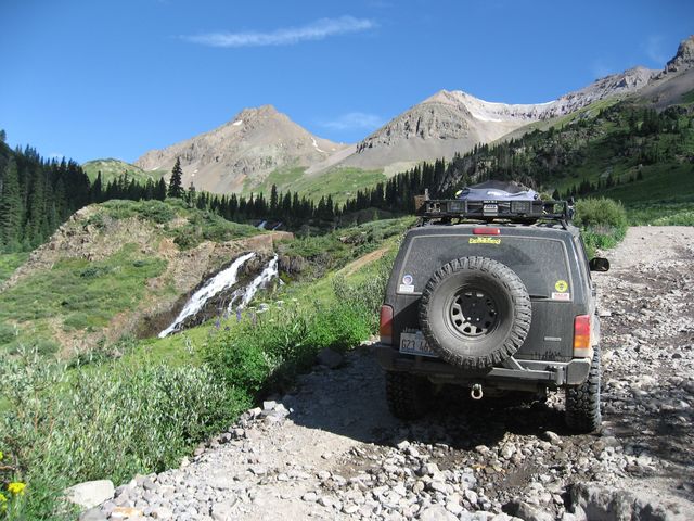
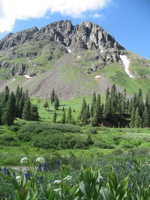
Spectacular views and wildflowers in Yankee Boy Basin
When I made it back to the Imogene Pass trailhead, I came across a ranger putting up yet another road closed sign.
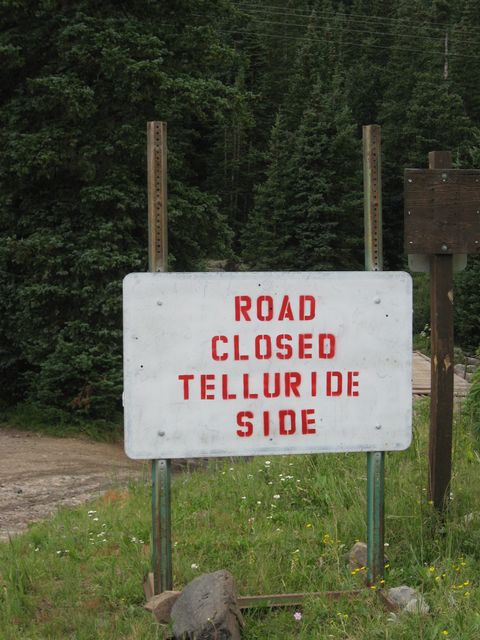
He informed me that they had some serious storms over the night and there were a number of slides that had closed Ophir, Black Bear and Imogene passes. He did say that I would be able to drive up to the pass and back, but not continue to Telluride, so that’s what I did.
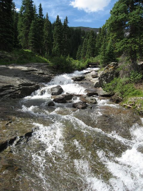
Great views of Imogene Creek along the way.
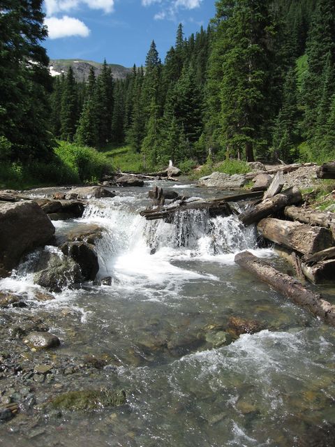
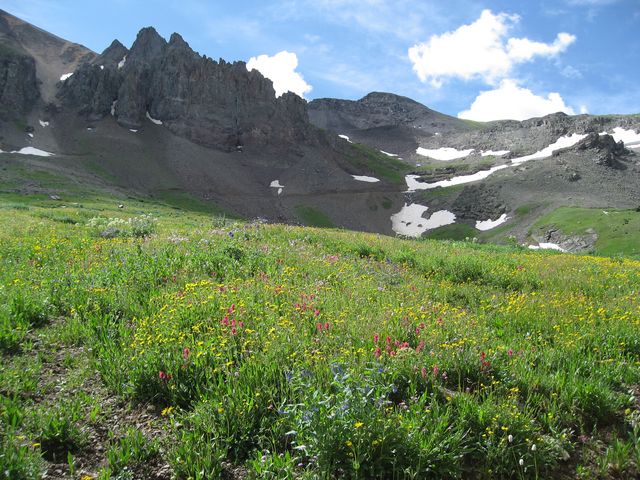
You can’t beat the views of Imogene Basin, either. You can also see the road up to the pass.
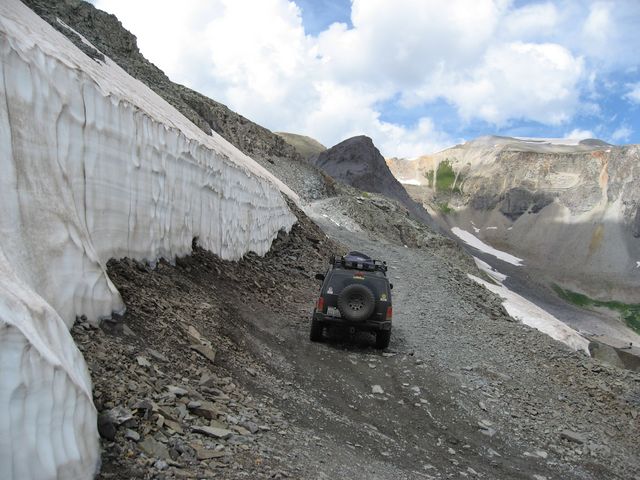
Lots of snow along the shelf road near the pass
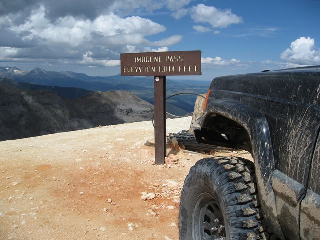
At Imogene Pass, took in the scenery, and turned around.
I stopped back in Ouray for some lunch at Goldbelt Bar & Grill before heading north to Grand Junction…..I wasn’t planning on staying on the pavement the whole way. As soon as I made it to Montrose, it was time for me to turn off the pavement and head up onto the Uncompahgre Plateau. The plateau was crossed by the Hayden Survey expedition in the mid-1870s, and was important hunting grounds for the Ute Indians thousands of years before the Washington Treaty of 1880. The Uncompahgre Plateau also offers a large network of 4WD trails to explore. I plan on heading back and exploring as many of the 4WD roads that I can in the future.
I started out on Rim Road, which takes you up onto the plateau. It’s an easy 2WD road.
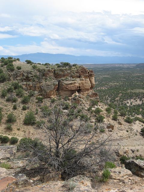
However, the road does end up getting a bit bumpy.
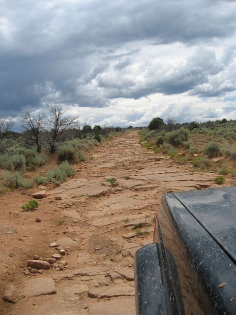
I soon reached Old Highway 90 which would take me to Divide Road. As I climbed higher onto the plateau, I left the red rocks of the desert terrain behind and soon found myself in a lush forest with a number of great camping locations.
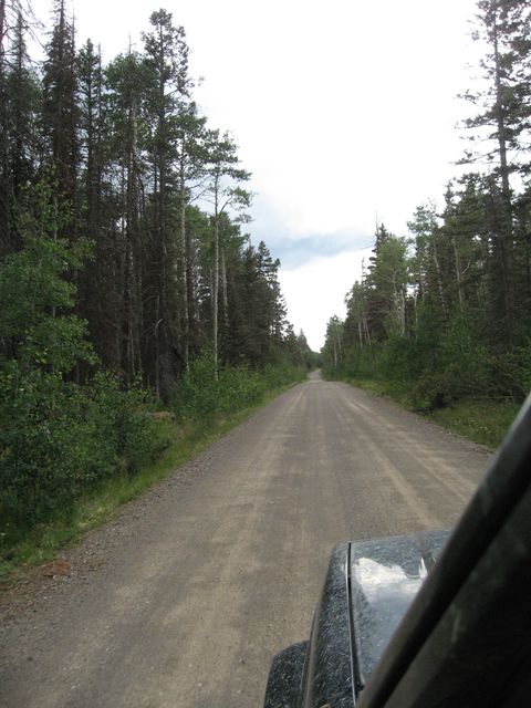
As I reached Columbine Pass with an elevation of 9,120 feet, it started to rain on me, yet again.
The corrals and sign located at Columbine Pass
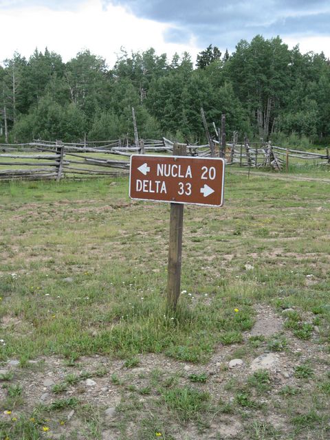
If it weren’t cloudy and raining, there would be some nice views of the La Sal Mountains to the west near Windy Point
Overlook
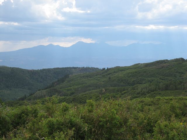
While not like any butte I have ever seen before, I eventually came across the Uncompahgre Butte. It has an elevation of 9,662 feet.
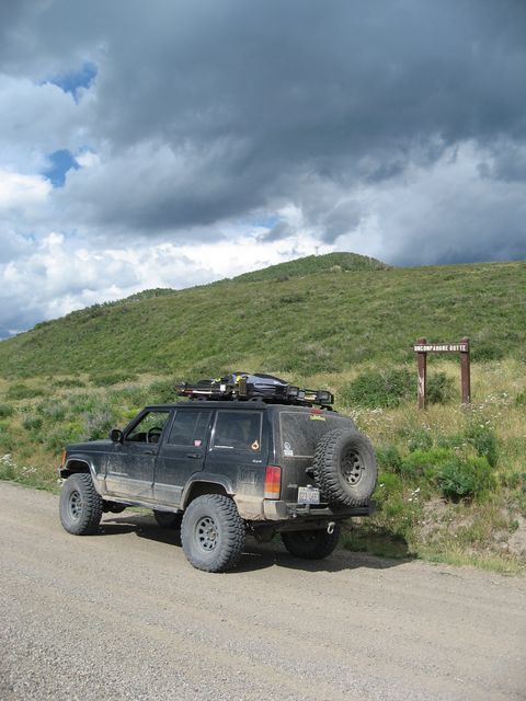
Raining on me again.
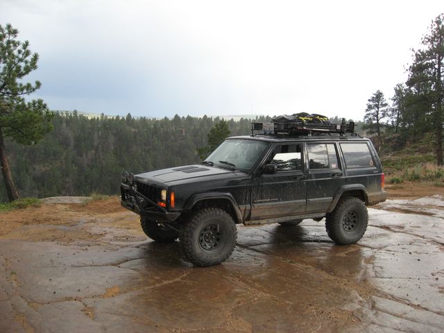
Once I reached the north end of the plateau, I finally headed down Jacks Canyon into Unaweep Canyon.
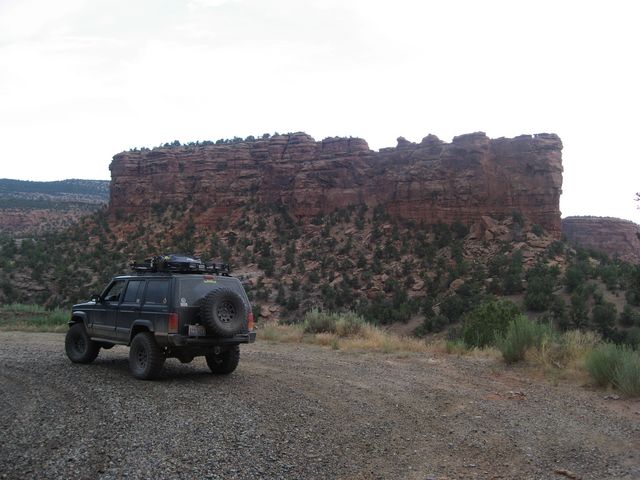
Once in Unaweep Canyon, I took scenic Highway 141 to Whitewater and then headed into Grand Junction.
