IntrepidXpedition 2007 | Day 3
Saturday, July 21, 2007
Even with the lack of sleep the previous night, I got an early start the next day. I started off heading up to the ghost town of St. Elmo, which is very cool to check out and well preserved. My understanding is that it can get rather crowded during the summer, but with my early start, I must have beat the crowds.
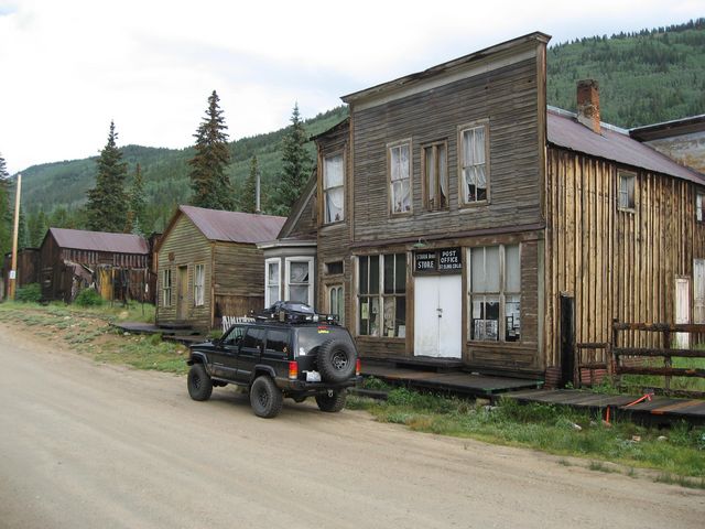
Leaving St, Elmo I headed up the Hancock Pass Road which is an old railroad grade, so it’s a nice easy drive.
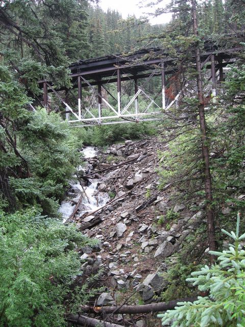
An old railroad bridge that is now bypassed and hidden up in the trees
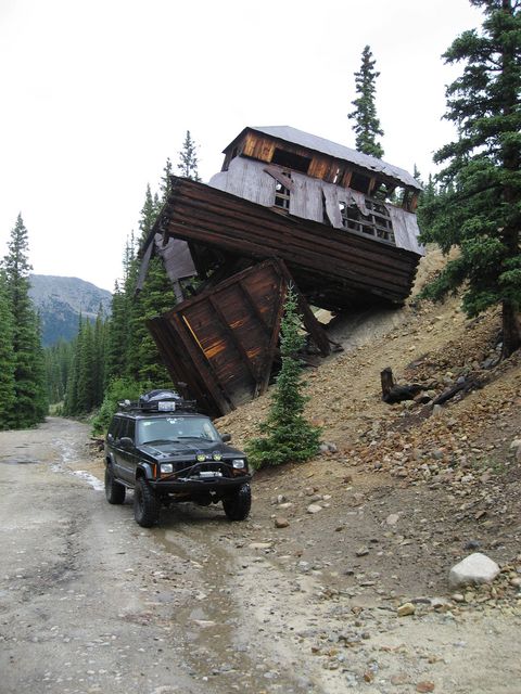
A little further up the trail, you reach the oddly positioned Allie Belle Mine building.
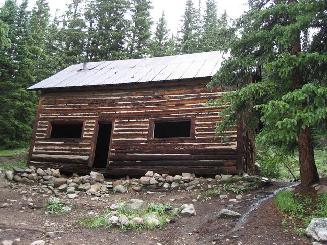
Another old cabin located near the Allie Belle Mine site.
You eventually reach the old Hancock townsite which was established in 1880. By 1881 the town was well recognized and had five stores and a number of saloons, restaurants and other residences. At one point, Hancock had a population of around 200. The town thrived for only a few short years at an elevation of 11,027 feet, and was completely abandoned in 1910 when the railroad stopped operating.
This saloon is the last remaining structure
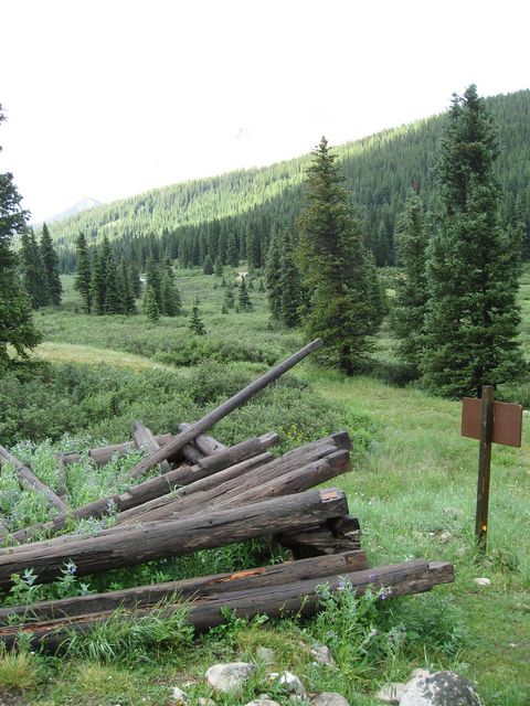
Next you reach an intersection. If you continue straight, you are taken to the Hancock Lakes, and if you turn right, you head over Hancock Pass. I ended up going straight to the end of the Hancock Lakes trail first. Either way, you leave the old railroad grade and the trail gets a little bumpier and narrower.
The trail headed towards Hancock Lakes
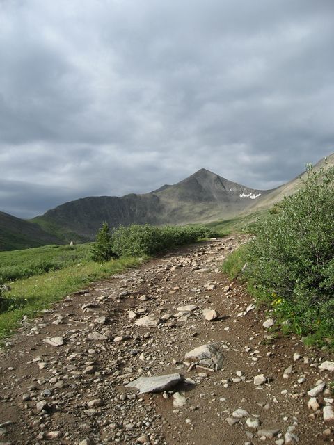
End of the trail. From this point you have to hike to the lakes. It was early in the day and I still had a lot of trail ahead of me, so I did not hike it this time. But rest assured, I will return to check it out another time.
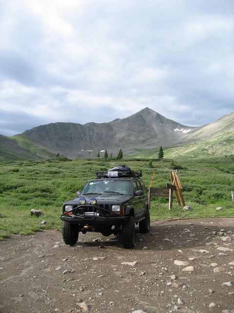
I backtracked and turned off to head over Hancock Pass. The trail up
the pass was a little bumpier and steeper, but nothing difficult.
Stopped at the pass at an elevation of 12,140 feet.
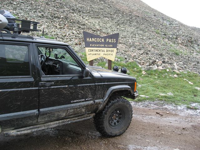
The trail headed down the other side of the pass into Brittle Silver Basin
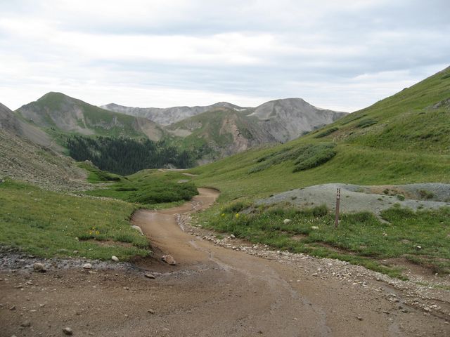
On my way down, I was able to get a good view of the narrow shelf road of Tomichi Pass, which I was not able to run this trip.
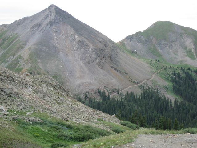
After heading downhill for a little bit and arriving at the Sherrod town site, I took the short side trip to the Alpine Tunnel. the Alpine Tunnel was a 1,772 foot narrow gauge railroad tunnel. Construction began in January of 1880 and was scheduled to last 6 months, but the railway was completed in July of 1882. At an altitude of 11,523 feet it became the first tunnel constructed through the Continental Divide, and was abandoned in 1910 due to damage in the tunnel. The east portal of the tunnel has collapsed and the west portal has been covered by landslides.
This trail follows the old railroad grade that headed to the tunnel and the views from this trail are great.
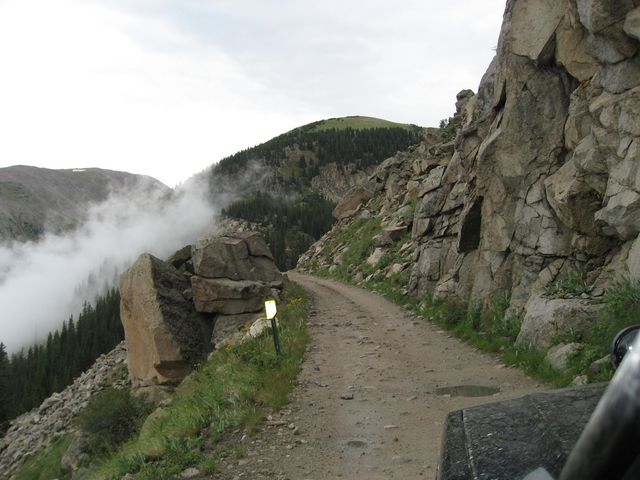
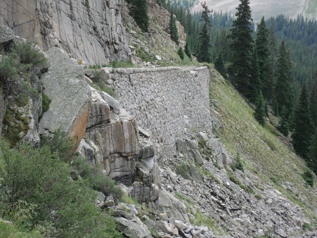
There are also sections of the trail called the Palisades which was built out of hand cut stones that were fitted and stacked without any mortar. This section is 33 feet high and 425 feet long. It’s amazing that they still stand to this day.
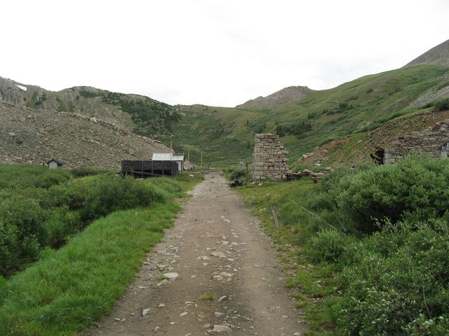
Finally you reach the end of the Jeep trail, and must hike to the actual tunnel.
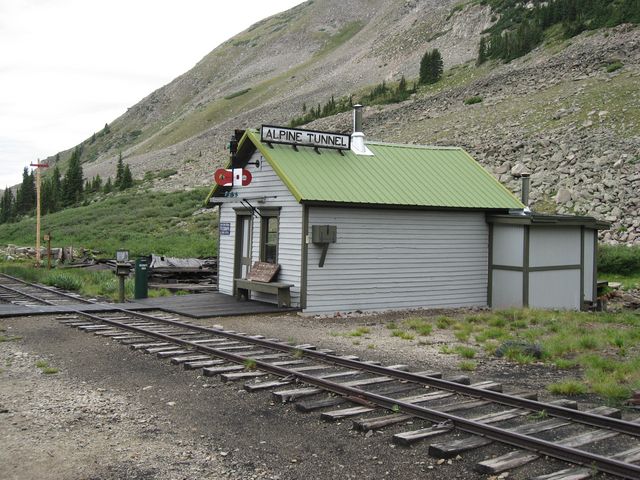
The Alpine Station was constructed in 1881 to support the Alpine Tunnel railway operations.
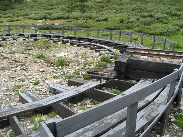
A wooden turntable used to turn around the engines
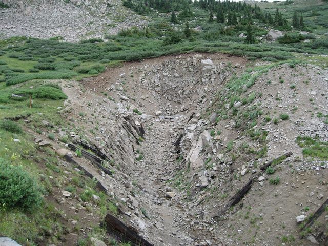
Where the tunnel used to go….now has been closed off by slides.
After heading back from the tunnel, I turned onto Cumberland Pass and made my way towards the little town of Tincup.
Came across the Tunnel Gulch water tank which was restored by the Mile High Jeep Club
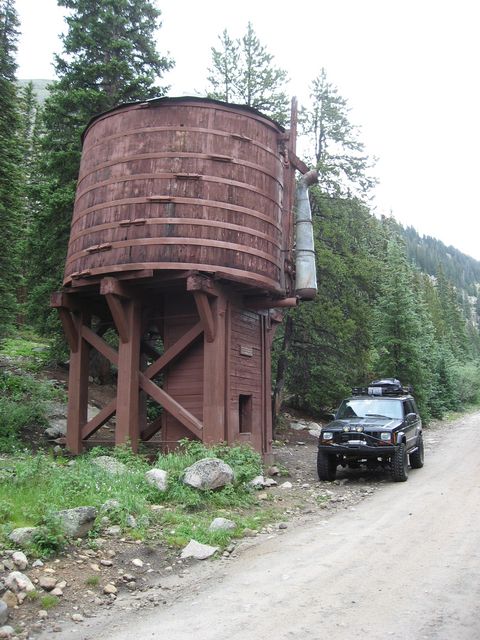
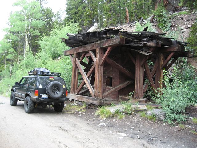
…and then the Midway water tank stand.
Cumberland Pass is an easy gravel road the whole way with some nice views.
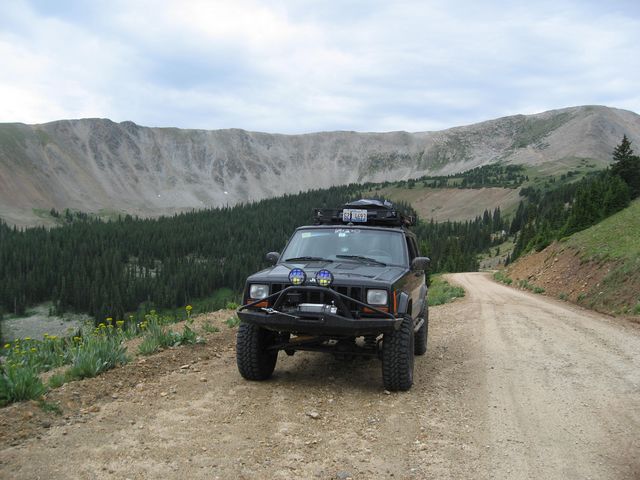
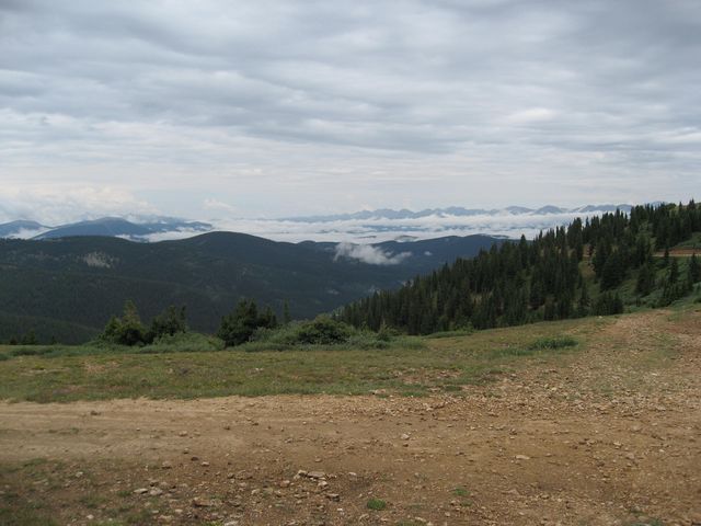
Was cloudy all morning, as you can see from this view from Cumberland Pass at an elevation of 12,015 feet.
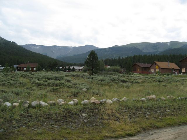
Soon I arrived at Tin Cup. Tin Cup got its name from one of the prospectors that carried out his gold dust in a tin cup. Around the turn of the century there was said to be about 2000 people here and shortly after that the population dwindled.
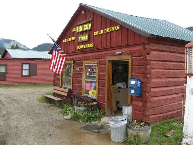
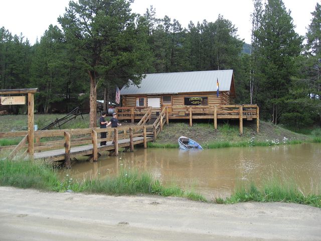
…and I ended up stopping for some lunch at Frenchy’s Cafe.
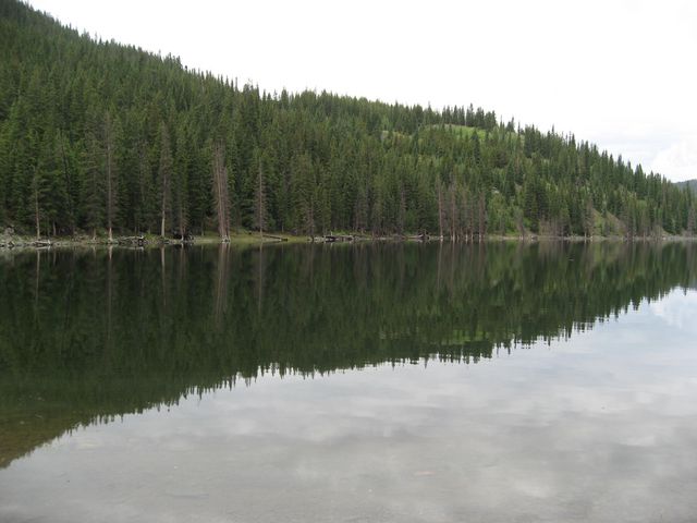
After lunch, it was time to head up and over Tincup Pass back into St. Elmo. A few miles out of town I passed Mirror Lake.
My Jeep at Tincup Pass
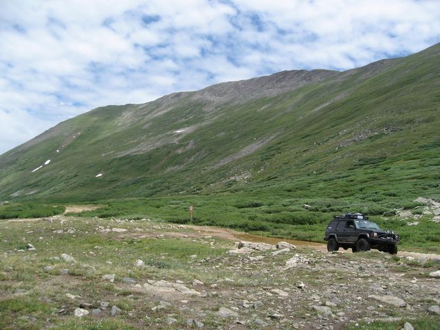
The clouds starting to clear up just a little from Tincup Pass
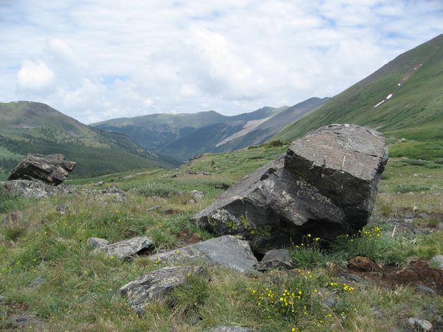
View along Tincup Pass
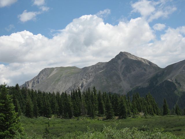
Finally I reached St. Elmo again, the same place I had started at earlier that morning. It was still early in the afternoon, so I had plenty of time to do some more exploring. I headed back up Hancock Pass Road, but this time made the turnoff to head up to Pomeroy Lakes. Besides the lakes at the end of the trail, there are some old structures still standing along the way, too.
Passed this cabin along the other side of the Pomeroy Creek.
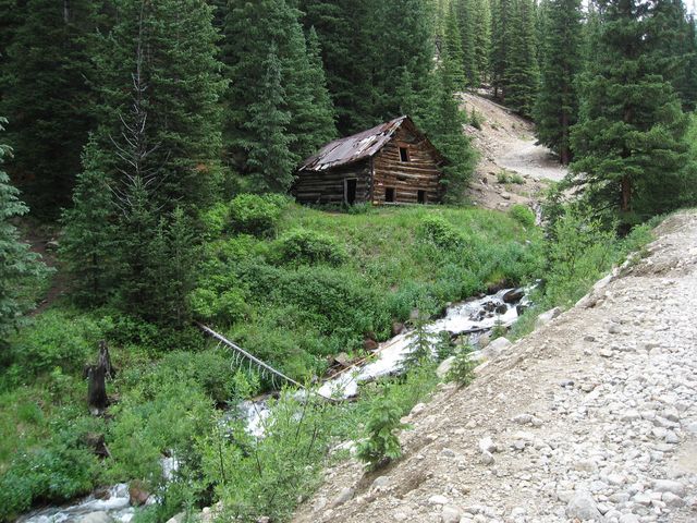
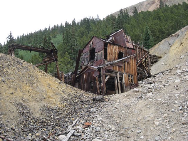
What’s left of the Mary Murphy Mill
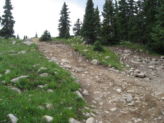
Headed up to the lakes
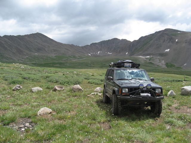
Parked at the end of the trail, you have to hike from here.
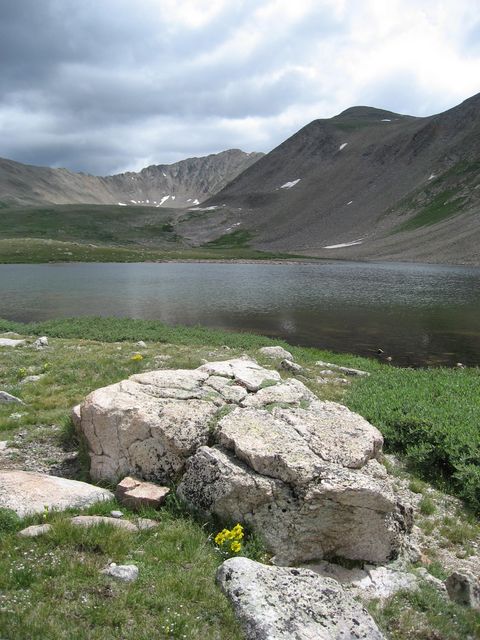
Great view of Lower Pomeroy Lake. I did not hike to the upper lake this time.
After making it back down to Hancock Pass Road, I was up for a challenge, and Iron Chest was not very far away. So I headed over to Iron Chest and ran the lower (more difficult) section of the trail.
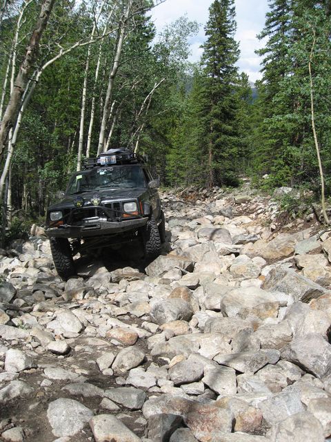
Posing on a rock 😉
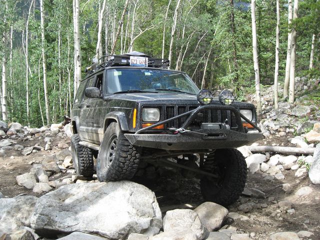
When I was done playing on Iron Chest, I went and checked out the beginning of Grizzly Lake, but it was finally starting to get late, so I decided to save that trail for another time.
