Across the Great Basin and Back | The Loneliest Road (Trip) in America
Wednesday & Thursday, September 2-3, 2020
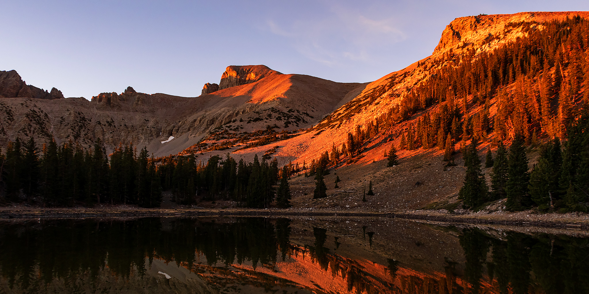
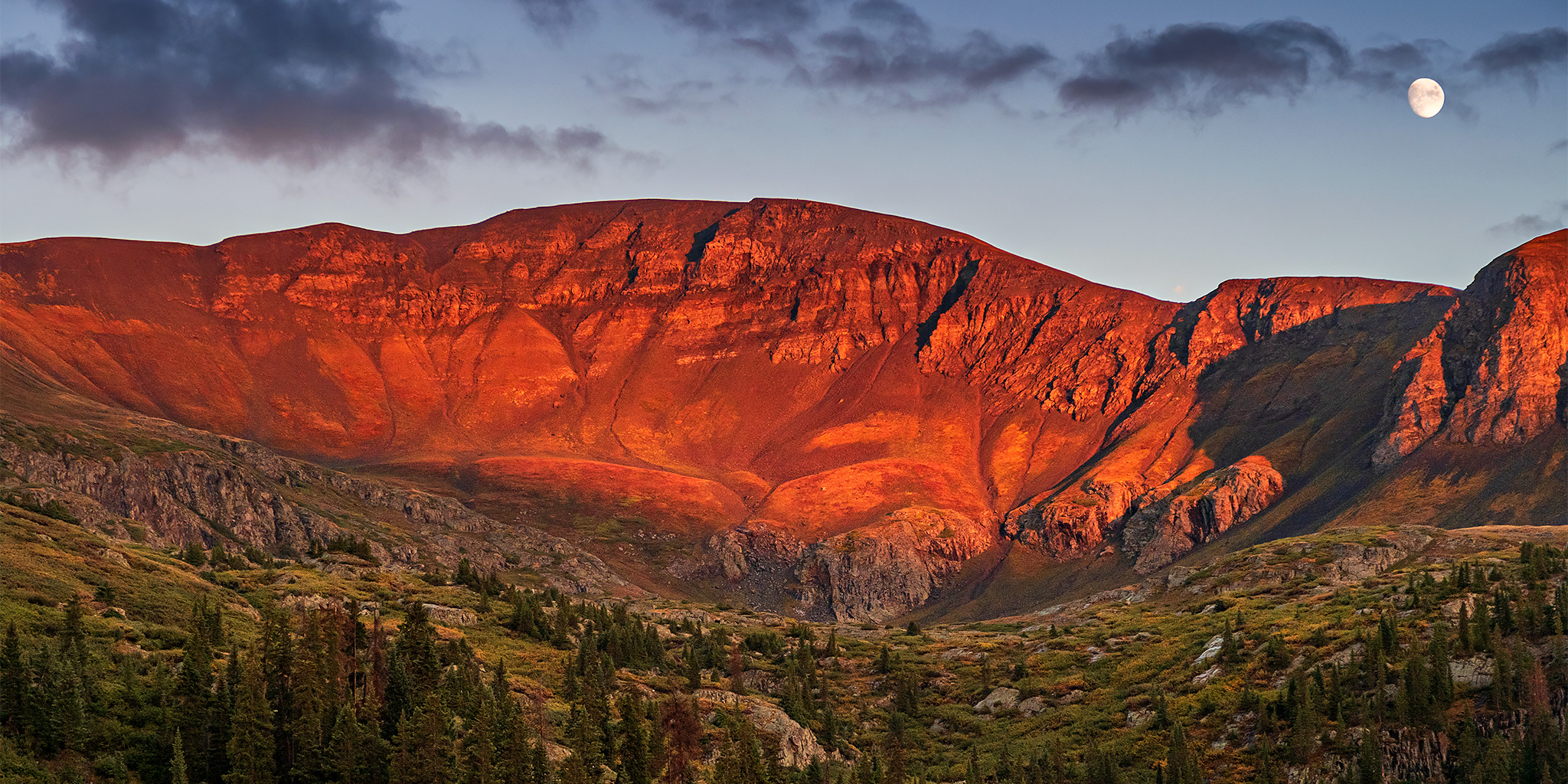
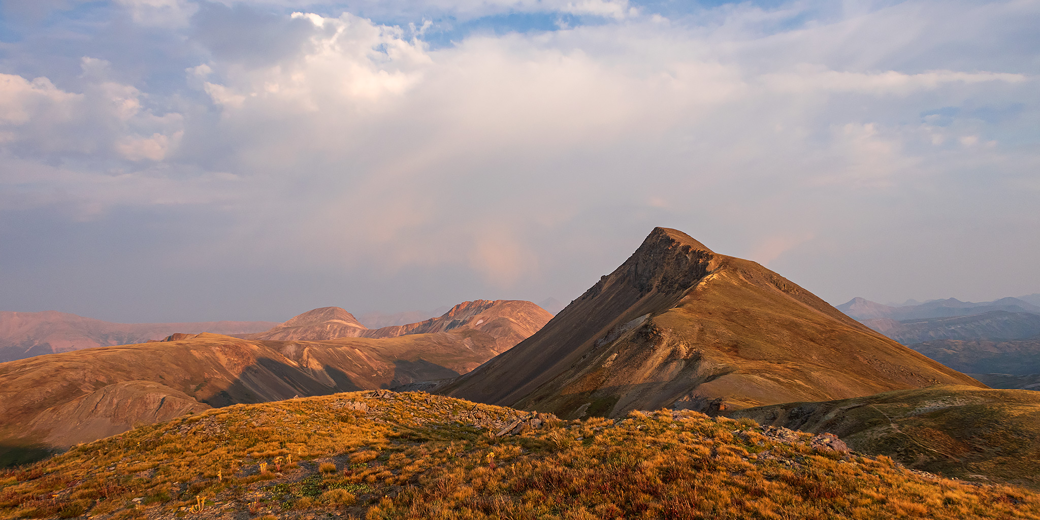
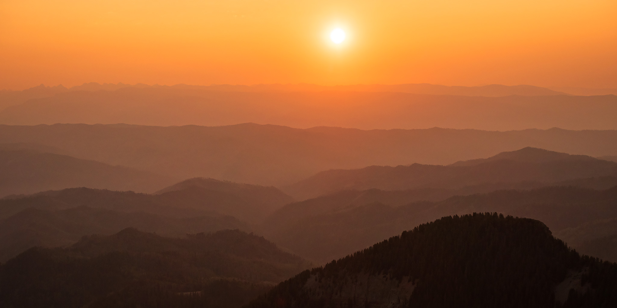
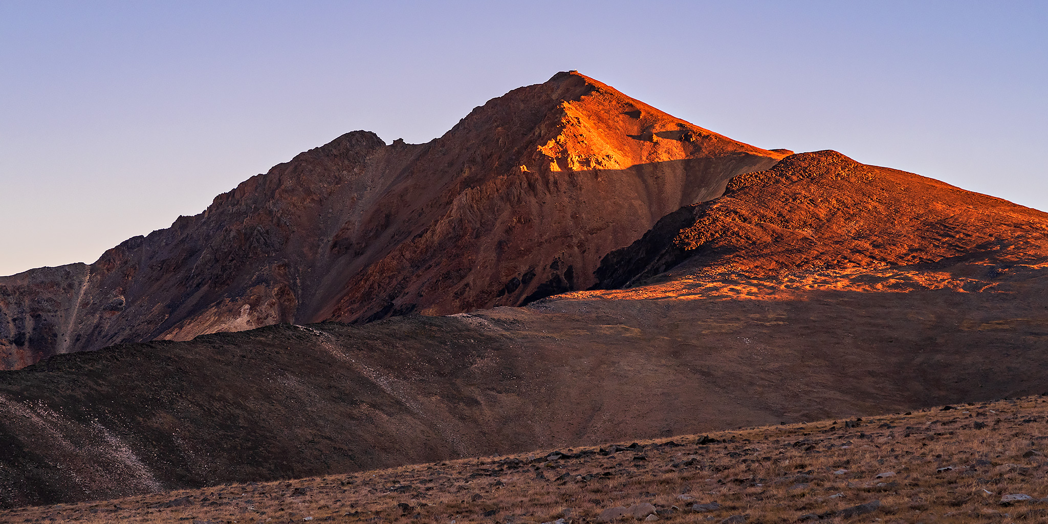
After hiking to the summit of Wheeler Peak in Great Basin National Park on Wednesday morning, I continued my ‘Loneliest Road Trip in America‘ across the Great Basin as I drove to the west end of Nevada. My next destination would be in the White Mountains located along the eastern edge of California so that I could hike to the summit of White Mountain Peak on Thursday morning, which is the third highest mountain in California at 14,252 feet. Since it doesn’t look like I am going to be climbing any 14ers in Colorado this summer, which will be the first time in over ten years for me, I figured that I could at least hike one new 14er in California this year instead! I haven’t hiked in the mountains of California since I did Mount Whitney in 2014, so I was looking forward to returning!
5 Comments