Saturday & Sunday, October 29-30, 2016
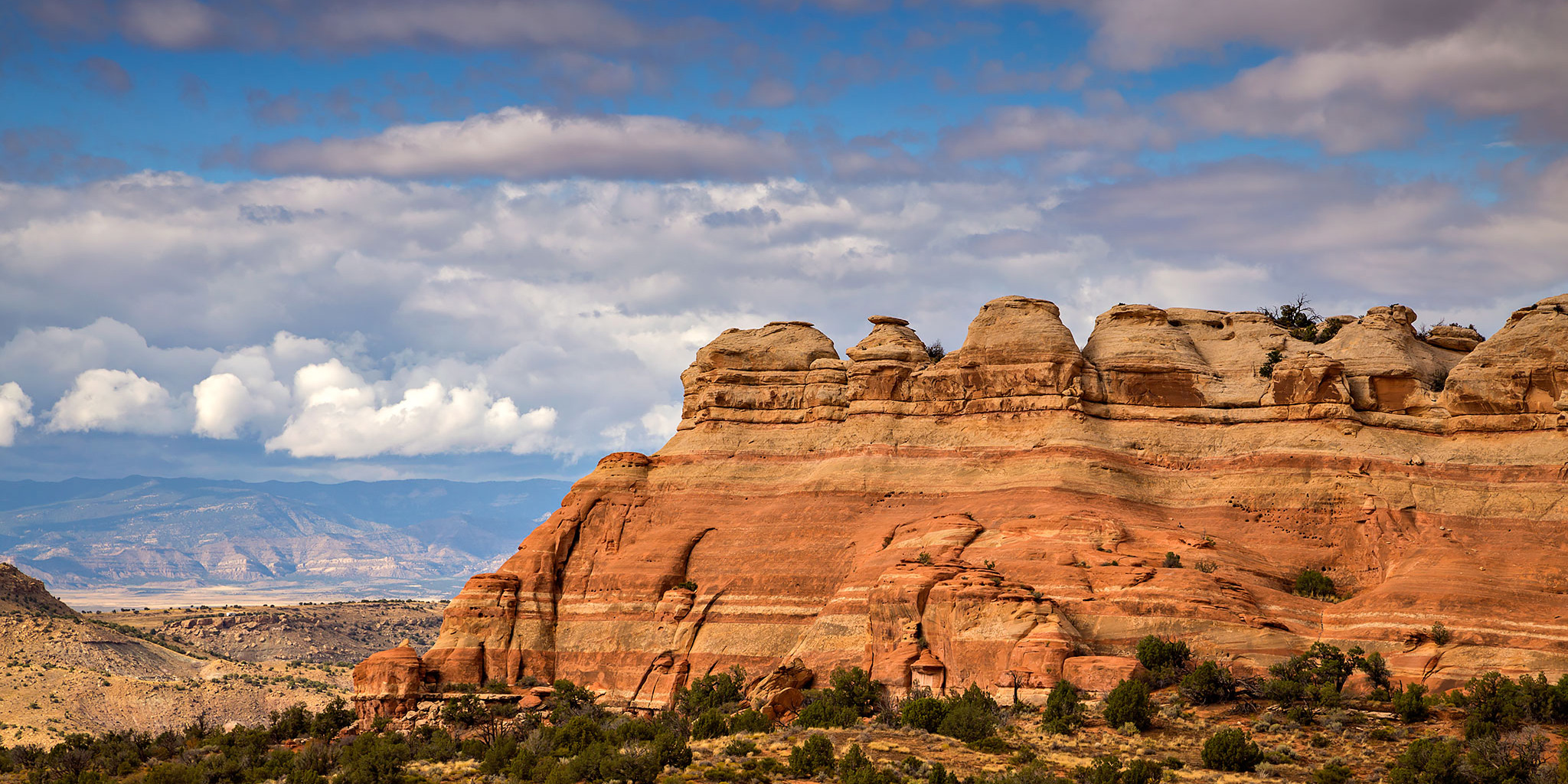
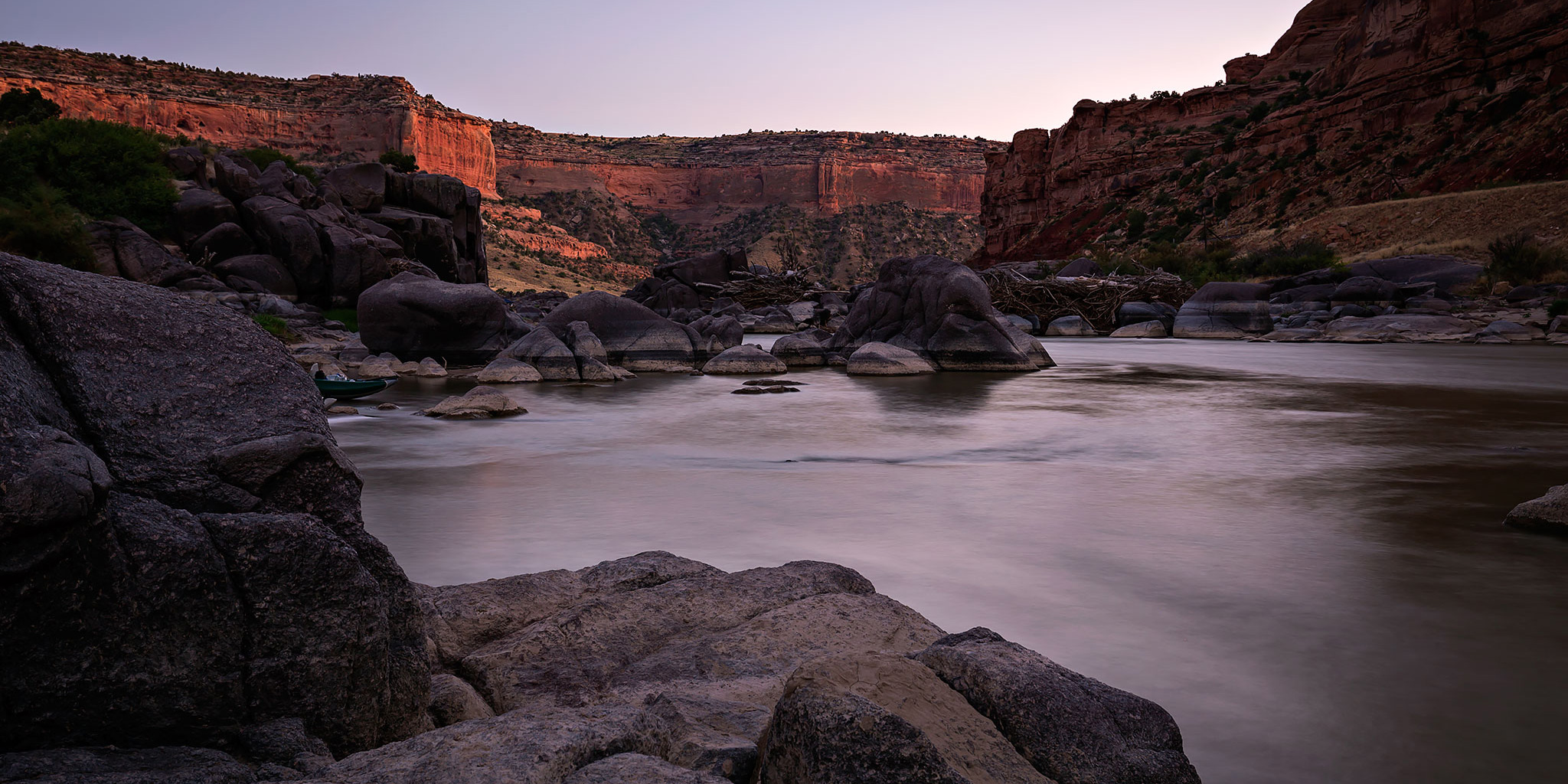
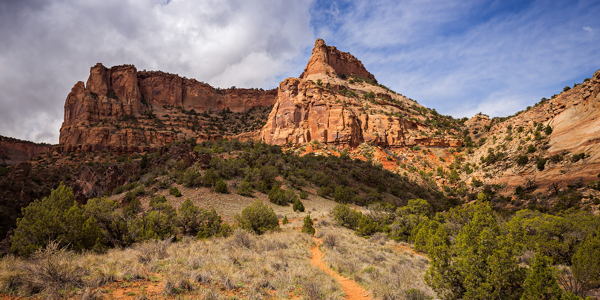
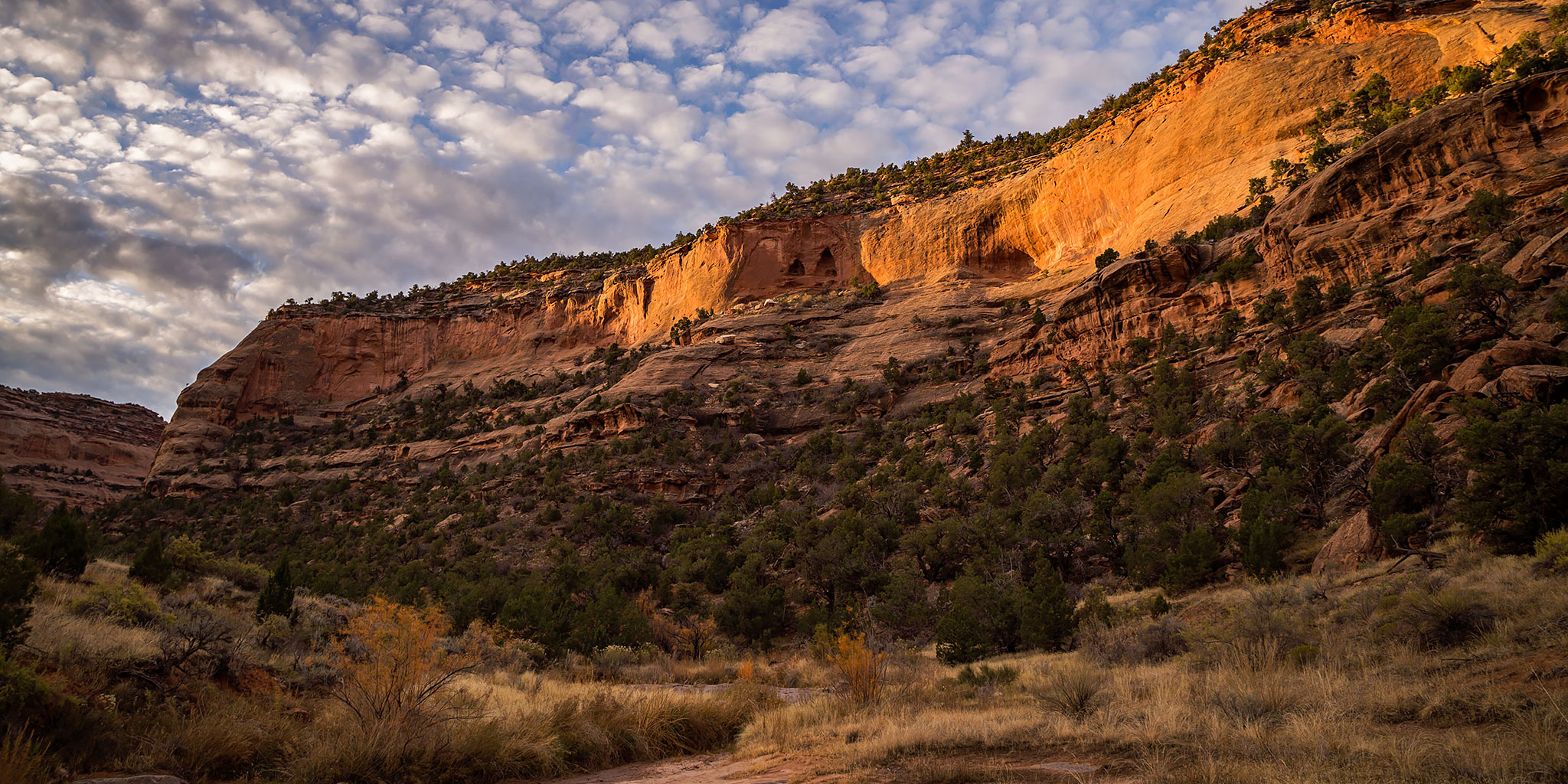
After taking last weekend off to stay home and relax a little, this weekend Diane and I headed deep into the Black Ridge Canyons Wilderness on an overnight backpacking trip into Knowles Canyon. We were in search of a few rock art sites thought to be hidden in the canyon, but unfortunately we would come up empty handed locating any of those on this trip. Instead, we would find a beautiful canyon with plenty of solitude only 20 miles from home. It’s nice to know that this kind of solitude can easily be found such a short distance from our home. Here are a few photos from the weekend.
2 Comments