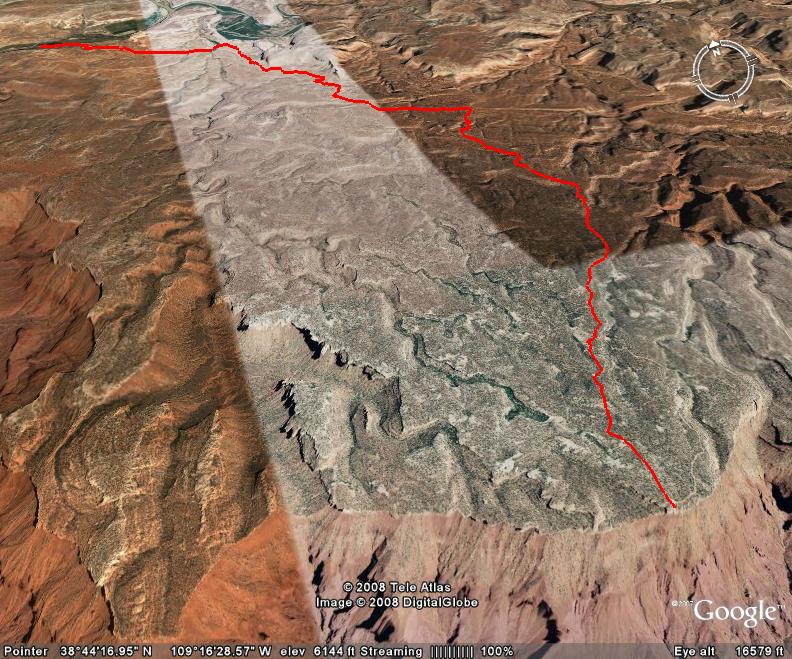
Top of the World is a very bumpy ride that offers a great view at about 7,000 feet elevation from the Waring Mesa of Fisher Valley, Onion Creek, and the La Sal Mountains. I ran this trail back in 2003, and don’t recall it being as bumpy as it is now. It certainly is not a difficult trail, but does require some higher ground clearance and some rocker protection.
The beginning five miles of this trail is a pretty smooth graded road, but the second half of the trail is a little rough. At the viewpoint, there is a rock overhang that is great for taking photos of anyone brave enough to stand on it.
Don’t forget to check out the Dewey Bridge off of highway 128 when you turn off to head up to the trail. This area is part of Kokopelli’s Bike Trail, so watch out for mountain bikers.
Please feel free to leave your comments and post your pictures from Top of the World below.
![]() Top of the World KML Track
Top of the World KML Track
(Right click and ‘Save Target As’)
Open file above in Google Earth.
