Saturday & Sunday, June 9-10, 2018
This weekend Diane and I decided to go on a very early season backpacking trip into the high country near Silverton. During a normal year we wouldn’t even consider going on a backpacking trip into the mountains until later in June or early in July, but with the low snowpack this year we decided to give it a try much earlier to see how the conditions really were. Also, since it’s still early in the season, the monsoons haven’t started yet and we would be able to camp well above tree line without worrying about storms or lightning. Plus, with Highway 550 closed between Durango and Silverton because of the 416 Fire, we figured the mountains near Silverton wouldn’t be very busy right now and we hoped to find plenty of solitude.
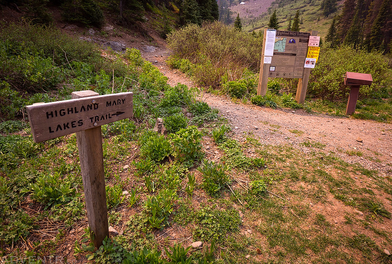
For the past ten years or so, I have put the Highland Mary Lakes Trail on my to-do list for the summer and every year I seem to skip it for something else. Not this year! Instead of doing it as a day hike like most people, we decided to make it into an easy overnight backpacking trip so we could spend a night near the Verde Lakes in the Weminuche Wilderness. As we drove through Ouray and Silverton we could tell that the closure of Highway 550 was affecting the towns since they were relatively quiet. I’m sure this is not great for the businesses in town, but we sure enjoyed not having to deal with traffic or crowds as we passed through. We arrived at the trailhead in Cunningham Gulch later in the morning and it was practically empty! I was expecting to find a lot of day hikers taking advantage of the low snow year on this popular trail, but I guess all the smoke from the wildfire kept them away. We weren’t complaining!
Starting our hike from the Highland Mary Trailhead in Cunningham Gulch.
We knew going into this hike that there was a good chance of smoke coming over from the 416 Fire near Durango. I actually was hoping that the smoke in the air would make for a good sunset later in the evening. However, the smoke was much worse than either of us imagined it would be. There were strong winds today that were blowing the smoke right towards us. We could smell the fire for the entire trip (and all of our gear still smells like a campfire) and views were limited and hazy for much of the day. The most surprising part was all the ash that continued to rain down on us from the sky. Some of the larger pieces that fell to the ground were even still warm to the touch.
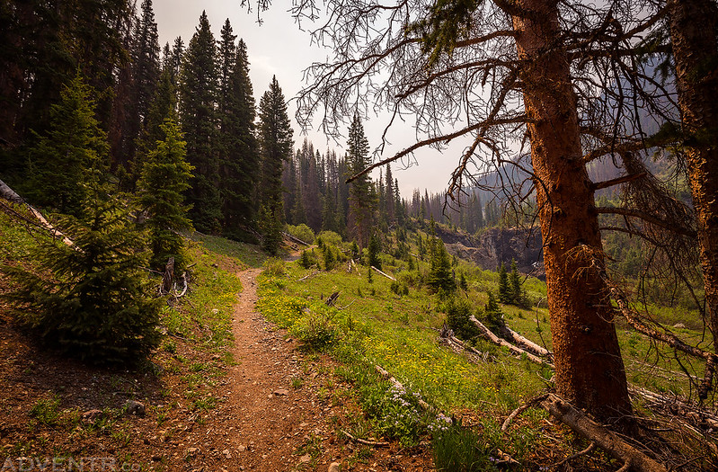
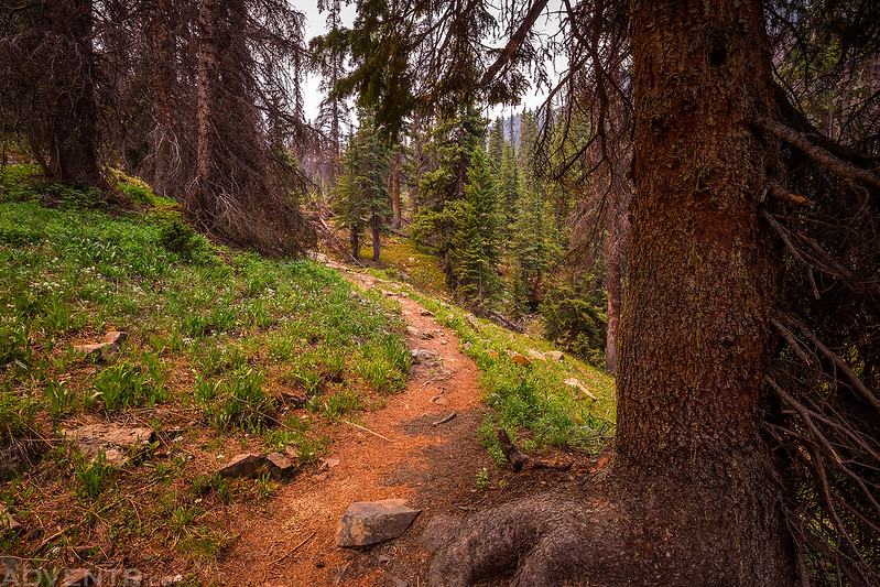
The trail up was easy to follow, although the sunlight filtering through the smoke in the air made everything around us look eerie and strange with a reddish tint.
Diane hiking up the trail behind me.
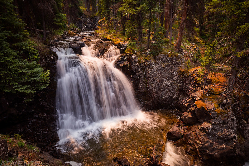
A very nice waterfall we passed that was right along the trail.
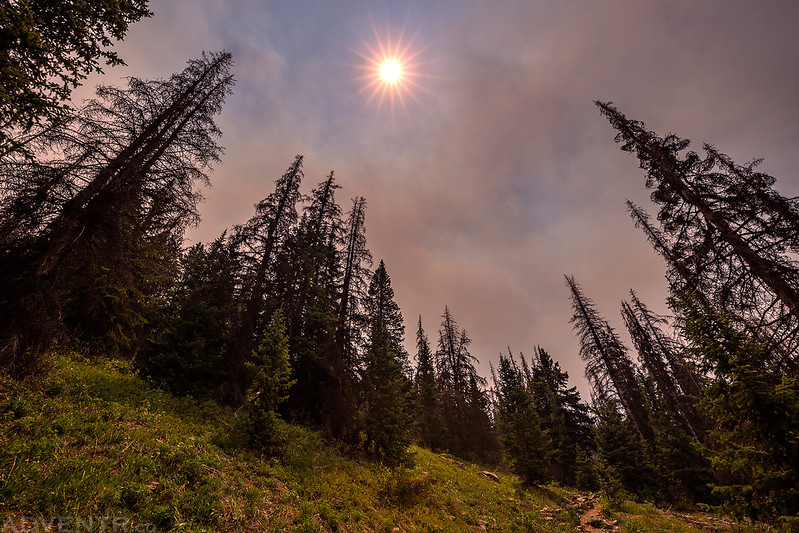
All the smoke in the air made for some interesting light all day.
Unfortunately, even with a Stage II Fire Ban in place, we passed a person along the trail who was starting a fire in their little wood burning stove near plenty of dry grass and deadfall. This made us uneasy because it could affect us if another wildfire were started, so I walked over to remind him of the current fire ban. He was either playing dumb or really thought that his little wood burning stove was OK during the ban, so I politely informed him that it was not and about how dry and dangerous it was out, especially with the wind blowing. He gave me a sob story about how he was starving and needed to eat and would put it out as soon as his lunch was ready. We carried on up the trail hoping that our return route would not get cut off by another fire.
Continuing on the trail through the trees.
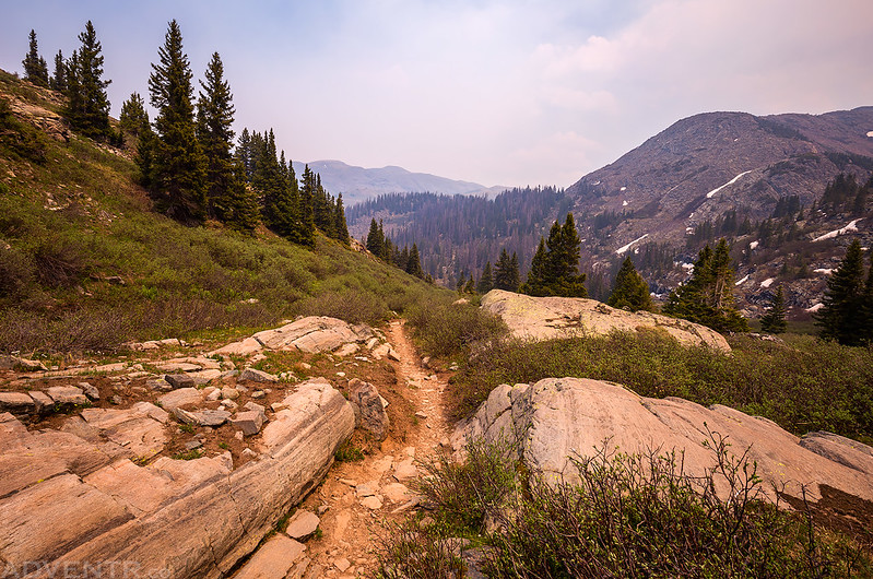
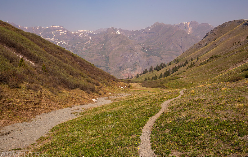
Getting up above treeline and looking back down Cunningham Gulch.
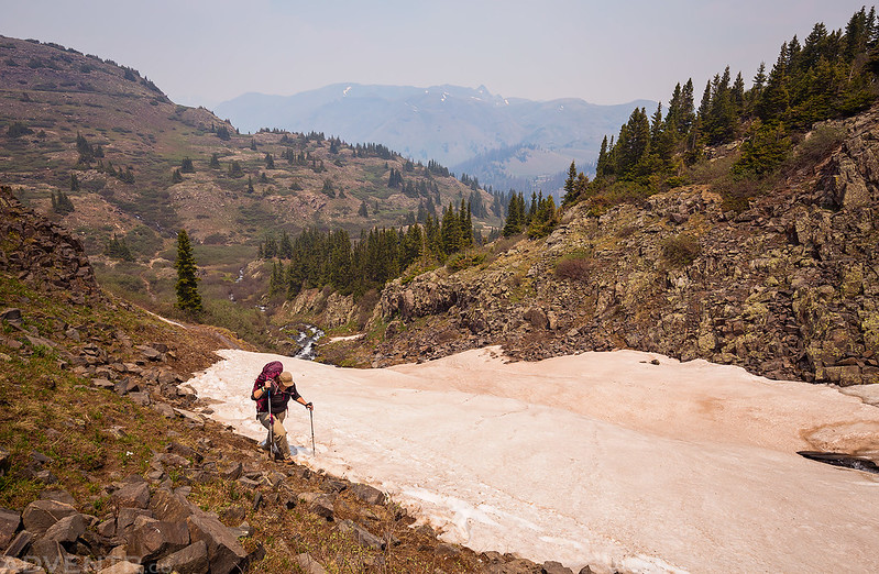
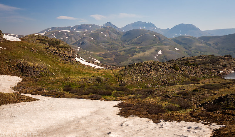
This was the only snow we would have to get around before reaching the Highland Mary Lakes. I would say that the current snow conditions are similar to mid-July during a typical snow year, so things are melting out about a month early this year.
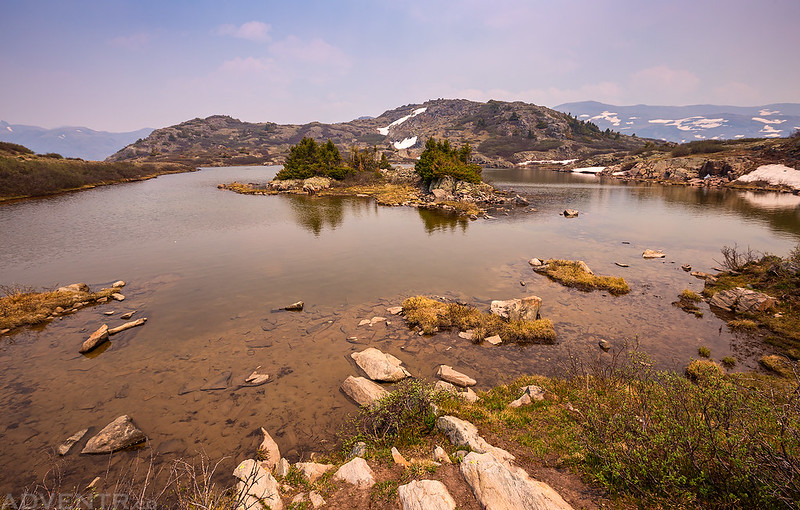
The first lake has a nice little island in it.
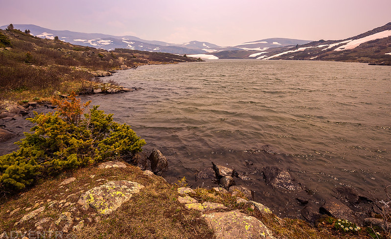
The water was choppy on this lake from the high winds and the sky was smoky.
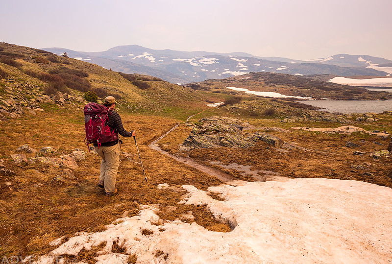
Following the trail towards the upper basin.
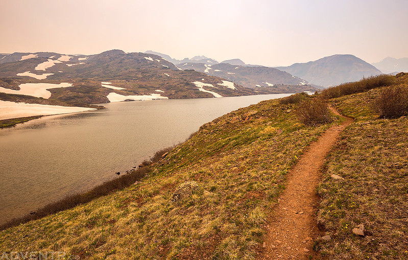
Looking back over one of the larger lakes.
As we reached the upper basin the smoke got really thick again.
Diane on the final climb out of the basin.
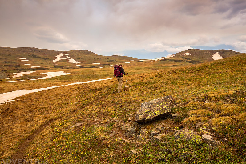
Crossing the alpine tundra on our way to the Verde Lakes.
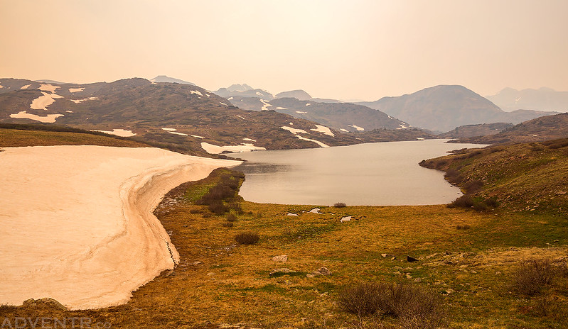
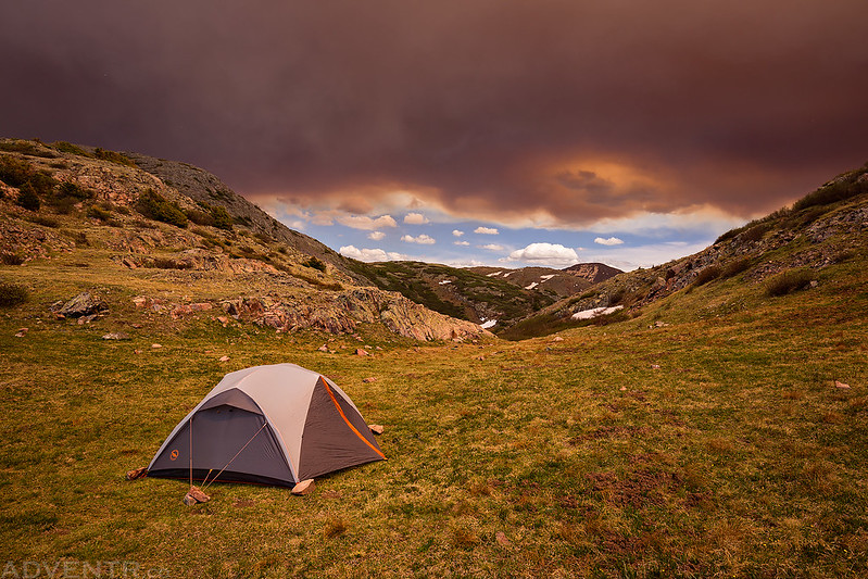
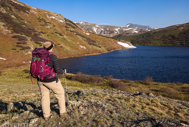
After hiking past the Highland Mary Lakes and climbing out of the basin, we crossed over the ridge to the Verde Lakes and setup camp on the southern end of the largest lake at around 12,200 feet. It was still quite windy out and the site was unprotected, but the wind was supposed to die down after sunset, so we hoped for the best!
There was a thick cloud of smoke over our campsite all evening. It was kind of eerie.
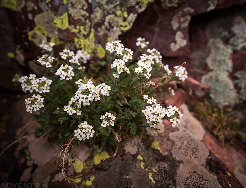
Tiny wildflowers growing out of the rock near our camp.
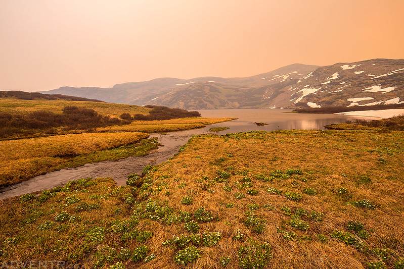
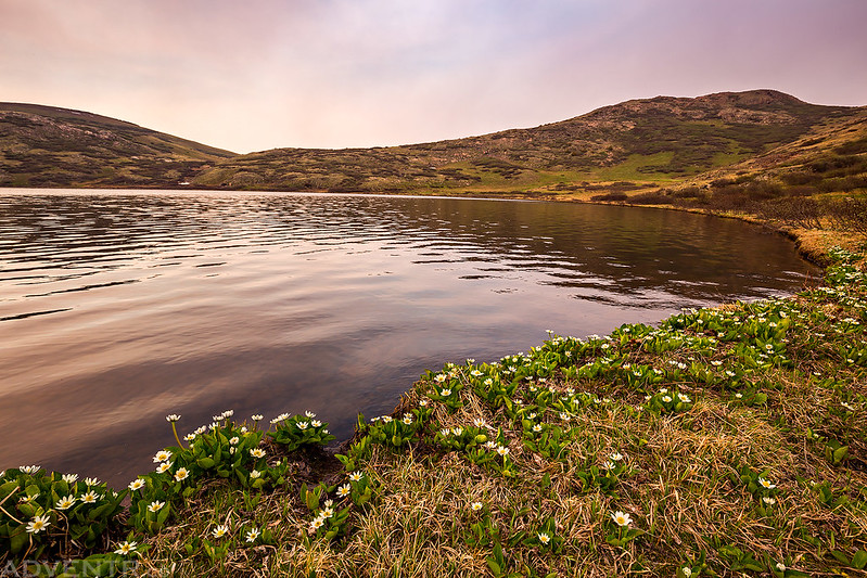
Wildflowers along the shore of Verde Lake.
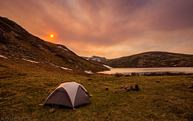
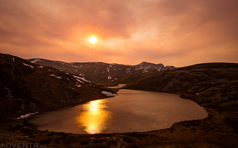
The smoke was so thick at times that you could look right at the sun and see a very red or pink colored orb in the sky.
While we were making dinner at camp, another unusual thing happened. We looked up and saw a plane flying very low and under the smoke to the south. At first I thought it was probably part of the fire-fighting operations, but as it got closer we could see it was a very large commercial jet. I have never seen a commercial jet fly this low to the mountains before!
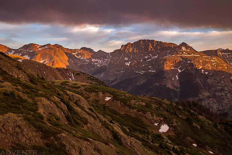
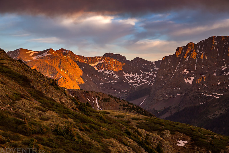
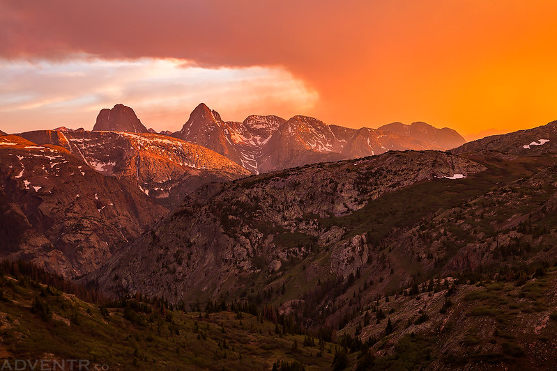
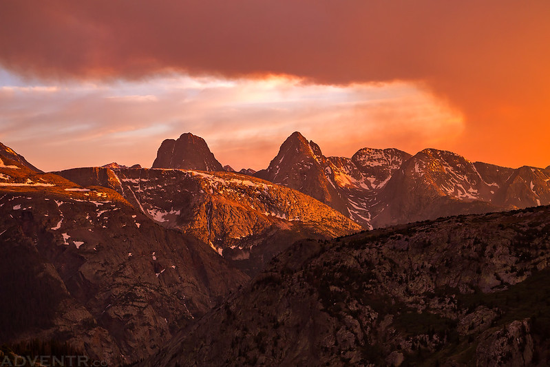
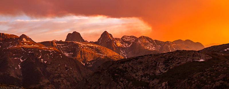
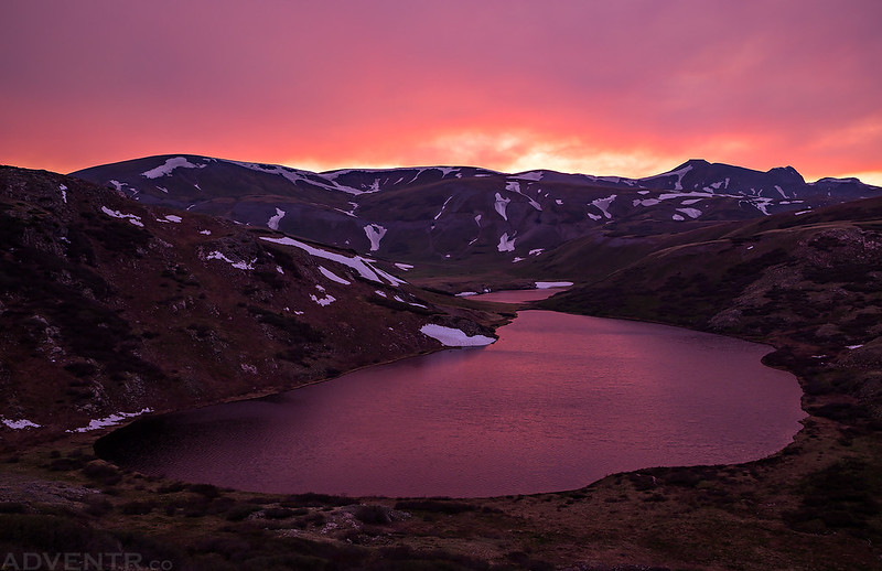
After dinner I climbed up to an overlook above camp and waited for the sun to set. It turned out to be an amazing and colorful sunset thanks to all the smoke in the air. Probably one of the best I have seen this year so far. Hiking all day in the smoke and ash was well worth the effort! I’ll let the photos tell the rest of the story!
A sunburst over the Verde Lakes as I climbed up to the ridge for sunset.
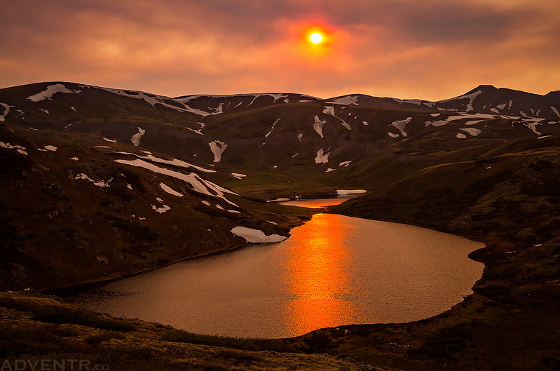
I like the stripe of light reflected down the lakes in this shot.
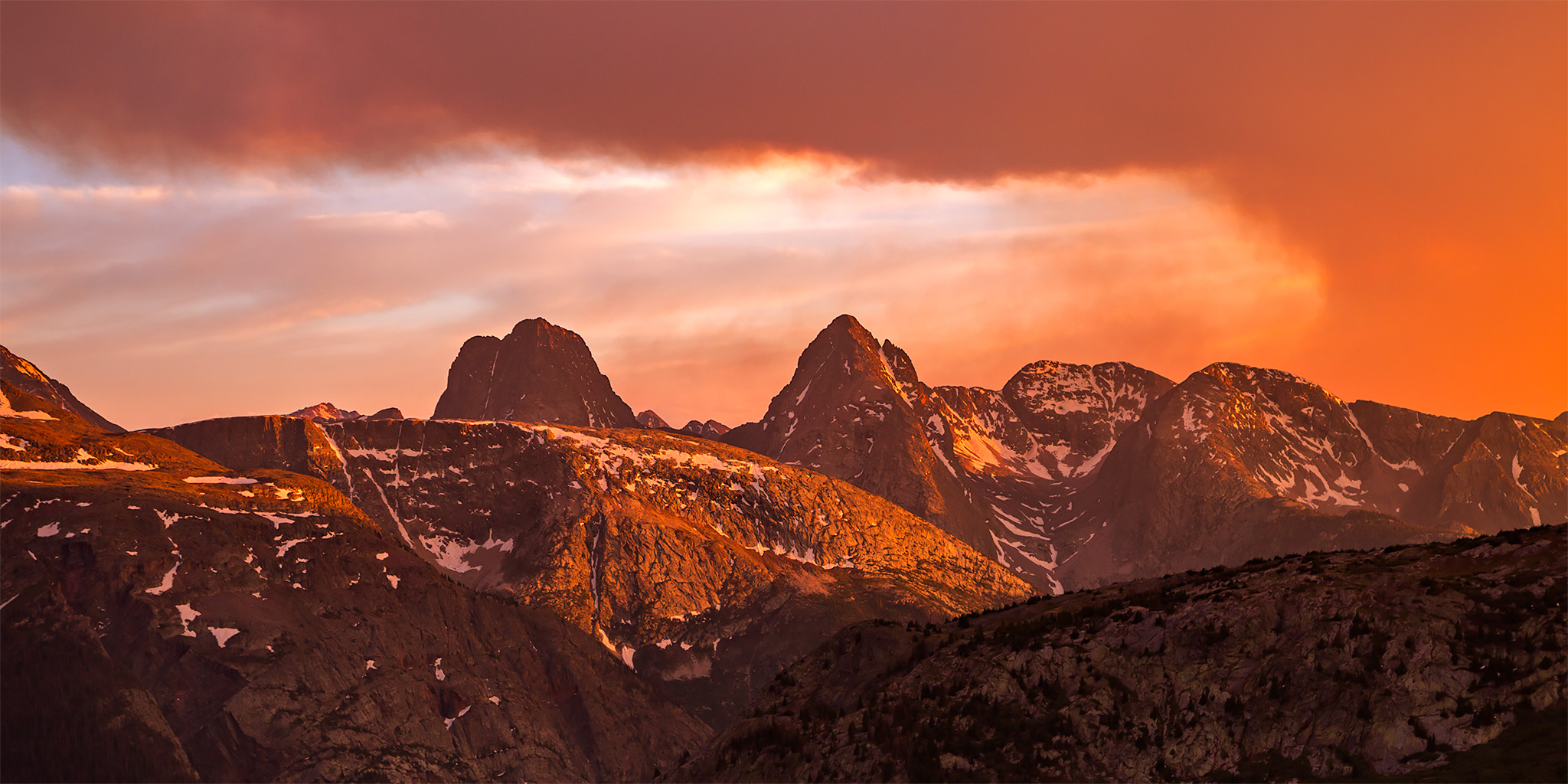
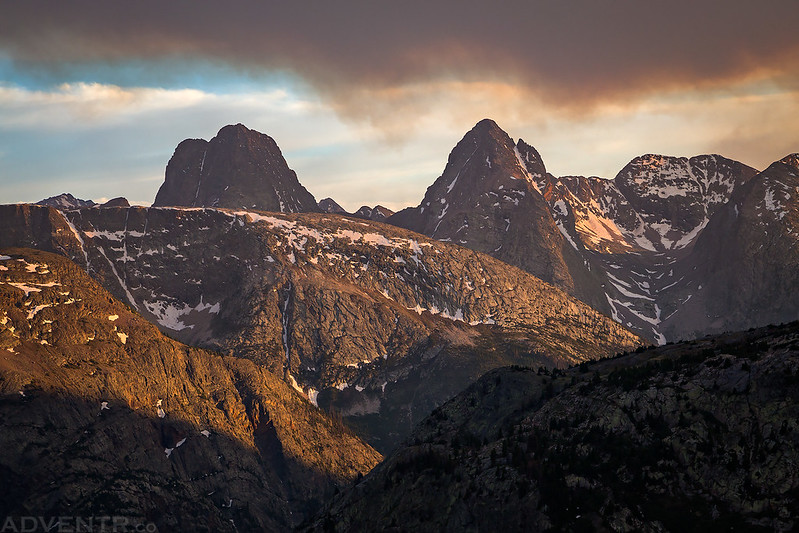
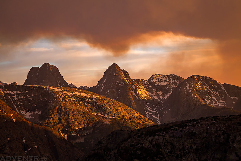
The light show started once the sun dropped low enough in the sky to shine underneath the smoke, and I had a pretty nice view of Vestal Peak (13,864) and Arrow Peak (13,803) above camp.
As the sun dipped lower and filtered through the smoke, the colors intensified!
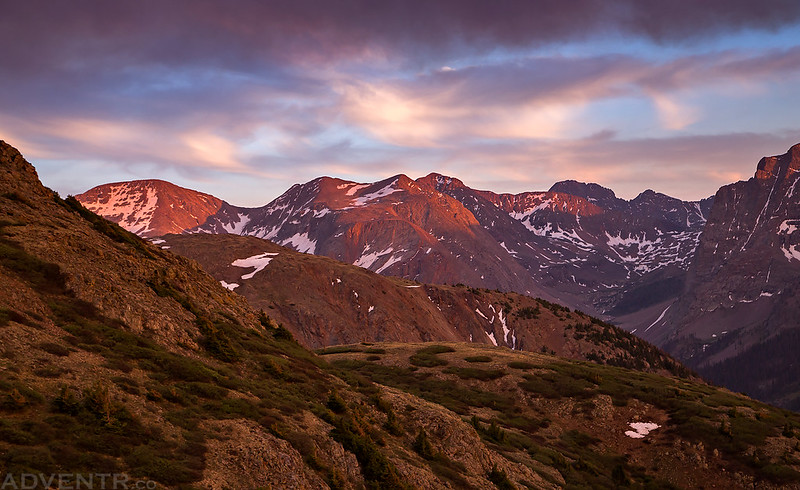
Nice light on Peak Two (13,475) on the other side of the Elk Creek drainage.
I like how the smoke seems to be reflecting the shape of Arrow Peak in this photo.
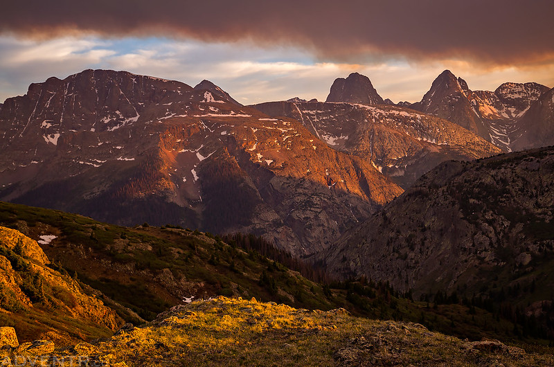
Seriously, this was probably the best sunset I have seen this year, so far. I just love how the colorful smoke framed the Grenadier Range!
Vestal & Arrow Peaks
One last panorama of the colorful smoke over The Grenadiers.
One last parting shot of White Dome (13,627) before I started hiking back down to camp.
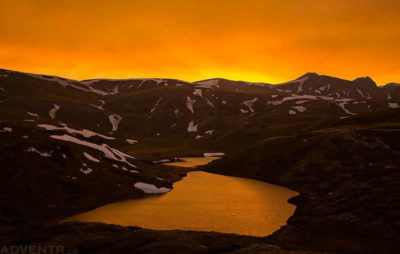
During my hike back down to camp I got to watch the color of the sky change over the Verde Lakes. First it was an intense golden color…
Then it turned magenta as the light faded. The Verde Lakes were many different colors this evening, but not green!
The wind did die down after sunset, but not as completely as I would have liked. There were occasional strong wind gusts throughout the night that would hit our tent and make a lot of noise. Diane had no trouble sleeping through the noise, but it prevented me from sleeping very well.
Thankfully, our tent does very well in high winds as we found out last June in the Great Sand Dunes.
Since I didn’t sleep well during the night, I decided to skip getting up early enough to catch the sunrise on Sunday morning. When we did finally get up, the sky above was mostly blue and hazy since the thick smoke hadn’t moved back over this way yet. Some of the shallower water near camp had frozen over during the night, so it must have dropped down below freezing at least a little bit. We had stayed pretty warm in the tent, so it didn’t feel too cold when we got up, especially in the sunlight.
After packing up camp, it was time to leave Verde Lake behind and start hiking back to the trailhead.
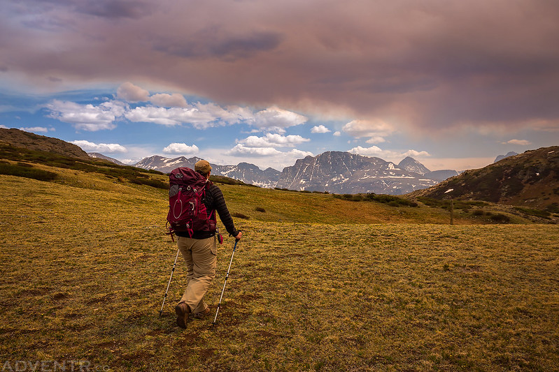
Leaving The Grenadiers behind as we hiked with a chilling cold wind to our back.
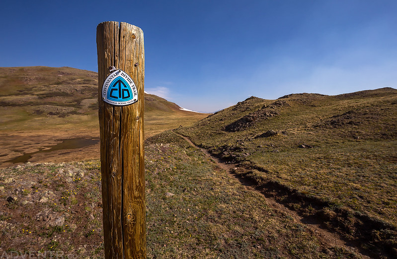
We didn’t return the way we had come and instead made our way over to the Continental Divide Trail to create a loop that would return us back to the trailhead.
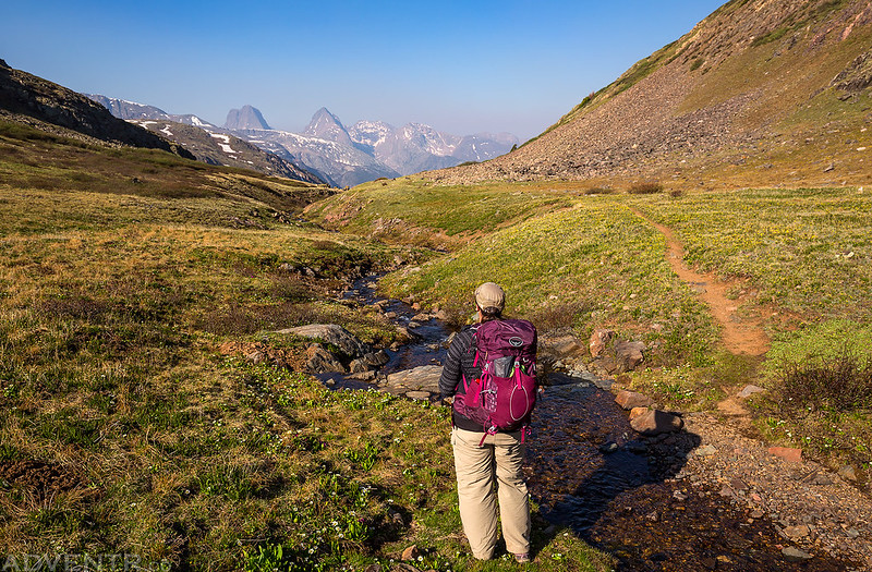
As we hiked toward Deep Creek we had a hazy view of Canby Mountain (13,478) in the distance, which I climbed from Stony Pass a couple of years ago.
A view looking down the final descent of our hike back into Cunningham Gulch with Little Giant Peak (13,416) and King Solomon Mountain (13,220) towering above through the smoke that was now filling up the valley again.
After returning to my Jeep, we drove down to Silverton and had lunch at the Kendall Mountain Cafe. Their burger and fries are always great. With Highway 550 now closed down indefinitely, the town was nice and quiet on this Sunday afternoon. While we were waiting for our food we would learn that the high winds the previous day had caused the 416 Fire to double in size! No wonder there was so much smoke and ash! After finishing our lunch we drove back home over Red Mountain Pass. It was a very nice weekend and it felt great to be back in the San Juan Mountains!
>> Highland Mary Lakes & Verde Lakes Photo Gallery
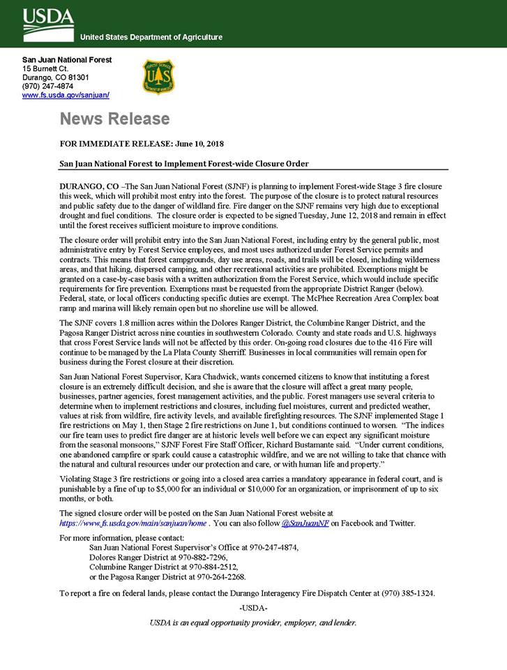
Update 6-12-18: Well, I’m glad we went on this overnight backpacking trip into the Weminuche Wilderness when we did since just two days after we returned the entire San Juan National Forest is now completely closed indefinitely because it’s so dry out! I sure hope we get some much needed moisture down there soon! You can read the full closure order below.

Another outstanding story and photography! There is no fire “season” any more. Fires all year long. Very sad state of the planet. Even here in Pac NW it is not wet enough to moderate the fires.
FWIW, I bet what you thought was a passenger jet was actually one of the new Fire Fighting Jets. We had a bunch of fly overs here in Boulder that had us puzzled and realized when we saw the news that what we were seeing so low was in fact the Fire Jet heading for refuel at Jeffco Airport. Looks like the old Boeing 727 or MD 80.
Happy trails!
Thanks for the info Jay! That’s probably what it was. It was very surprising to see it so low!
Beautiful photos. We’re headed here next week, annual scout High Adventure trek. Looks amazing, can’t wait!
Going to be a lot of snow up there still!