Press "Enter" to skip to content

Month: December 2014

Arch Slough Snowshoe

Saturday, December 20, 2014

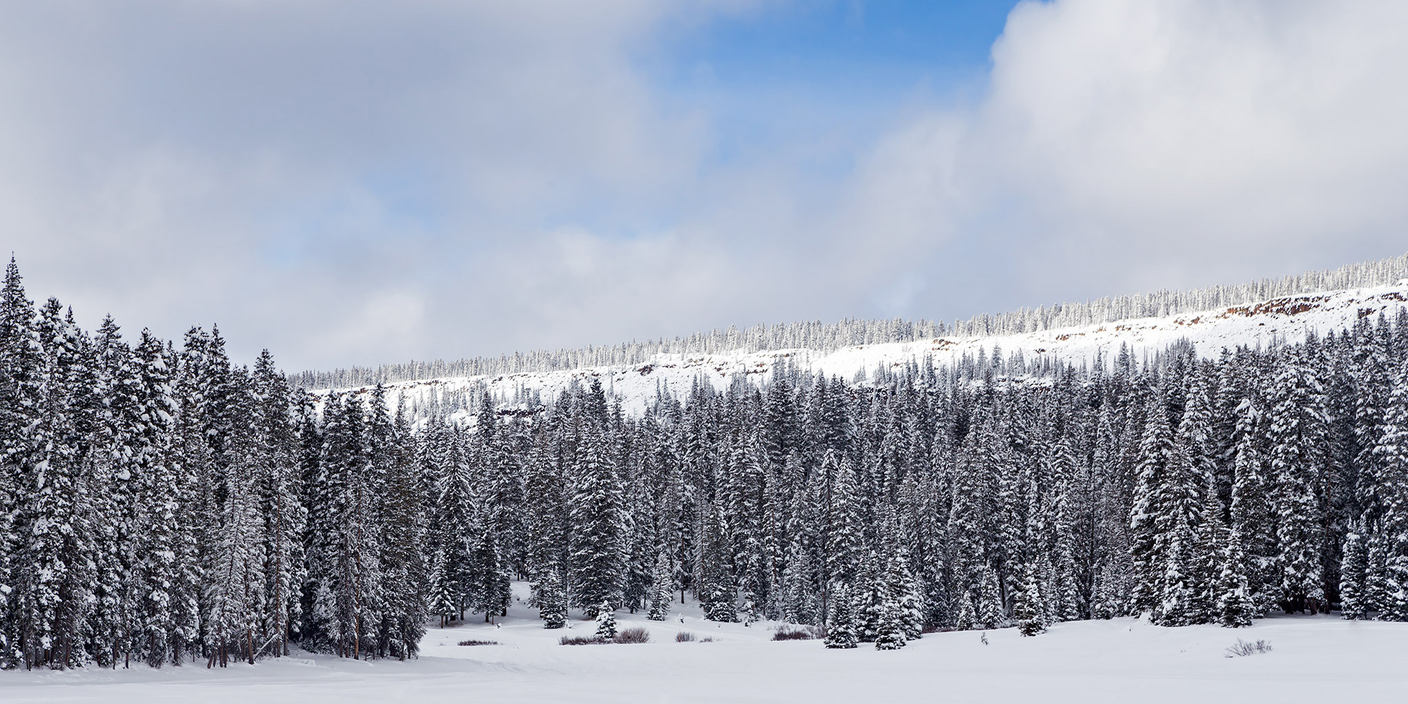
After being lazy last weekend, Diane and I decided to drive up onto the Grand Mesa this morning so we could get in our first snowshoeing trip of the season. We wanted to go somewhere new and away from the crowds, so we parked near the Visitor Center and took the trail to Arch Slough Reservoir. It was certainly a good trail to get away from the crowds since no one had been on it yet this season. That meant we had the privilege of breaking trail through about three feet of fresh powder the whole way. It was a good test for my new snowshoes and I even got to try out the extension tails. Even with the additional length from the tails we sunk in the powder pretty deep. It was definitely a good workout and very tiring. Diane and I took turns breaking trail and it was a lot easier for the second person. After reaching the reservoir we returned to the trailhead the same way so we wouldn’t have to break even more new trail. The hike was a lot easier on the way back!

Leave a Comment
A Little Fog in the Monument

Sunday, December 14, 2014

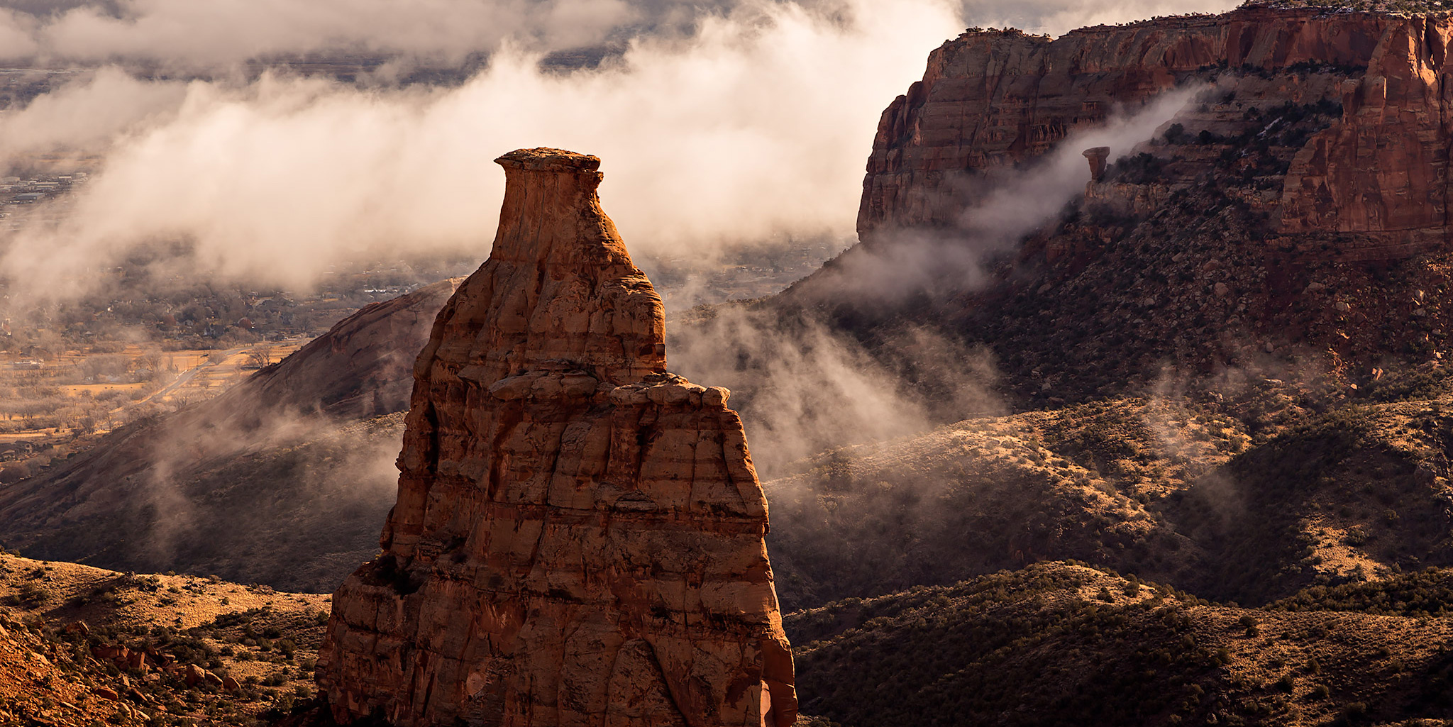
After spending a rare lazy Saturday at home, I saw there was a little fog hanging around the canyons of the Colorado National Monument this morning and decided to drive up there to take a few photos. I wasn’t able to go very far since the Monument had closed Rim Rock Drive at the Independence Monument Viewpoint, so most of my photos were from that area.

Leave a Comment

Toms Canyon to the Little Dolores River

Saturday, December 6, 2014

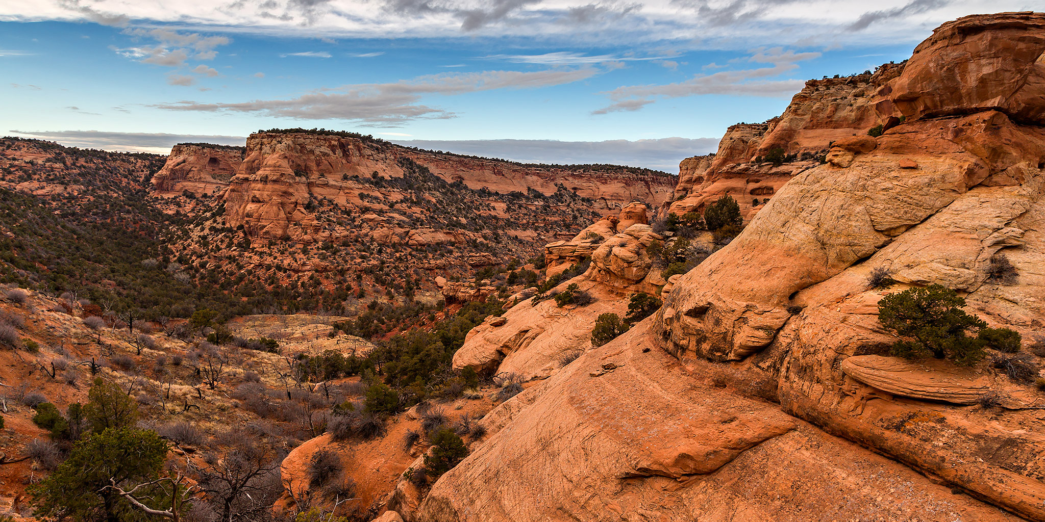
In a recent conversation with a Facebook friend, he mentioned to me that there might be some rock art located along the Little Dolores River between two parcels of private property. After doing some research on the property boundaries and finding that access would probably be possible by hiking down Toms Canyon, I mapped a possible route on Google Earth that avoided all private property and stayed on BLM land to the area. The only concern I had left was finding an access point down into Toms Canyon from the rim. I had found a spot on Google Earth that looked good, but would not know for sure until I was there and checked it out for myself. On Saturday morning I decided to head up and give this hike a shot. After stopping at the Visitor Center in the Colorado National Monument to pick up a calendar that features one of my photos, I continued up through Glade Park to the Little Dolores Road and took it almost to it’s end at the private property. I turned off on a side road that lead to a campsite and started hiking from there. First, I had to climb to a short pass on a faint trail that gave me a nice view down into Toms Canyon. The faint trail I followed up to the pass pretty much ended there and I had to bushwhack through the steep and rocky wash on the way down into Toms Canyon. There was one rocky ledge that I thought was going to stop me and prevent me from going further, but after a little searching I managed to find a way down. It turns out that the route I had planned in Google Earth worked out perfectly. Once I was down in Toms Canyon the hiking was much easier and I followed some well-used cow trails.

Leave a Comment