Sunday & Monday, May 9-10, 2009
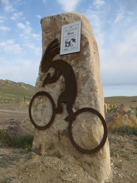
This past weekend I finally got around to completing a trail that has been on my to-do list for quite a while….The Kokopelli Trail. When people hear the name Kokopelli, they usually associate this trail with mountain biking. While it is indeed a popular mountain biking route, this trail follows old four-wheel drive roads for much of the way. There are only a few sections of singletrack that need to be bypassed.
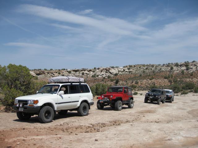
This trip was put together by Jan on ExpeditionUtah a few months ago, and in the end there were five vehicles total that showed up. We all met on Saturday night at El Tapatio in Fruita for dinner and then headed to Loma where a few of the guys setup camp for the night. Being local, I went home and slept in my comfy bed for one more night 😉
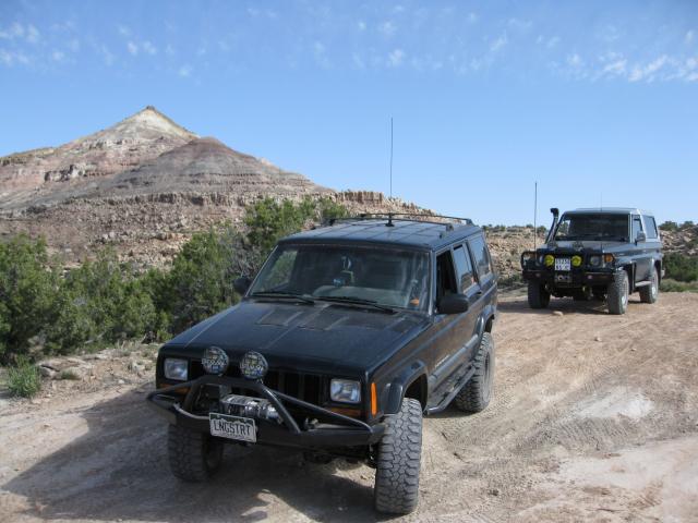
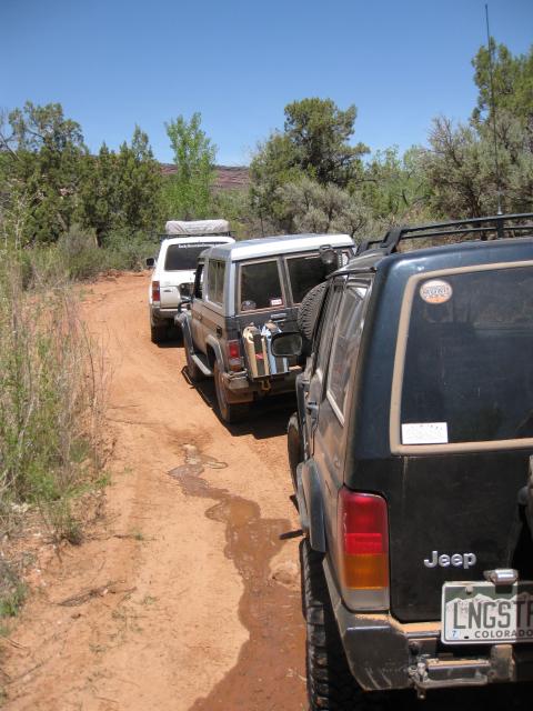
Bright and early on Sunday morning we all met up at the Kokopelli trailhead in Loma to get our journey started.
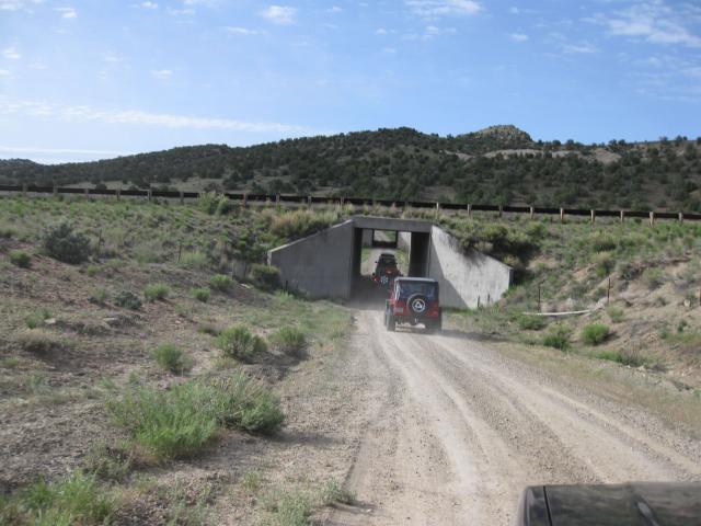
The route started out on a gravel road that follows the interstate and ends at the Mack exit. Once at the Mack exit, we were forced onto the pavement to bypass the first section of singletrack on the trail. We had to hop on the old Highway 6 & 50 and take it for a few miles to Sidewinder Road, which would take us back under the interstate again.
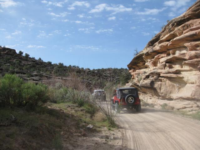
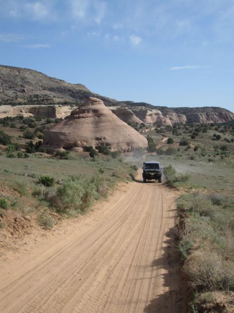
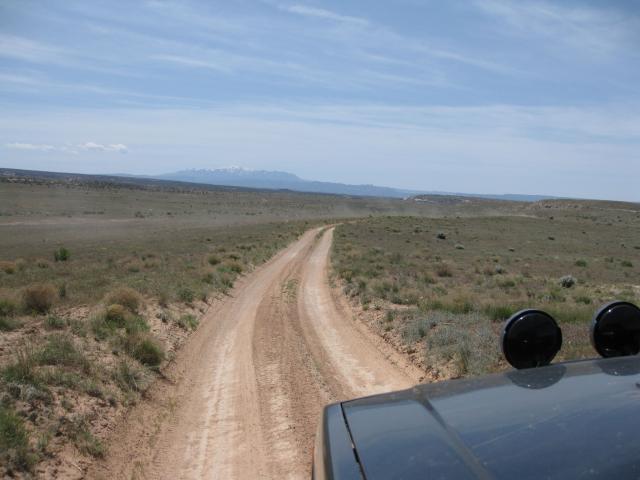
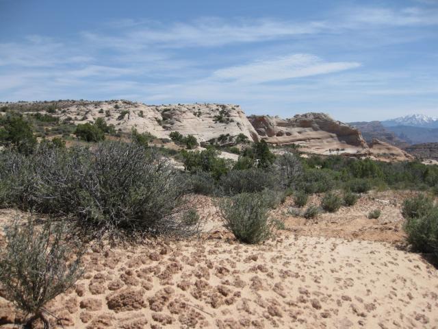
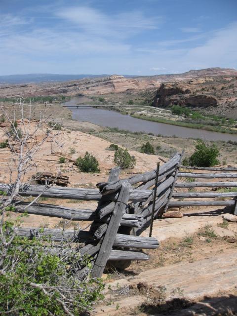
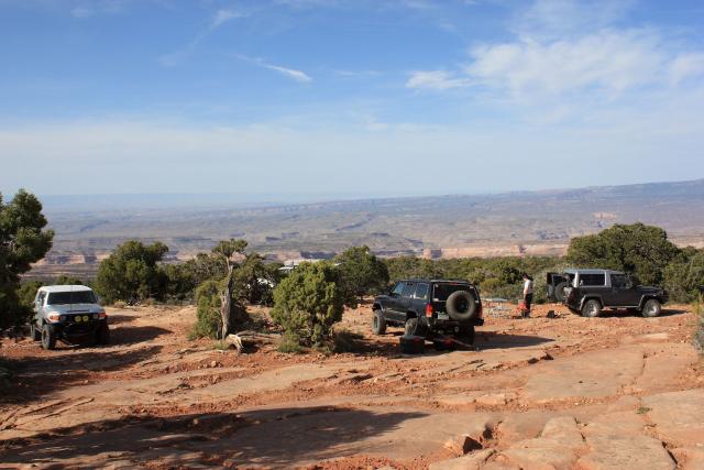
Sidewinder Road took us back to the Rabbit Valley Road which is where we joined back up with the Kokopelli Trail again, and wound our way through Rabbit Valley and the McDonald Creek Cultural Resource Area.
Headed down McDonald Creek
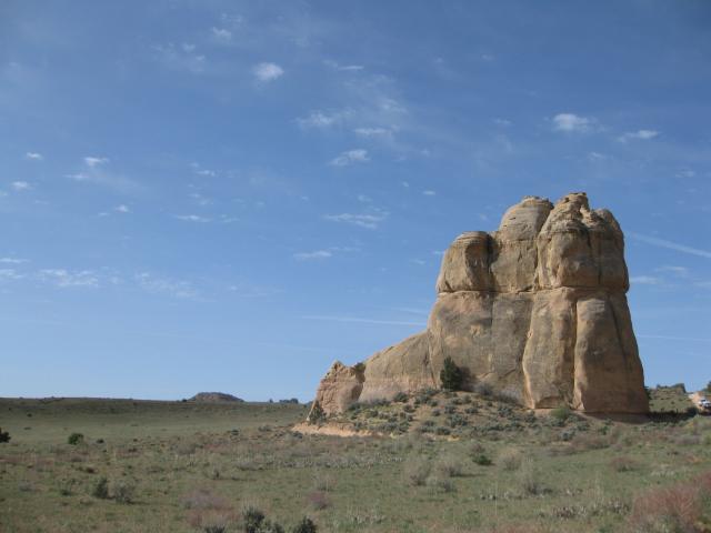
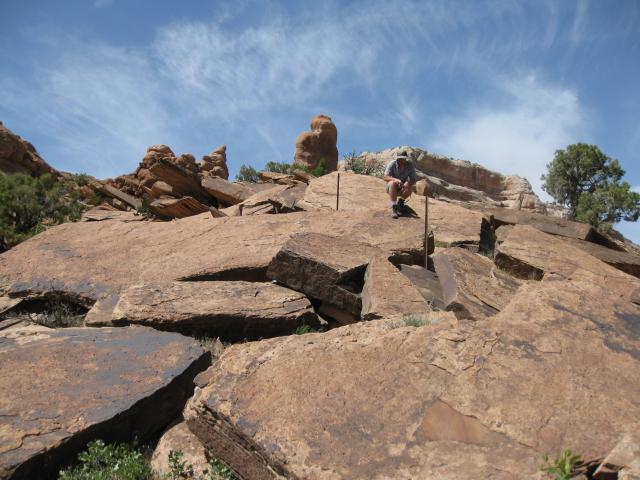
Castle Rocks
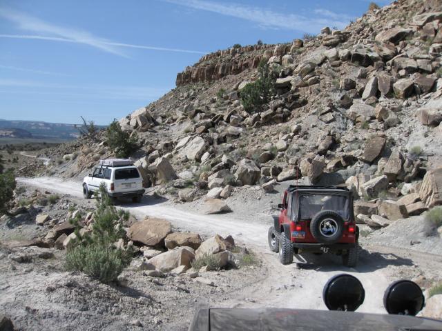
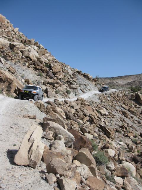
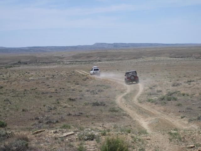
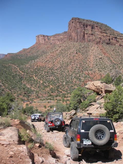
Following the Kokopelli into Utah

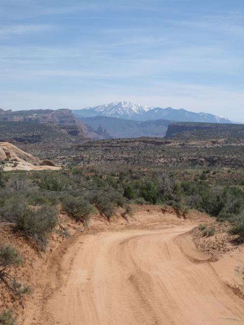
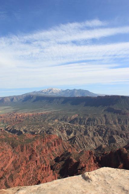
Wide open dusty road between Westwater and Cisco Landing. La Sals poking up in the background
After stopping for short lunch at an overlook near the Cisco Landing Road, we made our way over to the crossing at Cisco Wash.
Little used two-track to Cisco Wash
Crossing Cisco Wash
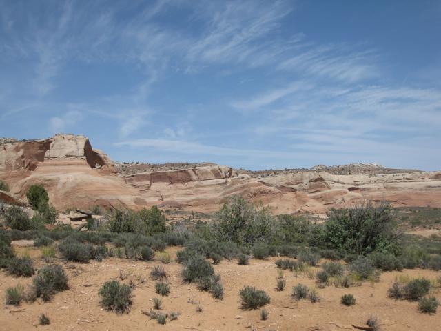
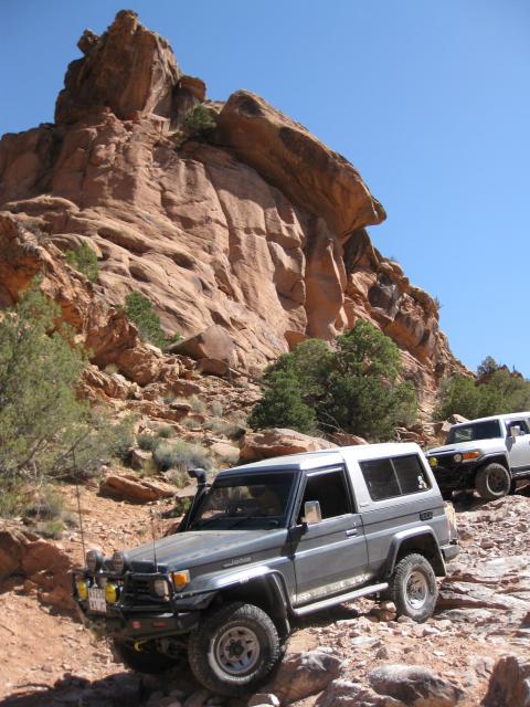
After making it across we made our way over to highway 128 and crossed over into the Dome Plateau area.
Viewpoint Arch
Headed down to Dewey Bridge
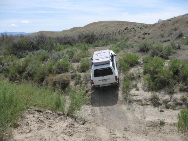
After crossing the Colorado River we followed the Entrada Ranch Road for a bit, and then took a side trip off of the Kokopelli up to Top of the World where we camped for the night.
Our campsite near the top
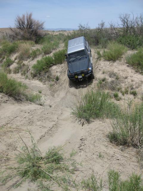
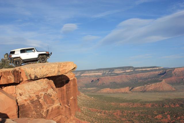
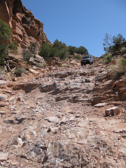
After a good nights sleep we headed down from Top of the World and made our way over to Rosegarden Hill.
After making it to the bottom and heading out to Onion Creek Road, Colin had a little issue with a flat tire.

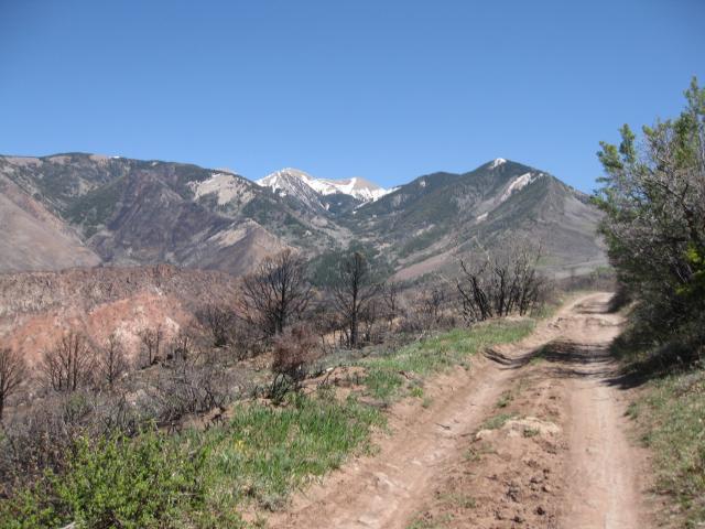
From this point Kevin and Colin went back to town while Greg, Jan and myself finished up the trail through Thompson Canyon, up the La Sal Loop Road and then down the Sand Flats Road to Moab.
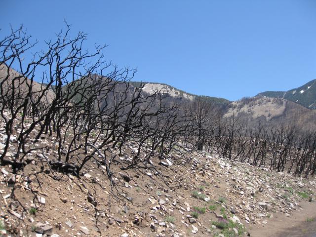
Burn area along the La Sal Loop Road

The Kokopelli Trail makes a great two day trip and I’m glad I finally got to run the complete trail from beginning to end in one shot. Now I will be working on mapping and driving the Paradox Trail and Tabeguache Trail to complete the Grand Loop.
You can find the full photo gallery from Sunday here
I am seriously thinking about doing this with my Dad in September when we’re out there. I will be in a full-size Ford F-150 pick-up 4-door. it’s longer wheelbas than what you guys ran it in, but I still think I can make it without any issues. I am a fairly experienced 4 wheeler and am confident of my abilities to do it. What do you think? Rosegarden Hill seems to be the worst of it.