Saturday, June 6, 2026
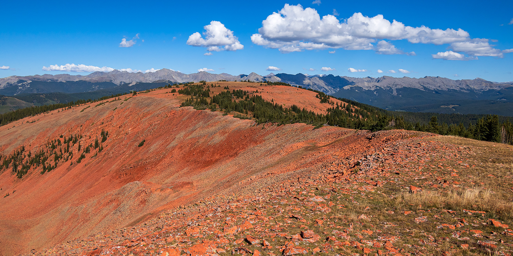
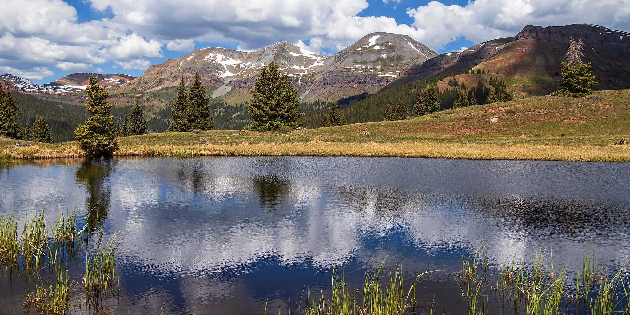
This morning I was on my way to Durango to meet up with my friend Jackson so we could raft the Upper Animas River together on Sunday. But since today was also National Trails Day, I made sure that I gave myself enough extra time to go on a high-country hike in the San Juan Mountains along the way. After following the Million Dollar Highway from Ouray to Silverton, I stopped at Little Molas Lake just above Molas Pass so I could hike a short section of The Colorado Trail to two small tarns located on a ridge between Lime Creek and North Lime Creek. Although it was clear and a little bit hazy out when I started hiking shortly after 9:00am, clouds started to build quickly later in the morning and by the time I was hiking back to the trailhead the wind had picked up and I was rained on a few times. These are a few photos from the hike.
Leave a Comment