Saturday, February 27, 2016
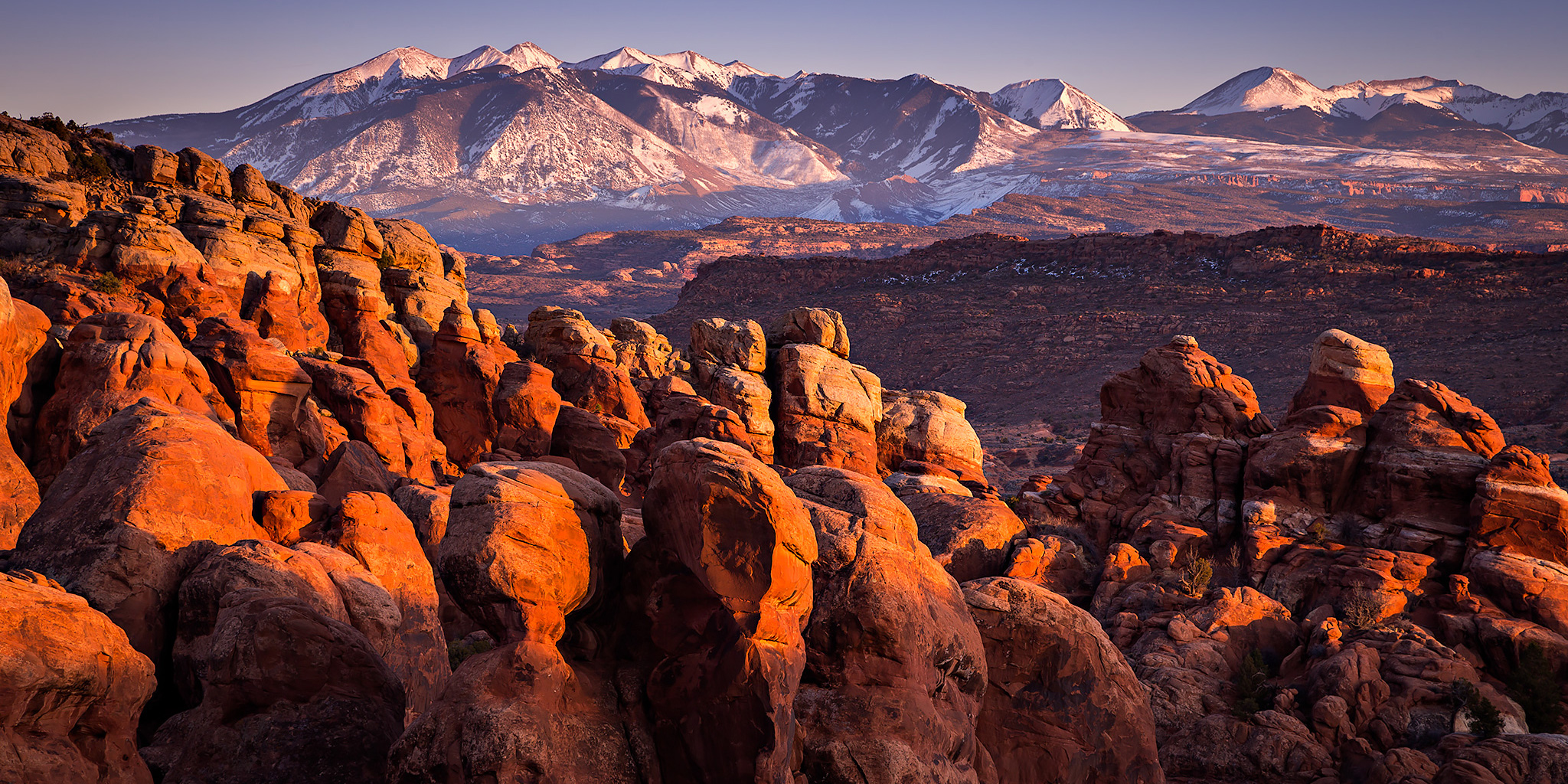
About three years ago I went on a ranger-guided tour of the Fiery Furnace in Arches National Park with my friend Jackson to check out the area for the first time. Since I was in a group of about 25 people that day I didn’t bother to pull out my camera and take many photos and I knew that I would want to come back on my own another day. Today, Diane and I decided to get a permit and head back to the Fiery Furnace so we could explore the area on our own.
1 Comment