Press "Enter" to skip to content

Category: Hiking

Coyote Buttes North Tour

Monday, December 29, 2014

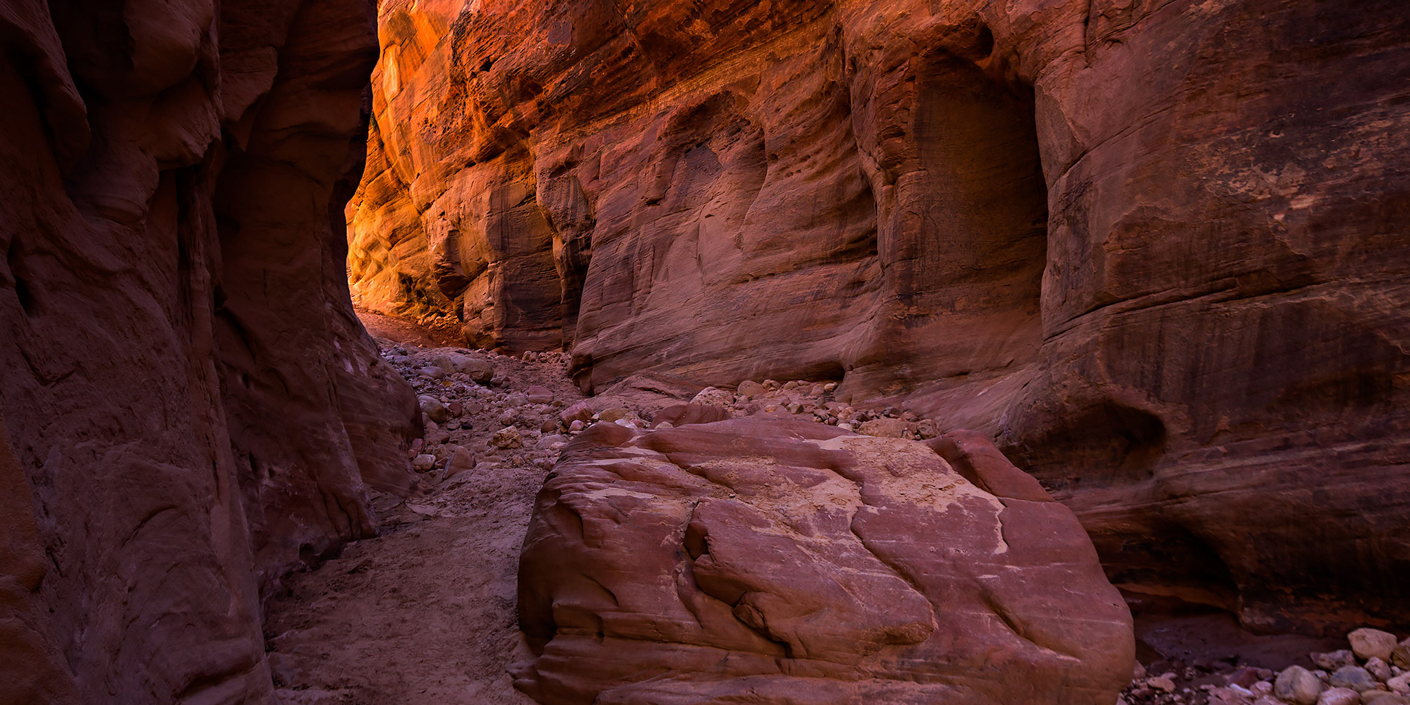
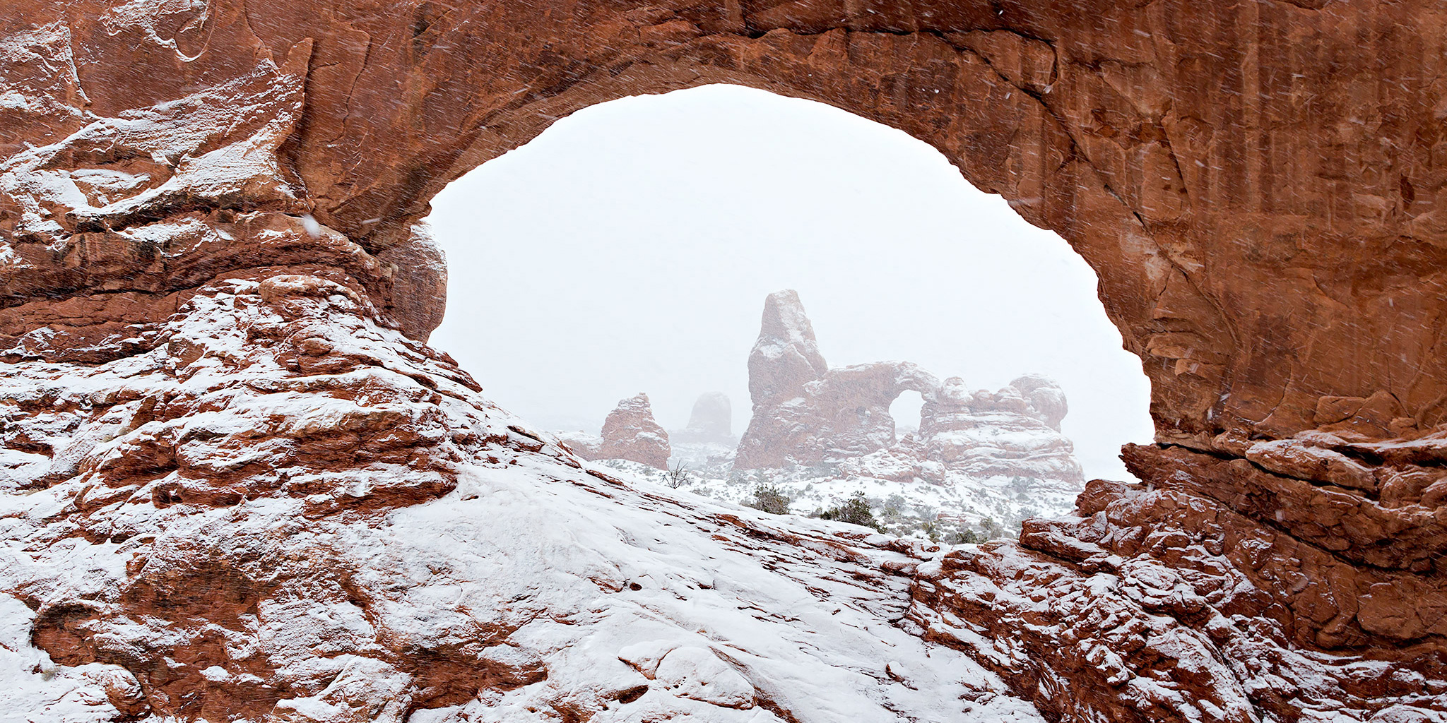
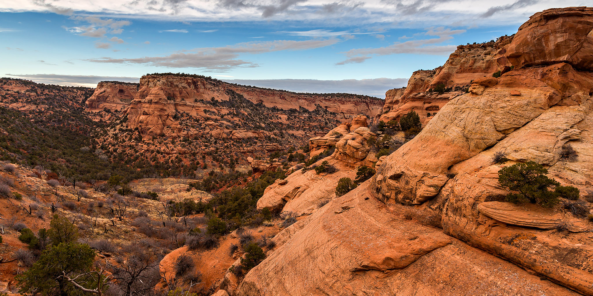
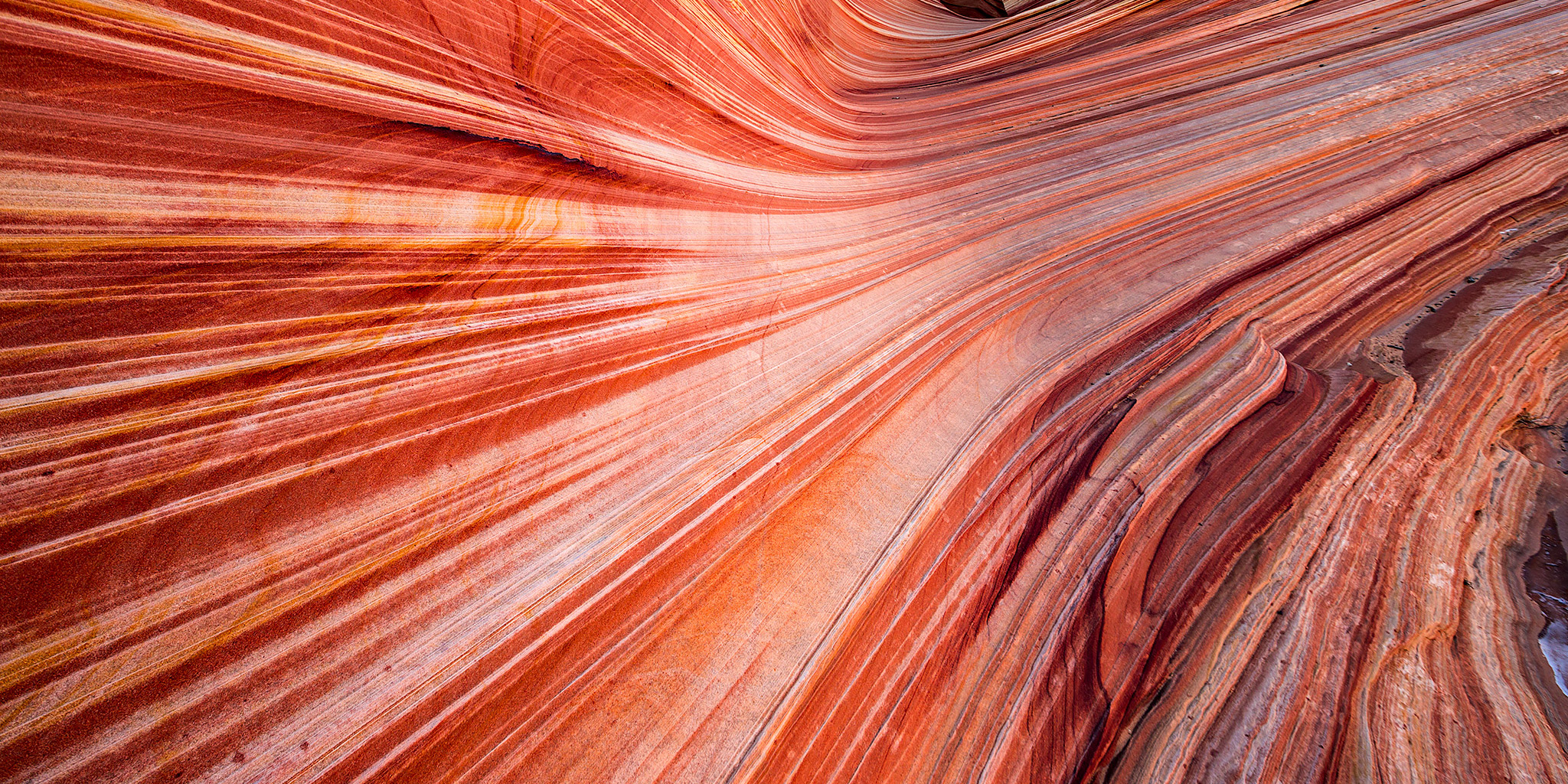
On Monday morning we got an early start and drove back to the Wire Pass trailhead so we could spend the day in Coyote Buttes North and visit the Wave. While I have been here plenty of times over the past couple of years and had no intentions of returning this year, Diane had never been here before and really wanted to visit the Wave. I managed to get a pair of permits for today and that’s the main reason we planned this end of the year trip to Page. The last few times I have been to Coyote Buttes North I barely stopped by the Wave and instead explored other areas that are less visited, but this time we hiked straight to the Wave and waited until it was in good light. While waiting for the sun to crest over Top Rock and light up the Wave I explored more of the area above and took a few photos under Top Rock Arch. While the temperature outside wasn’t too cold this morning, it was pretty windy all day and that kept us pretty chilled, especially when we were in the shade.

1 Comment

Wire Pass to Buckskin Gulch

Sunday, December 28, 2014

On Sunday morning we drove over to the Wire Pass trailhead from our hotel in Page and arrived shortly after the sunrise. Our plan for today was to hike through Wire Pass and then down Buckskin Gulch for a few miles. Unfortunately, we would not be unable to go down Buckskin Gulch from the confluence with Wire Pass because of some large pools of water blocking our way, and we weren’t prepared to get wet on this cold December day. I had hoped that any water in the canyon might be frozen so we could walk right over it, but that was not the case. Instead, we turned around and hiked up Buckskin Gulch until we exited the narrows. When the canyon opened up I noticed a playground of sandstone above the wash and below the West Clark Bench, so we climbed up into that area and explored the colors and shapes of the sandstone for a while. We made a big loop and ended up back down in Buckskin Gulch again. As we hiked back down towards Wire Pass, the light in the canyon was much nicer than on our way up, and I stopped to take many photos along the way.

2 Comments

Christmas in Arches 2014

Christmas Day | Thursday, December 25, 2014

If you’ve been following my blog for more than a year, you might already know that I have an annual tradition where I spend Christmas Day in Arches National Park every year. This year would be the first time Diane would be joining me on this annual trip. There was a snowstorm in the forecast for Christmas Day in Grand Junction and Moab, so I made sure that we left very early in the morning so that we could beat the storm and would hopefully only have to drive through it once. The plan worked out pretty well and we only encountered some snow around Crescent Junction that slowed us down for a few miles. The snow didn’t start to fall in Arches until we were in the park, so our timing was perfect! Since it was snowing pretty hard when we reached Balanced Rock, I decided to head for The Windows section first so I could try and take some photos in the snow.

2 Comments

Arch Slough Snowshoe

Saturday, December 20, 2014

After being lazy last weekend, Diane and I decided to drive up onto the Grand Mesa this morning so we could get in our first snowshoeing trip of the season. We wanted to go somewhere new and away from the crowds, so we parked near the Visitor Center and took the trail to Arch Slough Reservoir. It was certainly a good trail to get away from the crowds since no one had been on it yet this season. That meant we had the privilege of breaking trail through about three feet of fresh powder the whole way. It was a good test for my new snowshoes and I even got to try out the extension tails. Even with the additional length from the tails we sunk in the powder pretty deep. It was definitely a good workout and very tiring. Diane and I took turns breaking trail and it was a lot easier for the second person. After reaching the reservoir we returned to the trailhead the same way so we wouldn’t have to break even more new trail. The hike was a lot easier on the way back!

Leave a Comment

Toms Canyon to the Little Dolores River

Saturday, December 6, 2014

In a recent conversation with a Facebook friend, he mentioned to me that there might be some rock art located along the Little Dolores River between two parcels of private property. After doing some research on the property boundaries and finding that access would probably be possible by hiking down Toms Canyon, I mapped a possible route on Google Earth that avoided all private property and stayed on BLM land to the area. The only concern I had left was finding an access point down into Toms Canyon from the rim. I had found a spot on Google Earth that looked good, but would not know for sure until I was there and checked it out for myself. On Saturday morning I decided to head up and give this hike a shot. After stopping at the Visitor Center in the Colorado National Monument to pick up a calendar that features one of my photos, I continued up through Glade Park to the Little Dolores Road and took it almost to it’s end at the private property. I turned off on a side road that lead to a campsite and started hiking from there. First, I had to climb to a short pass on a faint trail that gave me a nice view down into Toms Canyon. The faint trail I followed up to the pass pretty much ended there and I had to bushwhack through the steep and rocky wash on the way down into Toms Canyon. There was one rocky ledge that I thought was going to stop me and prevent me from going further, but after a little searching I managed to find a way down. It turns out that the route I had planned in Google Earth worked out perfectly. Once I was down in Toms Canyon the hiking was much easier and I followed some well-used cow trails.

Leave a Comment